Sunday 7th January 2024
This would be my first big walk of 2024 and one that would remain in my memory for some time. In all my years of roaming across Exmoor, I like to think I’ve covered most of it…
In reality, that’s not true. There are pockets and corners that I’ve yet to see with my own eyes. Focusing on the south-west corner of the National Park for this adventure, I had my eyes set on the historic site of Shoulsbury Castle.
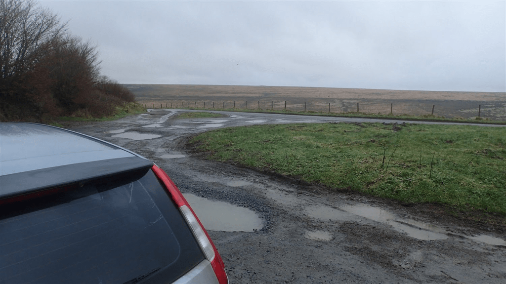
My walk would start from beside the B3223, just north of Simonsbath, in a small layby with space for a few cars (OS grid reference: ST 767 410). From here, I’d join a bridleway heading west and initially, following the Two Moors Way path.
As I crossed the barren moorland, it did begin to snow!
There wasn’t enough to settle or linger. Yet the air remain close to freezing.
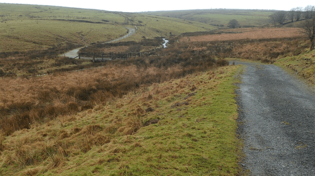
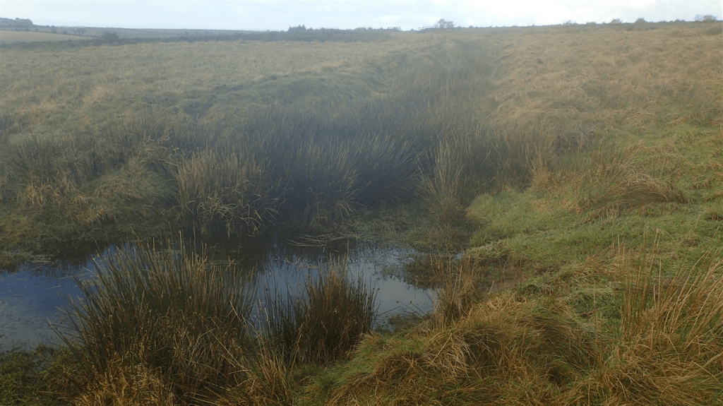
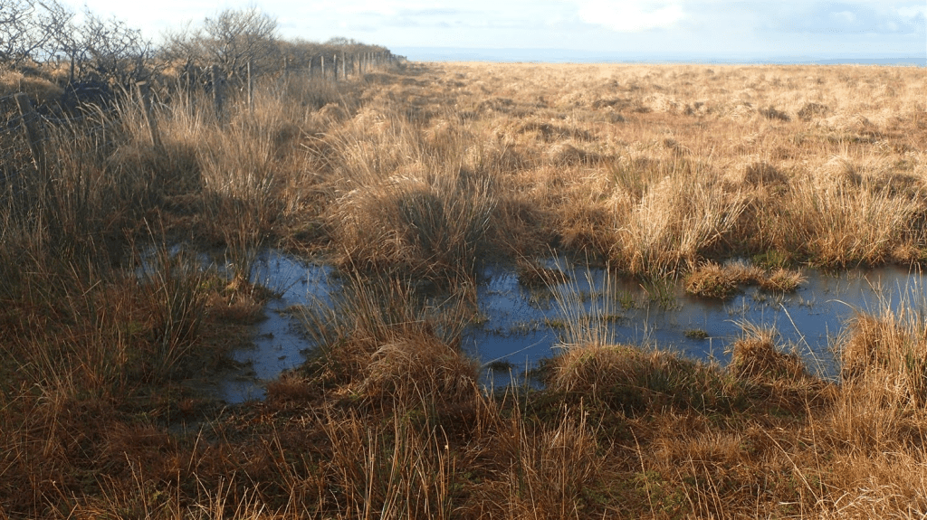
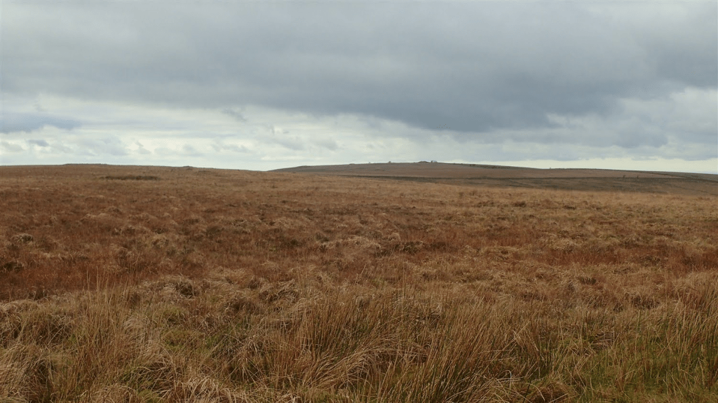
I pushed on, soon passing the site of Exe Head (source of the River Exe). If you’re not careful around here, you can step in to some VERY deep bogs! To date, the “ponds” to the north of this boundary are the deepest I’ve seen on Exmoor.
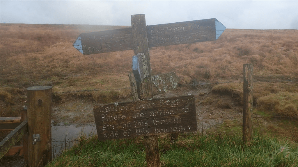
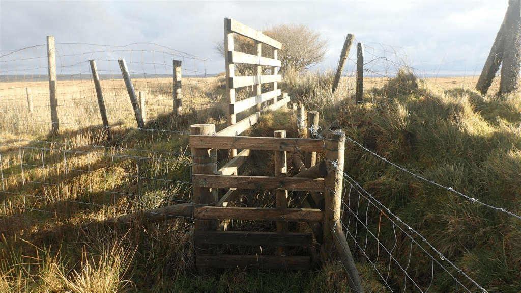
At a junction with the sign you see above; I turned south, following another bridleway and also, a section of the Macmillan Way West.

Crossing the B3358, I continued on towards the next road; passing somewhat close to the Mole’s Chamber. Although, I’ve never made an effort to try and discover it for myself. I believe it to be a small cave-type of affair. Perhaps more of a pothole in the hillside, from which, water escapes.
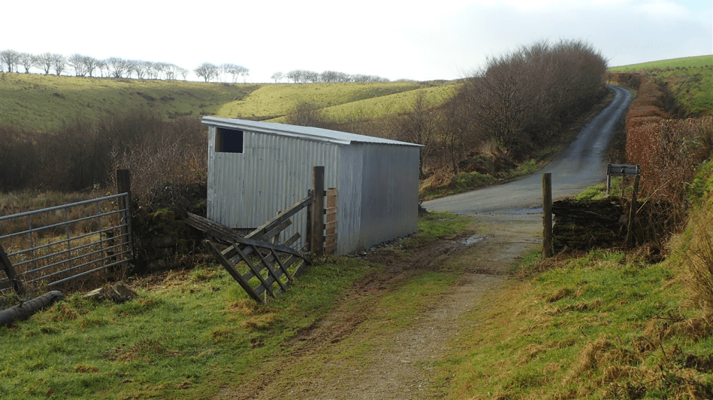
I’ve read numerous times that there was once a pub at this site, close to the road. In any case; at the point of meeting the next road, I’d turn north to follow the Tarka Trail.
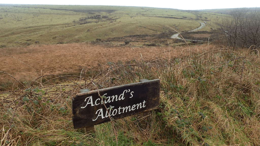
There’s no public right of way of any sort, leading to the site of Shoulsbury Castle. But the land itself, Shoulsbarrow Common, is designated as Open Access Land. I always feel a sense of trepidation when heading off-piste like this. But, I also know my rights. It is not the same as trespassing.

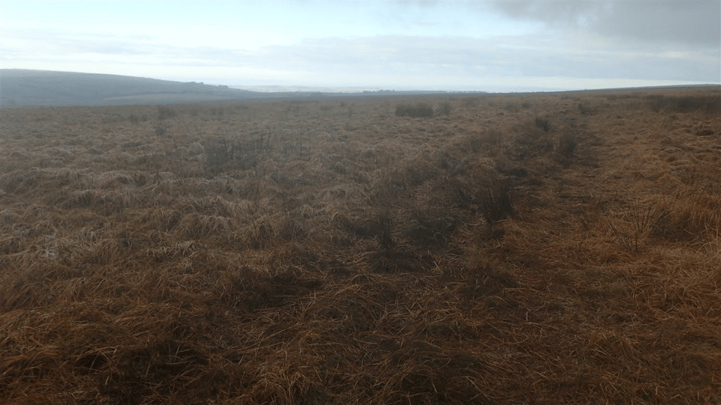
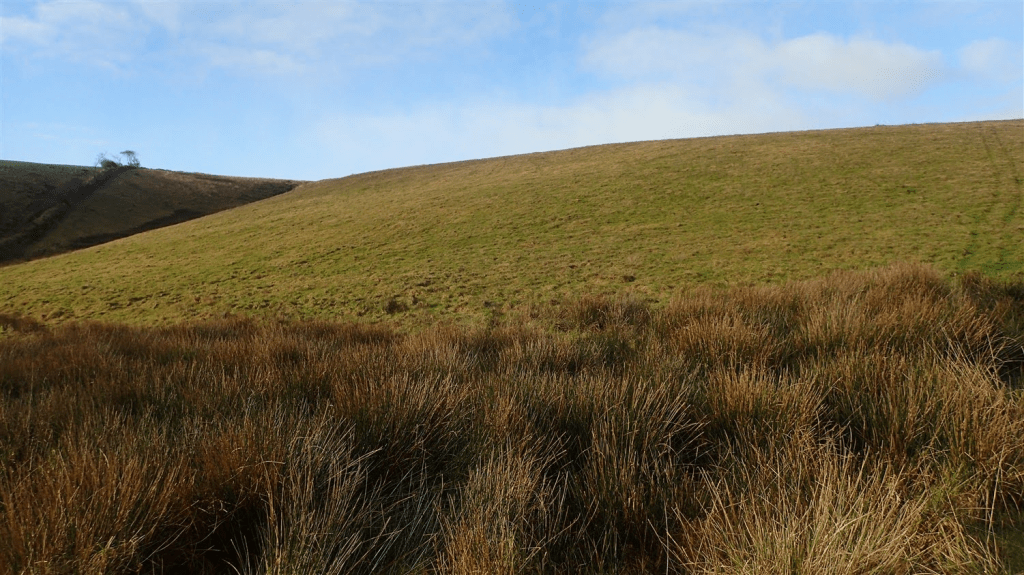
Above, you can see the hill I was looking to climb. Before me, a barbed wire fence that I wasn’t looking to negotiate.
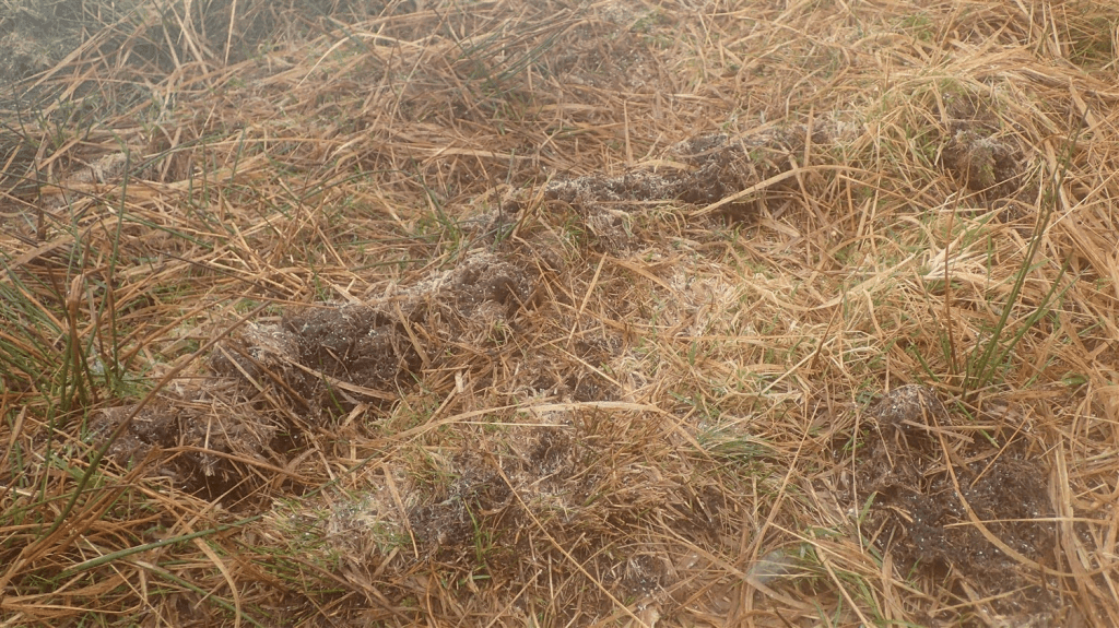
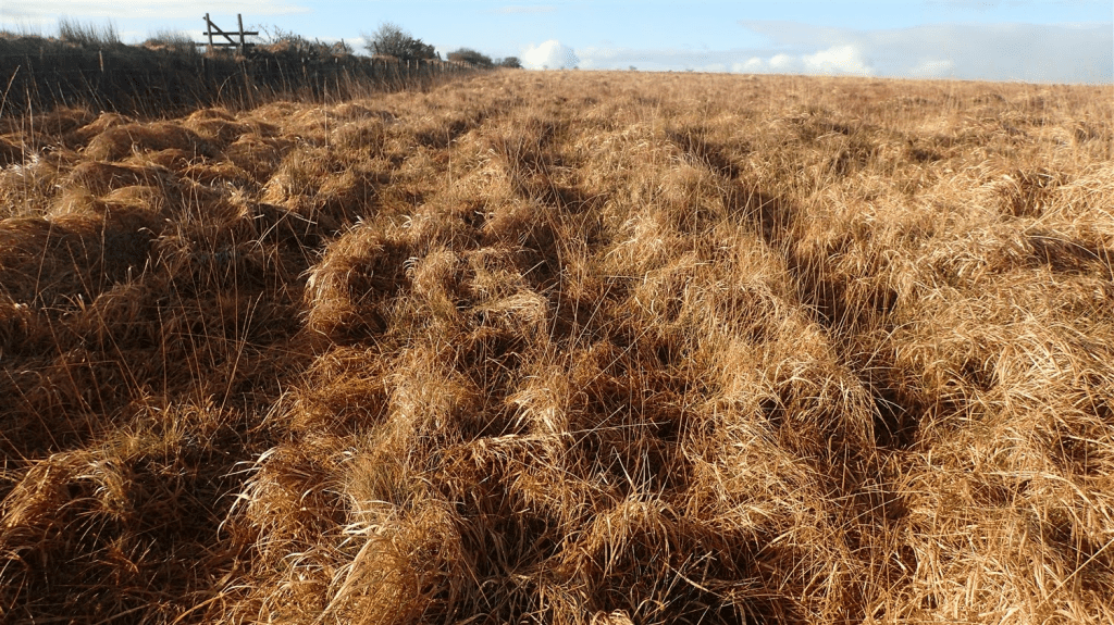
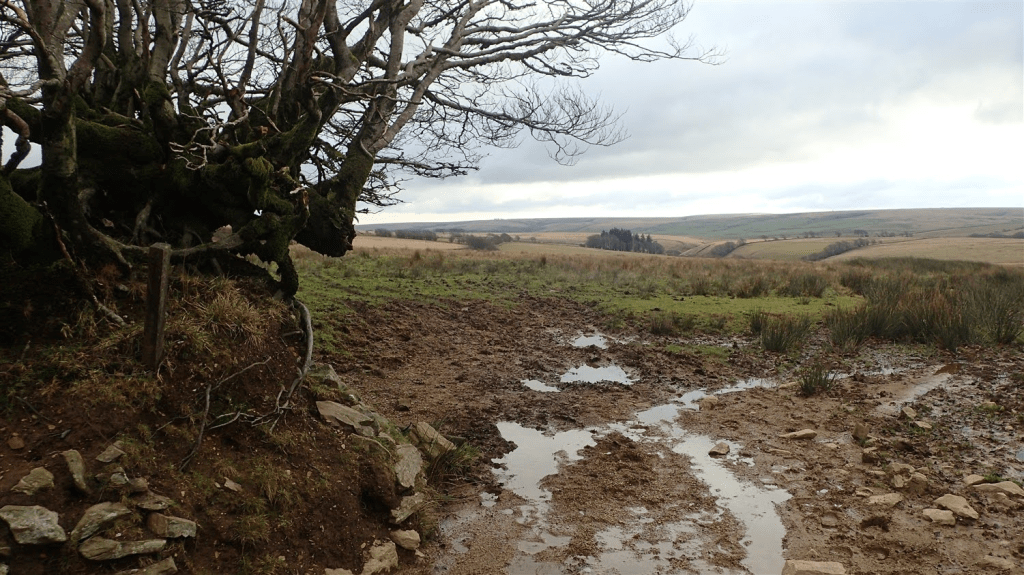
A little bit further up the track and the fence gave way to gorse and tussocks. While a bit wet underfoot, I could safely pass through – and then, I spotted the vehicle tracks ahead, which I could follow as my guide.
Once I’d climbed up and away from the splashy head of that combe, I clung to the field boundary on my left-hand side. Vehicle tracks became faint. Yet I remained confident I could find a way forward.
This was not an easy walk and I met a challenging structure at the field corner. While I don’t recommend this… I did climb over. With some difficulty, as the timber slick with moisture and that barbed wire, ready to slash through my GoreTex layers.
Perhaps, had I wandered further north, I might’ve found a field gate to at least climb… I plan to revisit this area for a YouTube video one day. Perhaps that will be the time to find out!
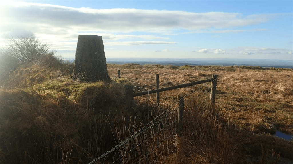
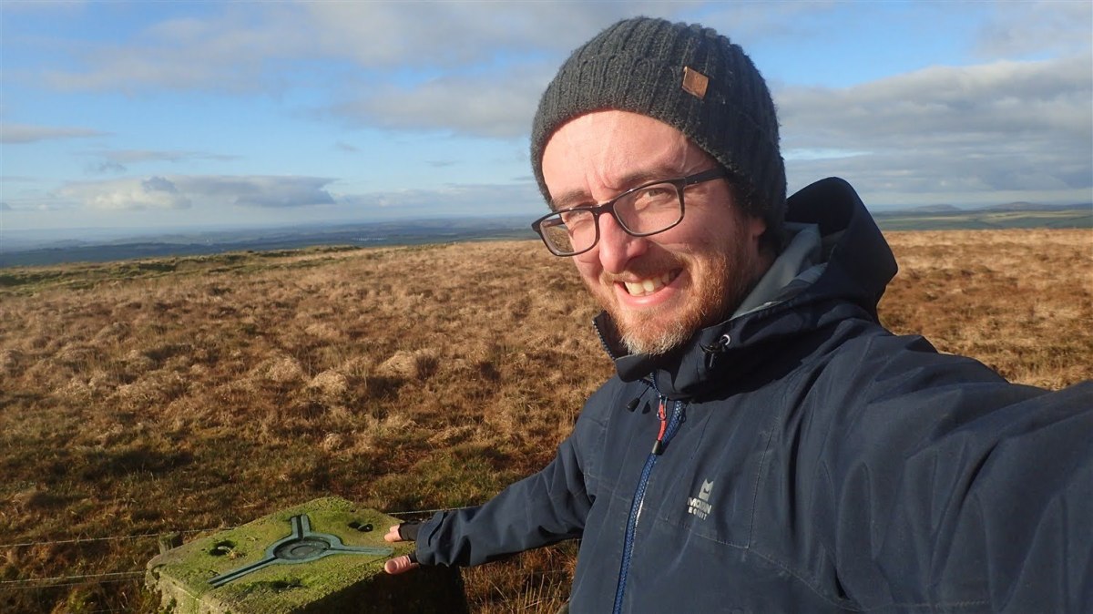
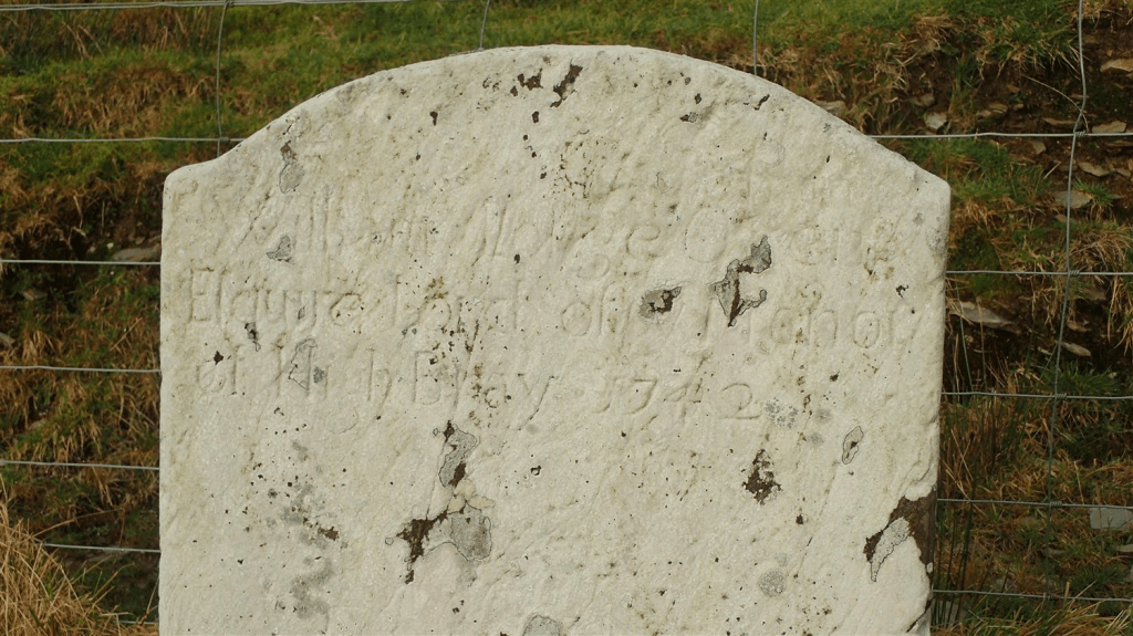
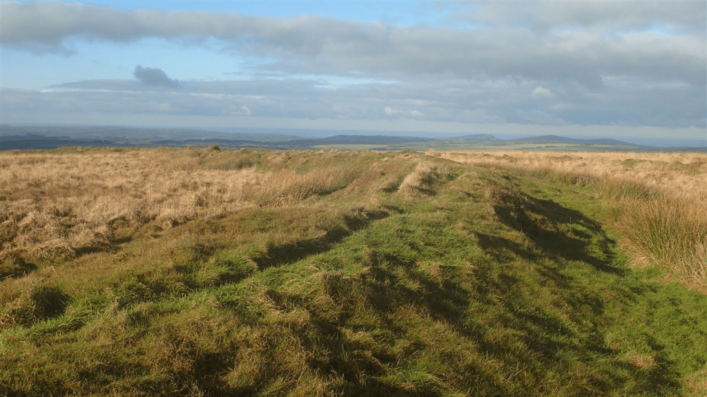
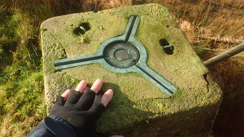
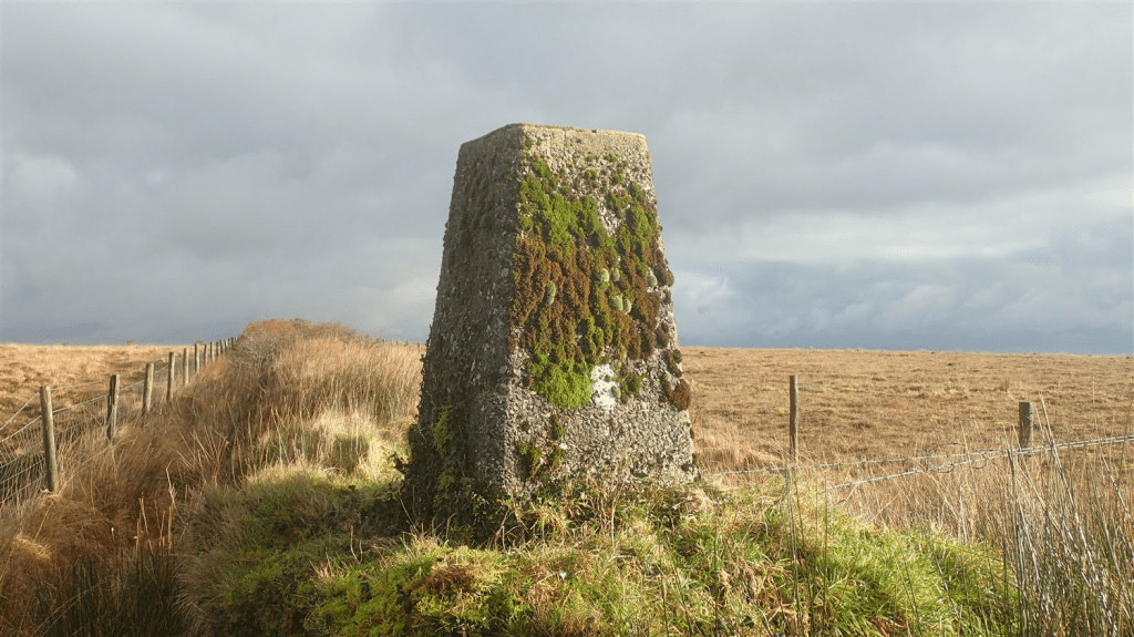
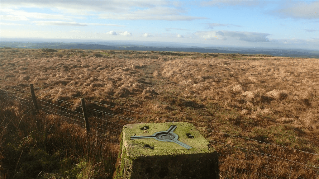
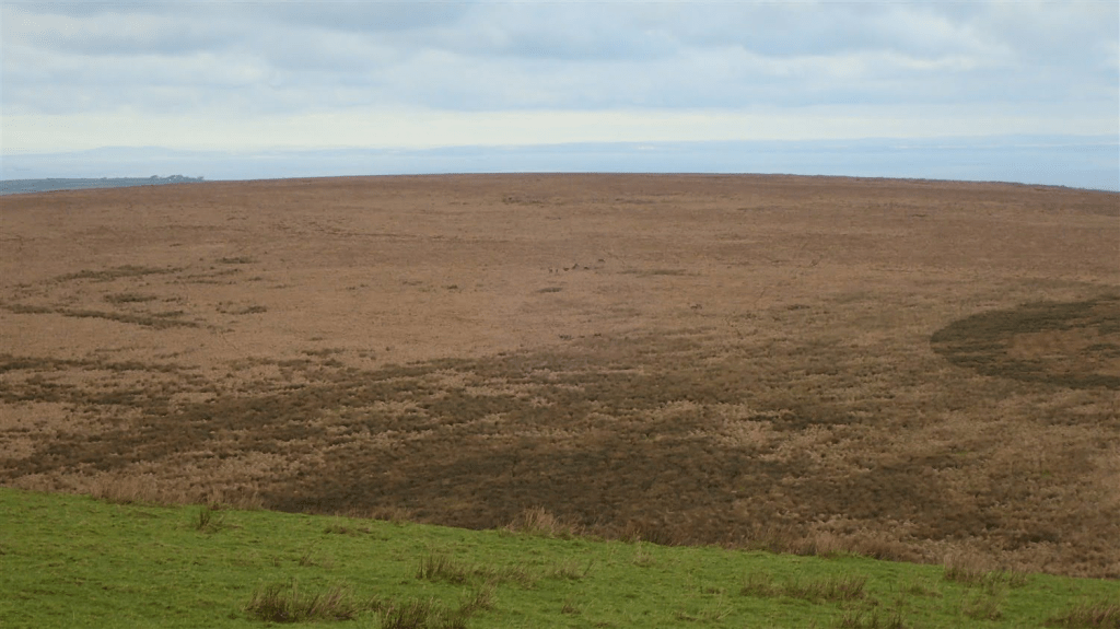
Having survived that first climb, I could soon see the trig point I’d been searching for and, beyond that, the Iron Age fortification of Shoulsbury Castle.
While it’s hard to see from such a low vantage point, this fort was worked in to more of a square formation. Elsewhere, around the UK, I’d expect to see round or oval shaped Iron Age forts.
I sought shelter from the wintry air within the shallow ramparts and remained here for some time. I also wondered; if I was to lay here for an indefinite period of time, how many days would pass before I was discovered?
Aside from the vehicle tracks I’d seen earlier, there was no livestock present.

As you’ll have no doubt guessed from the image at the top of this page; I did scale a second barbed wire fence to reach the trig point…
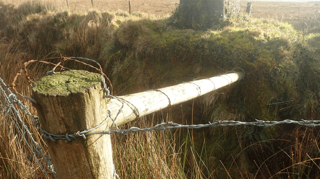
But this one, I’d strongly NOT recommend. If the wire lashed around the horizontal brace doesn’t get you, there’s a sloppy ditch below to plant your legs in to! Then, of course, you have to get back over to this side!
I’d soon retreat along the exact same course that had led me here… Back over the double-fencing at the field corner. Splashing across the hilltop, then down to rejoin the Tarka Trail, heading north.
In my mind was the idea to visit a second site on this walk – one dating back to the Bronze Age. It wasn’t far away but, this was early in to a new year and I could already feel a physical reluctance to add too many miles to this winter’s day.
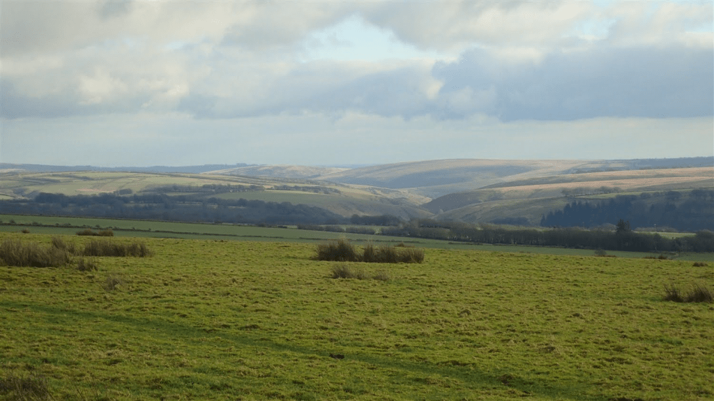
Walking north, I crossed the B-road again near the Edgerley Stone and then walked as far as Woodbarrow Gate. It was at this point, that I contemplated the option of venturing away to the north-west.
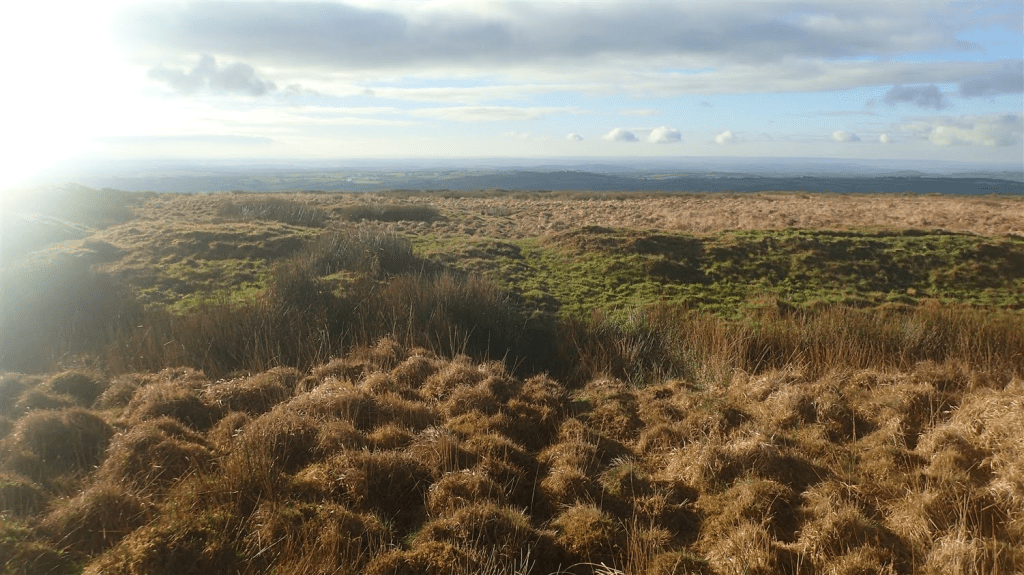
Above, you can see some of the mounds and features that would’ve led me towards Chapman Barrows. But it would also have involved trekking back this very same way.
Perhaps, when I do return here with my action camera, I’ll feel strong enough to visit both historic sites in one day. I do find it’s a long drive to get here from home – down the M5 motorway to Junction 27 and then, east along the A-road for many miles more.
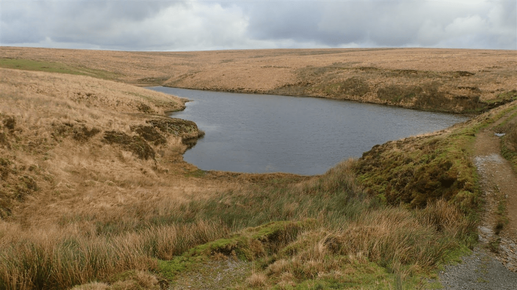
But for now, I turned to the south-east; soon passing Pinkery Pond to rejoin my outgoing route near Chains Barrow. On a day that is far from January, you can almost expect to see people swimming in that water.
Just down from here is the Pinkery Centre, which is also the official start and end point for the Exmoor Perambulation, which takes place in June each year.
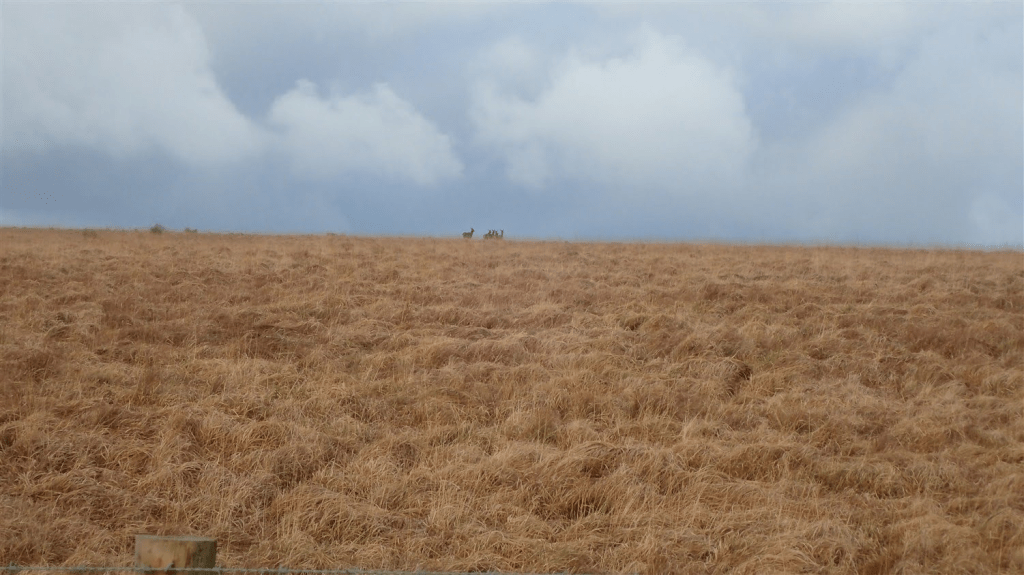
Retracing my steps of the morning, I might’ve passed a couple more people but not many more. A small herd of deer had spotted me first and maintained a distance.
As I returned to my car and with a long drive home ahead of me, I started my car’s engine to find the ‘battery warning light’ alive in orange. Where I’d parked, there was no phone signal available. My car had started fine and seemed to be idling okay so, I drove on. A few days later, I had it booked in to a local garage and, £400 later… My car had been fitted with a new alternator!
All I’m saying is, to be aware that phone reception can be very poor in these areas. I’m very grateful that my car was able to get me home. Otherwise, with very little passing traffic, I’d have been looking at an icy walk down in to Simonsbath and back, with daylight fading.
I look forward to returning to and repeating this walk in 2025.
Length of this walk: 12 miles
Click here to see my route on OS Maps
Thanks for reading.
