Wednesday 15th May 2024
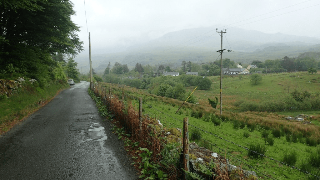
I’d been wanting to walk the Nantlle Ridge for a few years, prior to this trip. My original plan was to to it in March 2023. However, the weather was awful for much of that week and instead, I settled for a lowland walk through nearby Beddgelert Forest.
Ridge walks are often some of my favourites and, if I can tie them in to a circular route, it can make for a great day all round. I wasn’t overly familiar with the area and so, put my trust in a route discovered on OS Maps…
Link to the route I followed on OS Maps…
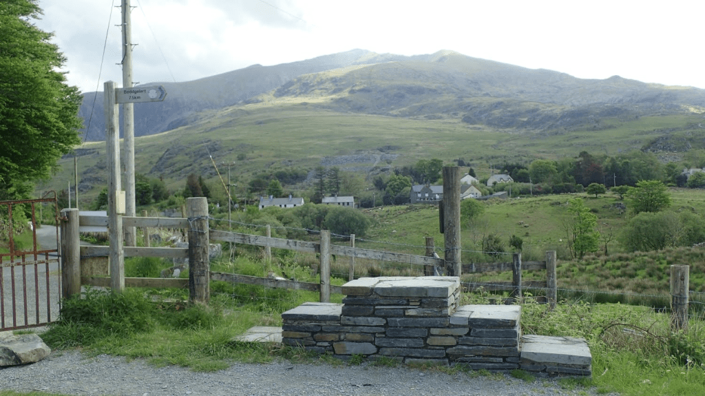
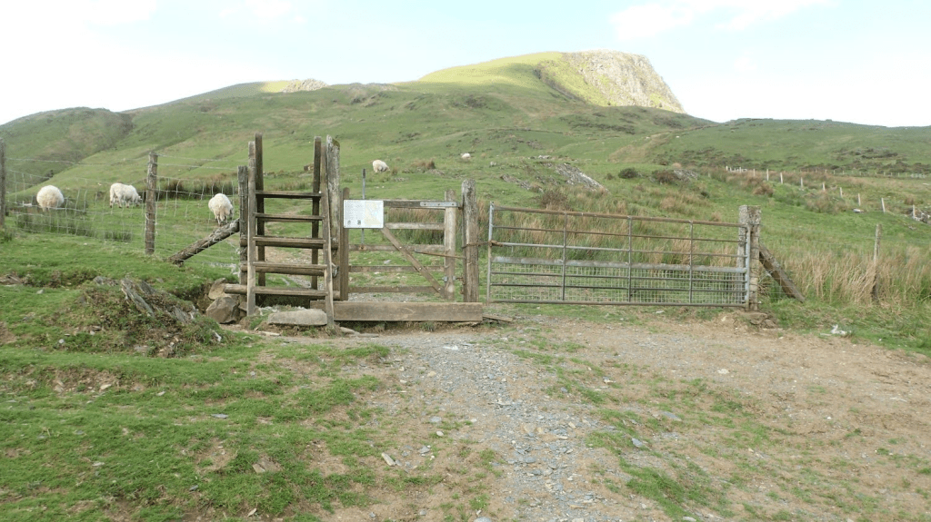
I started off at Rhyd Ddu, across the A4085 from one of main routes up and down Snowdon (Yr Wyddfa). I would join my first Public Right of Way at OS grid reference SH 566 526 – parking options for a small number of cars existing before and after this point. As always, please park with consideration and don’t leave any litter behind.
Initially following the bridleway in a south-westward direction, I could see the first ascent ahead of me. This would be Y Garn, the first of several summits along the Nantlle Ridge. This is not to be confused with a more popular and almost-honeypot ‘Y Garn’ above the Ogwen Valley.
It was anything but an easy ascent – as with the beginning of any ridge walk; you have to first get up there! I paused frequently along the way, as the gradient seemed to increase and the lakes beneath me reduced in size.
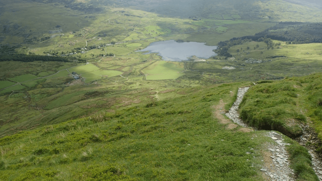
From that initial bridleway, there’s a point at which you cross a boundary in to Open Access Land. There’s no official ‘Right of Way’ from here on but, many walkers have forged the way ahead and created a line to follow.
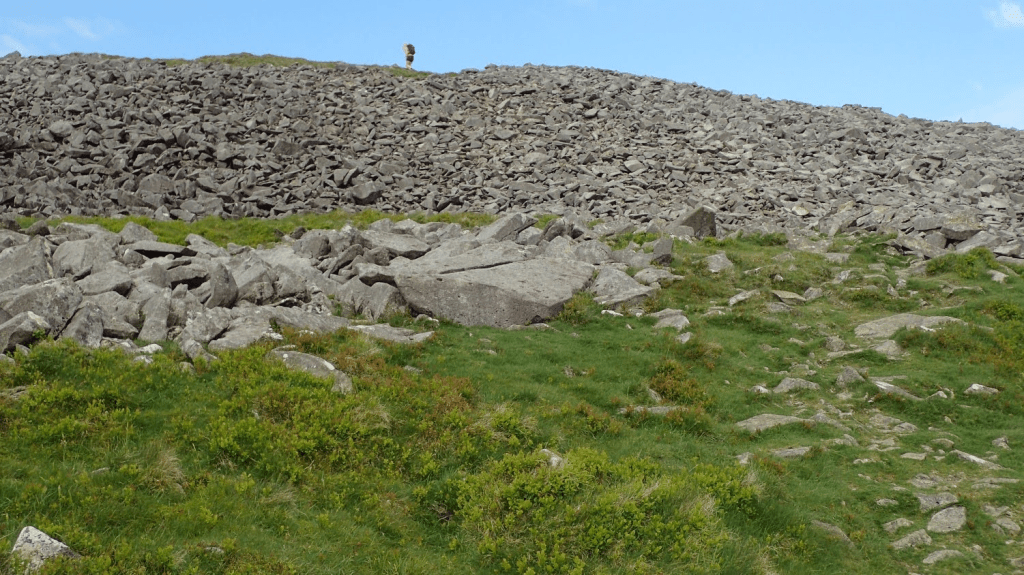
It might’ve taken me an hour to reach the top of Y Garn – I can’t quite remember now. Either way, it was always going to be an opportunity for me to pause and have a cup of tea. Having made my way up on to the ridge, it was only going to level out from now on… Right? I met a Welsh couple (North Walians; none of that “Cardiff English”) on Y Garn. They’d smartly parked one car at each end of the ridge – their finish point being in Nebo. It would be a great way to experience such a walk however, public transport doesn’t otherwise serve the idea and you’d have to pay over the odds for a taxi (y tacsi).
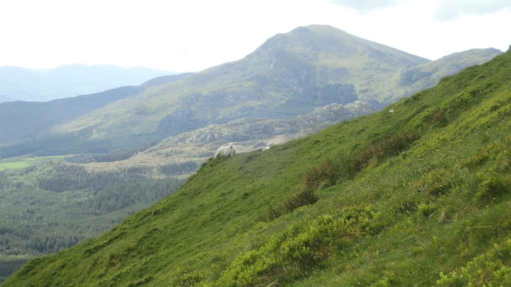
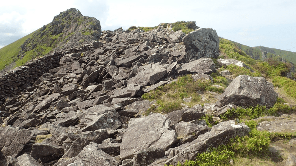
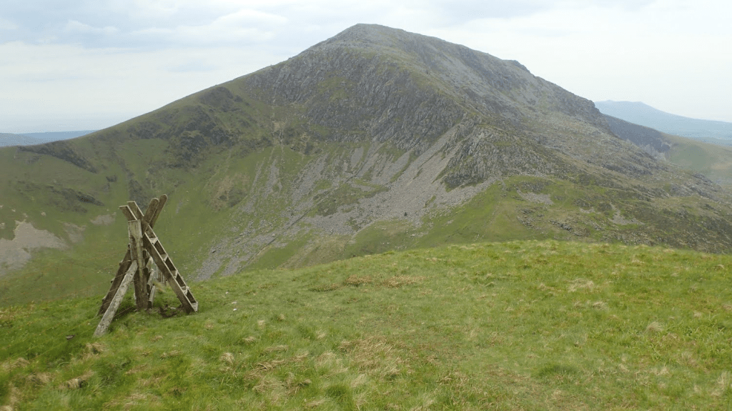
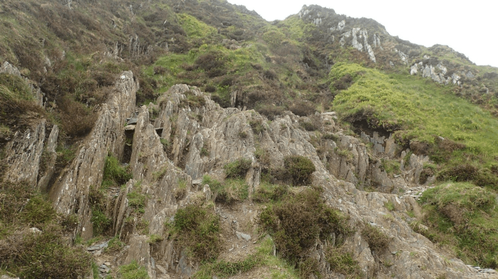
Feeling somewhat refreshed but mostly wanting to get stuck in to this ridge walk, I continued on towards Mynydd Drws y Coed. Perhaps the highlight of this particular route, with a low grade of scrambling required in parts and the enjoyable of challenge of looking ahead for the next series of rocks to clamber.
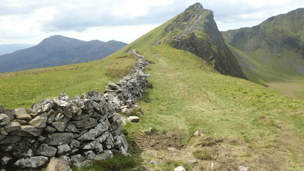
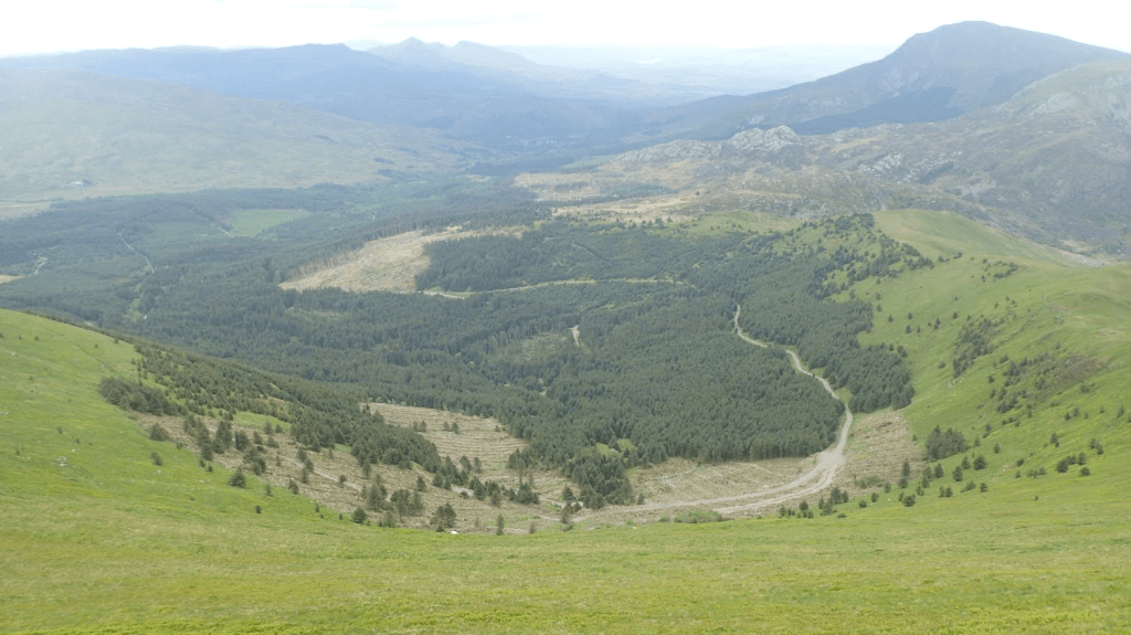
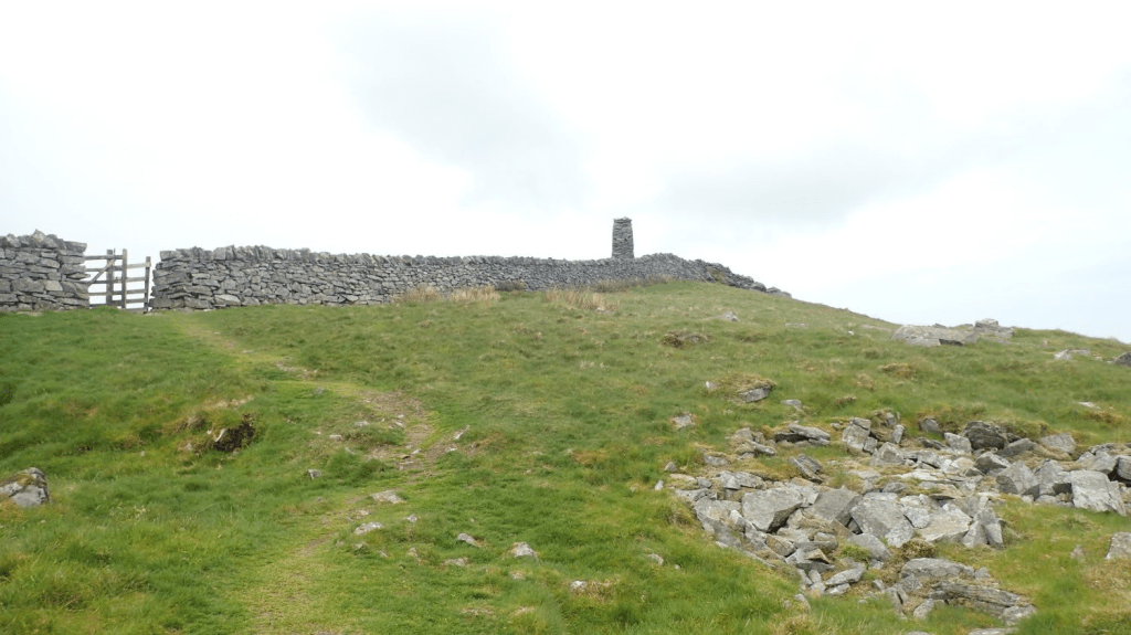
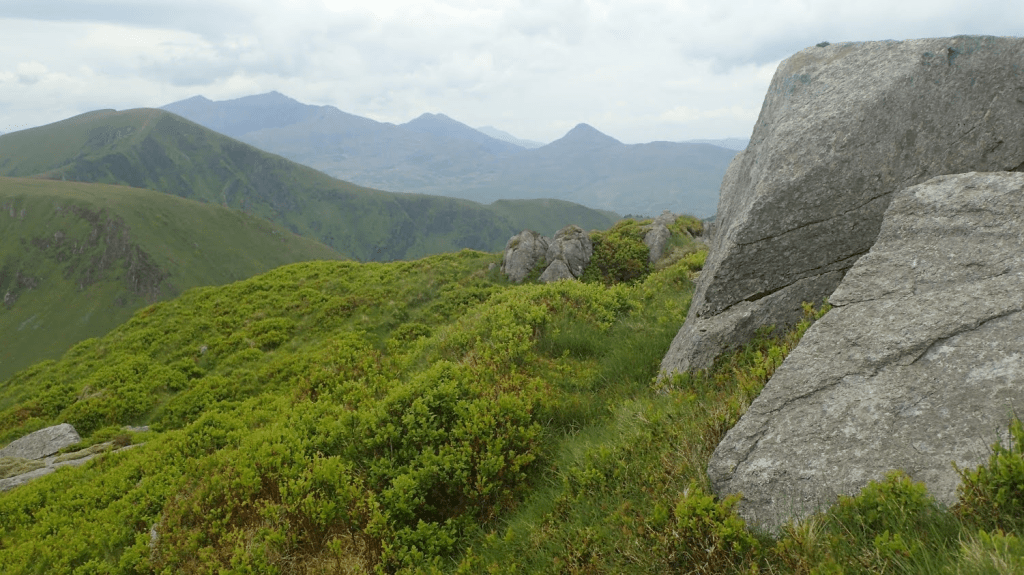
Beyond here, you’ll soon see an obelisk standing tall on a summit to the west. This is Mynydd Tal y Mignedd and my next destination. It’s worth mentioning here that there’s an alternative path heading south, along a lesser spine from this ridge and down towards the north-west corner of Beddgelert Forest. Worth keeping in mind… And hopefully you’ll understand why much further on!
There’s a slight descent in to a pass, before you head up towards the obelisk. Negotiating this, I gave way to a young girl (for context, I’m now in my forties…) wearing a skirt. I only remember this as I’m used to seeing people in shorts but a skirt… Well, at least it wasn’t jeans and Doc Martin’s! It was also a sunny and not to windy day. We didn’t speak but she appeared to be walking the ridge (or a section of it) in the opposite direction.
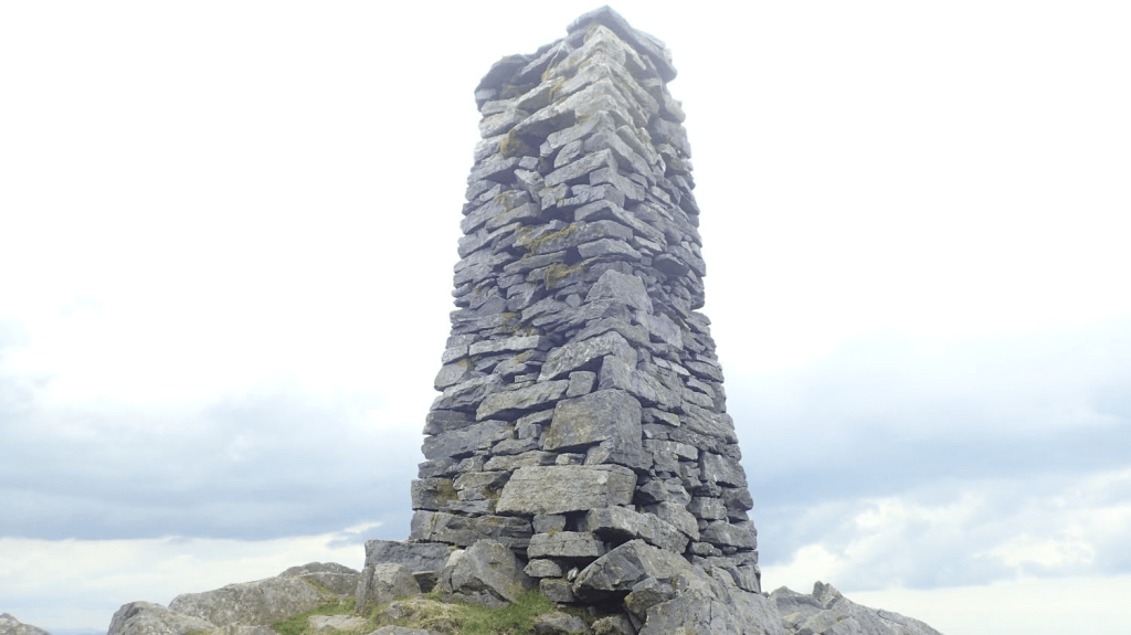
I didn’t know anything of the history of purpose of this obelisk – which does resemble an inflated trig point. But it was to commemorate the diamond Jubilee of Queen Victoria. I met the Welsh couple again, as they marched on towards Nebo and I took the time out for my lunch.
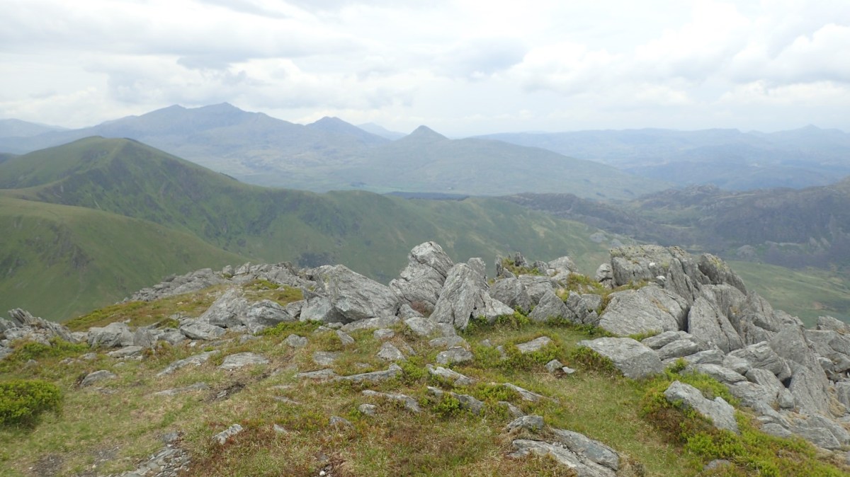
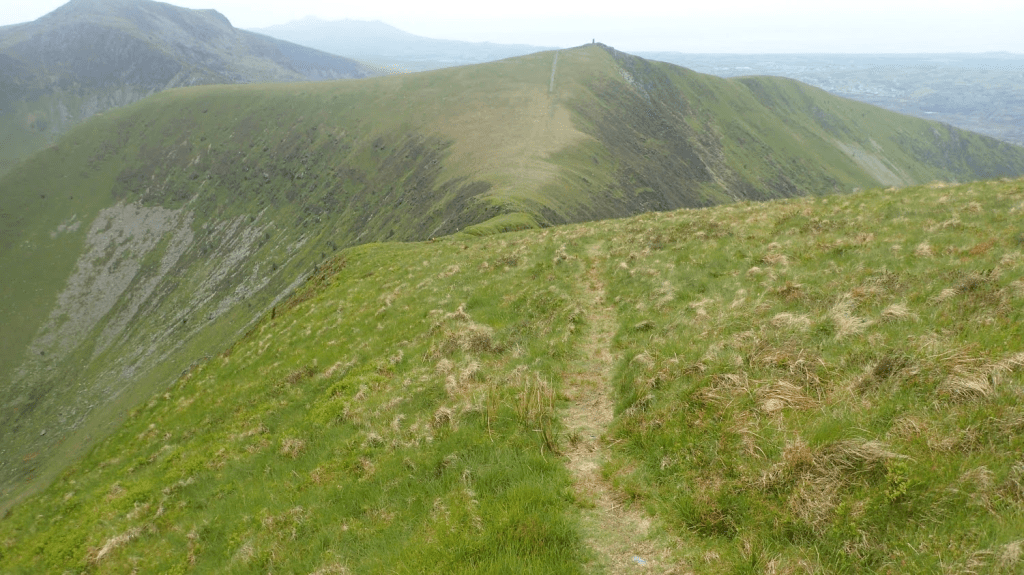
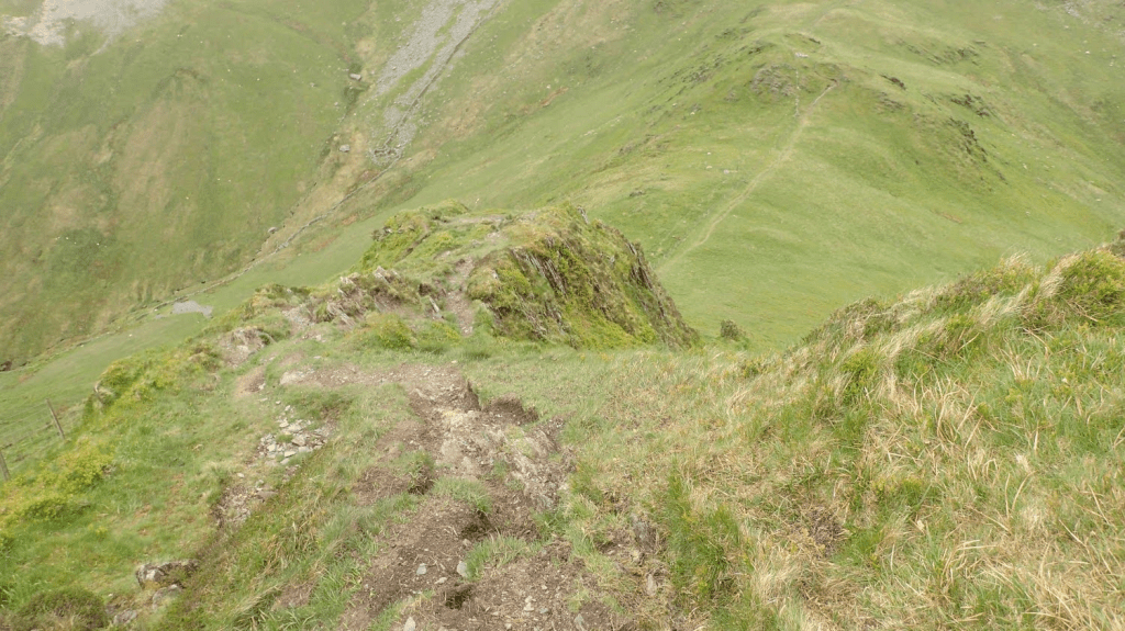
From the obelisk, I begin a descent to Bwlch Dros-bern, handrailing alongside a boundary line for navigation. From this pass, I could look up towards the brow of the ridge and again, that couple were some way ahead.

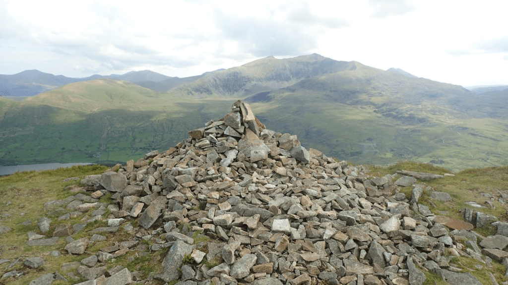
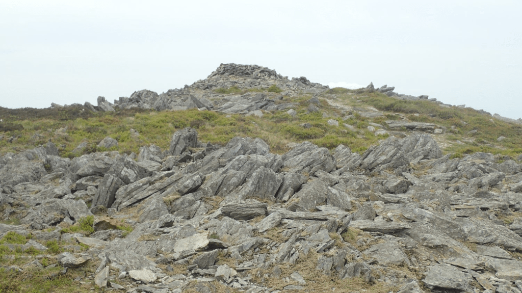
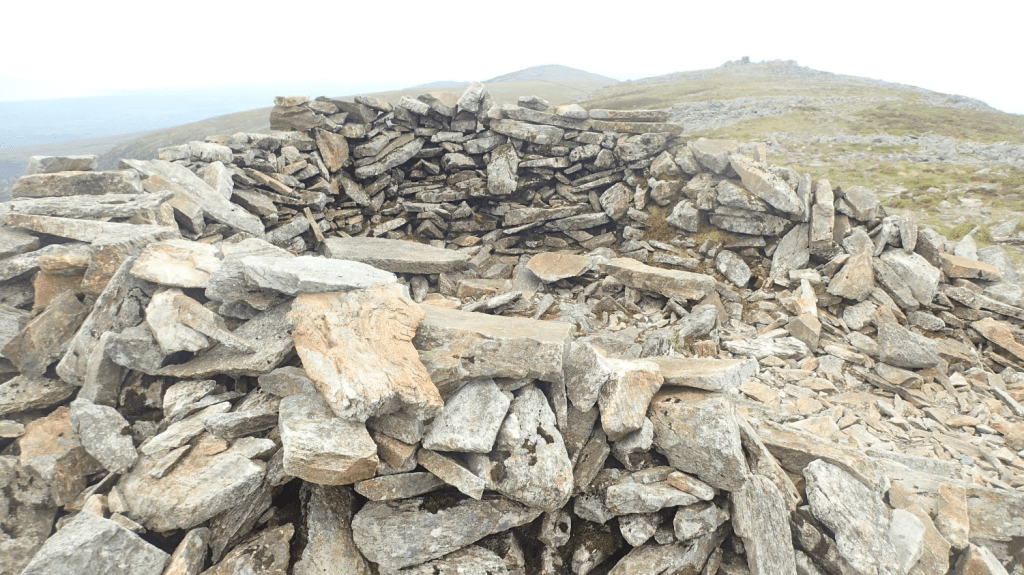
Initially, the pathway was much narrower than before. Vegetation on either side, with the occasional rock to watch out for. My aim was to reach a cairn [OS grid ref: SH 525 502] at the very top. Following the ascent of Y Garn earlier, this was my second-toughest challenge of the day.
To feel absolutely certain of where I was, I did have to whip out my phone, turn it on and use the haphazard GPS function to confirm I was where I needed to be. From here, I would begin a descent in to the valley of Cwm Pennant – something I’ll write about in more detail, in Part 2.
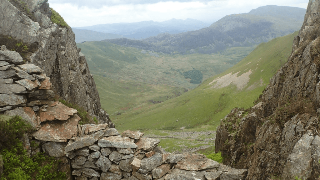
I had considered following the others a bit further and on to the summit of Carnedd-goch (red cairn?). But, not knowing the area, I’d still have to return to this cairn afterwards. It might’ve been worth it to bag the trig point – I’ll never know, unless I decided to revisit the area one day.
But what of the descent that followed and the remainder of this circular walk, away from the Nantlle Ridge? Well, you’ll have to read about that in Part 2!
Thanks for reading.
