Sunday 10th December 2017
Along with walking more of the Severn Way long-distance footpath, there’s a chance I’ll be able to complete the River Parrett Trail in 2018.
It’s only fifty-miles in length (same as the full Mendip Way) and could be completed in a short series of circular walks. From Steart in Somerset, at one end of the West Somerset Coast Path; it continues south, it follows the river south to its source, across the border and in to Devon.
I’ve already covered most of the route between Steart and Bridgwater; reluctant to travel any further south through the carnival town. I was also familiar with a few miles surrounding Burrowbridge, which is where I’d decided to return to on this day.
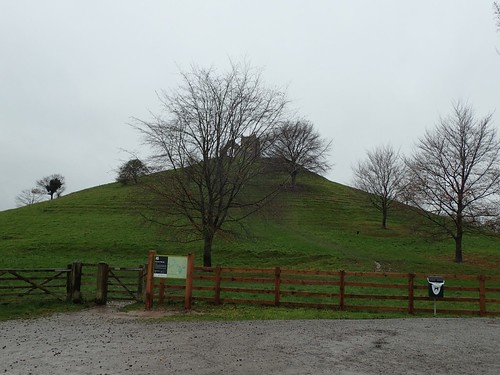
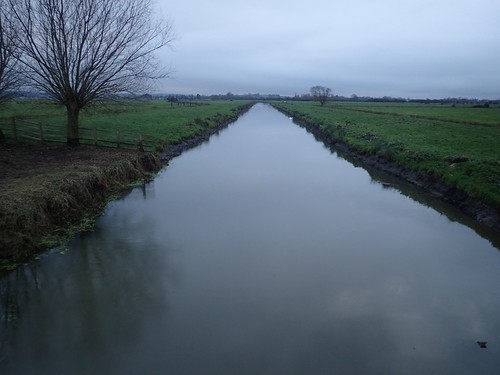
As always, I parked next to Burrow Mump, with its free-to-use National Trust car park and no-one else around. New sign and information boards had been installed since my last visit in the spring.
From the King Alfred Inn, I immediately joined the River Parrett, walking in a south-eastward direction. There are several points along here where you can branch off to follow other routes of the Parrett Trail… But, according to the LDWA’s map, the official route sticks to the riverside and not one of its subsidaries.
I was already very familiar with the initial stretch down to Stathe. In fact, I led a group walk along here, back in March or April. Away to my left, I could see the rise of Aller Hill. Previously unexplored and likely to feature in my return route to the car.

Why am I walking the River Parrett Trail and not the Cotswold Way?
Well, because I believe few people have. It’s fairly close to home, accessible and, set amongst the Somerset Levels, for the most part; it may be easier to tackle, physically.
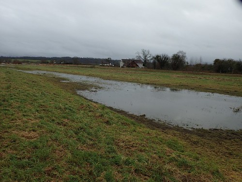
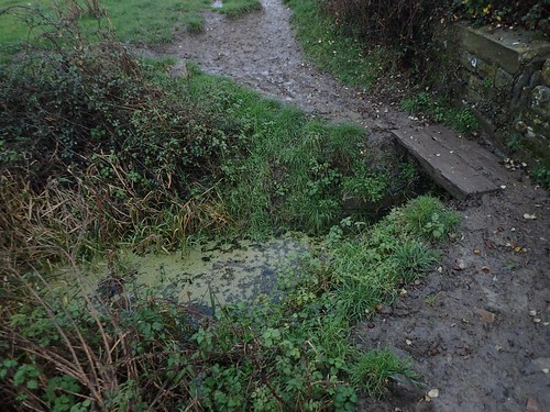
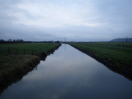
Beyond Stathe, I’d find myself walking with the Parrett on my right and Sowy River – a man-made flood-relief channel – away to my left.
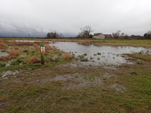
There were a couple of ponds nearby, with signs warning people not to attempt to swim in or through each body of water.
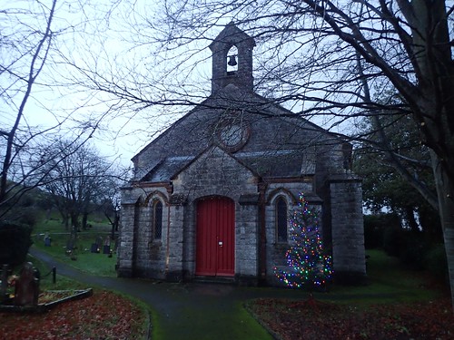
I spotted this somewhere near to Duck Cottage, I think. A certain sign that Christmas had arrived in Somerset! Even the landowners were feeling festive.
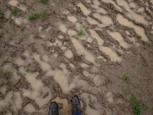
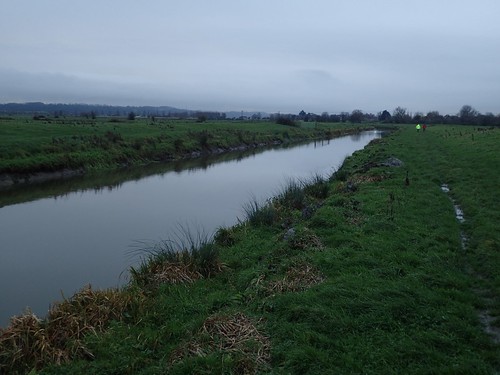
Along with the constant threat of rain, MUD was a definite theme of this walk. One of those situtations where you’re watching every footstep, conscious of slipping over and generally speaking, the experience can feel drawn out.
But, this is typically why waterproofs and gaiters were invented!
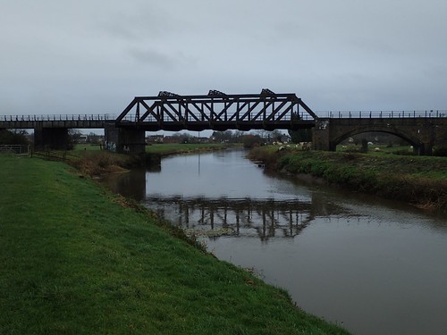
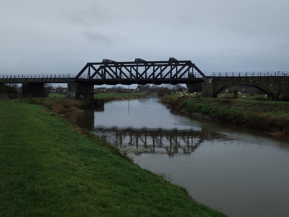
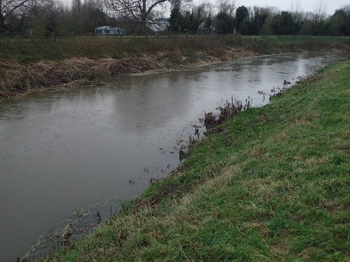
My walk along the River Parrett would come to an end at this bridge just north of Langport; a crossing point for the railway that appears to run between Frome, Taunton and beyond.
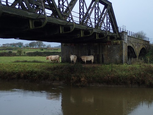
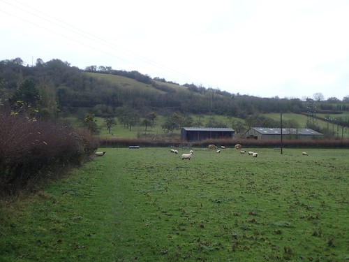
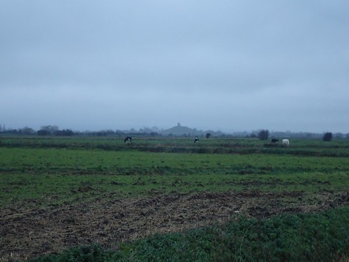
Even the cows on the far side weren’t sure about being exposed to the elements all day. I don’t recall it being windy but, I did recently read that scientists have been studying herds of cows around the world to conclude that they settle in a position that aligns with the magnetic north and south of the poles and never east or west.
I met a dog walker from Langport beneath this bridge. So far, the only other person I had seen outdoors. He made reference to how ‘wet’ this day was.
From here, I would head northward and on to the village of Combe.

Via a series of Clyse crossings on the moor, I would find my way, with Poolemead Rhyne as my guide for most of the way.
Some of these “bridges” looked to be quite old. Especially the stone one, which almost resembled a a clapper bridge, I thought. One slip and you’d be in for a dip… Possibly up to your shouldlers. Who knows!
Aller Hill and its south-eastern end lay ahead of me. Despite being well under 100m high, it looked like a challenge, to me.
I would climb steeply uphill to reach the point at which I would cross the A372. A set of steps on the other side indicate my way forward.
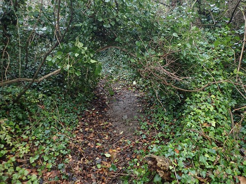
As if the gradient didn’t present enough of a challenge, I had to stoop my way beneath a series of low-hanging branches on the way up. Goodness only knows, how overgrown this path could be in the summer.
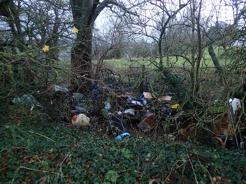
On my left, the painfully familiar site of flytipping in a quiet area of beauty. This may well belong to the landowner, sadly. In many ways, that’s morally worse than having someone else litter here.
At the top, I’d reach Bowdens Lane and head west, very briefly.
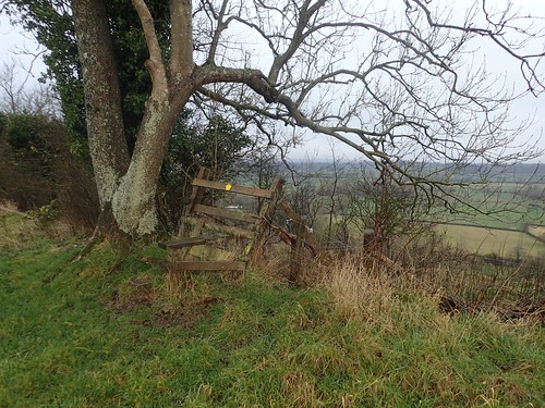
I’d very soon pick up and follow a public right of way that follows an even contour around Aller Hill. This stille wasn’t nearly as unstable as it may appear.
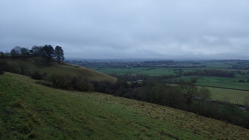
Opening out on to the hillside, there are already good views from here, looking south-west, in the direction of three villages with Curry in their names.
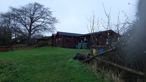
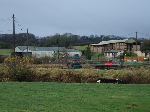
I remember passing along the edge of this caravan park. Decked our for Christmas; I imagine they must be open all year round.
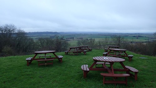
Benches are available, here, with notices on the top. I imagine the sign is there to deter people like me (non-caravan park residents) from using the seats at our leisure.
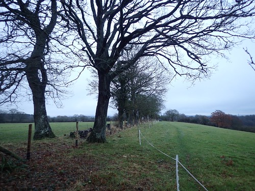
As I continued around the hillside, most of the right of way was conveinently ‘fenced in’, so that I couldn’t wander off course. I had barely needed to study my map on this outing.

I would descend the hill from Wood Lane, where I’d read about footpath closures in Breech Hill to the north. This would lead me through the village of Aller and on to the long and narrow roads.
Towards the other end of Aller Drove, I’d notice a pair of cars slow down and park up at the road’s edge… They were clearly wating and looking out for something. Was another bird migration due?
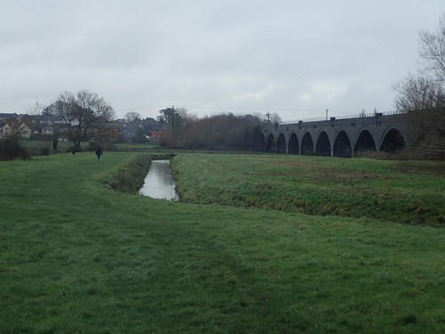
It was a bit of a trek but I could soon see the iconic form of Burrow Mump (not Glastonbury Tor!).
I met some younger people (around my age) at Pathe Bridge; a roadway over the Wookey Rhyne. I’d intended to walk up to the road junction and then turn left to follow the designated right of way.
…This was when I saw a couple of locals with their dog; walking beside the Wookey Rhyne, following its wesern bank in a southward direction… According to my map, there is no public right of way here. But, the gates where unlocked, ‘they did it first’ and I felt drawn to this great berth of water.
There’s also a bit of a path along this way, even though there is no waymarking for it, whatsoever.
I would now rejoin the River Parrett Trail for the return to my car.
I don’t remember this day as being fraught with heavy rain or sub-zero temperatures. But I did enjoy my time and hope to continue walking south along this trail in the near future.

Thanks for the great informative post and pictures!
LikeLiked by 1 person
Hello Jan,
Thank you for reading. I hope you get a chance to walk in the area for yourself.
All the best.
LikeLike