
Sunday 19th June 2022
As the fierce Scottish weather had begun to settle down a tiny bit, we drove down the road to Newtonmore and for what would be a first taste of the Munros for many of us.

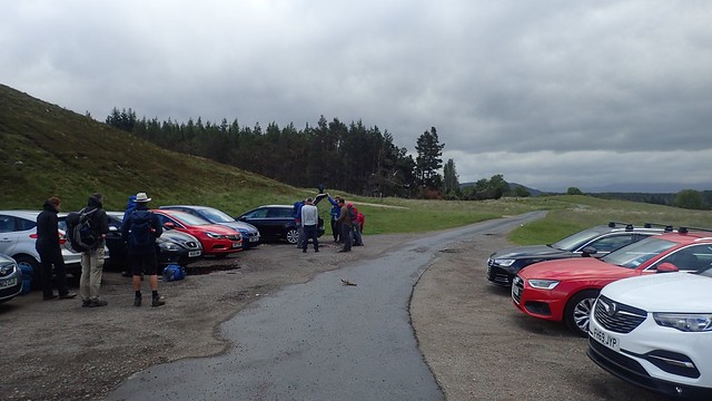
There’s a free car park to the west of the town, up at grid reference NN 692 997. Had we taken the train down from Aviemore as originally planned, we’d have had to walk a couple of extra miles in each direction in order reach this point!
There was no a suggestion of the sun peaking through the cloud on this day. Most of us were sensible enough to adopt the long sleeves early on. I think I even put the raincover over my backpack, just in case.

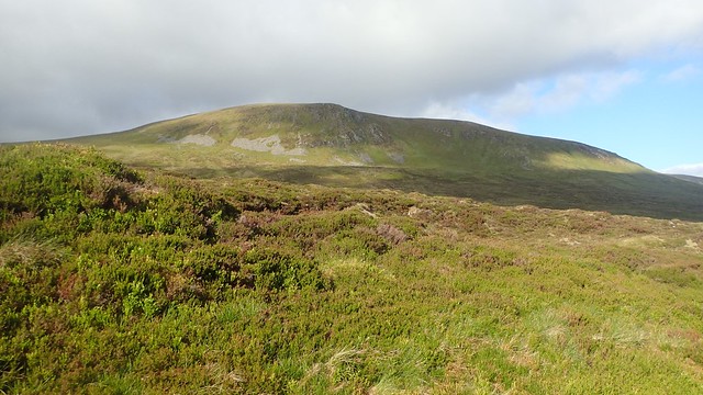
Our walk began heading north, along the valley floor and beside the Allt a’ Chaorainn river.


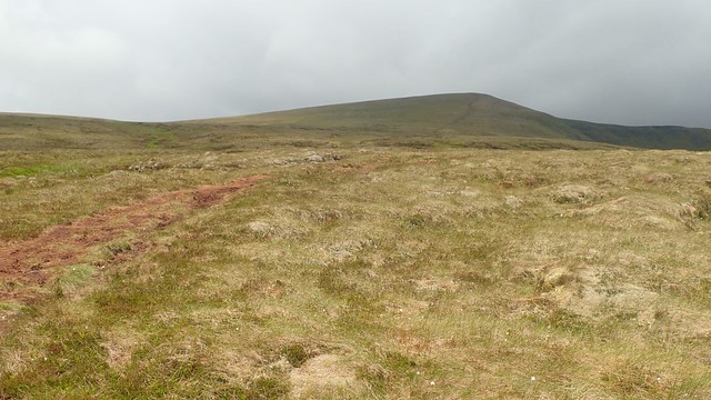
We’d cross the river and soon find ourselves heading steeply uphill towards the summit of our first Munro, which is further right of the frame of the photo above. That bothy or shelter would’ve made an ideal rest stop in more severe weather.

‘Be bold, start cold’ is a well-known saying amongst hillwalkers. But the wind around here was fierce, if not life-threatening. Most of us had layered up with an outer shell before this long climb.
Such is June in Scotland!


We made it to the top of A’ Chailleach and at 930m above sea level. It wasn’t a place to linger for long, as those gusts continued.

That distant speck of snow sits beneath what would be the final summit of our day. Not that I was aware of this at the time.

While we’d felt like we’d already completed the hardest climb of the day, we would now have to lose height and cross a steep-sided valley before the next summit.


I’ll say again that there are few recorded footpaths on Scottish OS Maps, as opposed to those covering England and Wales. For much of this adventure, we were creating our own tracks.
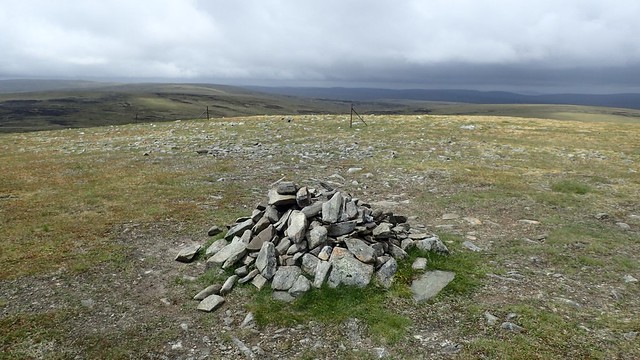
Unless I’m mistaken, this tiny cairn marks the summit of Carn Sgulain. At 920m above sea level and with the nearby fence outlining the boundary of the Cairngorms National Park.


We’d then follow this wireless fence as a guide, heading west across several summits and towards our final Munro on this day. This made for simple navigation.


Meall a’ Bhothain (911m) and Meall na Creughaich (906m) were included, before Carn Ballach (920m).

We’d stopped for another break on this land, while the wind was whipping at our bodies. Many of us had masked our faces with Buffs and neckwarmers. It wasn’t quite strong enough to blow us over but this would’ve been very dangerous, had we come twenty-four hours earlier.

Our final ascent was not an easy one, as we headed up towards Carn Dearg.


This cairn marks the highest point of Carn Dearg, at 945m above sea level.


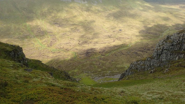
Next, we would need to descend. Deep in to the valley beneath us.
Tiredness was setting in for many of us. Not only from the challenge of the walk and its terrain but also, the constant berating from the wind.

There was some debate about the way onward. Again, no obvious path to follow. Yet the guidebook was adamant there was be an easy path to follow beside the Allt Ballach river…

We found our way down to this footbridge, as the sun broke out in what was now the evening. A sense of civilisation, perhaps.

We crossed fields walking east and parallel to the River Calder. There are said to be bothies close to here or, at least one. Soon, we were back at the cars and very grateful we didn’t have to walk on to the train station I Newtonmore!

If you’d like to see the route we followed, please follow this link. We did everything hear but in reverse.
Thanks for reading.

Nice one Olly, I bet that was a tiring but enjoyable event.
LikeLike