Saturday 20th May 2017
Sand Bay and Sand Point are areas I’ll visit and explore every few months. I can drive there in less than thirty-minutes and, while they’re both within close proximity of Weston-super-Mud, you can guarantee these spaces will never be quite as busy – even on a busy day.

Most of my walks have started from the same two car parks. But I was intrigued enough to try a different route published in the first of three Walk West eBooks.
You can find this for yourselves as:
‘Walk 16 – North Somerset; Kewstoke & Woodspring Priory’
I parked at the side of Worlebury Hill Road, right outside the entrance to Weston Woods. Dog walkers park here frequently while some a brave enough to venture on to the pothole-riddled spaces beneath the trees.
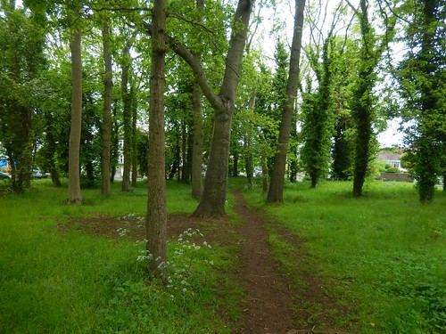
I walked down Worlebury Park Road and crossed what Geoff refers to as a ‘traffic island’ but is more like a miniature woodland, dividing this otherwise residential road. I don’t think I’d ever seen anything like it before. My walk meanders along tarmac to the top of Monk’s Steps.

This is believed to be one of the oldest pathways in the region and I had no idea something so historic might exist to close to Weston-super-Mud (if you’ll excuse the dilapidating Birnbeck Pier, of course).
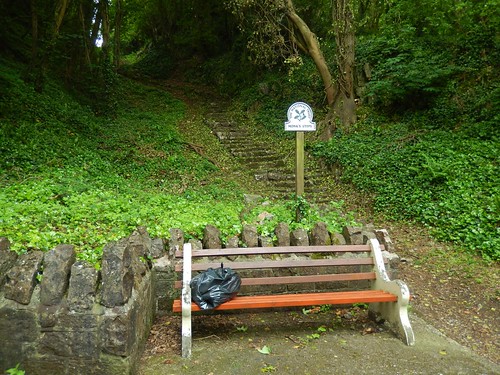
These stone steps must have been in place for an long time. They’re not even or too comfortable to descend along. At the bottom, I found a black bag resting on a nearby bench. Flytipping? Quite probably, yes. North Somerset council (probably due to ‘financial constraint’) is making it harder for people to recycle, in alignment with other local councils but, that doesn’t make such an act acceptable.
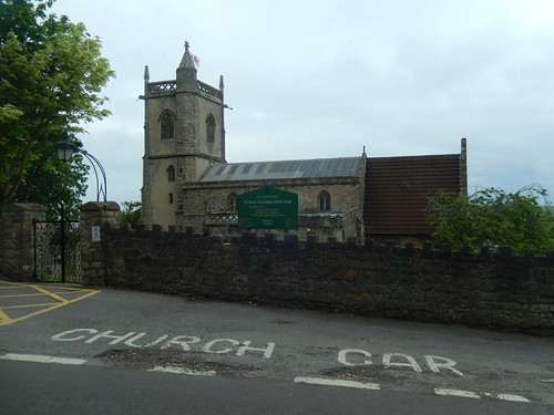
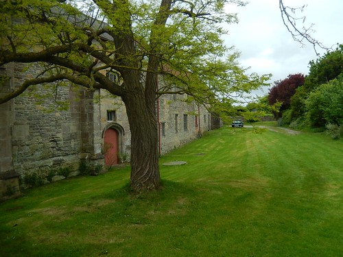
Over the next road, I’d arrive at St. Paul’s Church in Kewstoke.
But this was after descending the most perilous set of steps I’ve ever seen on a walk! While a handrail is provided, it’s a challenge going up or down.

Further down the road and towards the holiday parks near Sand Bay, I find myself skirting beside private gardens, with a less than fantastic-looking fox suspended from one fence post. A true victim of British Weather.

Looking back to Worlebury Hill and Weston Woods; walking parallel to the coastline.
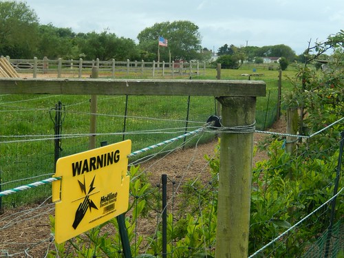
Soon enough, I reached land owned by Pontins, with the right of way cutting straight across the holiday park. I had to stomp across a small golf course (thankfully, not being use in the moment) in order to find my unsigned escape route out towards the sea.
Then, I was at the coastal road; climbing steps opposite to overlook Sand Bay.
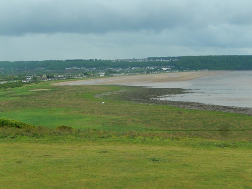
North of here, you can see Sand Point reaching out to see. While the water is no less-brown than what you’ll find on the south side of the woods, the beach tends to be slightly less busy and a haven for dog walkers, without restriction.
I would walk north along the promenade, only a few hundred metres, before turning right on to my next footpath. I did take a slight diversion to the public toilets but made an about turn when I noticed the sign asking for 20p coins (I live in a digital age and would rather go behind a tree).
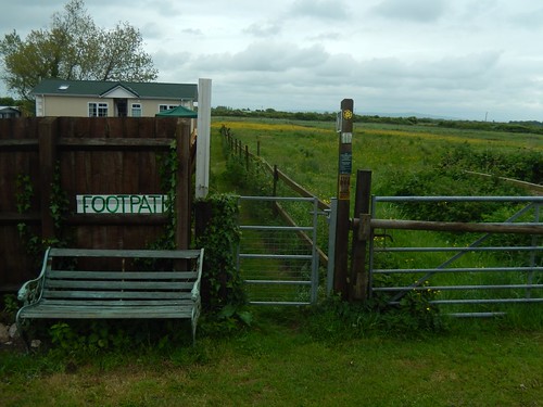
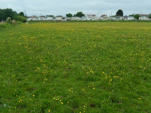
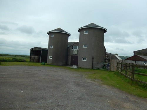
This would lead me past the silos of sand farm and the unmistakable signs for the footpath. Anna and I walked through here in reverse, two years ago now, on the inland stretch of our coastal walk, from Hewish all the way to Brean.

Eventually, I emerged on to a quiet road near Culm Farm. To the south east, I could see clouds gathering over the Mendip Hills.
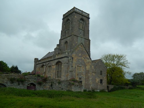
From here, I walked the quiet road north-north-west to Woodspring Priory. This route isn’t clearly marked as a ‘right of way’ on the maps.
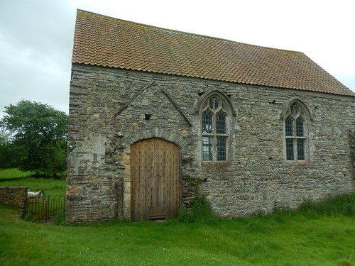
I’d not been here since 2013, on a walk with another friend. That day, we arrived here from Sand Point on a completely different route that I’ve not been able to retrace in my mind.
You’ll find that the priory does open to visitors but only during weekday afternoons and, from memory, they close at 15.00. This only seems to benefit the retired, unemployed and shift workers but there’s said to be gallery or art exhibition inside.
Maybe one day, I’ll find a convenient time to explore it for myself.
While the western end of the property is reserved for holiday lettings.
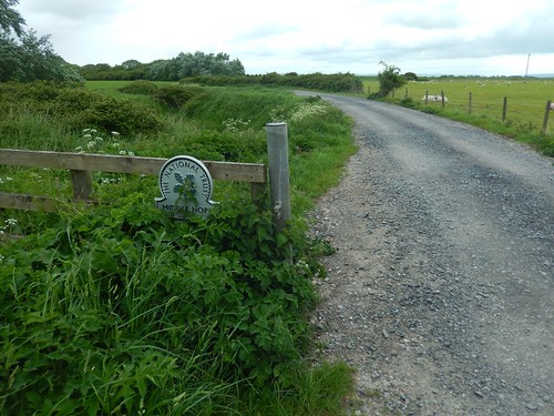
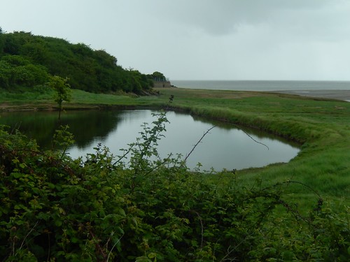
Retracing my steps to the driveway entrance, I followed a sign directing me towards a National Trust car park that I didn’t even know existed.
This space is free to use, has room for at least two-dozen cars and sits very close to Woodspring Bay. From my point of view, there’s potential, here, for a new starting point of walks around Middle Hope.
Sadly, there is still no coast path running east and north from here, alongside Kingston Seymour to arrive in Clevedon. It is so badly needed and I really hope it’s completed within the next three years, in order to achieve the England Coast Path as originally intended.
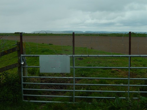
Currently, a gate with barbed wire prevents trespassers determined coastal walkers from marching on beside the sea. But if this year, they’ve managed to complete a coastal path (albeit, a cycle route that avoids Brean Down) between Weston and Brean, I’m sure there’s a plan to utilise routes to and from the local sewage works and the river crossing at Tutshill Ear.
A lot of work but, still, a necessity.
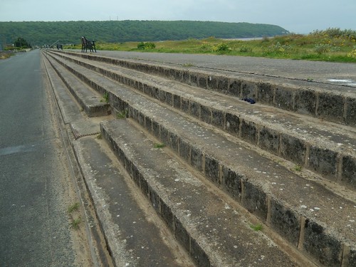
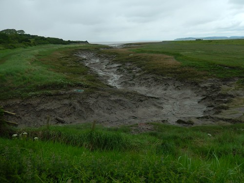
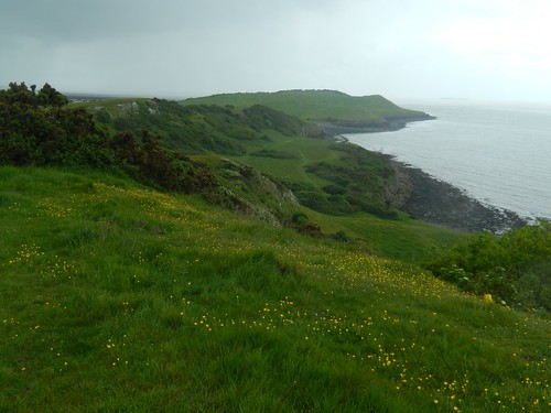
As the weather began to turn, I climbed up on to the headland along paths that you can only really find on the ground. Even a 1:25,000 scale map won’t clearly detail it for you.

I could just make out the Second Severn Crossing, as grey as my surroundings had become.
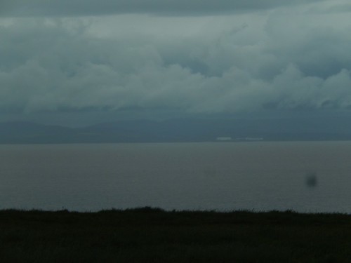
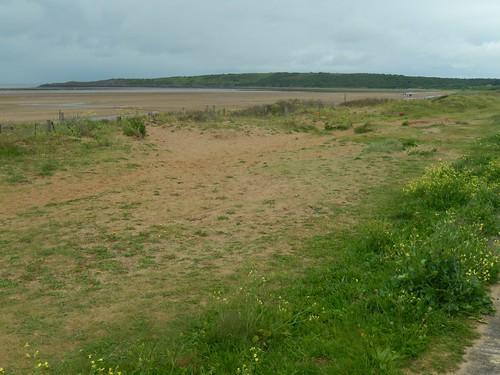
Across the estuary, South Wales was as over-run with cloud as on this side.
Weather-wise, it was horrible. My “showerproof” trousers once again, letting the water through. But even dark clouds couldn’t detract from these views.
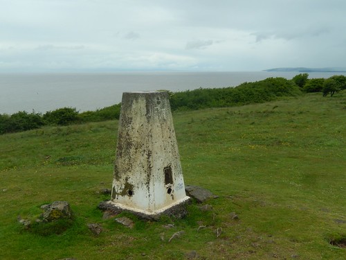
I walked for a good 1.5km before reaching the trig point, only forty-eight metres above sea level. One of the lowest in North Somerset, surely.
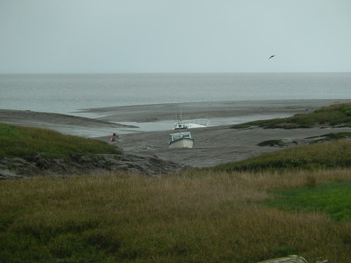
While the rain had taken a break, the wind remained relentless. Otherwise, I’d have ventured all the way to the western tip of Sand Point, as I would normally do. Gradually, I made my way down to the beach, via the Sand Point car park.
Birnbeck Pier.
There was nothing much to say of this 2km stroll along the beach. I could listen to the waves, greet the occasional dog running my way and I remember one woman who appeared to be doing laps, up and down the length of the sands (I saw her several times).

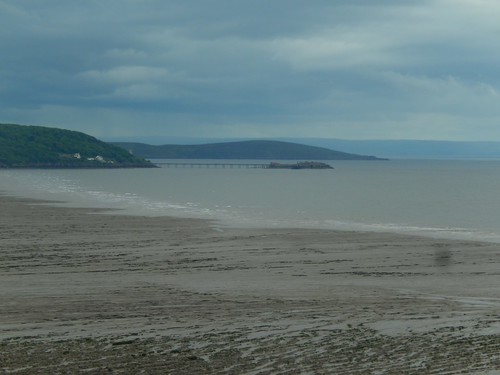
This was one of the clearest views of Flat Holm I’ve ever witnessed. You can clearly see the lighthouse. Maybe also, one of the forts.
Beyond the beach, I was faced with a steep climb up a road towards Kewstoke before climbing once more up through Weston Woods to return to my car. I could probably give those woods a miss (Geoff openly refers to them as a ‘dog toilet’) but I hope to revisit the bay, Sand Point and Middle Hope on a drier day.

Love this area. A shame that coastal route eastwards isn’t open yet. Seems straightforward enough along the sea wall.
LikeLike
It does, doesn’t it? Last I read, it was partly due to the landowner(s). But now the path from Brean to Weston is complete (albeit, less direct than the old wade through mud), they’ll find momentum to make it happen.
LikeLike