Saturday 3rd November 2018
My previous walk of making progress in my walk along the Severn Way was all the way back in April, would you believe! I’d never intended to leave it this long in between. A ‘busy’ summer played its part in that.
So far, I’ve followed the trail north from Bristol and, at the time of writing, I’m about to enter Gloucester in my next walk. Beyond that, I’m only looking to trek as far as Tewkesbury, while the Severn Way continues for another 150 miles or more.

For the first time in this series of walking the trail, I felt resigned to using a pay-and-display car park as there were very few other options available locally.
I parked up at Saul Junction along the Gloucester and Sharpness Canal and just metres away from the Cotswold Canals Trust Visitor Centre. I paid £5(!) for the privilege and an eight-hour stay… But I could paid a pound less for six hours and arrived back in time, as I would later discover.
As I’m not one to carry cash or coins on my, I paid for parking using the PayByPhone app, which I also download while sat in my car. Very handy, those smartphones! Alternatively, you can phone a number and pay by card.
I actually walked through this area towards the end of my previous walk along the Severn Way, as I was on the return to my car in Frampton-on-Severn.
Retracing my steps from then, I walked north-westwards from the canal and bridge junction; following the Thames and Severn Way out to Upper Framilode and the river I would follow.
Continuing north-east and with the Severn out of sight, I followed the trail along the road.
It felt like a very long mile, with no pavement or safe means of passing alongside the speeding but infrequent traffic. A downside, perhaps but still preferable to the likes of Avonmouth near Bristol!
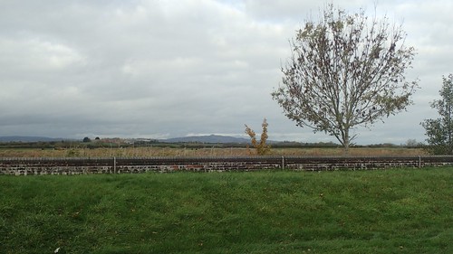
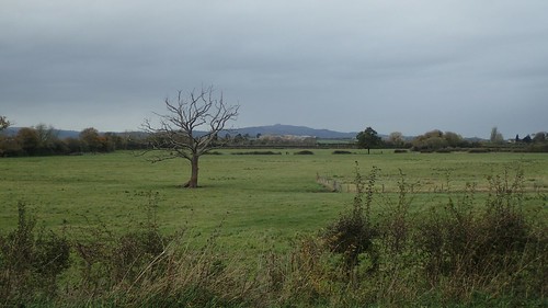
Away to the north-west, I could see the iconic May Hill in Herefordshire, with its iconic tump of trees. I know this won’t be my last glimpse of it on my long walk to Tewkesbury. I hope to climb it independently as well, one day.

Approaching the village of Epney, my road walk would soon come to an end, as the River Severn finally came in to view.

My first indication of the trail was a fingerpost beside The Anchor Inn, where the Way cuts straight across the pub garden. Progress!

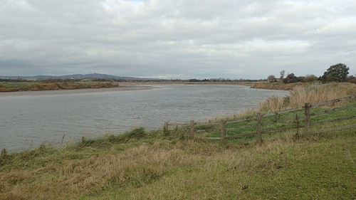
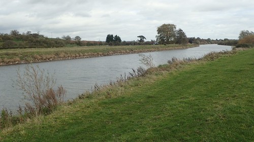
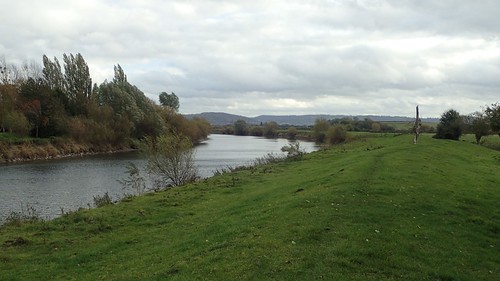
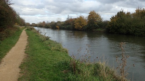
As I continue my walk further north, the Severn resembles more of a river and less of the estuary that I know well, close to home.
Bypassing the village of Longney, I follow the raised bank close to the river.
To my right, there was open farmland. Barely a glimmer of concrete beyond. I couldn’t even hear the M5 motorway.
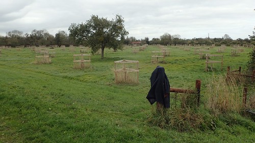
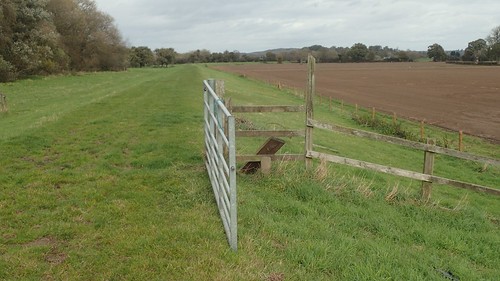
I passed one dog walker on this stretch, having seen no-one other than cyclists so far. She told me she had deliberately left her coat on a fence post as she was too warm… It’s almost as if she knew I was going to take this photo!
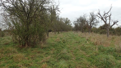
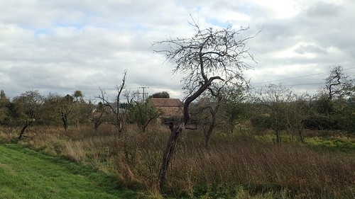
I lost sight of the river again, as the right of way continued through an orchard. There’s a public right of way running parallel to the Severn Way but several metres further inland. Anyone walking without a map could easily find themselves following the ‘wrong’ path.

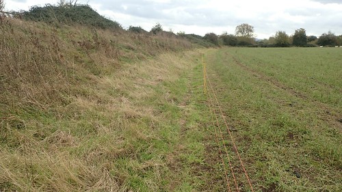
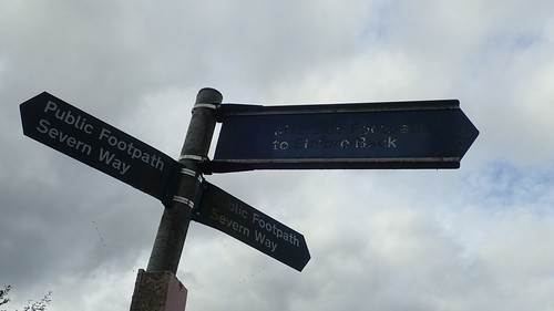
I spotted what was my first waymark specific to the Severn Way… Although the markings were very well worn. While the yellow arrows were quite frequent, I found it quite sad that more hadn’t been done to sustain this trail, which is more than two-hundred miles long.
From Bristol up until this point, I’ve seen a lot better.
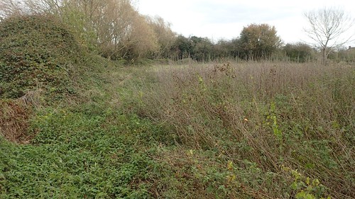
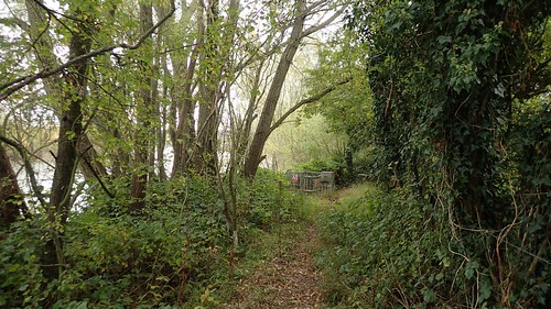
I remember using the GPS on my phone (and the OS Maps app) to ensure I followed the way through here as accurately as possible… I could’ve easily followed a “path” around this overgrowth and would eventually reach a stile that was too overgrown to pass.
This unexpected ‘detour’ from the undergrowth seemed to work in my favour. Yellow waymarks were present and the path was clear, while this signed route was clearly several metres off of the detail on the map.

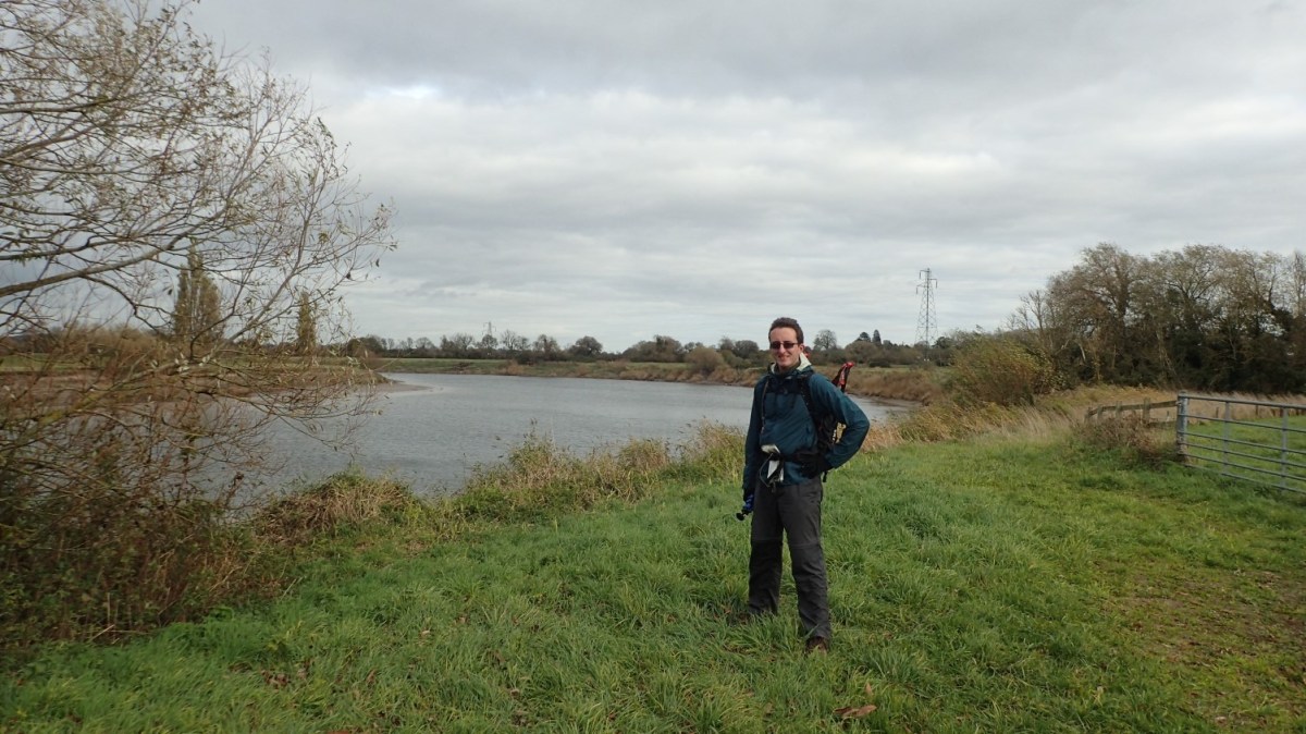
Coming out at the other end, I posed for my only photo of the day (if you exclude all the filming for my latest YouTube video). But for the strong wind, this was nothing more than an autumnal Saturday and, for the most part, a dry one.
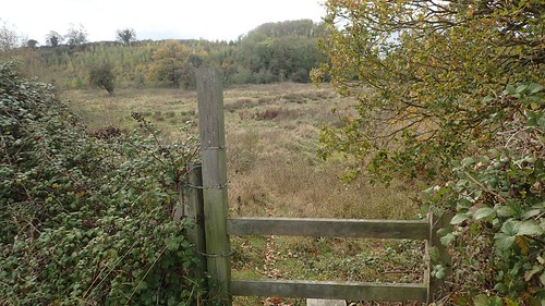
A number of stiles along this stretch were in need of some attention. This one above was certainly one of the worst examples, even though a number of gates were either left open or not chained.
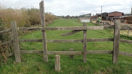
If this path was a National Trail, it goes without saying that things would be better.
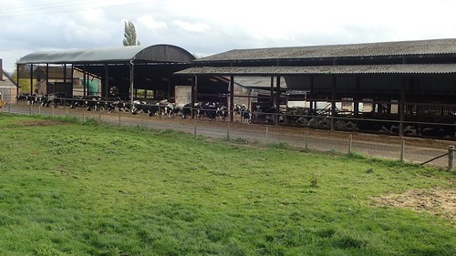
I was quite pleased to find the cattle had been shut away for winter at this next farm while, in many other walks I’ve done recently, they’re still out grazing. I usually find that October is the time at which they begin to head indoors (a universal sense of relief for us walkers) but I wonder whether the long summer or raised temperatures have altered the mindset of many farmers.
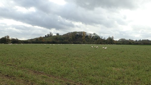
Ahead of my walk in to the greater distance, I could see the outline of the Cotswold Hills. I was probably looking at something between Painswick and Haresfield Beacon…
I have an indefinite plan to walk the Cotswold Way next year, even though I’ve probably done half of it through day walks over the years. My plan would be to backpack it. If not through five or six consecutive days (I may save that time for the South Downs Way) then I may look to complete it over two long weekends.
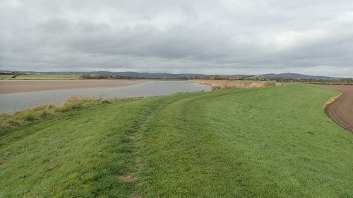
Back to the Severn Way and I was following the river eastwards across the parish of Elmore and soon to arrive at the point of which I’d leave the trail for this day.
Standing at 35m above sea level, that’s Windmill Hill you can see, above. Strictly private land, although a trig point sits on top, for those of an adventurous nature.
Where the Severn now bends towards the south, I found myself leaving the faithful bank and following the guide of my map to the right of a building, over a stile, down along a rough path and along the edge of a field.
Once again, I lost sight of the Severn.
Climbing back up further on, I reckon I could’ve followed the bank through the open gates. I just don’t think it was the legal right of way.
Back to the river bank and I met confusion in the form of a stile on my right…
There was no suggestion of alternative path or right-turn on my map. I even double checked this on OS Maps and, in spite of a lack of waymarking, I hopped over initially, to another path crossing rough ground…
Moments later, I’d retreat and return to the bank.

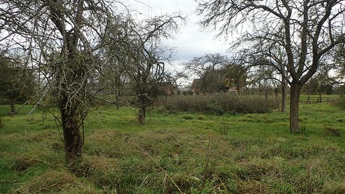
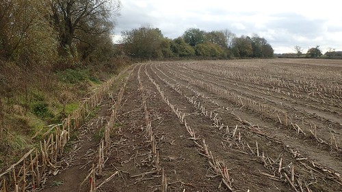
Another stile (waymarked, this time) led me through this next patch of ground (above) with the river bank beyond a hedge to my left…
It made perfect sense, until I came to a dead-end and popped precariously in to the adjacent field (definitely trespassing)… From there, I was able to climb a larger gate and get myself back on track. I really don’t know how I went wrong as there was no other option available.
Perhaps these unmarked stiles were remnants of a former right of way?
Skirting the edge of Elmore, my reunion with the riverside was short-lived as I soon found the path leading me along the edge of another field with all views of the water obscured.
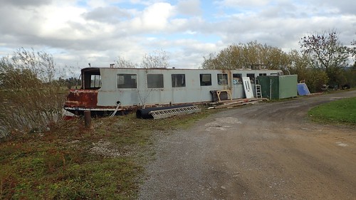
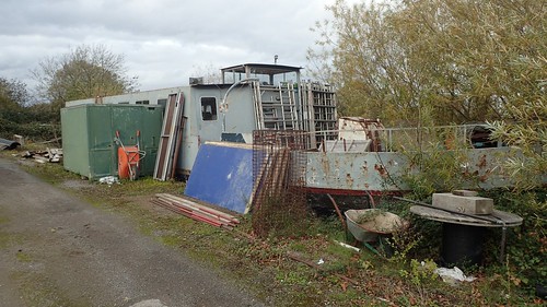
Ahead of a road junction at Stonebench, this path crosses what appears to be private land, with a small collection of barges sat across from the more traditional brick-built housing.
While the first vessel looked as though it was almost being used as a builder’s garage, I wondered whether someone was living in the blue boat, with its recycling bins and a car outside… Or, perhaps it’s reserved for private events? There was a ‘private’ sign on one of the windows and electric gates present upon entering the site.
As I crossed the road outside, I would leave the Severn Way for this time and continue across three fields in the direction of Quedgeley.

My walk across the third field lead me to a dead-end at the hedge – I even confirmed this using GPS. But following another path (black dashes, not green) and I soon found myself beside the Gloucester and Sharpness Canal.
I’d placed my faith in the possibility of finding a path alongside the canal, as no right of way (green dashes) exists on the OS Map… I was faithful that this wouldn’t lead me to a dead-end, as it would appear. Google Maps was also helpful, as I could identify some form of towpath from the satellite images!
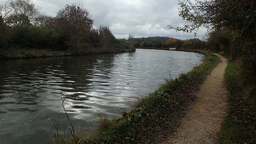
This was it for the final four-to-five miles of my day; walking with the unmistakable canal to my left. This discovery means that you can almost certainly walk (or cycle) the full length of the canal between Gloucester and Sharpness.
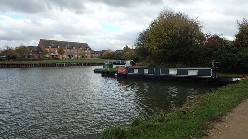
I passed a small number of people, with Quedgeley away to my left. Some of whom appeared to be living in their narrowboats. I wonder what that’s really like? Most seems quite happy and very content.
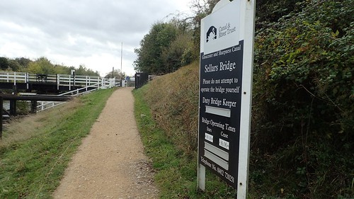
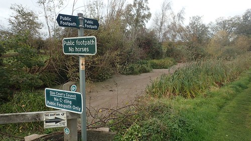
It’s only after crossing the road at Sellars Bridge that you join a public right of way. Continuing south, it’s marked on the OS Map as a footpath only. But it’s actually a route open to cyclists as well.
I wouldn’t normally set out to walk a long stretch of any canal path. Not only do I find them boring after about half-an-hour but I would usually expect to find myself giving way to cyclists too frequently.
Well, this route wasn’t as busy with bikes as other paths I’ve followed.

Lunch time was lingering. I was caught in two minds; whether to squat to one side of the path and sit cross-legged or press-on in hope of finding a bench…
My perseverance paid off as I found a very convenient seat, barely visible in the photo above.


After a relaxed lunch, even with the canal somehow funnelling the cold wind north towards Gloucester, I knew that I’d probably be back at the car within an hour. A stretch of towpath walking that seemed bearable!
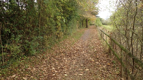
West of Hardwicke, the towpath takes an unexpected diversion to the ‘wrong’ side of a hedge. Momentarily, before returning to the water’s edge. It was worth it for the autumn colour.
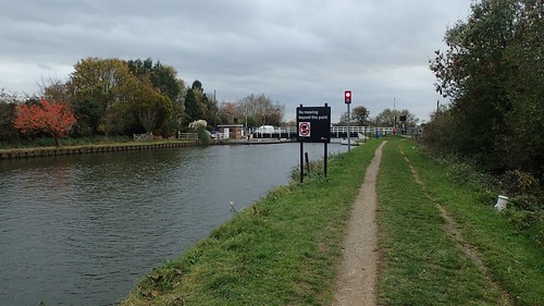
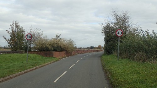
One final road crossing at Parkend Bridge and I was on the home stretch to my car.
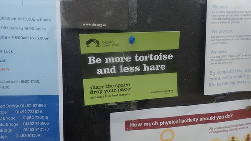
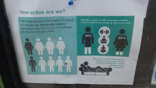
Some interesting and potentially shocking statistics exist on the nearby notice board.
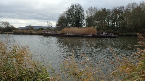
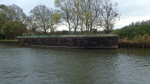
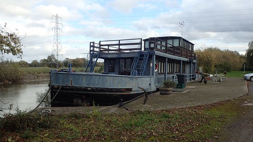
Not for the first time in my journey along the Severn Way, I passed another pair of abandoned barges. I hope there will be more to discover as I continue north.
One last look towards May Hill. I’m sure I already have a route in mind. Perhaps I can make it happen before 2019?

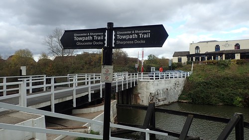
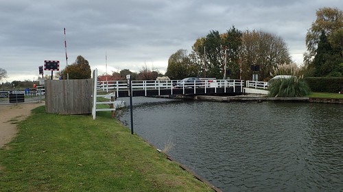
I returned to my start point just as the lock gate was opening and there appeared to be some problem getting this boat through (I think it was down to driver error… They had to back up and then retry from a better angle).

I wouldn’t hang around for too long, once I’d finished the last of the tea in my flask. It would take me an hour to get home and I wanted to complete that before night began to fall.
An enjoyable day, no doubt. I walked a good 14.5 miles in all and I’m pleased to have ticked off another section of the Severn Way. As I mentioned much earlier; my next walk in the series will negotiate Gloucester, the occasional A-road and probably the historic docks that I know quite well.
