Sunday 31st May 2020
My final walk in May was again set in Somerset. But where I have favoured higher ground for previous weeks, this time, I would head down to and across the Somerset Levels, following a guide Robin Tetlow, author of the excellent boot Beyond Bristol 2.
I left home early and with the intention of starting early. It would take me just over half an hour to get to Wedmore from Weston-super-Mare and I was very keen to beat the hordes of “Lockdown Walkers” who’d infested the Mendip Hills AONB over the previous weekend.

I was winning on that front. Just three other cars upon my arrival to this free parking area. Perhaps it was the smell of the neighbouring sewage works that kept them all away?!

On the map, it looked simple (although the car park isn’t highlighted as such). Meet and follow an eastward-bound right of way across Wedmore Moor (yes, that’s genuinely what it’s called).

It was straightforward and yet, I allowed myself to become confused at the sight of a new housing development that was clearly cutting off one public right of way… A footpath that I need not have concerned myself with!
This may be an argument for me to follow the written words more and not to solely copy someone else’s route on to my own map. Had this young Cub been able to shout, he’d have surely turned me around and directed me back to the car park.

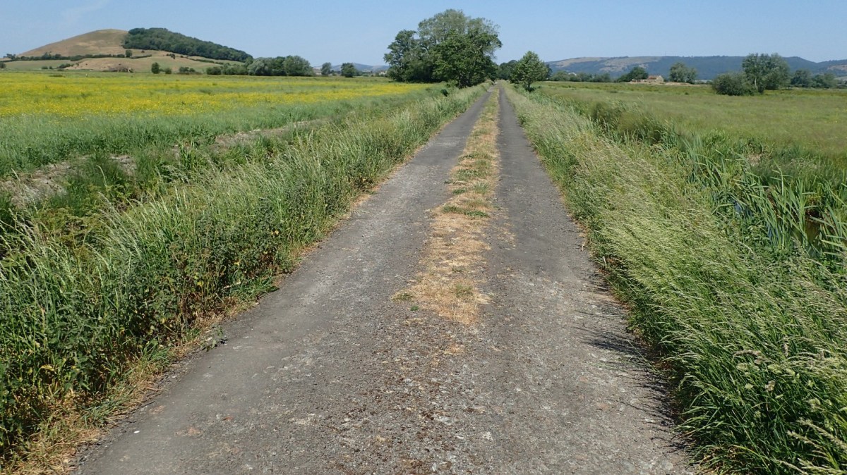
About half an hour later than intended, I was on the right path, following an old drovers route (almost as true as a Roman Road) away from the signs of civilisation. I gave way (social distancing) and past a couple of dog walkers initially. After that, I had the Moor to myself, or so it appeared.
In the far corner of the next field, there was a herd of cattle. Unmistakable. I had to go in here and they were gathered right beside my exit point.

As I’ve demonstrated to friends quite recently, I’m not completely afraid of cows. That’s now to suggest that I’m fearless. I was ready to give this lot a wide berth, just in case… Then it was a choice between making new friends or conquering this slanted, sinking and springy footbridge which was barely bridging the rhyne of bottomless depth.

Surviving all of that, I was back in the open and with no other company to share this space.

Sitting in front of the Mendip Plateau is Nyland Hill. Only 76m tall and a rare feature on this flat and low-lying landscape. I would spend most of my day orbiting it, like a planet to its star.

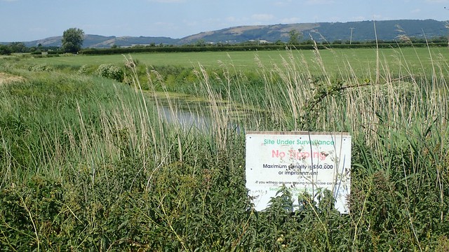
I would follow the River Axe to avoid Pump House Farm and continue past a newly-installed solar farm, on the north-eastern brink of Yeo Moor.

More sheep, while the herd of cattle began to follow me out of one field, only to give up before the chase had even begun.

Of greater concern was the need to climb this fence, in order to leave the river and continue my walk towards Treasures Farm.

A similar story at the next gate, although it looks like there was once a stile here. I wonder whether the person who installed the ‘sheep gate’ had any intention of returning to replace the stile?
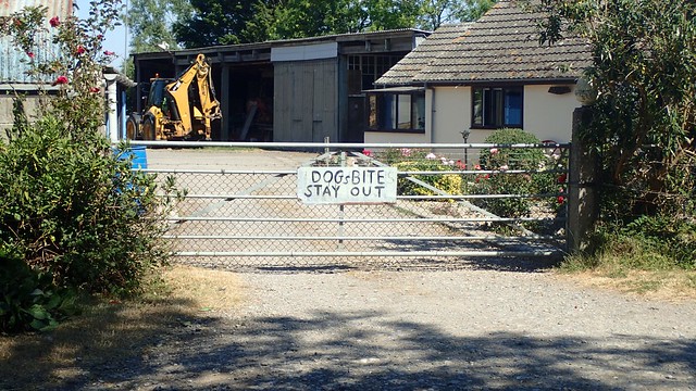
This next section of the walk would follow the road for a bit, from the uninviting Treasures Farm.

I followed the road bridge over what would once have been the railway line that would’ve once continued south-east to Wells and then beyond. I find it sad to think that its life was deemed over in less than a hundred years. There’s often talking about extending the Strawberry Line cycle path from Cheddar and through here… I hope it’s something that will happen in my lifetime.
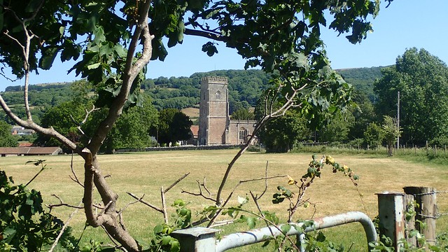
I didn’t realise at the time but, if I was to follow the route with accuracy then, I should’ve walked on to the church at Rodney Stoke. Instead, I kept to the fairly quiet roads and plodded on. A few cyclists sped by and the only walker I saw was a lady who was determined to walk along the wrong (left) side of the road towards me.

Turning on to a dead-end road and I was within earshot of Nyland Hill. I’d hoped that I would get this 9 mile walk done early and be heading back to my car in time for lunch… But it was close to an early lunchtime (midday) at this point and I’d only packed a couple of snacks to keep me going.

As there’s no direct route available, I would turn up towards Draycott and pass the sewage works before joining Dolemead Lane.

There’s a superb view of the Mendip Hills from here. Axbridge Hill, Shute Shelve, Wavering Down, Crook Peak and more!

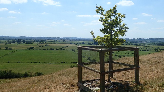
From the unsigned path at Rookery Farm, I began my ascent. Nyland Hill looks seriously dehydrated, where I had otherwise spent my morning walking through long green grass.

From a distance of around fifteen miles (as the Rambler walks…), I could see Glastonbury Tor, around twice the height of the mound I was standing on.

In eight years of walking, this was only the third time I’d been up this hill and the physical challenge felt as great as that of my very first ascent, probably back in 2013.


For a hill that’s only 76m above sea level, it is good for a workout! My ‘Lockdown Habits’ had not geared me up too well for this one.

I did stop here for my very-late-brunch. A flapjack, some malt loaf and tea from the flask. Despite being in the mid 20s, there was enough of a breeze to keep me feeling comfortable and, it was not ‘too hot for tea’ as I had expected!

I was disappointed to find scorch marks left in the ground, here and I found that subject very hard to let go of. We’ve seen too much of the “inappropriate behaviour” in the outdoors recently. This is just another argument for why disposable barbecues should be banned.

Another hour and I would be back at my car. I paused here for a good half hour; grateful for find at had the hill to myself for the entire duration. Honestly, I was expecting to meet a couple of locals up here!

That descent was even more challenging than the journey to the top. On a day where I’d decided not to pack poles, my knees were screaming out for extra support and stress relief.
I’m not sure why Robin advocates so much road walking in this guide. From a navigation point of view, it is quite easy. Alternatively, there is an alternative route that follows foothaps across fields – but it’s a way I’ve not tested since a bull ran towards me there on my first visit to Nyland Hill!

I was pleased to have made it up and down Nyland Hill, once again. Such a serene and peaceful day across the Levels. Getting back to my car from Cocklake was very straightforward.

Back at the car park – which is free to use, all day long – only two other cars had arrived since my morning departure. I could not believe it! Clearly, any crowds on that day would’ve been heading for the.
Once again, this books is part of a series called Beyond Bristol Walks and my thanks go to Robin Tetlow for the route inspiration.

One thought on “Wedmore Moor and Nyland Hill”