
Thursday 16th September 2021
Another morning of emerging blue sky was waiting for me, as I unzipped my tent and crawled out of the sleeping bag. I’d soon be back walking beside the coast. Warm weather and another night under sil-nylon to follow.


I’d made use of the kettle available at Serenity Camping to create my morning mug of tea and bowl of porridge. This time, filling the kettle with hot water from the tap – it didn’t take quite as long to reach a boil.

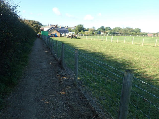
Packed up and ready to leave around 9am, I was walking a familiar road from Port Mulgrave with a sea view ahead.

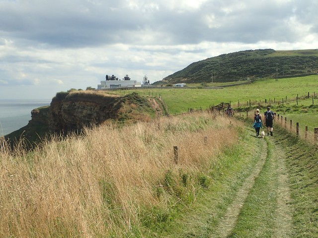
From Rosedale Cliffs, I follow the coastline on towards Runswick Bay.


I did actually take a wrong turn in following this road as it plunges down the hill. Despite the stepped path on one side, this was not the official Cleveland Way. But I was still heading in the correct direction.

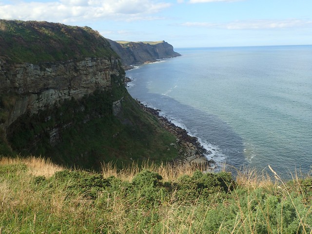
A beautiful and secluded place. Far less busy than Staithes. A local shop was available for anyone who might need (as I hadn’t wild camped in the rain this time, I marched on).


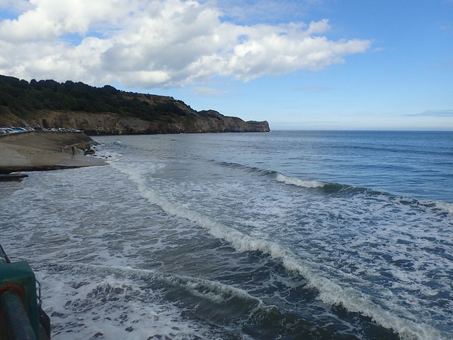
There was real beauty down on the beach itself. Solid sand beneath my feet. Waves crashing towards me. Miles of “nothing”, looking north-eastward towards the horizon (and Scandinavia).

Waymarking was a bit absent, aside from one written sign to state that the coast path would continue up “the next gully”…

At first, I didn’t spot the National Trail acorns. It looked correct to me and I was soon on my way, leaving the beach behind. A couple of other walkers had also paused here with uncertainty. I felt confident in being able to tell them that this was path of the footpath – once I’d spotted and drawn attention to the acorn and arrow.

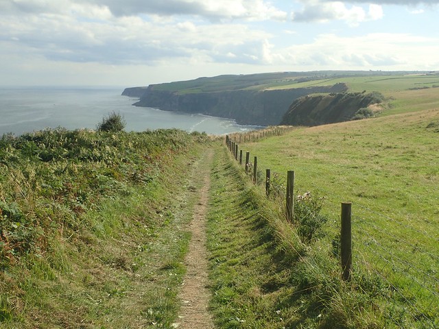
Many steps later and I was back on top of the cliffs, looking down and back over Runswick Bay.


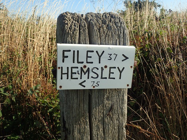
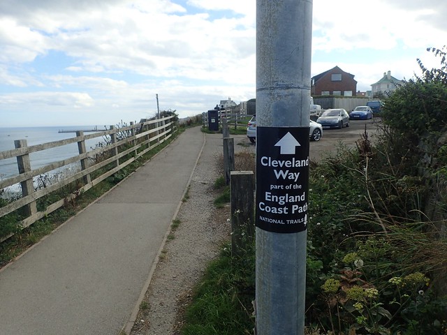
Another reminder of my progress along the Cleveland Way, as I passed Kettleness. Less official than the sign I’d seen on the previous morning!

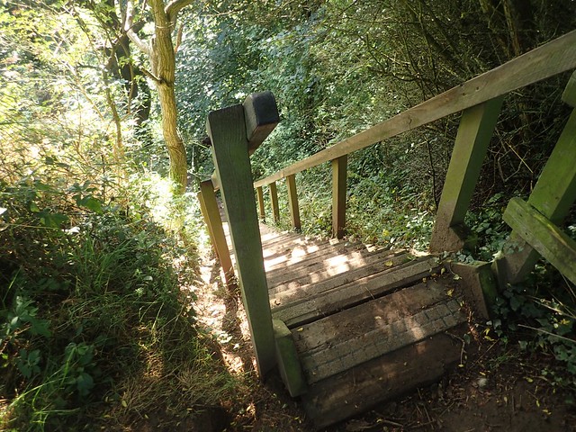
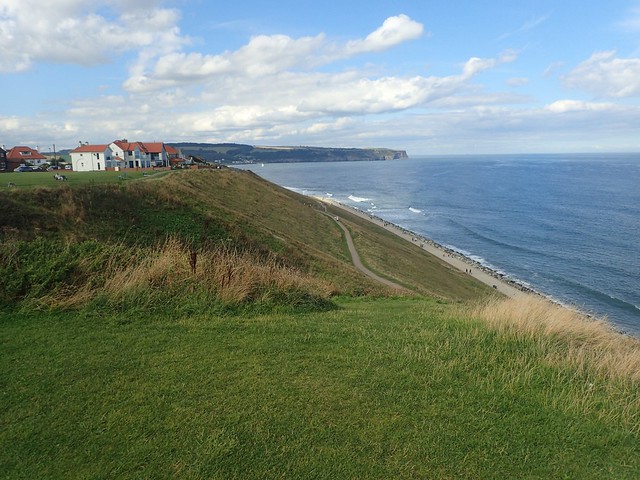
I was gradually descending towards the seaside town of Sandsend (not to be confused with Land’s End in Cornwall). Some of these descents were a bit tricky. Many of the paths were stepped with wooden constructions. Others along the coast would have the more treacherous rocked paths – very slippery when wet.
Beyond Sandsend, I’d pass through the iconic town of Whitby. EVERYONE talks about it. I’d never been and wouldn’t allow myself much time to linger. But I was looking forward to passing through.


Sandsend was quite a busy place. Beautiful beaches and cars parked most of the way along the A174 to Whitby.

This place is also home to some of the largest litter bins I’d seen! But still I wonder, why don’t people just take their rubbish home? Why do we really need bins in public places?

A long walk following the A-road. Passing many other humans along the pavement. Cars pulling up and leaving. Drivers attempting to pay for their pay-and-display tickets. I could see the sea but having to follow a busy road is one of the common ‘flaws’ of coastal walking in the UK. But this was my first experience of this on the Cleveland Way.
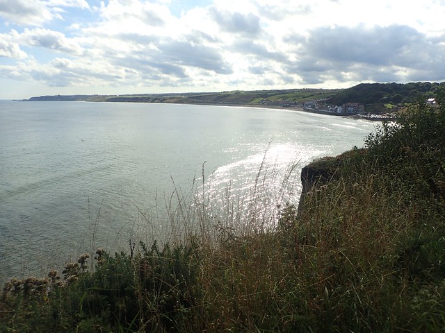
I left the roadside just beyond the golf course and followed the Cleveland Way on its elevated journey above the sea.
Alternatively, it looks like one could follow a lower route and walking right beside the waves.


Of course, Whitby was a busy place. Even on a Thursday in September, when many would have already returned to education and work. There was another monument for Captain Cook, looking towards Whitby Abbey, standing on the cliffs ahead.
Again, the waymarking had departed – or at least, I didn’t see any of them. I knew that I needed to follow roads downhill to cross the River Esk. I managed to find a way without needing to resort to GPS.

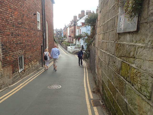
But down here, the places was absolutely heaving with people! No consideration given to the ‘one way’ signs for pedestrians during this ongoing pandemic. Along the streets that followed, I felt very uncomfortable, even resorting to wearing a face covering. It was quite a suffocating experience for a few minutes.

I hadn’t seen a way to cross between the piers. Although it looks like the Cleveland Way officially walks out to the West Pier and back – just like having to summit Roseberry Topping or to try and see the white horse near Sutton Bank.

After walking as far as a dead-end, I conceded that I’d have to climb the grand set of steps leading past the nearby church.

I didn’t have any interest in exploring Whitby Abbey – or paying for that privilege. My anxiety levels were already high. I just wanted to march on, escape the congestion and find somewhere more quiet for lunch.


I passed the caravan park above Saltwick Bay. It would take a while before any of those feelings of anxiety would begin to pass.

I had my lunch somewhere beyond this lighthouse near Whitestone Point. Three other walkers had stopped here – and they’d soon pass ahead of me as I stopped at a dry stone wall beyond.


I was keen to get to my next campsite and settle down for the evening. I hadn’t booked my pitch, although the owners ask that you phone ahead on the day so that they know you’re coming… Despite being beside the sea, I didn’t have a phone signal in the moment of attempting to make the call!
From Ness Point, I could look at head to what would be my the start of my coastal journey for the next day, as I prepared to descend towards Robin Hood’s Bay.

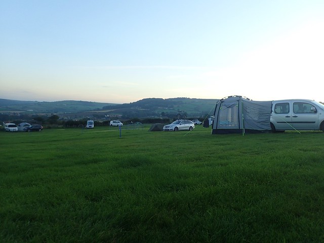
I left the Cleveland Way as I met the B1447 road and followed it steeply uphill to the entrance of Hook House Farm. There were no qualms over my lack of a phone call. I paid by card and soon had my tent pitch up, with a view of the bay beyond.

A spacious campsite that attracts both tents and caravans. There are no rigid rules on where you can or cannot pitch and I was pleased with the facilities.
Some may prefer to stay in a youth hostel (Boggle Hole YHA isn’t far away) or seek other accommodation. For me, when the weather’s good, camping is usually the way.

A fine end to another beautiful day of coastal walking. That experience of Whitby had been playing on my mind but I was ready for another evening of rest – and again, I was able to make use of the campsite’s kettle to save my diminishing gas supply! This would even worked at an acceptable speed.

Length of this walk = 17.75 miles
Thanks for reading.

Great read and pics Olly 👍🙂
LikeLike
I enjoyed Whitby so I am surprised you didn’t.
I stayed at the same camp site when walking the coast there. I rang the day before and was told they don’t take bookings but not to worry as there would be plenty of space. Then I turned up and was told “sorry, we’re full”. When I explained I’d called and been told that the previous day they would have space they then found a space for me. A bit of a worry though as I had nowhere else to go!
LikeLiked by 1 person
Hi Jon,
Had I been visiting for the day, I’m sure I’d have enjoyed Whitby more and spent time exploring it properly. But I’d been mostly walking alone for four days and now, I couldn’t move for other people on the lower streets.
Glad to hear that you were still able to camp there. I can imagine they fill up during the summer.
LikeLike