Sunday 13th November 2022
Having enjoyed a cup of tea and some solitude beneath the mound of Twmbarlwm, my walk would continue with a steep descent towards Cwm Carn. People had passed me, heading up and down the hill, as I sat and enjoyed my deserved respite.


There’s a small car park at the bottom of this descent and I can imagine a number of families might look to start their walks from there. Other car parks (all pay and display, I believe) exist around the forest beneath me.


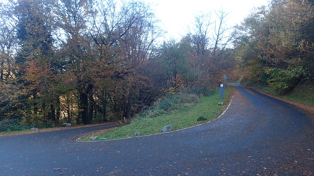
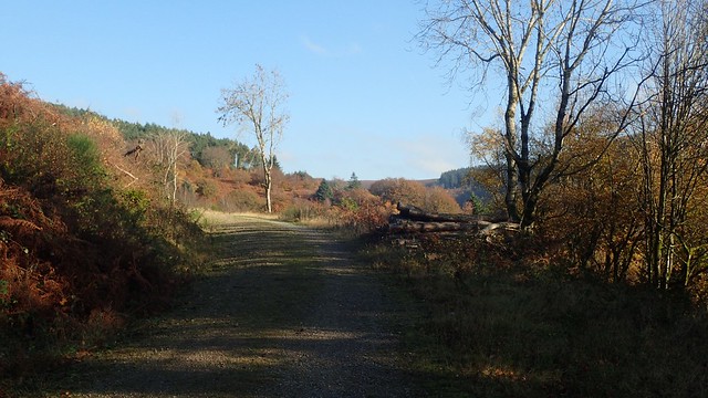
Many of the roads here and not marked clearly as ‘roads’ on the OS map. They appear as average forest tracks but they look to be in very good order.

I’d reacquainted myself with the Raven Walk, which I also met on a previous walk from Machen, across the Risca valley. This was the first raven that I’d seen on this trail.


I was able to navigate the roads (not forestry tracks) easily enough and continue following the Raven Walk.


I had no issues with passing mountain bikers or horse riders, in spite of the advisory signs and soon found myself following Nant Carn (a stream).


A nice walk along the water’s edge, here. Passing other (more leisurely) walkers and the odd cyclist.

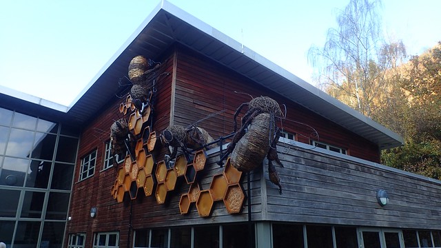
There’s a rather unique café here and I think you can even hire a bike for a few hours. It was certainly busy with cyclists, stopping for the moment.

But my leisurely walk would not last for long. Before reaching either Cwmcarn or Crosskeys, I’d start climbing up and away from the valley. A common theme of my walks!


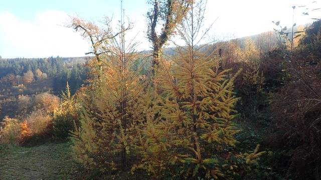
Another wander through woodland. Somewhat less colourful than what I’d experienced in the morning but with the sun breaking through overhead.
With some zigging, zagging and exertion, I made it up on to the higher tracks, soon stopping for lunch at this lone picnic bench, with friendly mountain bikers passing left and right.


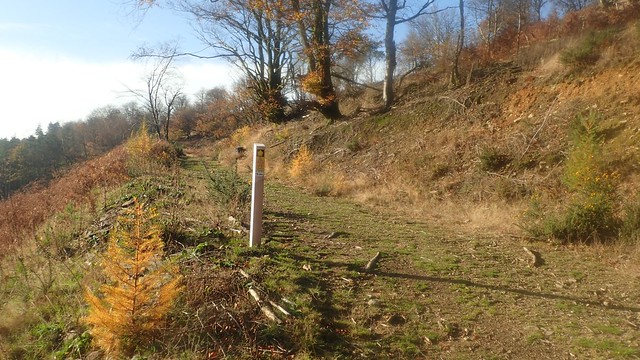
I soon left the forest of Cwm Carn and broke out on to Open Access Land for the final time on this day.
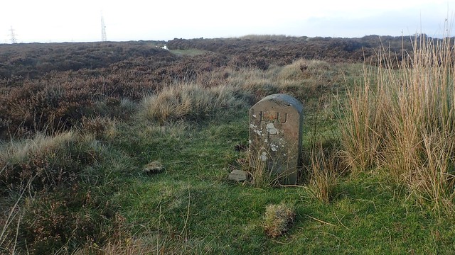
All paths crossing the open moorland here were very distinct (muddy) and easy to follow, from a navigation point of view.

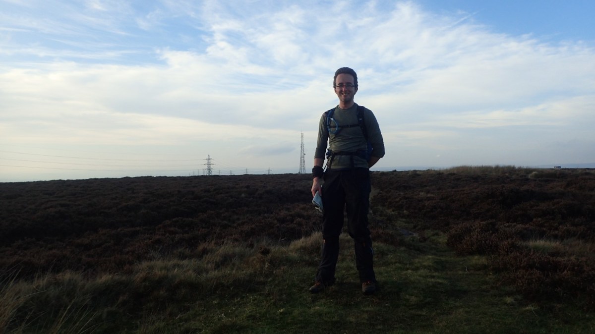
Again, I was aiming to cross beneath that line of pylons and electricity.


On the other side, I turned north and followed a less-distinct path towards another trig point, which would soon rise in to view above the heather.


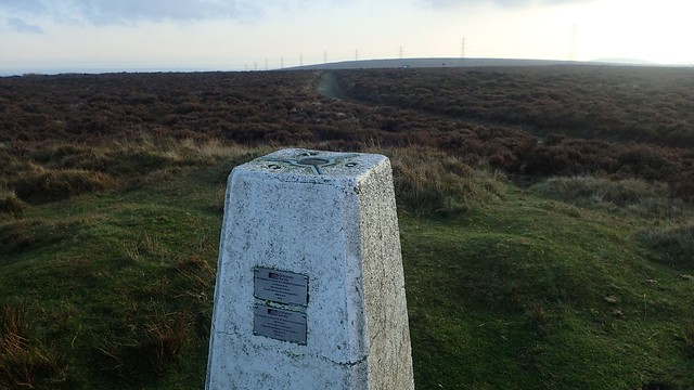
At 472m above sea level, this was the highest point of the day. Taller than Twmbarlwm! Possibly the highest point of Mynydd Maen or Mynydd Twyn-glas.

From here, it was essentially a gradual descent back down towards the car park. I was pleased to have enjoyed a walk in another part of South Wales that wasn’t in the Brecon Beacons National Park.

Youngsters on their noisy bikes soon passed by. To be fair, they have a right to explore outside of a National Park. I do find it interesting to think of how things might change in a few years, when the government bans vehicles that don’t run on fossil fuels… But that’s an entire discussion on its own!!


A very good day out and I was finished before the dark of winter.
Length of this walk = 12 miles
Thanks for reading.
