Wednesday 18th February 2026
This post continues on from my brief morning visit to Lydford Gorge, as I returned to the same car park. Persistent rain was… Persistent!

Turning left out of the car park and following the road, eastward in to a bend; I discovered a classic pont wan (many years of driving around Wales has taught my brain to automatically make this translation, subconsciously).

I then took the second available right turn along this track, which is apparently also an alternative route to the road, for the National Cycle Network route 27.

I was soon out on to the open moor. Dartmoor but with no danger becoming lost for several days. Rain had eased for a momentum, granting me a potential window of opportunity to get up to the top of Gibbet Hill and back down again, before the next shower began.

There were no great difficulties in finding the way. My challenging was physical; constantly slogging uphill with every step of my boots disappearing in to a forever saturated earth beneath me.

As I climbed higher, the surrounding views began to dissipate. Cloud cover was swarming over and I was destined for it.

Away to the south-west, I could see Brent Tor. Perhaps the most isolated tor of Dartmoor? Alone on its ‘island’, right on the very edge of the National Park boundary. A bit too far for me to trek, there and back, on this sodden outing.

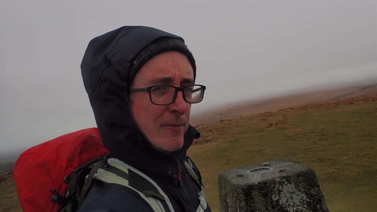
A trig point stands atop Gibbet Hill, at 353m above sea level.

It was about time for lunch as I reached the summit. But then next shower was very much imminent and, even without that, the wind up here was unpleasant.

I managed to dip down in to part of the disused quarry up here and found enough shelter for a brief lunch stop. Perhaps ten minutes at most because, the rain wasn’t going to wait for me to finish and rest properly!

From the top of Gibbet Hill, you can both see and hear the A386, perhaps 500m away. There must be many who ‘cheat’ to get here; park along the roadside in one of the gateways and walk a short level route across the top.
I needed to get downhill now. To escape the worst of the afternoon’s rain and retreat back to my car and accomodation.

I knew the vague direction of the car park and didn’t need to do much in the way of navigation to get down. This path, again, was signed as part of the National Cycle Network. Of course, I didn’t see a single bike on this day!

There was a white cottage that I’d passed as I stepped on to the moor. My first sighting of this property led me to the wrong one and what would’ve been a premature exit at Burn Cottage! I could see this on my map and, although it was a slog, splashing through the great puddles to get there; I soon found my way back to my outgoing steps.
I was pleased to have ticked off this hill and trig point, even if it’s not classed as one of Dartmoor’s many tors. I was still recovering from a recurrent cold so, this was a good step forward for me.
Here’s a link to a route that’s similar to the one I followed
Thanks for reading.

 Walks With Olly