Saturday 26th August 2017
This was one of those occasions where I was looking to do a walk but not entirely certain of where to go and also reluctant to travel too far from home.

I decided upon a fifty-minute drive south to Combwich near Bridgwater. From there, I could revisit a section of coastal walking that I first completed with Anna in 2016. Then, there would be the eyesore.

This was also the first of a three-day Bank Holiday Weekend. Our last one for 2017 and, unlike the previous weeks of August, this one had promised the high temperatures and lack of rainfall that we always hope to find at this time of year.
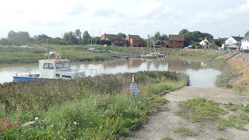
On the OS map, I’d noticed that there is a designated car park within the village. Last time, I believed we had parked in a completely different space but you wouldn’t necessarily know this larger site was a car park – there’s no pay and display booth but there isn’t any signage, beyond warnings to not obstruct the slipway.
To be fair and, with a pub just down the road, the riverside here is so quiet that you could comfortably leave your car beside one of the grassed areas.

Leaving Combwich in a north-westerly direction, my walk began, heading through Otterhampton (strangely, nowhere near the River Otter) and in to Stockland Bristol.
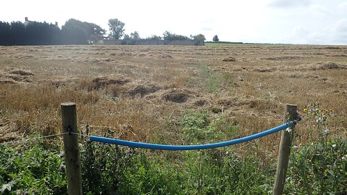
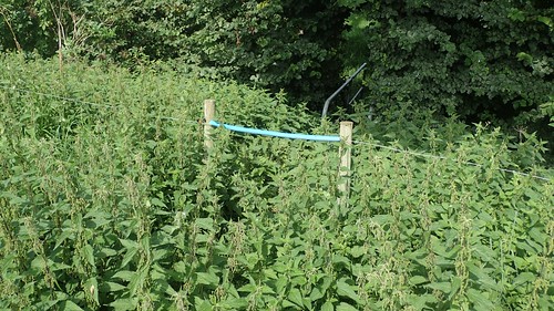
Along the way, I followed a public footpath across land owned by Hill House.
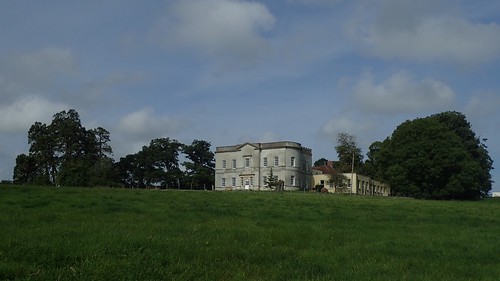
I’m not aware of the activities that take place here but, there were people setting up large tents and event shelters around what looks to be an infrequently used football pitch.
I thought I was following the right of way as I ducked in to an opening in the woods across the field… Even without an arrow to follow, there was a clear path to follow. Emerging from the other end, I met an arrow walking back along the edge of the fields I’d ignored… A minor trespass, perhaps. But more pleasant that baking in the sun.
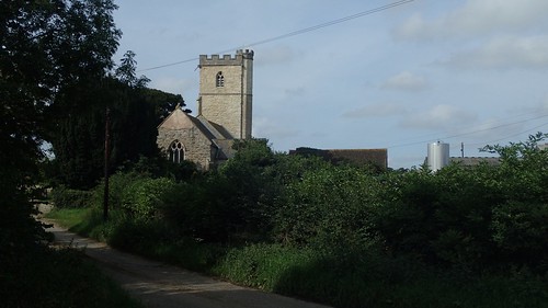
On to the roads and my first marker on this route was the local church, sat right beside Otterhampton Farm.
At the end of this road, I’d follow a path across fields and skirting the eastern edge of the farm. It looks like it may be one that’s ‘difficult to cross’ in the height of summer. Although, the right of way remains green, between what’s left of the long grass.
This landowner clearly wasn’t a fan of kissing gates. Fortunately, I stuck to my rule of wearing trousers – even when the weather is good.
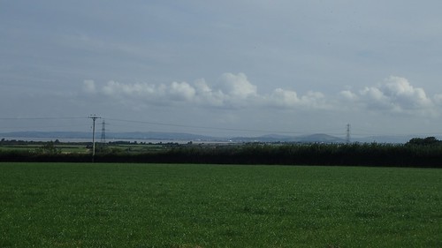
Walking in the direction of Stockland Bristol, I had a view of the Mendip Hills’ highlights to my right. Somehow, they look much bigger from here, than how I know them to be on my doorstep.
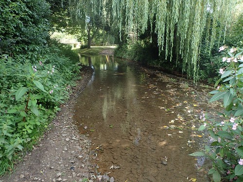
A pleasant path alongside someone’s private and well-maintained garden led me to the next road.
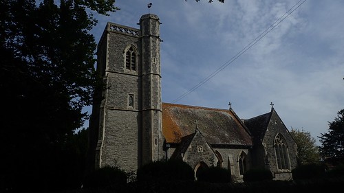
Over the other side was St. Mary Magdalene’s Church of Stockland Bristol.
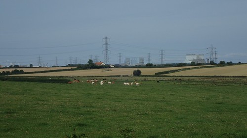
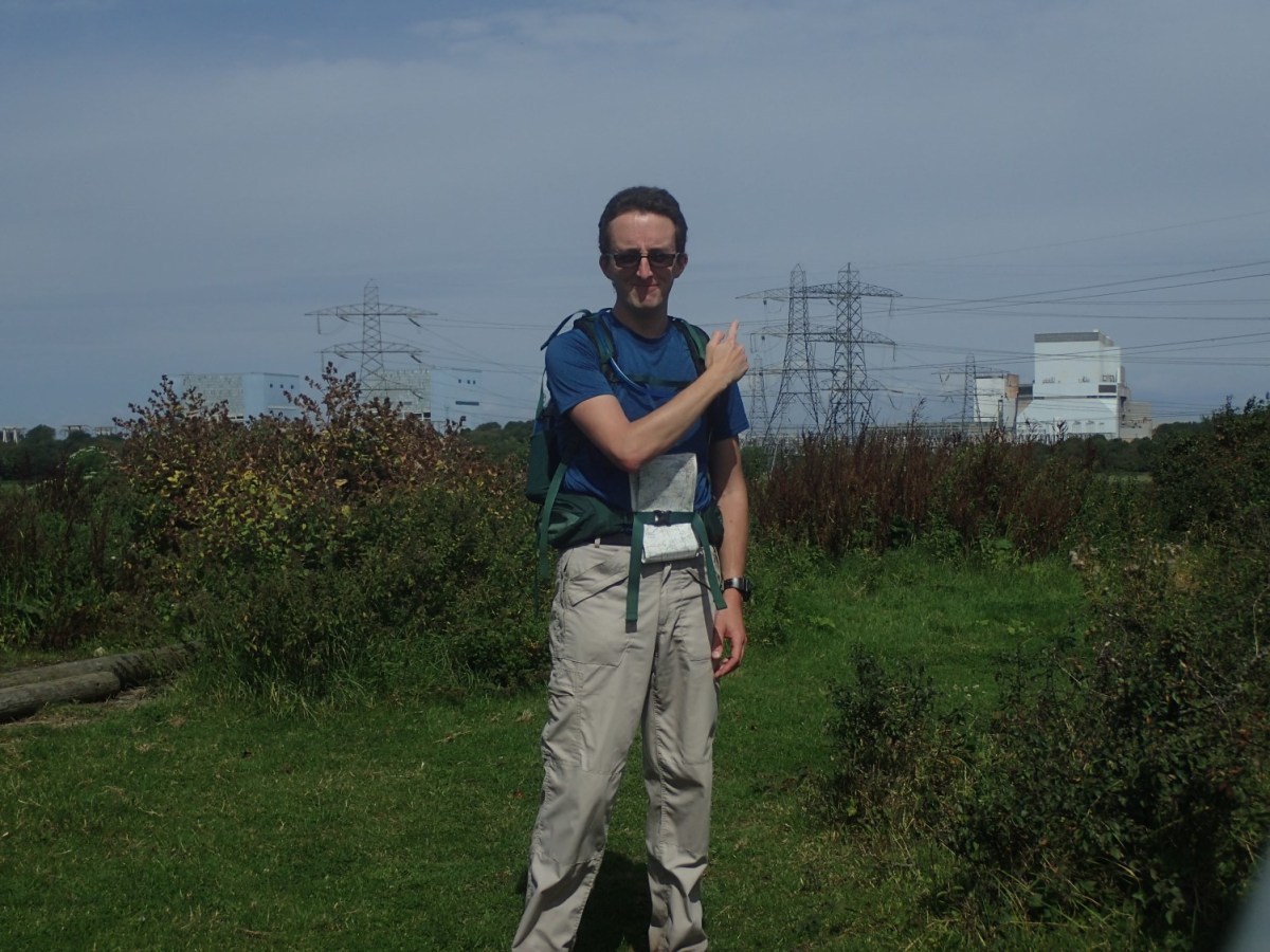
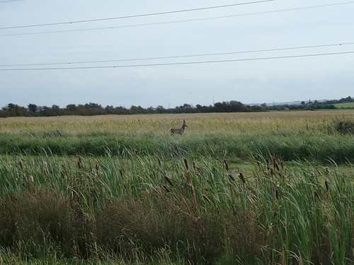
Turning north to cross fields now, I spotted a herd of cows (maybe several) on the far side. Beyond that, the unmistakable blight of Hinkley Point. Both can be an equally frightening prospect for any walker.
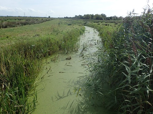
But before that, I found myself entering land that was designated as part of the Steart Marshes nature reserve and crossing North Brook (…Which actually runs east to west).

There were larger cows, including a few Highlanders, occupying fields with permissive paths running through them. I found a bench nearby, stopped and had something to eat.
Across another field, I reached Woolstone Farm. Then, left along Woolstone Lane towards Idson Farm and, from there, I manoeuvred my way to a track running beside Zine Farm and leading to Wick…
At the far end of which, I encountered this ford…
You can see a stream passing through on the OS map of this area but the word ‘FORD’, in my opinion, is desperately absent. I waded on through, with no way to sneak around. Of course, I don’t like turning back, either. Another waterproofing test for my Salomon X Ultra 3 trail shoes, in which they ultimately failed.
From there, I followed the track from Wick Farm (at least the farm names in this part of Somerset make sense), north towards the moor. It looks as though you can take an alternative parallel across fields parallel to this track but I didn’t see any clear indication of or direction for this, on the map.
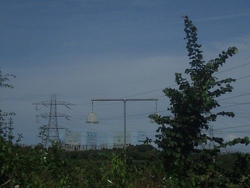
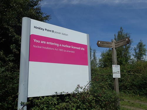
Reaching the infamous lamp shades (how they’re supposed to warn us of a radiation leak, I still don’t know), I was soon to arrive at the nuclear power station.

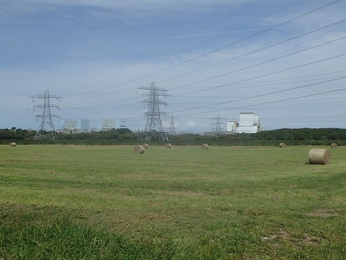
Away to my left, I could see the ongoing construction of Hinkley Point C… My own personal view boils down to the fact that we live on an island, surrounded by water and prone to being battered by the wind… In this part of the country, we experience the second highest tidal rise in the entire world (the different between high tide and low tide)…
We have all of this free and easily renewable energy available to us and yet, we’re ploughing billions through multiple-ownership in to an eyesore that’s already behind schedule and will ultimately damage the landscape and environment, even without a major catastrophe.
Hinkley Point A and B, just for reference.
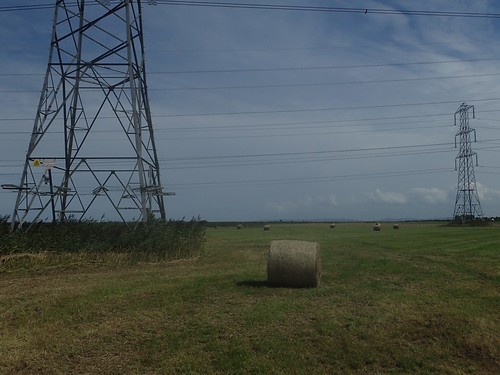
Stepping on to Wick Moor, I was walking in the vague direction of a waymark arrow on the side of a gate-less post… Beyond which, there was no further help to aid fellow walkers. Technically, this is open access land but I didn’t want to find myself walking too close to the power station or ahead of the coastal path…
It was while walking beneath these power lines that I suddenly developed a severe headache… Coincidence?
After a lot of backward and forward trekking through long grass, I jumped a couple of locked gates to arrive at the point where the terrible coast path diversion skirts around the sewage works.
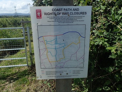
I’d been following a purple path to the right of this sheet, walking north towards the eastern-most bend in yellow. A public right of way but there was no suggestion of this on any sign post or on either of the locked gates I’d climbed…
Lazy landowner? Or are the Hinkley bosses determined to keep “aimless” walkers following a single route that’s easily monitored?
I may have to revisit this area again so that I can report the lack of waymarking and accessibility properly. Then again, Somerset County Council have an interactive map that isn’t, in my opinion, very user friendly and, in my experience, they only respond with automated responses like:
“The issue has been resolved because:
The issue has been resolved”
I’m now officially the Footpaths Secretary of Brunel Walking Group in Bristol and I do have more of an obligation to report such issues. Perhaps using the Ramblers’ Pathwatch App would be better.

I do look forward to the day when the true coast path is open. I’ve not walked it and it is said to be due for 2019… I’m doubtful, right now, even though Natural England aims to have the entire England Coast Path complete in 2020.
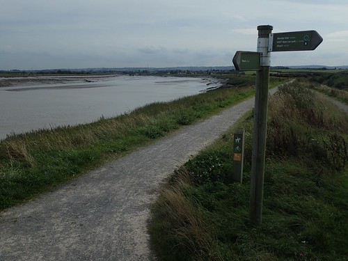
Lamp shades aside, I had reached the coastal path – where the West Somerset and England Coast Path share a line.
Even Hinkley cannot ruin this spectacle and yet, it’s possibly the reason why I would barely see another soul, as I continued walking eastwards.
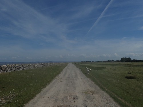
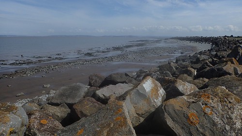
I’m always impressed by the glory of this stretch.
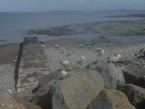
Sheep on the beach – a sight I had never seen; minutes after eating my lunch upon the sea wall.
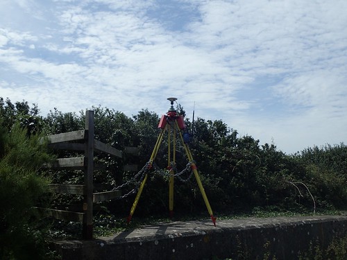
Someone was probably carrying out some kind of survey in this area. Could it have been related to the expansion, further west?
It’s not long before the coast path loses its close connection with and view of the coastline. At this point, I’m passing other people, out walking their dogs. Locals, perhaps.
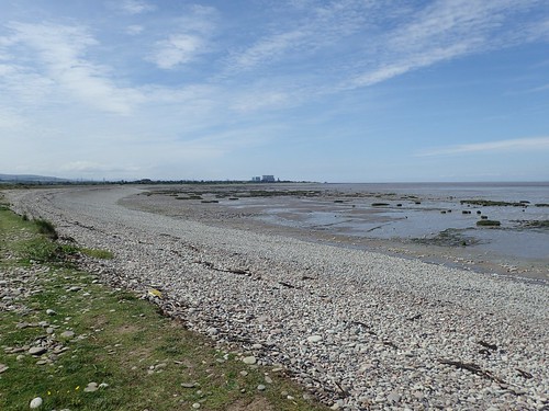
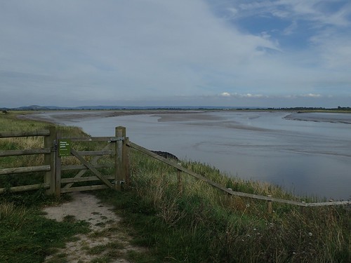
Before too long, I reach Wall Common at Bridgwater Bay. There’s supposed to be a trig point around here but I’ve never been able to find it. But if you visit Trig Pointing UK, you’ll see it’s actually buried partially within a wall!
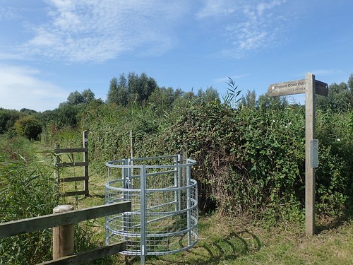
I decided to follow a series of paths through and around the bay, before inevitably reaching Steart Marshes.
I’m not a huge fan of hiking through here, with the dry gravel track that’s too convenient for cyclists and harsh on a hiker’s heels. But, this area was only redeveloped a couple of years ago and the signage is excellent.
…Not that it would stop me from making a poor decision in a hurry to escape the reserve and finding myself at the dead-end, beside the River Parrett.
Back on the right path though and it wasn’t long before I returned to my car in Combwich.
If you have an OS Maps account, you can view the route I followed.
