
Saturday 19th August 2017
In north-east Somerset, there’s a lesser-known sixteen-mile circular trail known as the Three Peaks Walk. It bears no relation to the national challenge and there is no time limit in which to walk the full distance.
I’d previously followed the way around Pensford, Dundry and the Chew Valley several times. But there were a few miles near Clutton that I’d never walked and that was my intention for this outing.
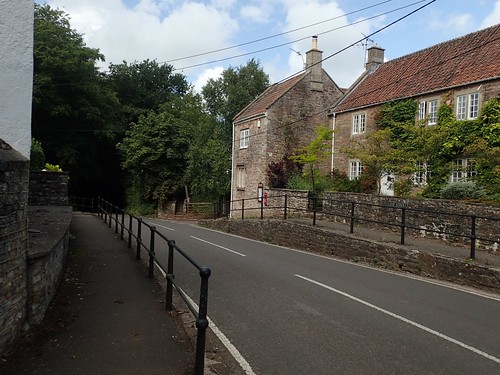
As I often do, when beginning a walk from Pensford, I parked my car at the village hall (OS Grid ref. ST 620 639). It’s not highlighted as an available car park on the maps but I often find that space is available on a weekend. Sometimes, you’ll need to be aware of local football matches taking place – one was underway by the time I’d finished this walk, with every other space in the car park occupied.
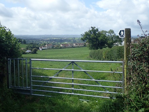
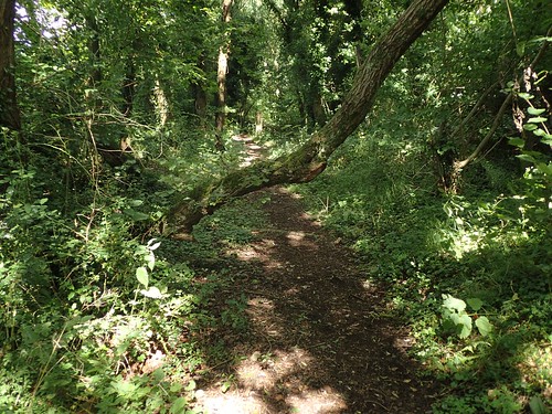
I walked south from the village hall, following the road to where it joins the Three Peaks Walk. Soon and higher up the hill, this walk turns left to cross fields and heads in to Lord’s Wood.
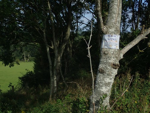
Open land awaits beyond the forest. I know this early section quite well. Although, the public notice warning off how shooting takes place here and that we should always stick to the right of way; that was one I’d not seen before.

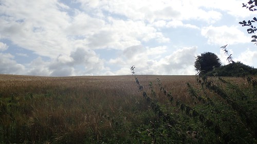
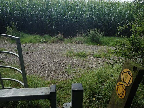
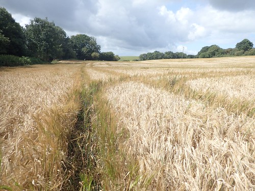
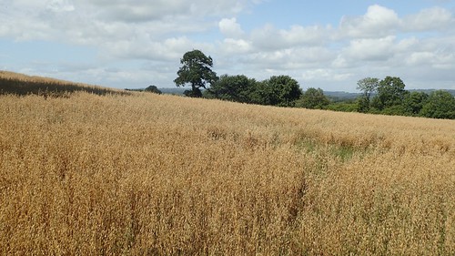
On the approach to Hunstrete, you have two choices with regards to moving forwards… Unfortunately, a field of crops stood in my way. Although, I was able to sneak around the edge of the first field.
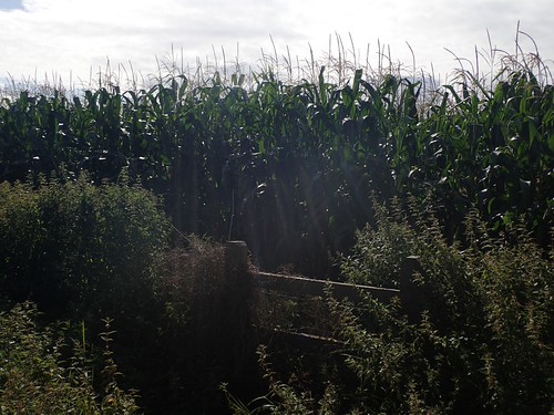
On every previous occasion I’ve walked here (usually, in the spring), this section has been free of any crops. Now, I could see only an obstruction beyond the stile I’d been searching for.

Frustrated, I turned back and took the other footpath (briefly leaving the Three Peaks Walk) to reach the road near Nutgrove Farm. Walking north along these fields, the map shows the public right way as being on the right of the boundary line… In actual fact, I found it was on the left hand side.
From the road, I could continue uphill with cyclists whizzing past me, to join the other end of the cropped field… Where, I could see, a path had been cleared through the corn or wheat… Had I walked maybe twenty metres beyond that dead-end stile, I’d have found it sooner!
I could still complain, as the line doesn’t follow the exact right of way…
Now, from Hunstrete, I could begin my previously unexplored section of this walk.

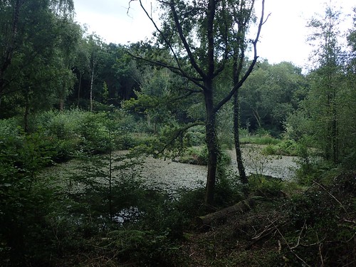
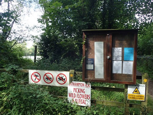
There’s another footpath walking along the northern edge of this lake, which looks to be an almost private space, with slightly intimidating signs in places.
I didn’t linger for too long, with many fishermen and their shelters pitched up around the perimeter. At least, finding the exit was unmissable!
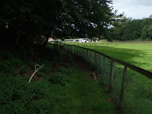
Walking towards The Pig hotel (why, I don’t know), I was pleased to find the footpath clearly defined by fencing. I find I can relax a bit in these situations; almost put the map away and focus on putting one foot in front of the other.
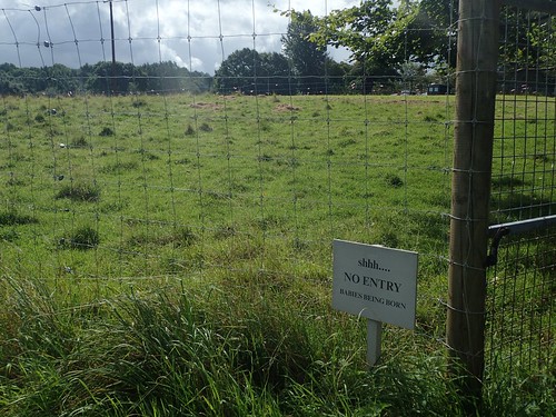
To my left was a curious sign beside a locked gate. What kind of babies are born in August?
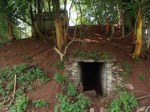
Again on my left, was this tunnel built in to a small hill, with another structure sat near the top… A former ice house? Shelter from the war?!
If you’re feeling more brave than I was, the approximate grid reference is: ST 647 620. I imagine it’s a good place to find a GeoCache or two, if you’re in to that.
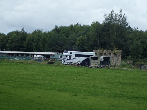
Across the field on my right, an historic-looking wall structure at the end of a line of horse stables (not as historic-looking).
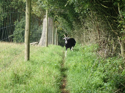
Up ahead, a couple of goats had found their way on to the footpath, between fences. Were they the ones giving birth at this time of year?
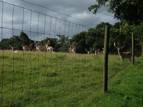
Deer!
Do deer not give birth in the springtime?
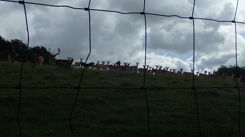
This space isn’t highlighted as a deer park on the OS map but there was no-one else around to admire them.
Where the footpath soon turns left and up to the A368, I would walk along the edge of Hunstrete Plantation. There’s no official right of way to the right (tracks are evident on the map) but a sign implies that you’re welcome to walk on further… It’s possible then, that you can continue through to Lord’s Wood.
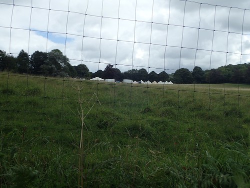
Before reaching the main road, I could see what appeared to be a small festival-sized gathering of tents and shelters. I wonder what was going on?

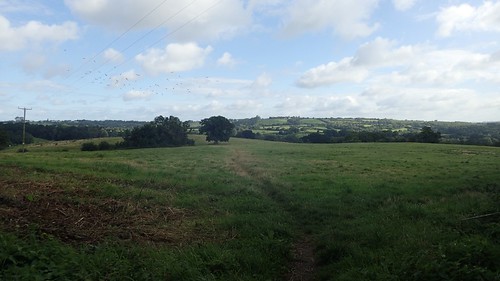
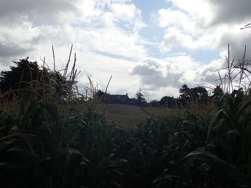
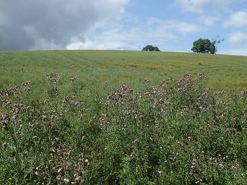
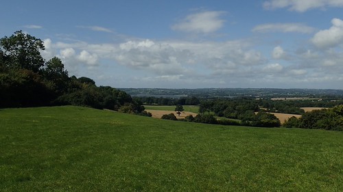
I was now climbing south towards Barrow Vale. I think this is a photo of Dundry Hill, much further north.
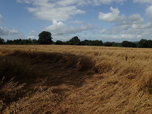
There was a solar farm away to the right, while the right of way ahead was obscured by… Yes, more crops!
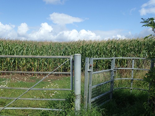
I cautiously followed the track around to the left, which did lead me to a locked gate (which I climbed) and the public byway beyond. From the gate across this same field, there was no space even to walk around. A great frustration for anyone walking north along this route.
Blackberry Hill – the third and final peak of this circuit – was now in sight.
It’s quite underwhelming, to be honest. Unlike Knowle Hill and Maes Knoll (the other two peaks), you’re only able to follow a track over it, beside a working farm and with little scope for views of any kind.

I took this one, looking through an open gate and across private land. There is a trig point on Blackberry Hill but again, it’s concealed within private territory. Apparently, the landowner(s) will let you head up and bag it if you ask nicely.
Now, I was heading downhill towards Clutton. I’d driven past it, never through it and this would be my first time walking in this area.
I soon picked up the path running behind Hazeldine Farm; grateful for the farm tracks that allowed for easy passage along this field of almost waist height grass.
I passed a man working away at the length of a hedge; almost tempted to ask him to come and clear the footpath for me.
Nap Hill was a greater pain. No clear right of way to follow and even the vehicle tracks were a bit ‘scratchy’ on the legs in places. Fortunately, I mostly wear trousers on my walks and don’t think I’ve made the mistake of wearing shorts since June!
Further on and I crossed what looked like it was once a railway line, according to the OS map. This would’ve run north, crossing Pensford along its viaduct and, to the south, it was destined for Radstock, where it looks as though a portion of the route remains open as a cycle path.
In a country that’s facing over-population and with a road network that isn’t fit to survive, I do wonder how long it will be before we consider re-opening more of these old ‘disused’ railway lines?
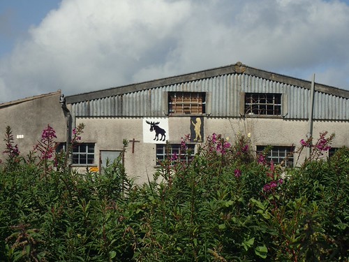
Interesting signs on the side of a commercial property.
My walking continued across the A27 (…I hadn’t even heard of the A27 before looking at my map, moments ago*). Green fields ahead of me and a right of way that was quite easy to follow.
*Actually, it looks as though Ordnance Survey have made a mistake and labelled the A37 incorrectly.
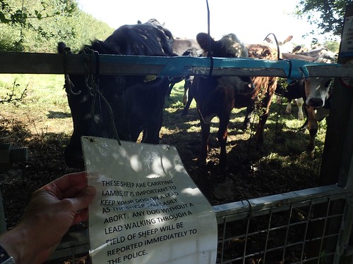
This herd of sheep cows was blocking my entrance to Tynemoor Wood. Although, they upped and left – doing that synchronised herd run and panic, as they often do – before I got too close.

In true bovine fashion, they blocked off my return to the field from the moment I closed the kissing gate behind me. I genuinely believe that those at the back don’t really know what’s going on and are just keeping up with the rest.
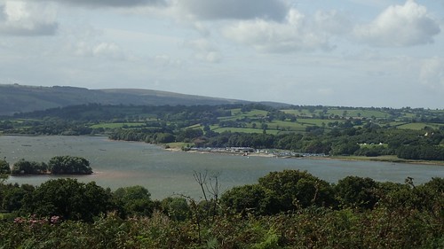
On the approach to Stowey, there was good views north towards Chew Valley Lake, which seemed so very far away. I remember almost losing the footpath here. As there were no markings on the ground, I guess it’s somewhere that people don’t tread very often.
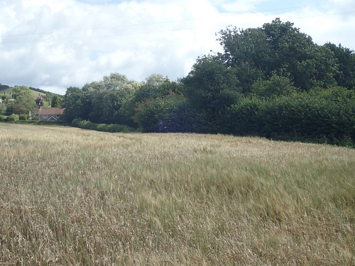
This was followed by another overgrown field; albeit, below waist height.
I was able to follow the edge of this one and pass through on to open land… On an unexpected void that saw me walking “blind” between the two maps that I was carrying. Owning three maps to follow one sixteen-mile route seems a bit excessive. I wouldn’t have far to go and would place my faith in the waymarking.
Another field of long, dry grass. Much of which had been flattened but, still, I felt like I was along a giant dry sponge.
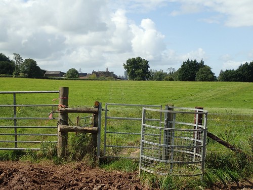
From Stowey, I could follow the road to cross the A368 once more, near Bishop Sutton. As I was waiting to cross over, a farmer was aggressively herding the last of his cattle in to the field I was set to follow in to…
He kindly advised me to avoid the field and footpath, just for today. I was frustrated as, technically, this would mean I haven’t completed the Three Peaks Walk… Had I arrived ten minutes earlier, I might’ve been okay. But, five minutes later and, well, who knows what I would’ve encountered in that field!
As I walked on along the road and parallel to the desired footpath, I could hear “angry” mooing with the constant stampede of hoofs behind the houses.
No regrets!

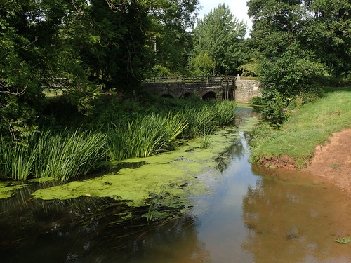
There was a ford crossing right before I would rejoin the Three Peaks Walk.
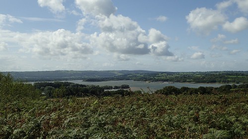
From here, I soon continued along a familiar road and climbed to the top of Knowle Hill, overlooking Chew Valley Lake.
But for that short stretch I had wisely avoided, I’ve now completed the Somerset Three Peaks Walk. I suppose my next aim will be to walk the full sixteen-mile circuit in one go.

But still, I needed to return to my car in Pensford.
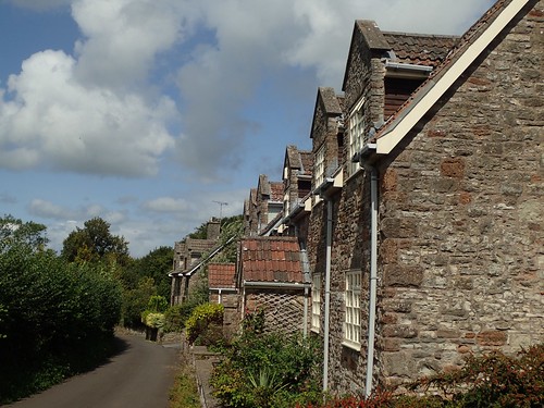
Walking along Pitt’s Lane, I passed Pitt’s Farm and Roundhill Farm before continuing to reach the Two Rivers Way near Paradise.
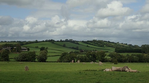
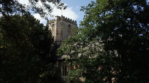
This would lead me through Stanton Drew, past the stone circle and on to Pensford. A very familiar route but one that’s always enjoyable.
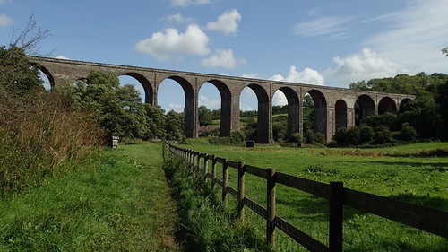
Pensford’s infamous viaduct.

This raises and issue that I am seriously fed up with – and I know that many people feel the same way. People who go to the effort of bagging their dog’s poo (the hard part) but then leave it lying or hanging around for someone else to pick up!!
Two weeks ago, I was leading a walk north of Bath. As we returned to Marshfield, there was a black back hanging around our final kissing gate and around chest-height for most of us.
Fining people for not cleaning up after their dog is one thing but this kind of act is happening far too often.
All of that aside, Pensford remains to be one of my favourite places for walking close to Bristol.
One day, I’ll get around to completing that final piece of the Three Peaks Walk.
