
Sunday 10th September 2017
2017 marks the eighteen-year anniversary of Brunel Walking Group.

Back in September, our current chairman (David) decided to host a repeat of the group’s first ever walk; a loop beginning in Cheddar that also follows a portion of the West Mendip Way.
You may know that I’ve personally walked the West Mendip Way a number of times (four, to be precise), as part of the annual Mendip Challenge event. It’s a route I know well and I’m also quite familiar with many paths around Cheddar.
None of that was going to deter me from heading outside to join a group of others. I also had a quantity of miles to cache as part of my ongoing #walk1000miles challenge.
We all met at the frequently-used Cliff Street car parked, with a reported daily parking charge of £3.50… Which has actually soared to £5 more recently! I, however, had chosen to leave my car halfway up the gorge road in one of the lay bys not marked as a parking bay… Saving money and adding an extra couple of miles to my day!
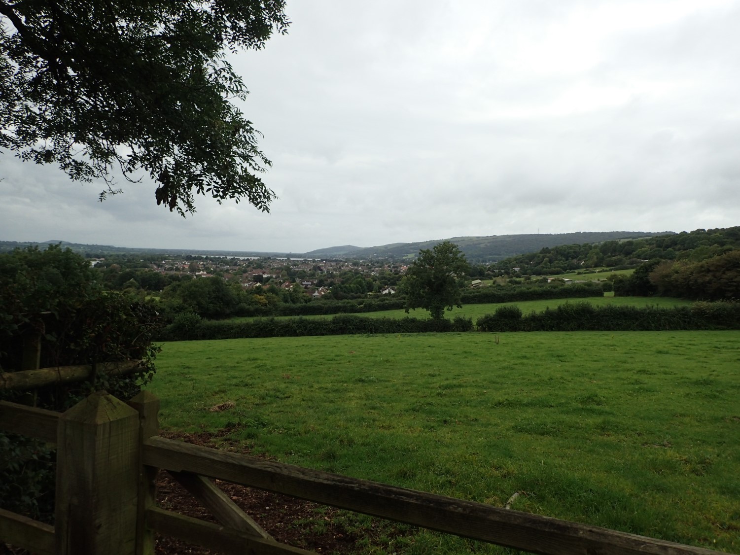
Ignoring the lure of Jacob’s Ladder and Pavey’s Lookout Tower, we began climb less-frequented footpaths in the direction of Mascall’s Wood, which is where we would join the West Mendip Way.
We continued to climb up, over and beyond Bubwith Acres Nature Reserve (always an unexpectedly harsh and endless ascent), before dropping down to cross the gorge road, now heading past Black Rock.
Sticking to the West Mendip Way, we passed Charterhouse Farm, Tyning’s Farm, continued through, up and out of Rowberrow to reach Shipham – these are all places I have photographed too often to warrant taking fresh ones.
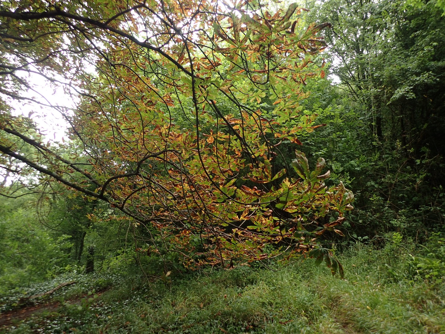
Every managed to stay on their feet throughout the constant mudbath of Winscombe Drove. Crossing the A38 to tuck in to King’s Wood, we made our way downhill to join the Strawberry Line cycle path – a portion of which, just north of here in Winscombe, remains closed at the time of writing.
It was on the way down in the Axbridge when a classic ‘herd panic’ kicked in, as the rain began to fall and, one by one, everyone dug in to their bags to don waterproofs in a frenzied fashion.
In case you don’t know; the Strawberry Line was once a railway line running from Yatton, in North Somerset, down to Cheddar. The passage of strawberries was a main plight of its trade, in those days. There has been talk, over the years, of extending the cycle path down to Wells and granting public access to other disused railway lines that branch off it (some of which, the raised banks remain)…
Funding, paired with a lack of co-operation from various landowners, stands in the way.
Wells to Shepton Mallet Proposal
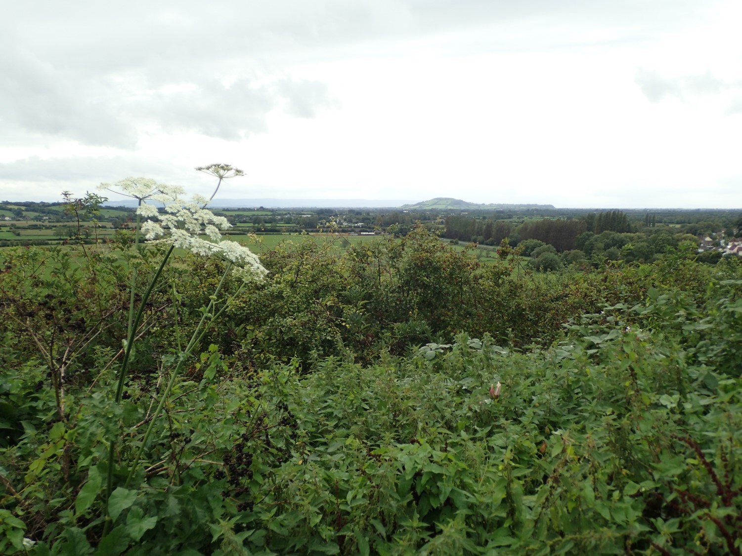
When not staring at the gravel path beneath you, there are some good views across the Somerset Levels, looking all the way to Brent Knoll (a former hillfort).
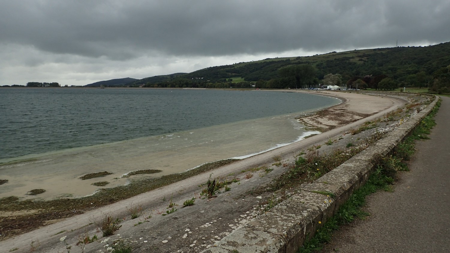
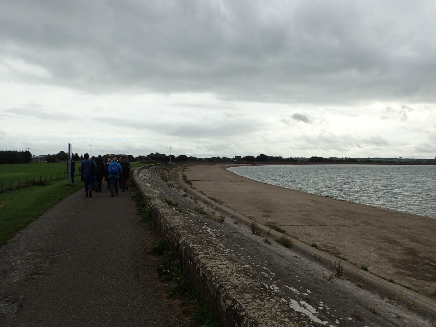
We left the cycle path prematurely to reach Cheddar Reservoir (referred to as Axbridge Reservoir, by stern locals on the west side of the water…). Although a right of way isn’t highlighted on the Ordnance Survey maps, the public are allowed to walk the full two-mile circumference of the lake. There are even parking spaces available on the north and east sides.
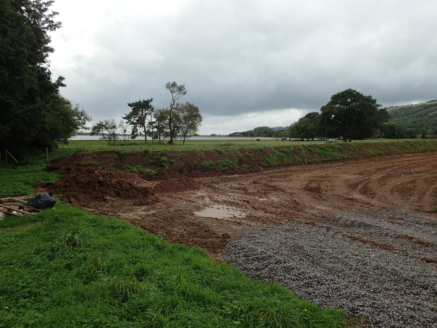
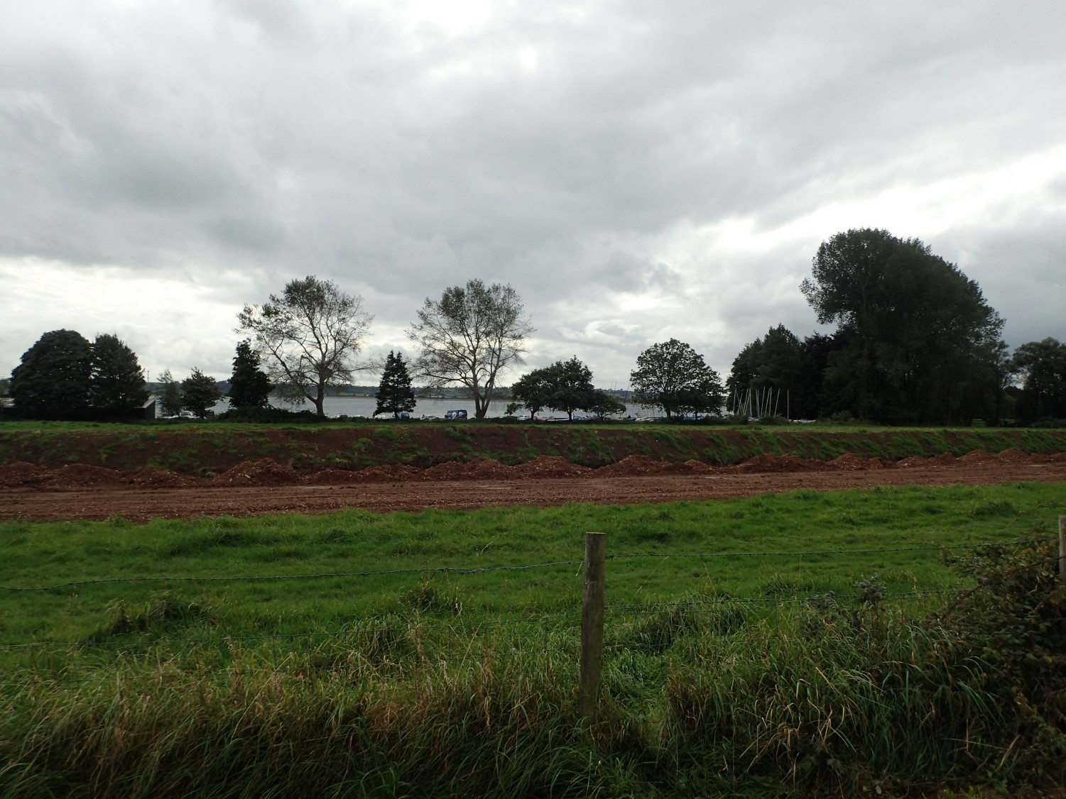
Excavation work has been taking place to the north of the reservoir. This is possibly related to work that Bristol Water has been working on across the region (which is why the Strawberry Line is closed near Winscombe).
Plans have already been submitted to create a second reservoir (Cheddar Reservoir Two) to the south of the existing one. I wonder whether Nyland will try and claim it as their own?
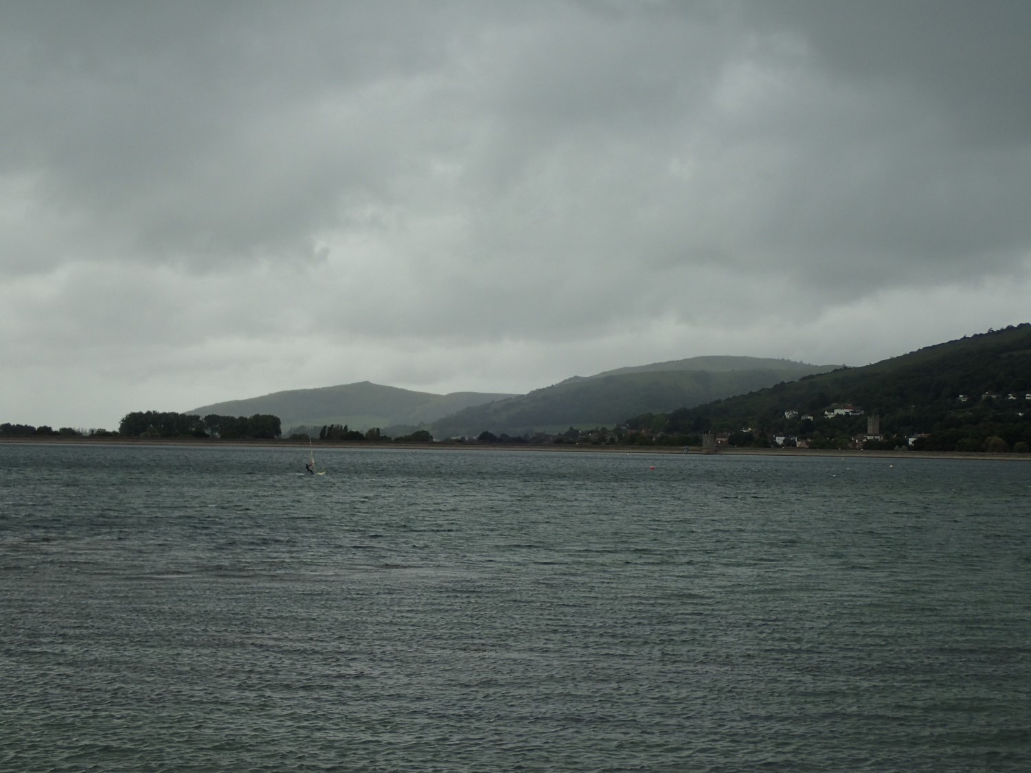
I always find this place to be surprisingly chilly. It must be the westerly wind blowing in from the coast and skimming the cool water, far below the peaks and ridge line to the north.
We would only walk a small portion of what would normally take around forty-minutes to complete a full circumnavigation. Soon returning to residential roads; we’d take a more direct route to the car park, stopping for a deserved drink in the Riverside Inn afterwards.
