Bank Holiday Monday 7th May 2018
It has been over eighteen-months since my previous visit to Exmoor; an almost equally strenuous walk that climbed to the highest point, Dunkery Beacon. At the beginning of 2017, I’d vowed to make a greater effort to explore more of Exmoor… Other intentions must’ve interrupted this ambition.

I had a good idea of where I wanted to walk on this; somewhere I’d not been before and also, not a million miles from a portion of the Exmoor Perambulation route that I followed in 2015. I decided upon a car park just east of Middle Hill on the B3223 (SS 759 451).
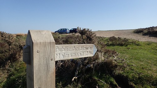
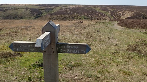
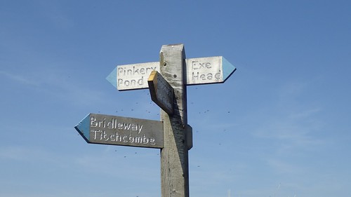
I’d managed to arrive at around 9:30; having followed the A39 west, leaving at Dunster to follow the A396 (and avoid Porlock Hill), then the B3324 heading west from Wheddon Cross and then north along the B3223 from Simonsbath (a bridleway sign helped me to identify this particular car park from the others close by.
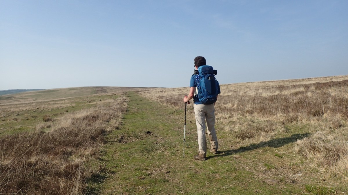
From the car next to me, a man with a similarly sized rucksack (35lt plus) would cross the road to head west, while I’d be walking eastward for the beginning of my own adventure.
Exmoor, almost like Dartmoor and the Peak District, is covered with patches of Open Access Land. But, even with this ‘right to roam’ access, the National Park rangers are keen for people to stick to the main paths where possible.
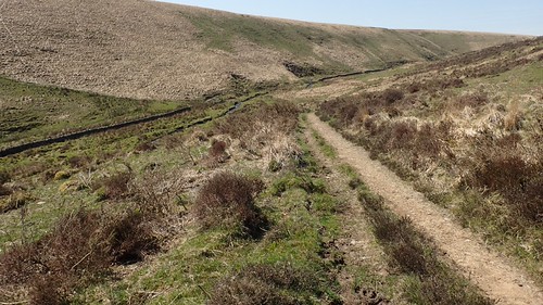
There was a brief diversion to be made before heading east. I followed the bridleway heading north-east until I met a track heading north-west. This would lead me to the road bend at Dry Bridge (and yes, I could’ve simply walked up the road).

From here, I could complete the short walk up to Shilstone Hill and one of two trig pillars I was intending to bag on this walk.
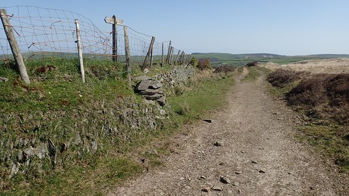
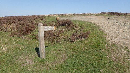
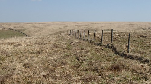
Exmoor’s expanse of open moorland is rarely as vast and easy-to-get-lost as what you may find on Dartmoor. Every now and again, you’re quite likely to encounter a boundary line (fence or wall) that you can use as a ‘handrail’. Or, even better, I bridleway complete with fingerposts.

It was by using these simple methods of navigation that I was able to quite confidently follow my own route.
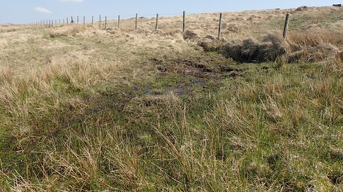
Some paths (usually marked by black dashes on the OS map) were wetter than others but I managed to avoid sinking any deeper than the thickness of my soles.
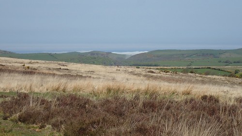
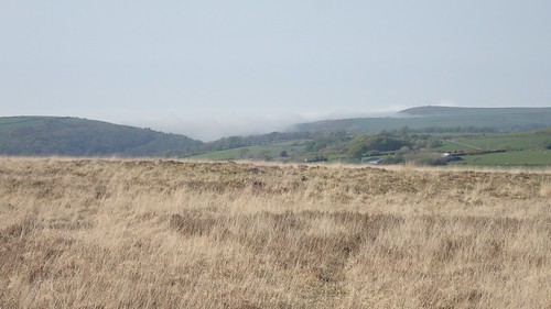
Up to the north, an eerie cloud maintained its presence in the shallow valleys of the coast to the east of Lynmouth. I thought this was quite rare, for the beginning of summer.
Having only seen other souls up on the distant hilltops, I began to descend towards Badgworthy Water; following the valley between Malmsead Hill and Great Black Hill.

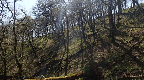
These trees, to me, looked very similar to those that covered a portion of the Quantock Hills; anywhere between Dead Woman’s Ditch and Woodlands Hill.

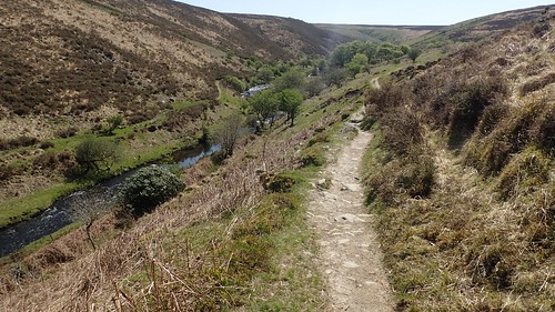
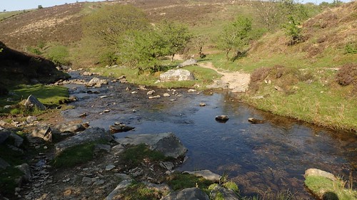
This is Badgworthy Water, in what’s known as (Lorna) Doone Country. Although quite well known, I’d not been here before and I’m not sure if I know many people who have.

Although wild camping is not permitted on Exmoor (and there is a site at Cloud Farm, just north of here), I wondered about the possibility of one day camping beside this river and only for one night. But, as I sat beside this peaceful water for my first stop of the day, I soon witnessed a number of ‘day trippers’ (I’m reluctant to say tourists) passing by in each direction.
Maybe it’s not the most idyllic or covert location for wild camping, after all.
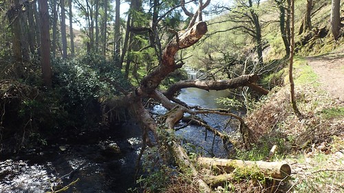
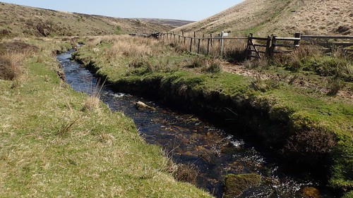
There are strange grates suspended across the river at intervals. I only recently learnt that these are a form of defence; designed to prevent drifting logs and branches from causing damage further downstream.
I wonder, do the park rangers then wade in and remove the fallen debris before it creates a dam?
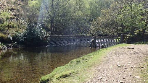
I made the mistake initially of only taking a photo of and not crossing this footbridge.
It was only when I whipped my compass out that I noticed I was heading west (to the south side of Great Black Hill), when I should’ve continued further south. It had been a surprisingly rugged route and now, I realised why.
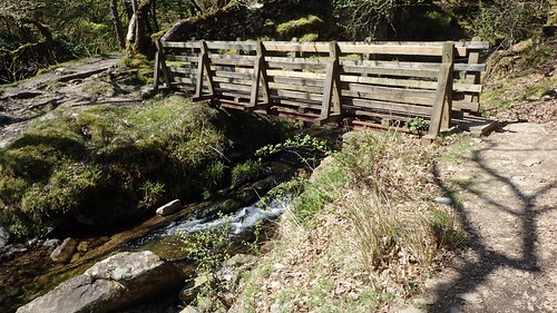
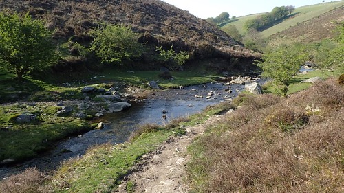
As my intended path climbed gently away from the water’s edge, I found myself looking down and spying for the crossing point that I would’ve used during the Exmoor Perambulation in 2015.
I do remember a substantial footbridge although, I couldn’t see one from this angle.
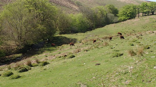
Turning west, away from the river and apparently passing the site of a medieval village, I needed to cross the water of Hoccombe Combe to the south, which would also mean negotiating this herd of cattle (I think they’re a red ruby Devonshire breed).

There were no signs for this bridleway and it’s still possible I’d not followed the route to perfection. I would’ve ended up with wet feet, either way. I was wearing waterpoof trail shoes for the first time… Waterproof until the point at which the water level breaches your ankles, that is!
I followed a desperately steep “path” up the side of this next hill. I couldn’t imagine a horse travelling this way, with large grass tussocks all over. When I did discover the actual bridleway, it was at least easy to follow.
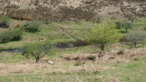
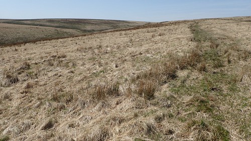
Having crossed Hoccombe Hill, this next stage of my walk involved crossing Hoccombe Water. Above, you can see my way forward; heading ‘left’ from beyond the boundary, between the green grass and the drier, pale land above it.
I’d passed a trio of walkers on the way down; each bearing a smile. I had no reason to doubt that they had also walked this way.
Surrounding the kissing gate was a bath of mud that was easily ankle deep and not to mention the flies buzzing all over. I didn’t dare attempt to reach the bottom with my right foot. This was my warning sign to ‘take a different route’ and I didn’t heed it.
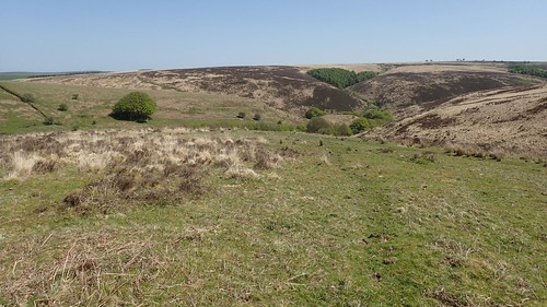
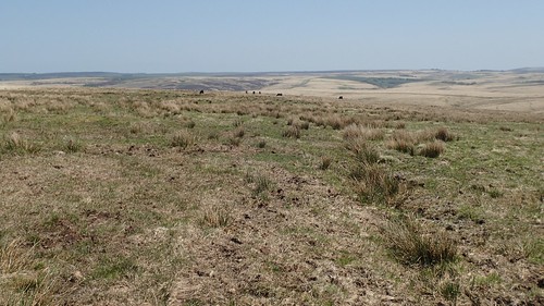
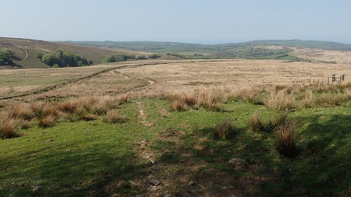
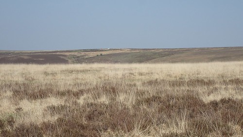
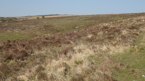
What followed was a rather bleak and barren march around, up and the hill above Lanacombe. This bridleway’s initially distinct path very quickly petered out, which the grass was very dry and thick. Not at all easy to walk along and detrimental to my pace.
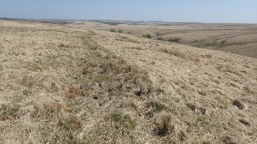
I found it was a challenge to my state of mind, with no variety to the surrounding landscape. OS Maps reckons this sub-two mile walk would’ve taken me about forty-five minutes. I could easily have spent over one hour, here.
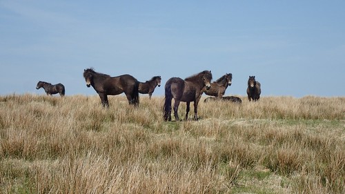
Even these ponies looked bemused, as if to say ‘No-one ever walks this way. It’s boring. Another path might’ve led you to the road by now’.
I could hear the passing cars long before I could see the road. It was torture, like being teased and, in contrast to the walk through Badgworthy and even the moorland walking preceding that, I’d not enjoyed this stage at all.
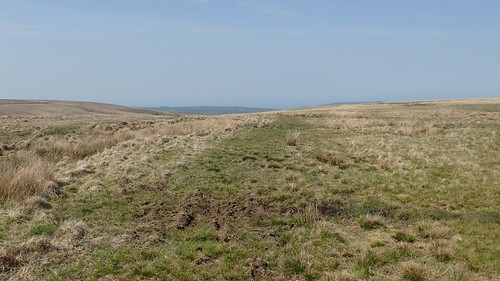
There were no clear paths across Exe Plain from here, which meant I would have to walk a good half-a-mile south along the route to continue my walk.

Lunchtime was high on my mind and, above, you can see the path I would follow along the hillside, arcing across to the right.
Following the MacMillan Way West, I crossed a junction with the Two Moors Way long-distance path (one I’d like to walk in the future) which, oddly, didn’t appear on this multiple-fingerpost. I’d hope to make a brief diversion and find the source of the River Exe but, with other people around and a sudden spurt in the flying insect population, I didn’t fancy venturing off-piste.
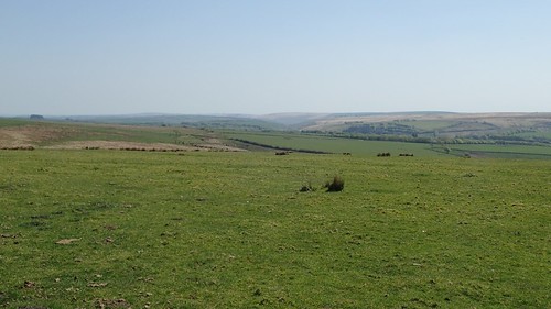
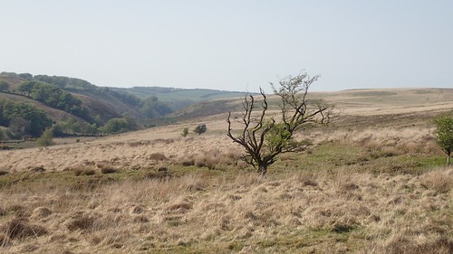
Greenery lay ahead of my views to the south. I still find it hard to compare such views to those from even halfway up your typical mountain.
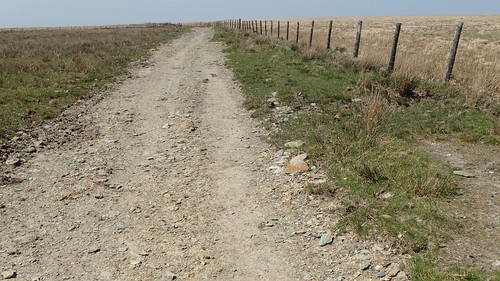
It was around this point along the dry, gravel track – notice the rough path of ground on the right – that stopped for lunch out of desperation and in defeat at the possibility of finding any idyllic spot without hiking many miles further.
I’d packed my folding WalkStool and I’m pleased I had a good reason to use it. But for the flies, who soon cottoned on to my location and spread the word; this would’ve been just fine.

Just behind a fence post, you can see the half-figure of a man who’d just crossed my path at lunchtime. This was the same guy who I’d parked next to in the morning! I don’t know if he recognised me just didn’t want to say hello but I imagine we must’ve been following a fairly similar route, albeit in the opposite direction to each other.

Immediately after lunch, there was an opportunity to bag a trig at Chains Barrow…

But the gate leading the way was surrounded by enough mud to devour a portion of my leg, with the additional layer of water on top and a disgustingly large swarm of insects all around. As these pests continued to follow me west, I could see why my “neighbour” had passed with a T-shirt around his head.

This is Pinkery Pond; just north of the Pinkery YHA Centre and very familiar to anyone who’s also walked the Exmoor Perambulation. It’s also a popular spot for wild swimming, which is why I didn’t linger on the dam or take many photos.
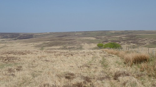
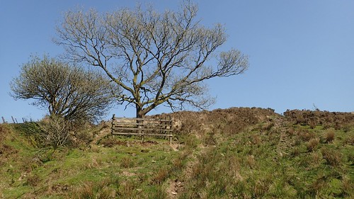
From Woodbarrow Gate, I’d continue following the bridleway heading north. That familiar ‘moorland feel’ crept in as the path beneath me became less certain and another age passed as I crossed towards the next boundary.
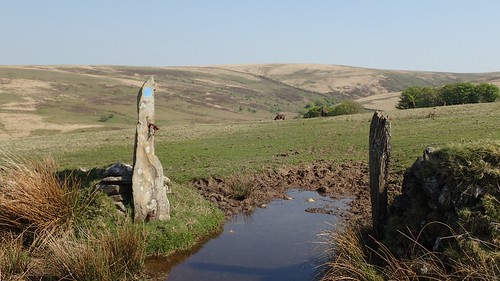
Thanks to this convenient sign, I reached Saddle Stone, which was exactly where I wanted to be. I’ve no idea whether this is The Saddle Stone.
You can see the bridleway snaking its way towards the boundary ahead.
However, I was looking to follow the end of the fence to the right and turn east, sticking to the Perambulation route that is walked en masse in June every year.
There is no bridleway or public footpath along here although, it still sits within the boundary of Open Access Land. Underfoot, it was as wet (almost up to my ankles) as I could remember from that grey day in 2015. I wouldn’t fancy walking it in the winter.
A steep drop follows ahead of the crossing of Ruckham Combe…

I can remember seeing ant-like people from the event in 2015. By contrast, I was here on this day with no-one else.

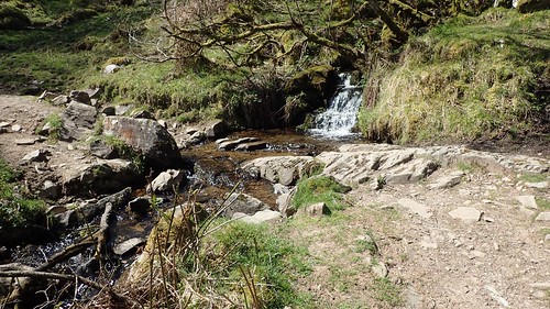
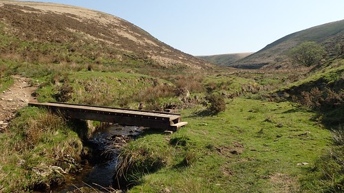
A simple board enables the relatively convenient means of crossing the water.
Huffing my way up the other side, this hadn’t felt like quite the calf-busting strain of endurance that I could remember. Maybe I was remembering the next combe?
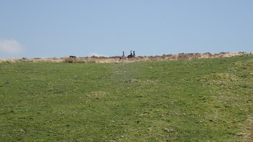
I spotted red deer on the brow ahead of me. I don’t think I’d ever seen a breed other than fallow deer in the wild, before this. I’m always impressed by their ability to notice me from a long distance off, as I don’t feel I make much noise at all.
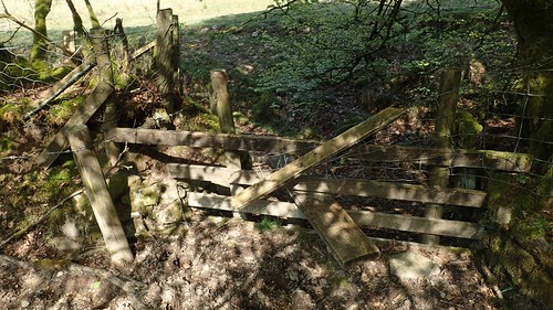
I next crossed Warcombe Water, then a stile that looked as if it had at one time been ‘fenced off’ – which is interesting, since the structure clearly serves a purpose, even if there’s no official path here, aside from the one that follows the original National Forest boundary.
Climbing away from the horses, I could see a white object (probably a transit van). Stationary. I wondered whether my car would be near… Was my end goal in sight?
I left the Perambulation route to follow the blue-marked bridleway down through Hoaroak.
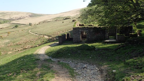
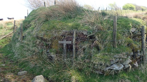
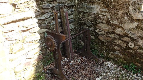
This is Hoaroak Cottage; a place that had been home to shepherds for hundreds of years. I think it’s fantastic that a detailed website has been created for this.
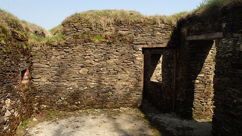
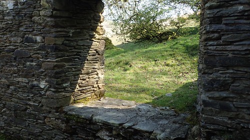

I can imagine people wild camping here, even though there were no signs of a fire.

Thankfully, I didn’t spot an ounce or graffiti or littering, either!
At this point of crossing Hoaroak Water, I met with the Two Moors Way again, while very nearly rolling over on my ankle. I’m often in favour of the belief that we don’t necessarily ‘need’ high ankle support on every walk. Although, I possibly underestimated the likely moorland terrain and survived with nothing more than a reminder.
Before I can consider walking the Two Moors Way, I’ll have to whittle a few kilograms from my current rucksack. It does look as though wild camping would be essential for the crossing of Dartmoor (without taking big diversions each evening), while Exmoor is better-served for camp sites closer to the trail. Improvements are ongoing, or so I’ve heard.
This is the Hoar Oak Tree, just as I could remember it from 2015. This is believed to have been part of a boundary of oak trees that once defined the forest from the common land of Brendon.
While the Perambulation route climbs east beside this tree, I would be turning north to continue along the Two Moors Way.

Which is occasionally marked by these ‘MW’ fingerposts. I’ve also heard that the waymarking of the route leads much to be desired at times, which one or two errors are inscribed in stone on Dartmoor.
I quite enjoyed this penultimate section, with a mostly grassy-terrain, fewer tussocks and improving views.
Blue, red and white… One of those was definitely my car! I was a bit concerned about parking in such a rural location, as I know car crime around Dartmoor has increased by more than three-hundred per cent in 2018 alone. Windows are being smashed in broad daylight as well.
Still, after all these hours, the cloud was lingering. Or had returned. I estimate this was between 16:00 and 17:00.
From the Cheriton Ridge, I would head off-piste once more and descend towards Farley Water; following an unmarked path that lead me down a slope of loose rock and towards the intended crossing point.
Now, this may be a more appropriate (although, still technically not-legal) place for a wild camp. Out of shot are several flat grassy areas beside the water. Unlike Badgworthy, I can’t imagine many people would come here, if they even know of it. It was notably devoid of animal droppings as well.
Climbing the northern slope of Pig Hill, I was closing in on the distance to my car. My “neighbour” had already departed (I wonder which way he walked back?) and a few others were present, seemingly just to smoke, chat on the phone and admire the views.
A great day’s walking on Exmoor was over. I was pleased to explored so many areas that were new to me, while also returning to a few familiar stretches of the Exmoor Perambulation. I feel less intimidated by the prospect of doing future walks here.
Distance of this walk: 17 miles
To see my route on OS Maps, please click here.
Thanks for reading.
