As you may’ve read elsewhere on social media, I have this weekend returned from spending five days and five days in the Yorkshire Dales. My first proper taste of Northern England and my first getaway for twelve months!
I’d like to share some of the highlights of that week with you now, before writing up the individual walks (all five of them) in more detail at a later date.
Base Camp
Whenever I look to go away somewhere, my first thought is to get my tent read and find a campsite. Among other more outdoorsy reasons, it is often the cheapest way to travel!
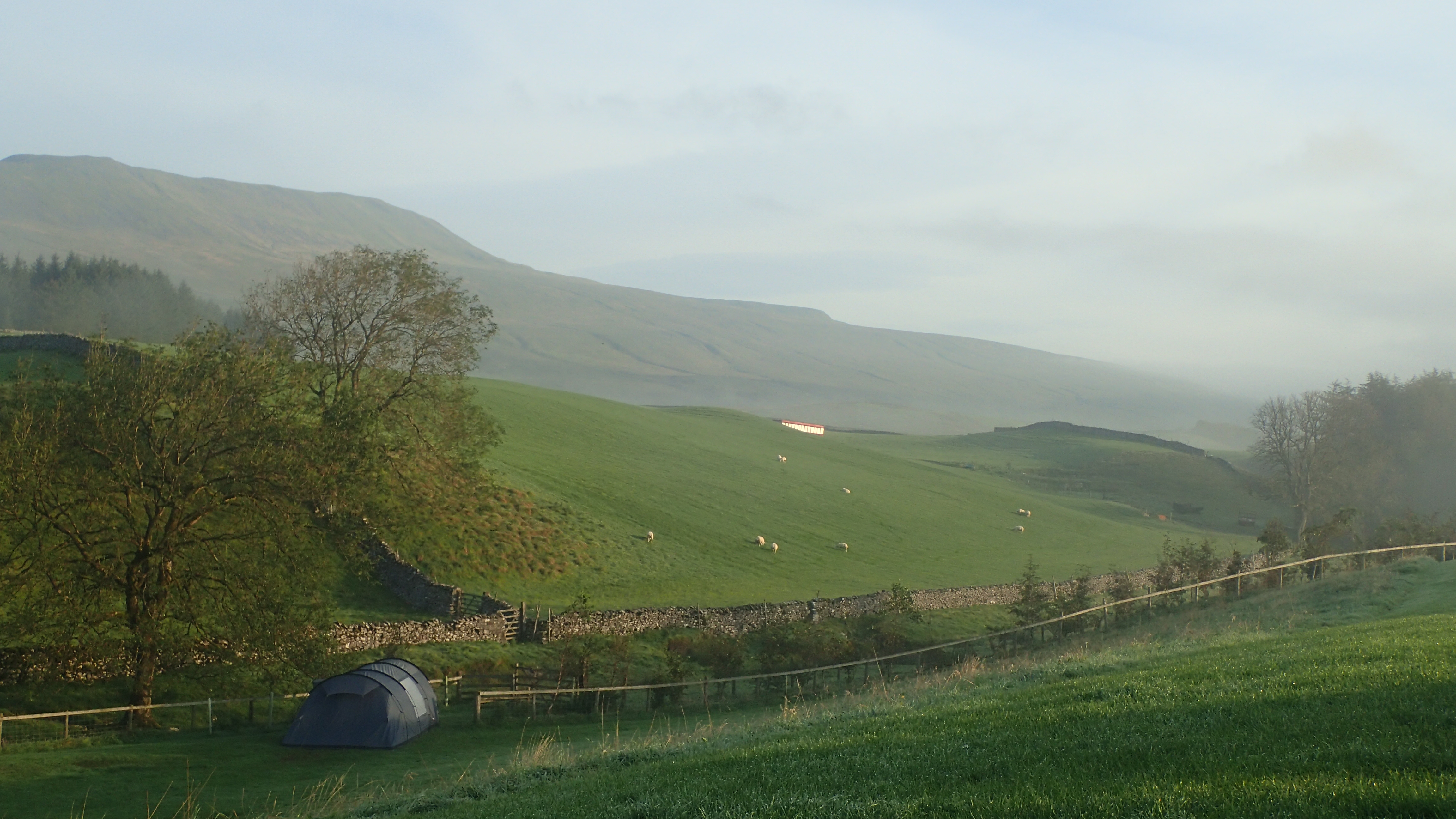
After working through a shortlist of possibilities, I settled upon Philpin Farm near Chapel-le-Dale. Nestled neatly in between Whernside, Ingleborough and right beside the Yorkshire Three Peaks route; this almost guaranteed that I could do some walking without having to use my car.
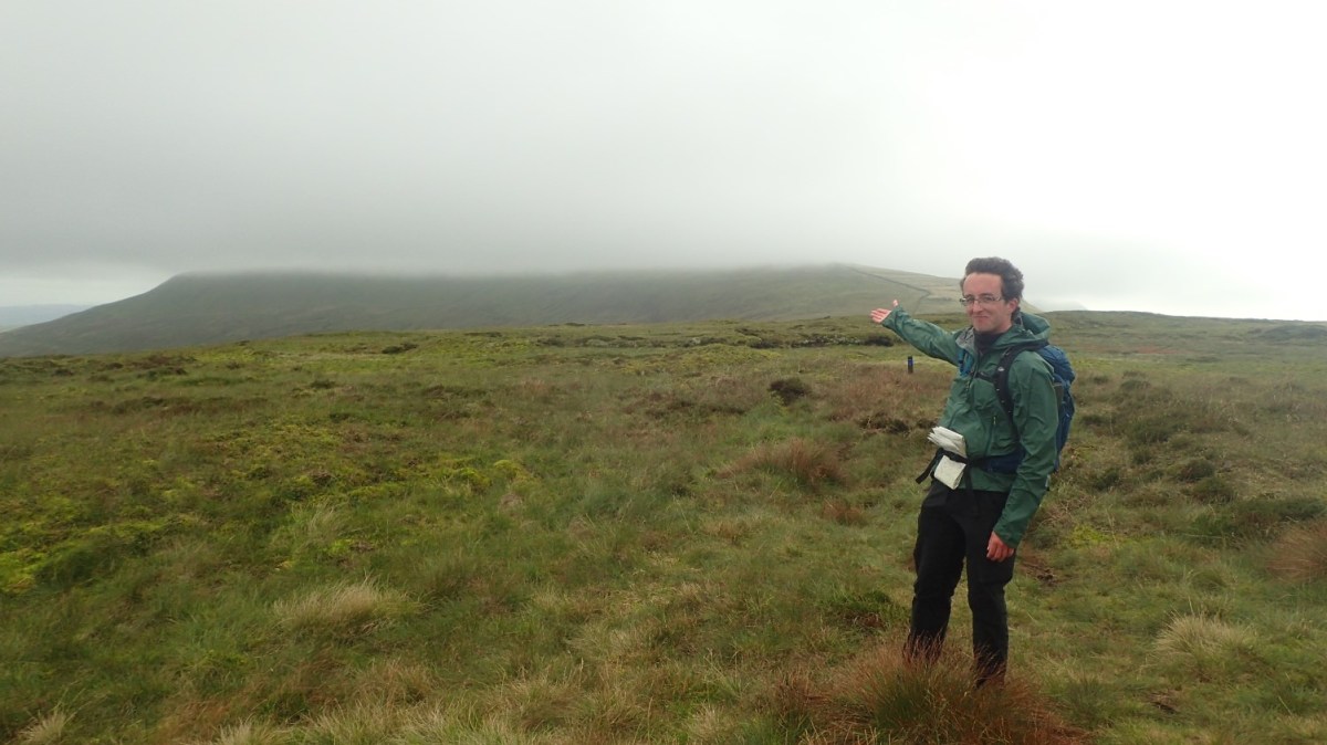
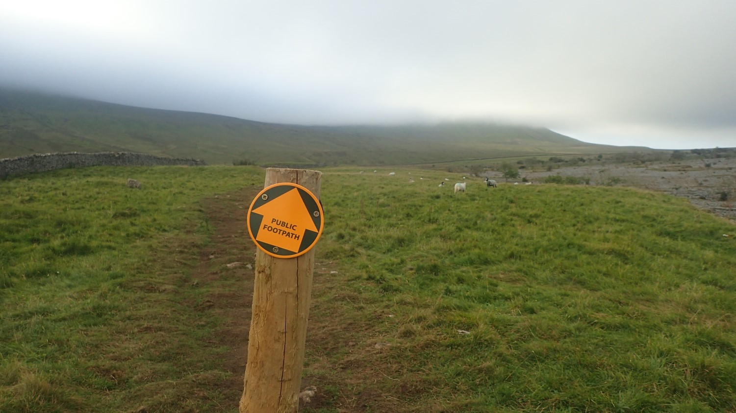
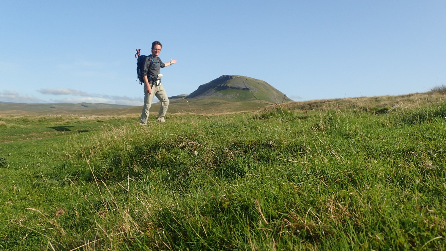
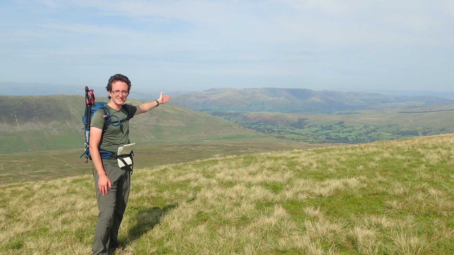
Whernside
Having not visited Yorkshire before, I was drawn to the idea of tackling each of the Three Peaks (but not going full-steam in to a twenty-five mile circuit of them all). On the morning of my first day, I was destined for Whernside – the highest of them all at 736m above sea level.
A fine introduction to the Dales! Quite busy on the way down, as I passed a number of others making their way up from Ribblehead. This little circuit was somewhere between nine and ten miles long. Not too much for a first day and I was back at my tent shortly after lunch.
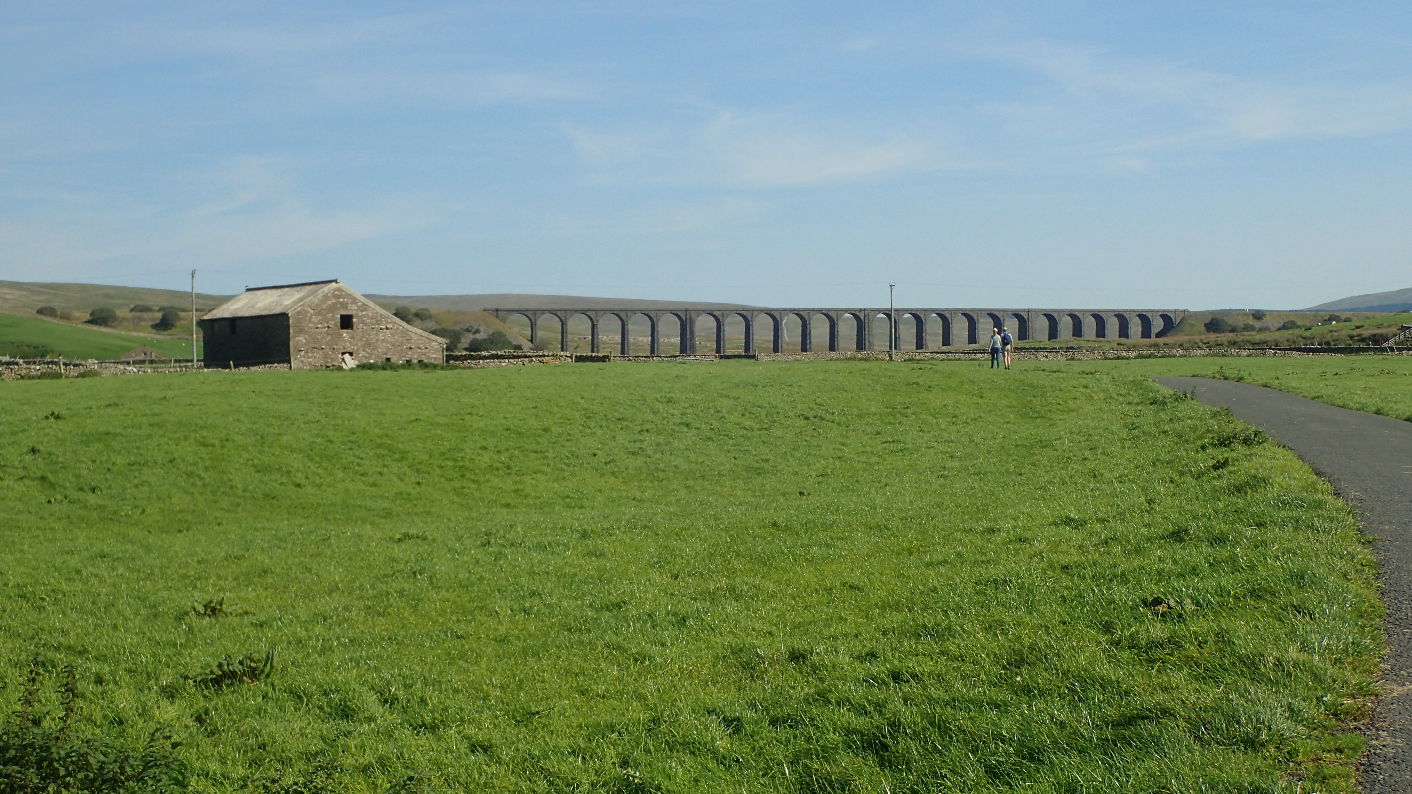
With time on my side (and good weather), I could appreciate Ribblehead Viaduct from up close and afar. A sight I’d been thinking of for several years; often adorning many celebrated photographs of these Dales.
Gragareth and Richard Man…
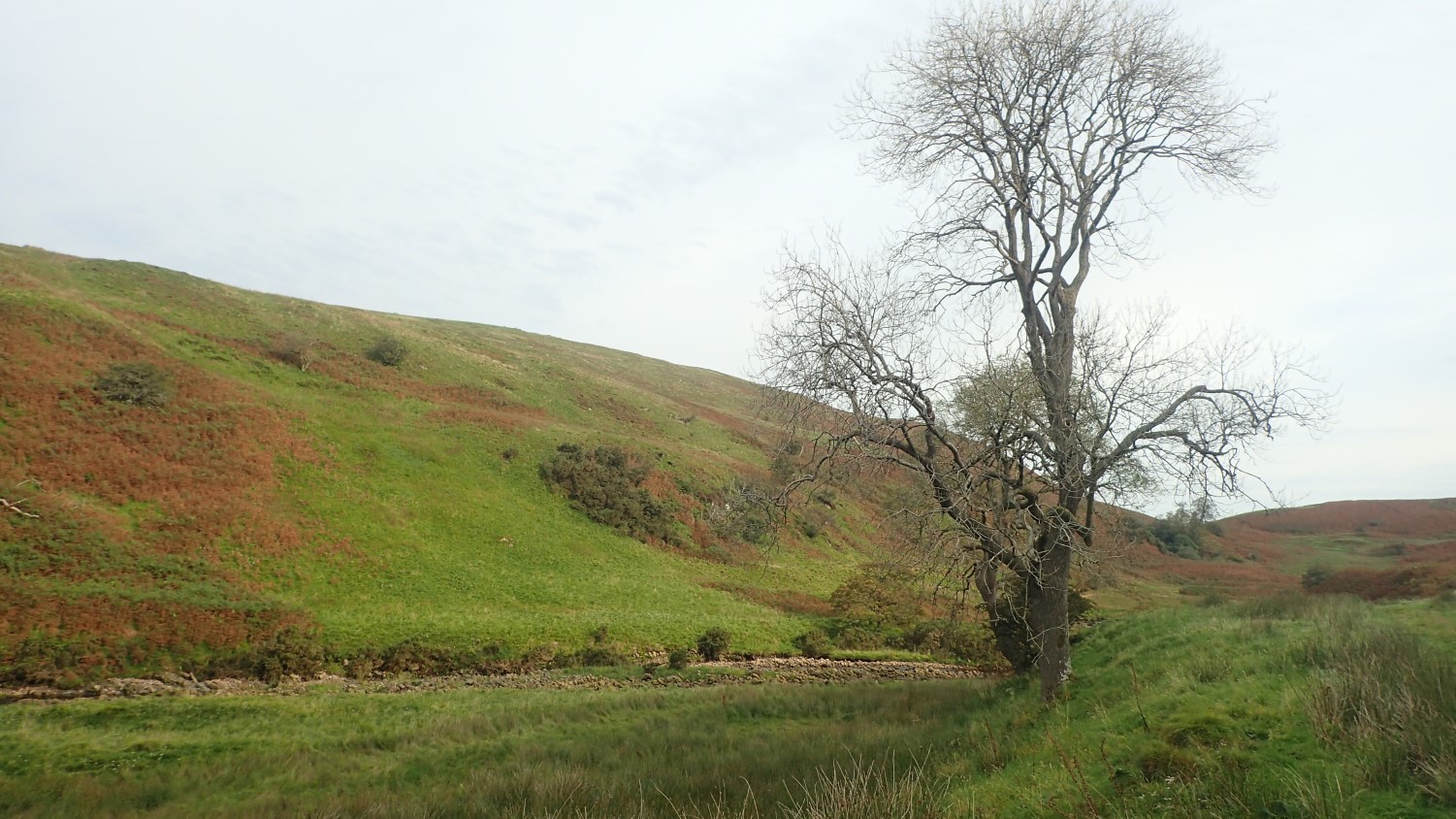
For my second day in Yorkshire, I did jump in the car and drove west (technically, in to Lancashire) for a walk in a lesser-celebrated corner of the Dales and following a route from The Walking Englishman.
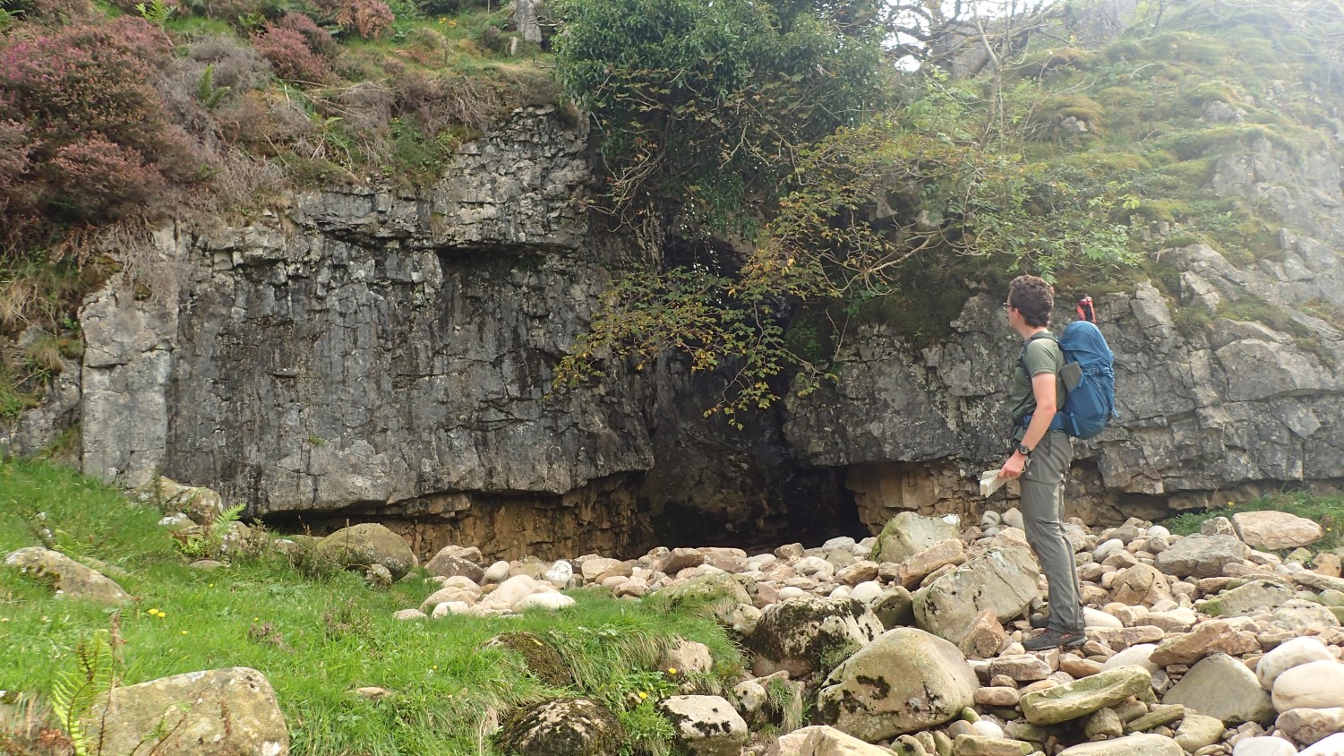
Starting in the village of Leck, I followed the Leck Beck (river) along the valley (dale) and then up to a secretive waterfall.
This route continues very much ‘off-piste’ and away from public rights of way for the next few hours; on to the pile of stones named Richard Man; up to Crag Hill and around to Gragareth (rhymes with ‘Nazareth’) on a walk where I trekked across the open moorland for almost five hours before seeing another human soul.
Ingleborough
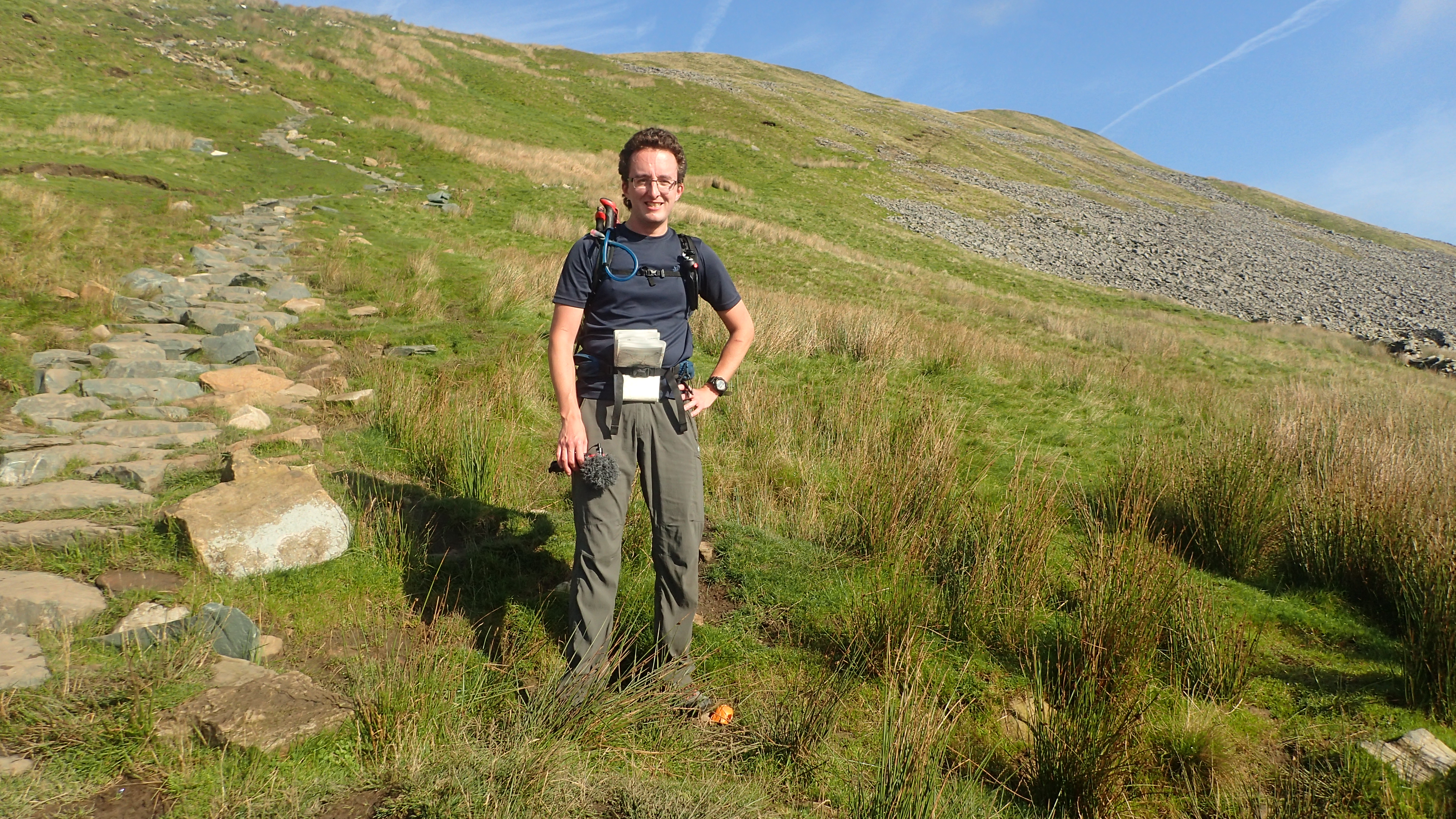
On day three, I left the car alone and headed over the B-road with my sights set on Ingleborough (or, as much as they could see, with the coating of cloud or ‘clag’ on top).
My way up involved following the diversion, where the footpath that most Three Peaks walkers has been closed for the foreseeable future, as of several weeks ago. Ahead of me – and soon, all around me – all I could see was cloud.
There was no suggestion of rain on the lonely summit but, with the lack of views, I didn’t linger for too long and descended down and around towards Clapham; from which, I would begin climbing again (after lunch).
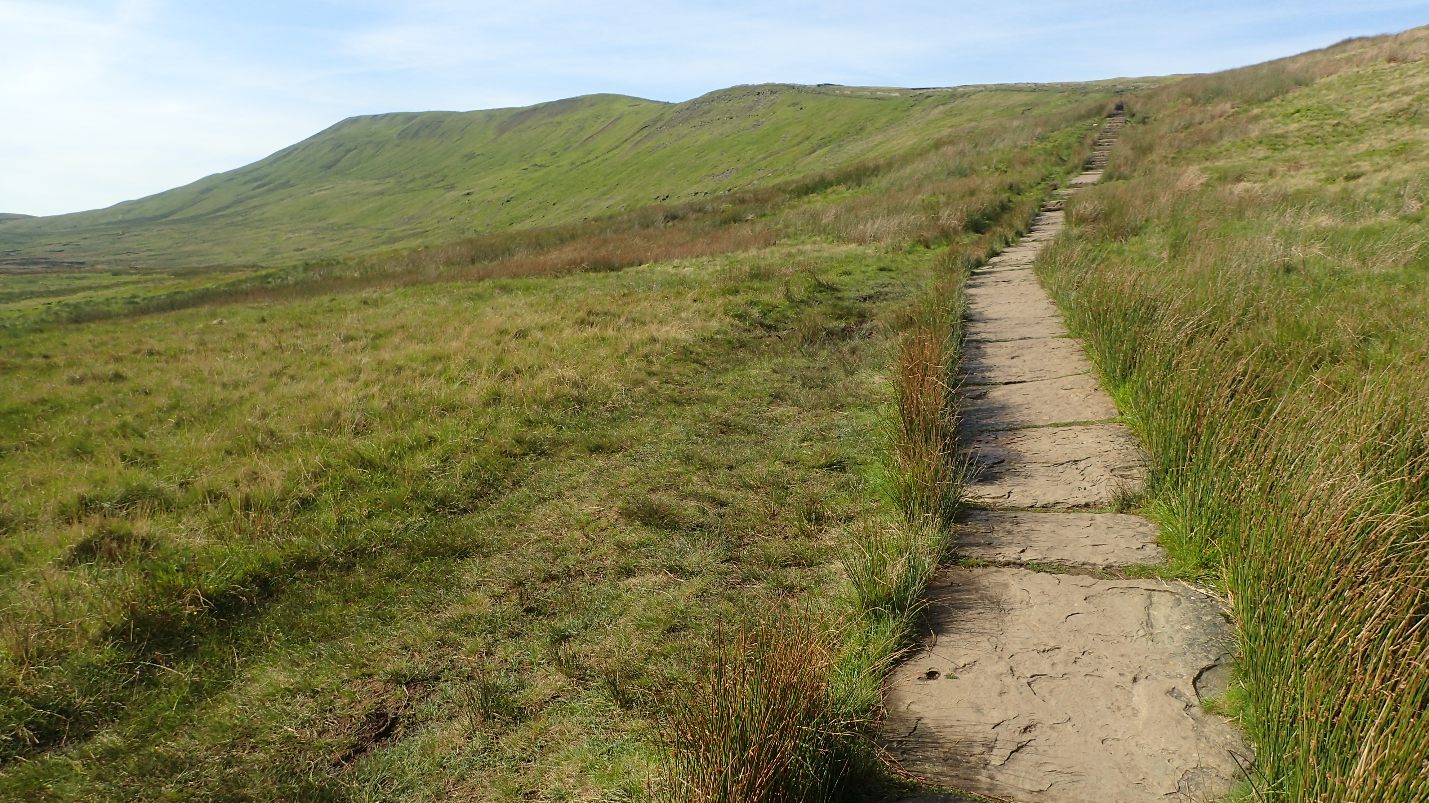
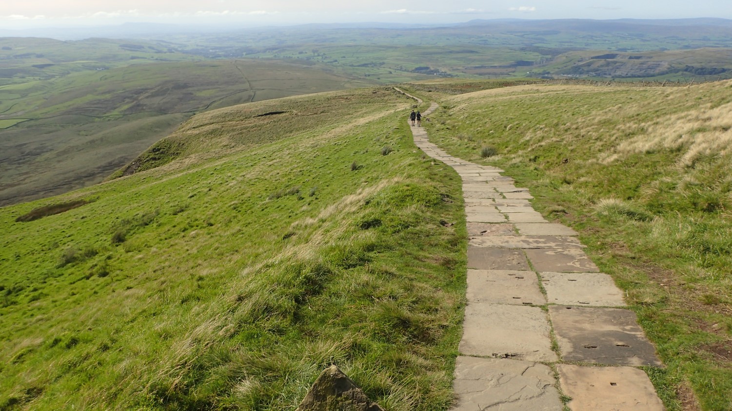
I was heading up for a second crack at the summit, along the spine of Little Ingleborough. A much busier route than the one I’d followed in the morning. I didn’t fancy another “easy” nine-to-ten mile day and this upped the scale to just over fourteen miles.

What my photos cannot share are the wind speed. It was a challenge, even talking with the few people I met near the top. In excess of 30mph, if not more. But I’m pleased to have covered TWO routes up from Ingleborough (and a third going downhill), even if the views just weren’t there.
At 724m above sea level, this is the second highest of the Yorkshire Three Peaks. I’d like to return to and do it again in better weather. Perhaps even including Whernside in the same walk.
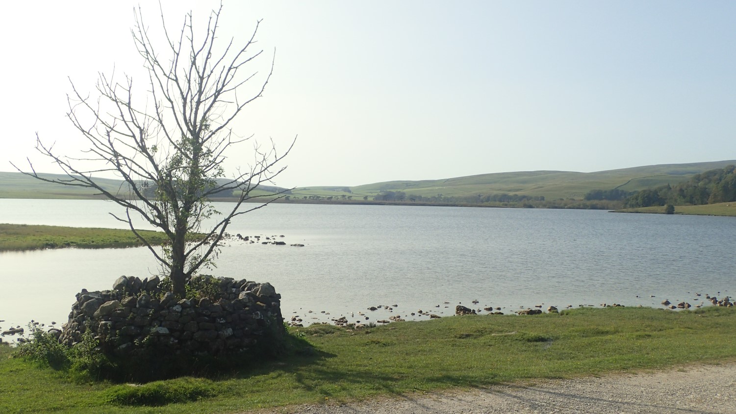
Malham Tarn

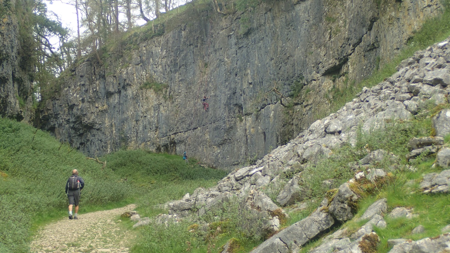
I’d been wanting to visit Malham Cove for a few years and, along with those other three summits, I knew that I would have to account for this on one day. I found a route from The Walking Englishman’s website, made my own amendments and set off from Malham Tarn.
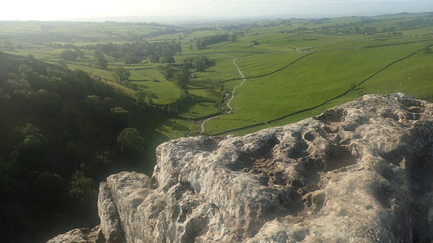
I’ll be honest and say that I didn’t full explore the cove itself, or the gully leading down to it. I might do those another time. But I didn’t want to sacrifice so much elevation early in to what would be a thirteen mile walk.
If I ever walk the Pennine Way, I’ll pass through here again (properly) anyway.
Like the Gragareth walk, this route soon went very off-piste; hugging and handrailing boundary lines; hopping across bog. Another experience of walking in solitude (except for all of the sheep).
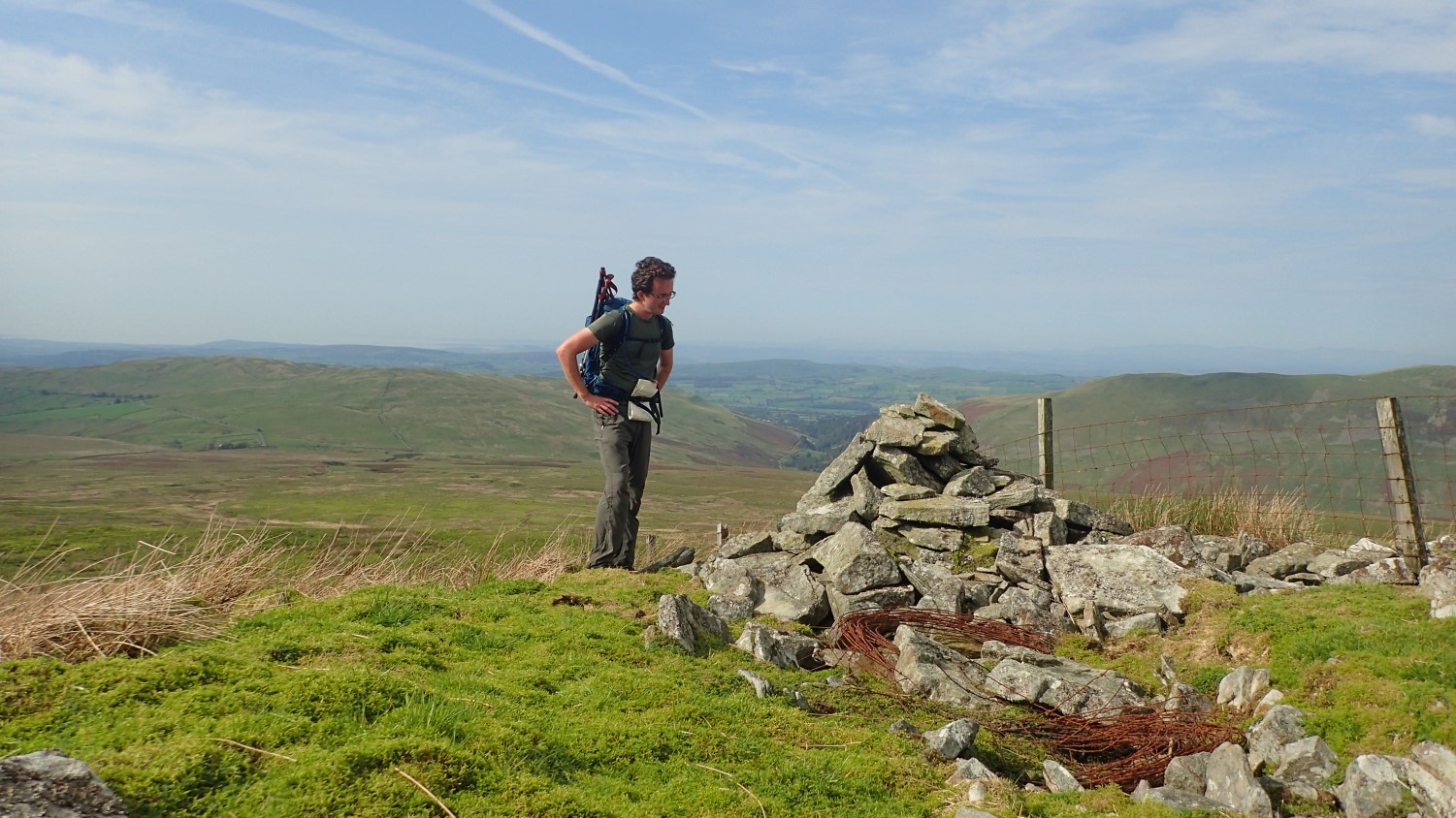
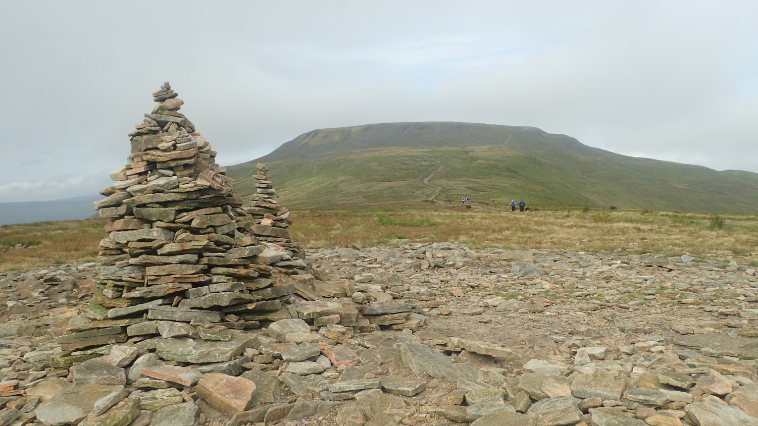
I made my way up to Fountains Fell and could almost touch Pen y Ghent… Before following the Pennine Way back to the tarn.
Pen y Ghent
This one almost got away… In the sense that I’d left it until my final day and would have to face up to the challenge after packing away and departing the campsite.
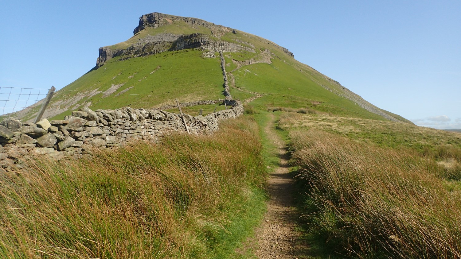
Of course, I was never really going to leave Yorkshire and begin the four-hour drive home without ticking off Pen y Ghent. Although, on the final push up to the summit from the south, the 45mph gusts tried to carry me off!
I wouldn’t usually venture so high in such conditions. But it had to be done. I feel a sense of accomplishment. My original plan had been to do a longer walk from Litton but, with the long drive home to follow, I set the cap at a sensible ten miles, starting from Horton-in-Ribblesdale.
Was it really Grim Up North?
Honestly, I’d say ninety-nine per cent of the walkers I passed were friendly. They often said ‘How do!’, ‘Hiya, pal!’ or something similar. Longer conversations were sometimes a challenge, depending on the other person’s dialect and my struggle to understand them! But not one person was unpleasant. Even the Geordie in a neighbouring tent who kept farting all night.
But in terms of the weather… While my photos show many clear days and sunny views, there was a persistent breeze from the east through the latter half of the week. It gained in intensity from Wednesday morning and didn’t relax before I left on Friday afternoon, even if it was mostly felt on higher ground. For each of my final three nights, I awoke uncomfortably in the early hours, as the wind chill had reduced the temperatures to just above freezing. But I wasn’t the only one on the site who struggled.
Roads there are generally in a better surface state than those I know closer to home around North Somerset. It was a long drive up (and then down) the M6 but navigation was generally easy (except in trying to reach Malham Tarn). Some conveniences, like petrol stations, may be few and far between, where I stayed. Although I was some distance from the nearest town or city.
‘The Lakes’…
In planning for this week away, I could’ve gone to the Lake District (somewhere I’ve still not been). I imagined the Yorkshire Dales would be less busy and… I think I made the right call, there. It was odd though, being only an eighteen-mile drive from Kendal. I consider Bristol to be close to where I live (Weston-super-Mare) but that’s still twenty-miles up the M5!
I’ll get there one day. Possibly in 2021. I hold no regrets whatsoever about postponing my Cleveland Way trek in favour of this.
If you can give yourself the time and opportunity, I strongly recommend visiting and exploring the Yorkshire Dales. There’s so much more than I haven’t even glimpsed.

All in all Olly looks like you had a well worth trip to the Dales.
Kendal and Shap Fells definitely put it on the list of places to go next time!
Good luck and happy travelling!
LikeLiked by 1 person