Sunday 4th September 2022
A walk from the Walk West series of e-books and one that would take place seven days ahead of my first trip north to the Lake District.

I took a short drive across the Severn Bridge and on to the fringe of South Wales. Portskewett was a small village I’d barely heard of. I knew it’s name mostly from having had this walk in mind for several years. I turned off the motorway, heading towards Caldicot and then to the Black Rock car park, from which I would begin my walk.
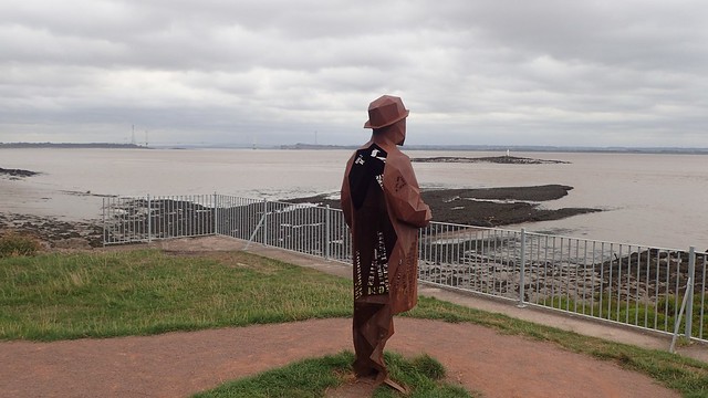
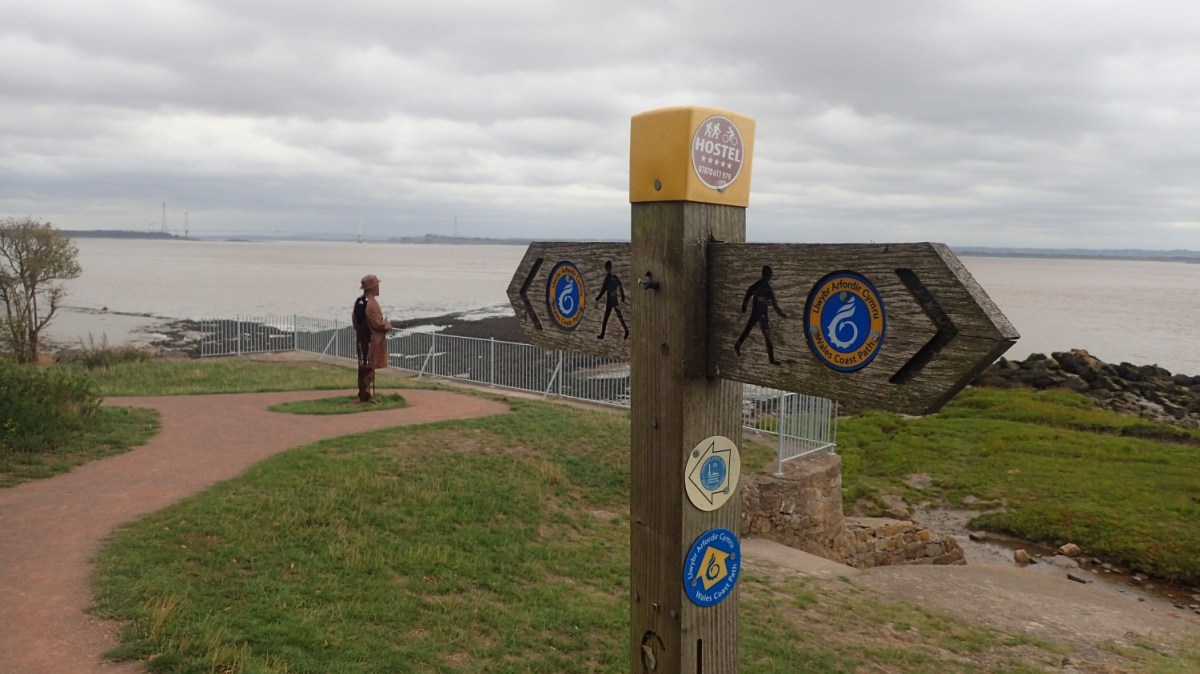
I joined the Wales Coast Path almost immediately, spied this fellow looking out to sea and wandered over for a chat…

He didn’t have much to say verbally but there is a history to this section of the coast.


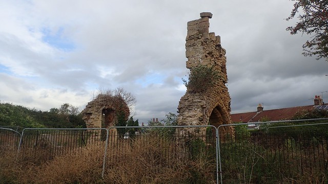
I began walking the coast path towards Sudbrook, where I passed this fellow, hard at work.


As I continued through Sudbrook, I crossed a point at which the Severn Tunnel runs underground, carrying train passengers between South Wales and England. There’s a also a museum of the tunnel close by.

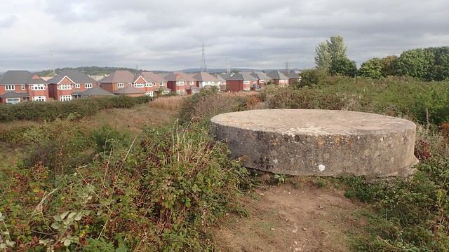
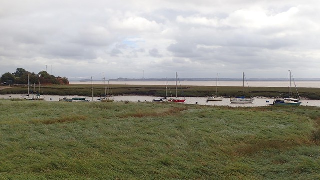
I continued to follow the coast path around Sudbrook Point and across an area of land that was once the site of an Iron Age hillfort.


I was now heading towards the M4 motorway; that very same route that have carried me across the Severn in my car.

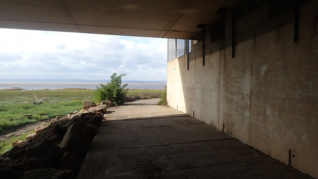
My walk passed beneath the motorway with ease and I’d soon cross a lady, sat to one side of the footpath, taking in the scene of the Bristol Channel ahead.

Across the other side, I was now walking beneath and beside the motorway, along a strip of concrete that I’ve driven past many times over the years. I’d seen the odd person walking along it and wondered what it might be like to do the same.

There’s a point at which the Wales Coast Path turns inland, crossing the M4 towards Caldicot and Rogiet Moor. But a public right of way exists going forwards… I had every intention of following this, sticking close to the coast and bagging a trig point on the edge of Caldicot Moor.
But I could see the red flags flying further ahead, along with the occasional sounds of gunshot. A firing range interrupted my hopes of getting to that trig pillar. So, I soldiered on over the motorway.


Again, crossing the railway line from England, far beneath me but visible from here continuing west.

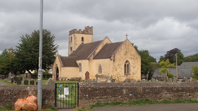
From the outskirts of Caldicot, I walked a pedestrian path back towards Portskewett.


Then I stumbled upon this beautiful space created for the local community. Completely unexpected.


I took a seat on one of the benches beside the path and had something to eat. It was mid-morning and this was one of those walks where I’d set out early with the intention of returning home in time for lunch and then, having a quiet afternoon to myself.
While I rested, the lady I’d passed near the M4 caught up, recognised me and asked about my walk before continuing on her way.

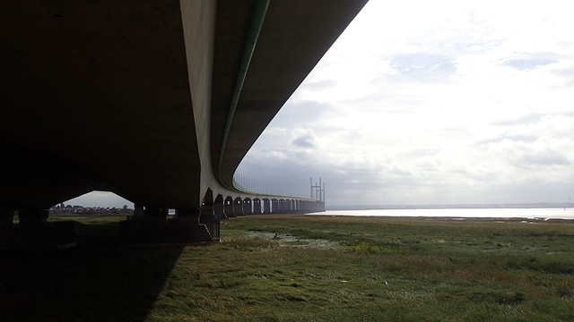
That Second Severn Crossing was often in view throughout this short walk.

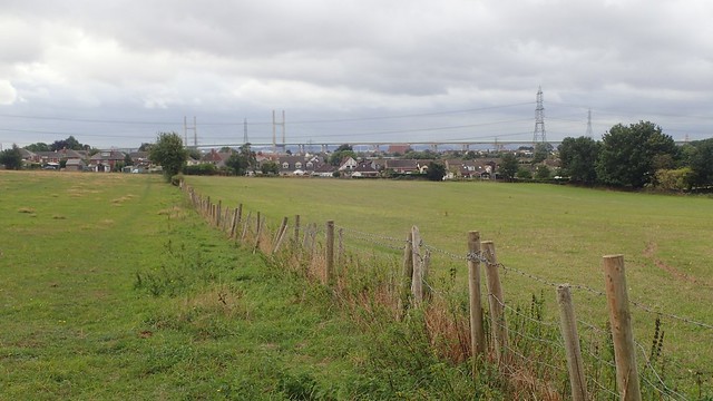
I crossed one field with a visible standing stone on top of the hill. According to my OS Map, this is the site of a long barrow. But as the land is otherwise private, away from the public right of way, I had no right to wander any closer and explore for myself.

This was the start of a footpath from the road near Cropthorne Farm. There was no sign to indicate a public right of way and you can see the chain around one end of the gate. But I was confident in my map-reading abilities.

This was the correct path. But it was terribly overgrown and uncomfortable to bash through, even in full length trousers. Waymarking did exist a bit further on. I followed the power lines overheard for guidance.


Eventually, I rejoined the coastal path as I crossed another railway running to and from Chepstow, parallel to the coast.

Soon enough, I was back where my day had started and ready to head home. A fairly pleasant walk and one I’d have probably not dreamt up, without having found the route, with thanks to the author, Geoff Mullett.
Length of this walk = 6.85 miles
Thanks for reading.
