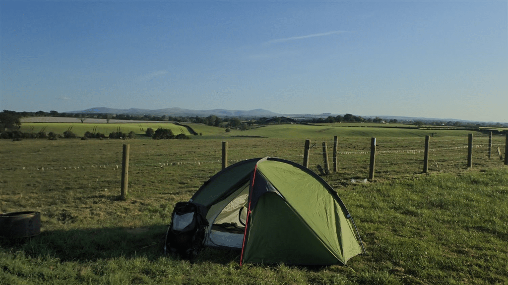
Wednesday 21st May 2025
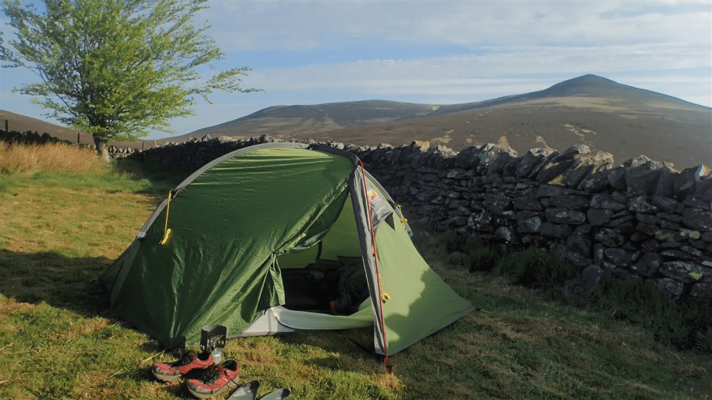
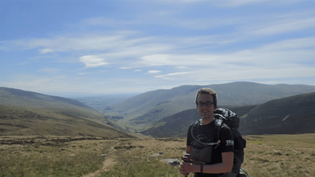
I emerged from my tent on this morning, with a view of an almighty Skiddaw beyond the dry-stone wall. Blue sky for the most part, sun already shining. A youth hostel with all facilities behind me. This was going to be a good start to my penultimate following this trail.
I think I wrote something previously, with my own perception of other guests inside the hostel taking a ‘disliking’ towards me. This was something I felt as I entered through the front door… An ill feeling as it I had been obligated to have spent my evening with them, away from the confines of my own tent.
Of course, this could entirely be my own interpretation.
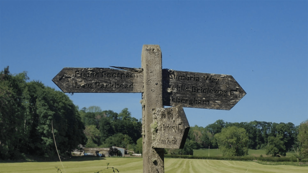
I usually like to be up and away by 8am when backpacking like this. I hadn’t intended for just about everyone else inside the hostel, to have departed before me! I think it was closer to 9am, by the time I rejoined the Cumbria Way.
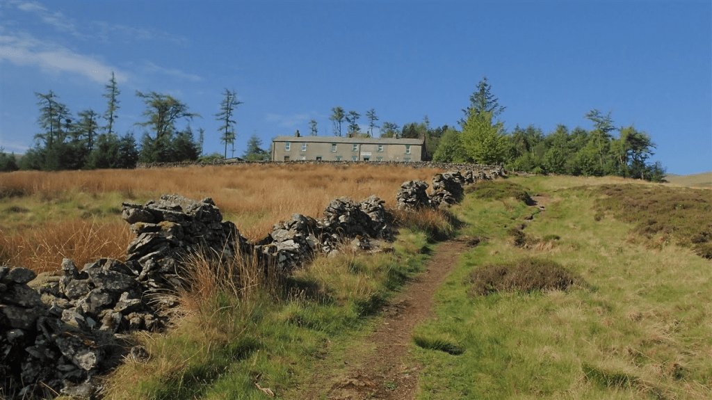
Shoes on and I was soon leaving Skiddaw YHA on the hill behind. Taking the ‘higher route’, of course, keeping to the right of Great Calva.
I wouldn’t be against the idea of returning one day to walk the ‘lower’ option of the Cumbria Way, also tying in a visit to the summit of Skiddaw and possibly other fells nearby.
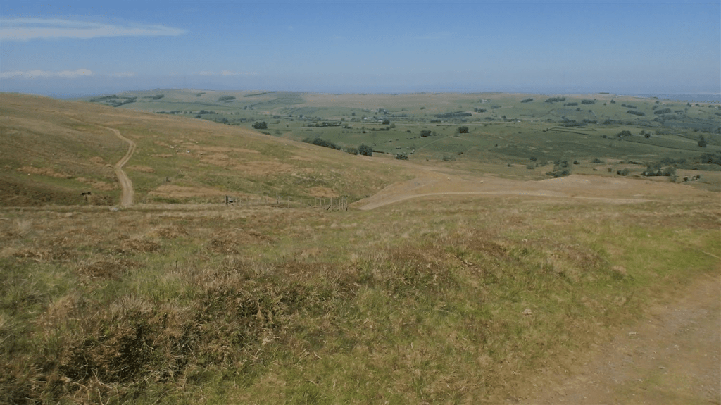
Instantly, I was beginning to sacrifice much of the elevation I’d fought to gain through that downpour, the previous afternoon.
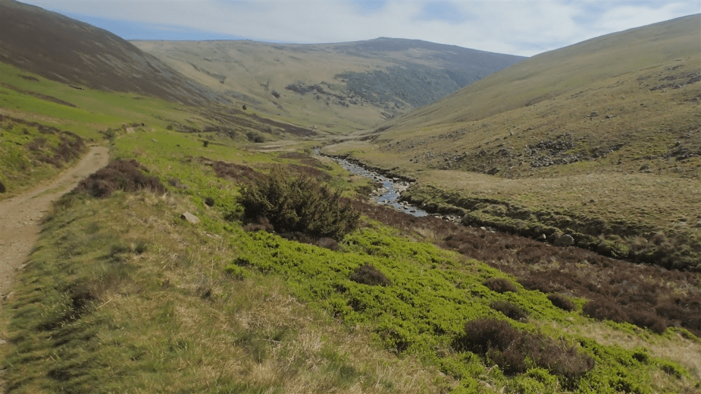
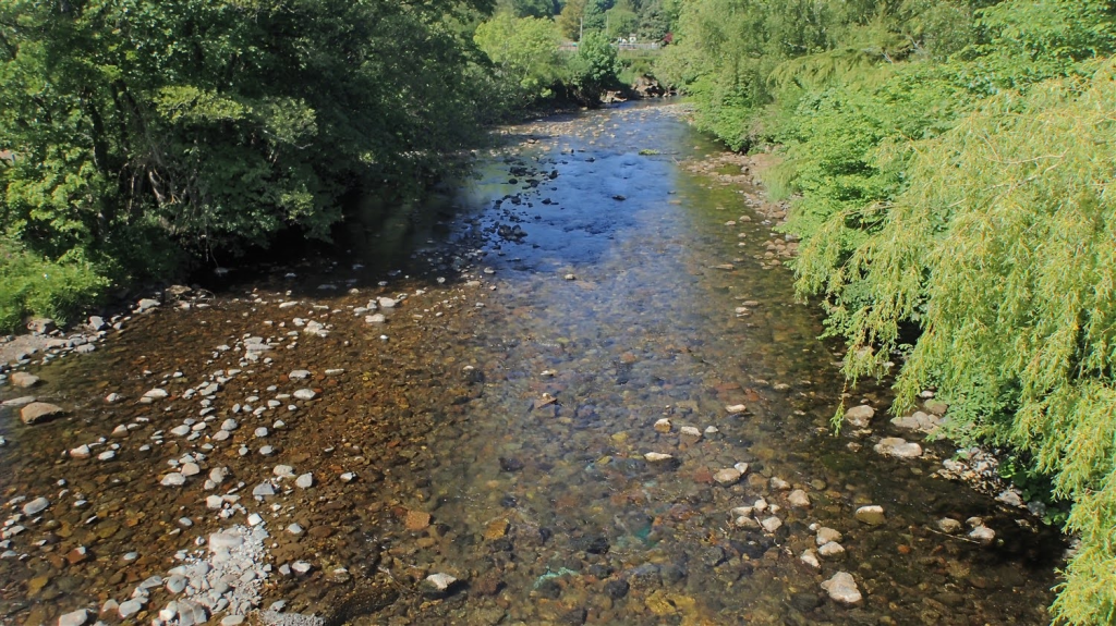
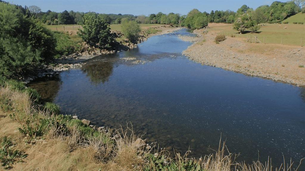
There was soon a river down to the right, which would act as my guide for this morning – another recurring theme of the Cumbria Way.
Further along, I saw two guys either enjoying a break, collecting water or both. I wasn’t quite certain. But I had seem them walk right past the hostel grounds as I was pitching up.
Down in this valley, the humidity was already increasing. No respite from the rising sun above. Water, a precious natural from another river that appeared to be closer to running dry than I imagine was normal for this time of year.
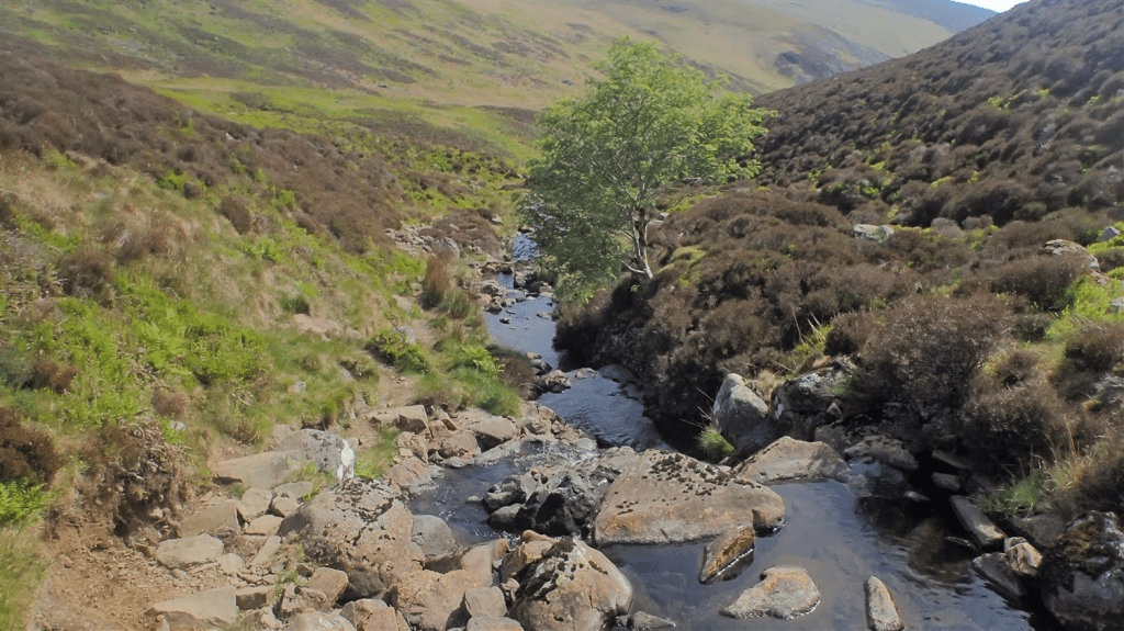
At a junction where I met Grainsgill Beck, which I’d now following gaining height again, after a left turn; I met Joss, who’d set off from the hostel before me. At first, I assumed she was taking a morning break. Then she told me about the blisters.
She was wearing a fairly new pair of barefoot-style footwear. If you’re not familiar with these, I might make a separate post talking about them as I’ve been converted to them for several years.
But the impression I’d felt from Joss was that she’d not full transitioned in to these boots… Along the Cumbria Way, the terrain can also be quite dry and hard on your feet. Even if you’re sleeping in a bed each night, you’ll no doubt be carrying more weight on your back than usual, with extra clothing and food for several days.
We talked a bit and there wasn’t a lot that I could offer. She was already equipped with blister plasters and… There was only so much relief that they could offer. She ushered me on. I hope she was able to complete the Cumbria Way – or at least finish her day.
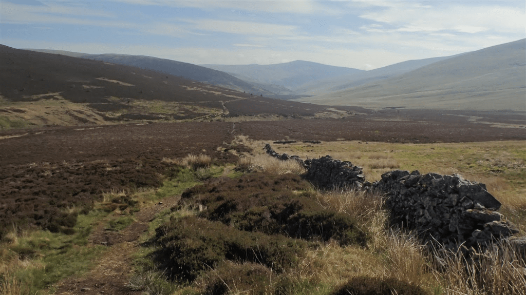
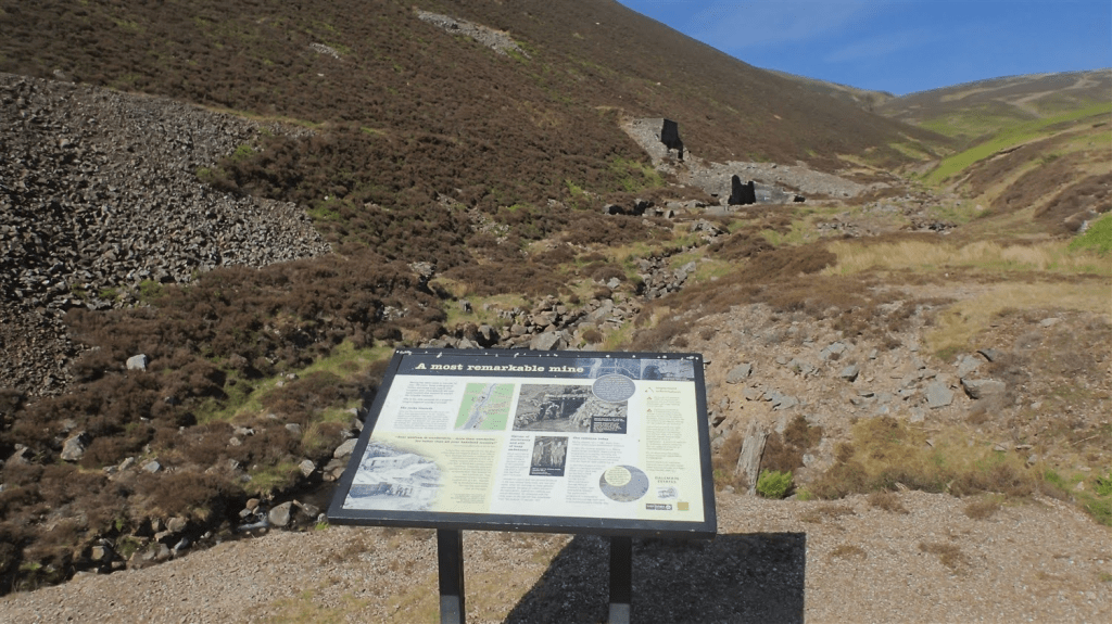
Continuing uphill, I soon passed the remains of a former mineworks at Carrock. According to the sign, this was the only example of a tungsten mine in the UK, outside of Cornwall. A staggering fact, I thought. Two locations. Hundreds of miles apart. Where slate, limestone and others can be found all over.
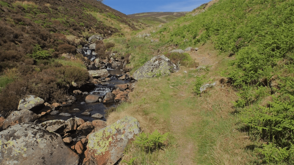
Then, the walk got interesting, with the beck to my left-hand side. With greenery around me and the water, only one wrong step away from my own direction.
This section was unexpectedly challenging. No fingerposts of waymarks. I path that rises and falls, twists and turns. Crosses outlets, sometimes wet. Keep the river to your left. Focus on the sounds of rushing water. Keep hiking and, eventually, you’ll get there.
Beautiful. But it was far from easy.
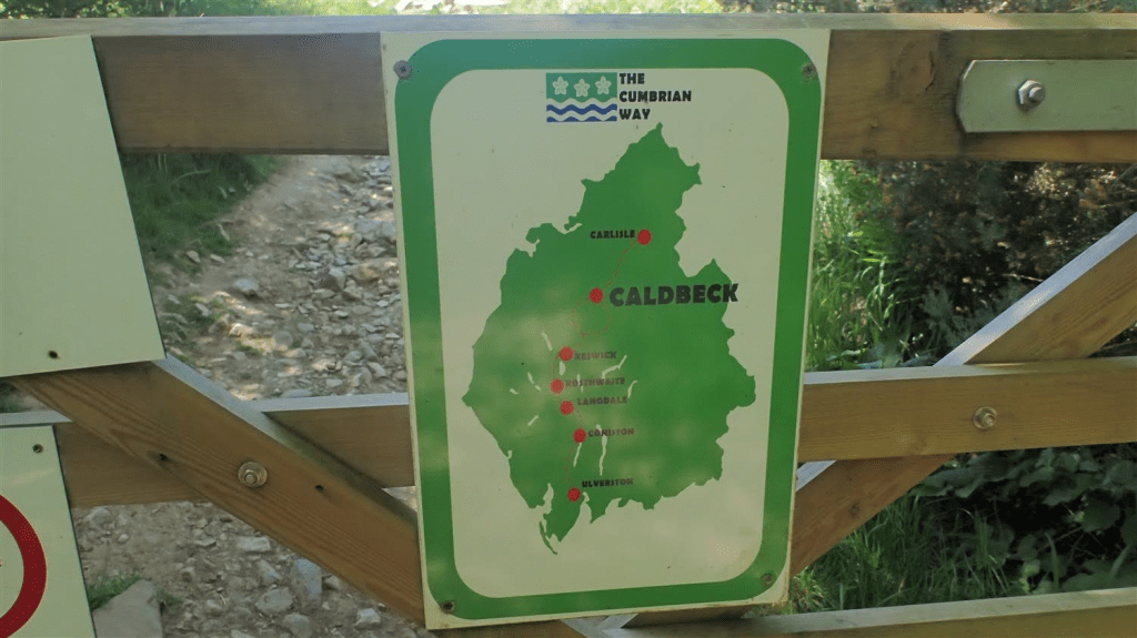
I hadn’t mentioned already… But this was going to be another 20 mile day! Most others were walking as far as Caldbeck – the next village, perhaps only 10 miles from Skiddaw House. But as I said in my previous post; I’d favoured a more immediate finale for Day 5. I wanted to get all the way to Dalston; a morning’s walk away from Carlisle.
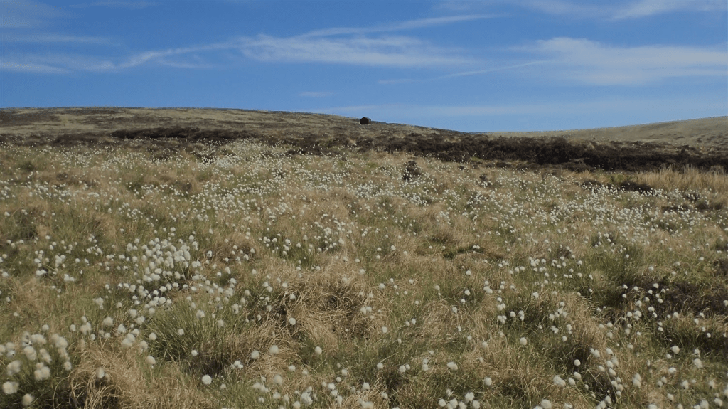
As you turn in and away from the water’s edge, the land is adorn with cottongrass. A near-certain sign of peat and many years of slow decay. Thoughts turn to putting a foot wrong and finding myself up in my armpits in a bog.
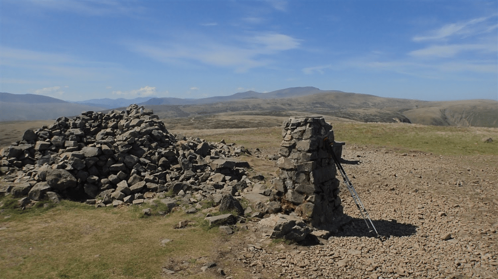
But beyond that, I could see Lingy Hut. It’s marked on the OS map (although not named) and Joss had told me of it. Nick had commented on how the structure has guy lines to keep it from being whisked away in the wind, like a tent.
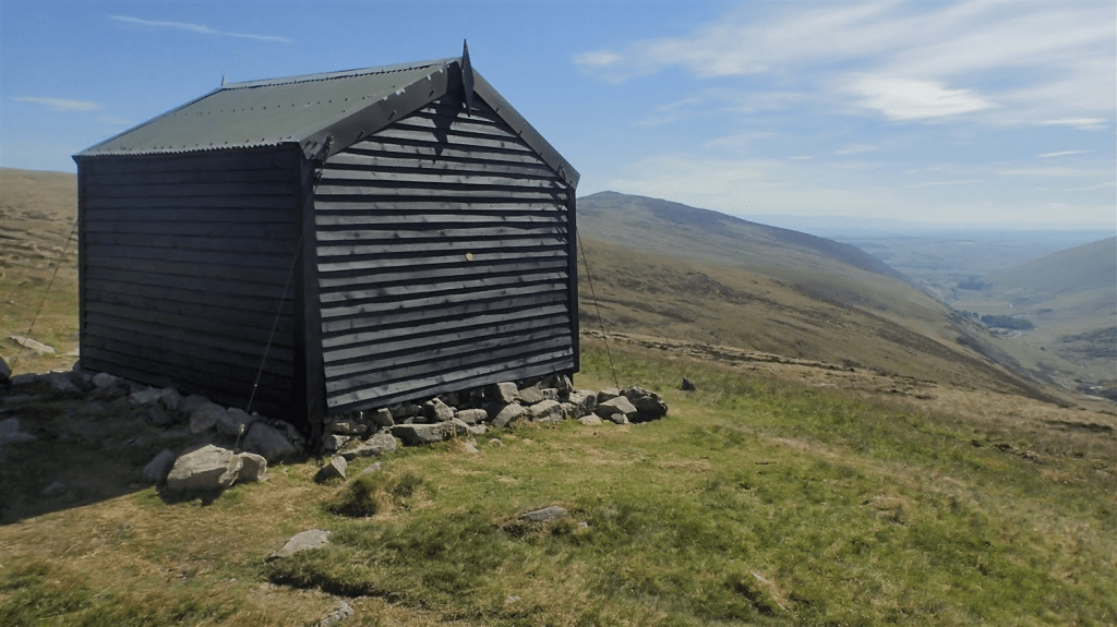
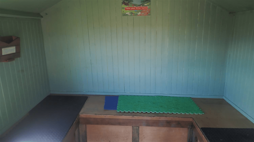
There’s space inside for perhaps three sleepers, if you know each other well!
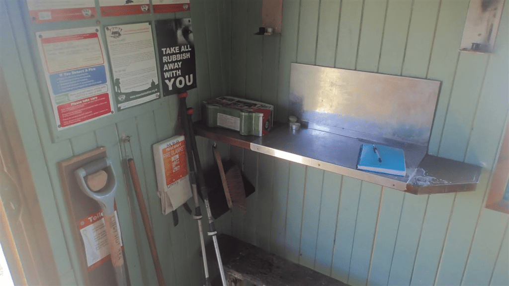
This shelter is cared for by the Mountain Bothies Association and everyone who visits or spends the night in need. I deeply regret forgetting to leave my name in the guestbook, upon passing through.
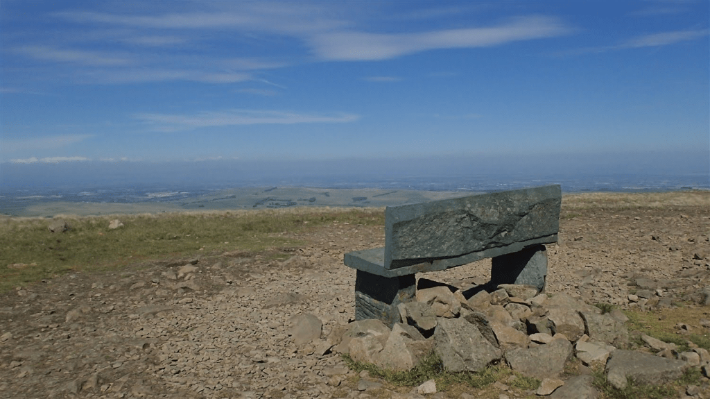
I used the window sill as a tripod before moving on, with my first and only Wainwright of the Cumbria Way, almost in my sights.
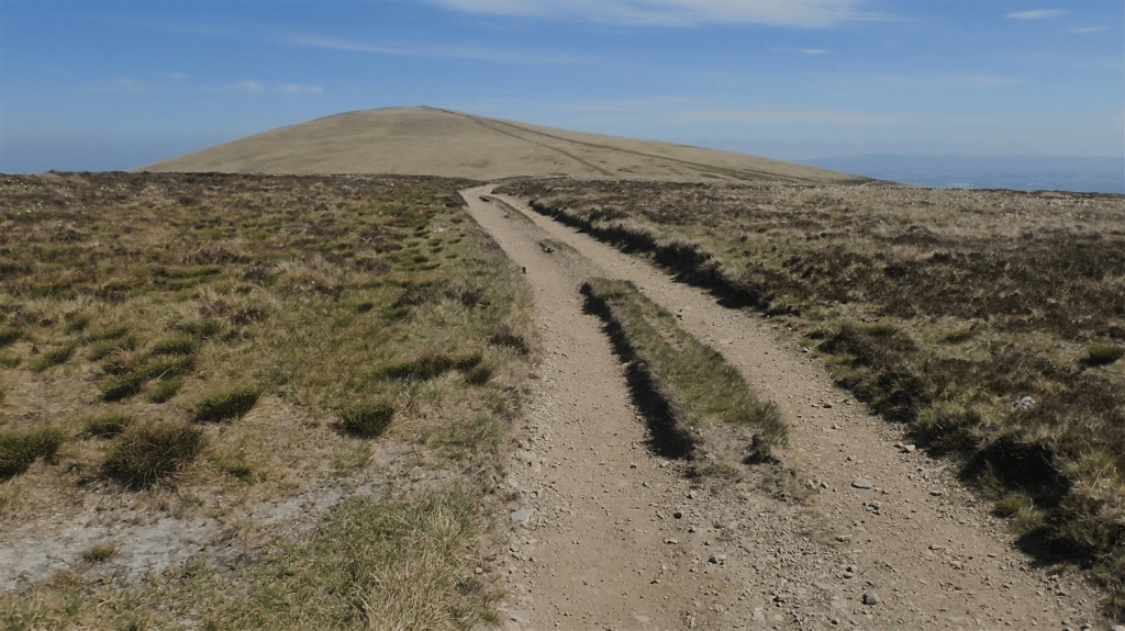
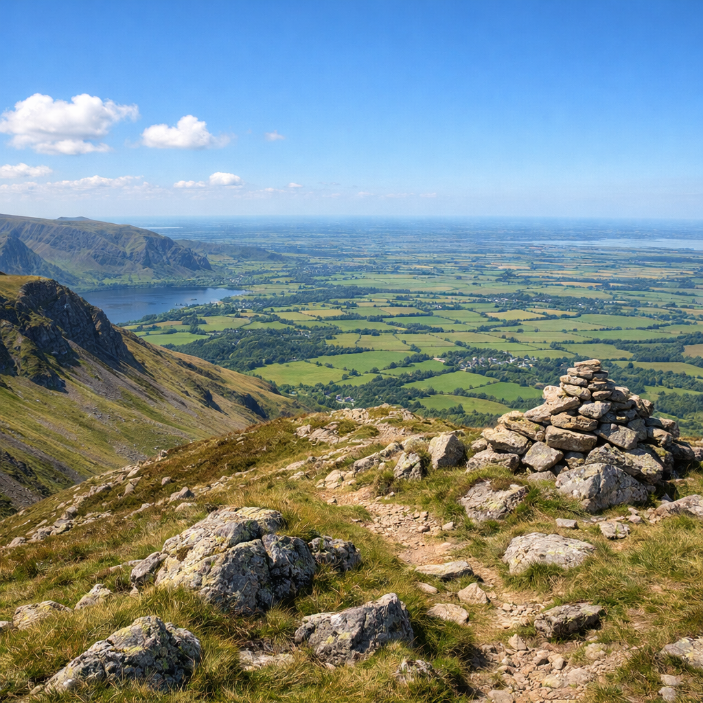
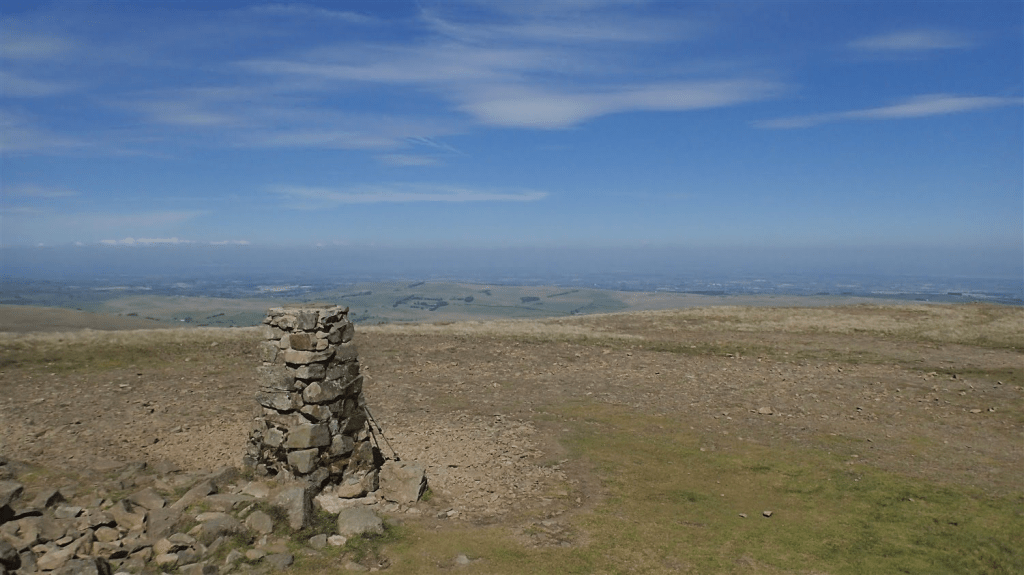
Once you cross Hare Stones, you’re only you’re way to the final ascent of the Cumbria Way. High Pike is also the highest point of the route and, naturally, the western route around the other side of Great Calva, doesn’t come close to it.
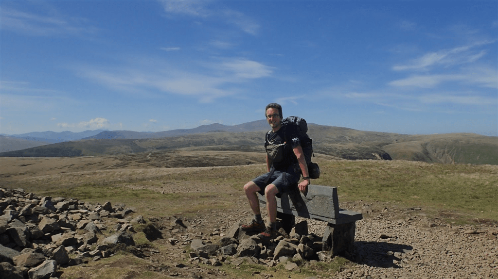
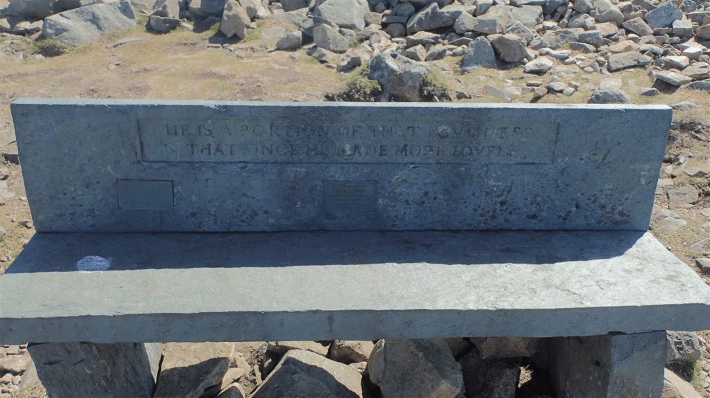
There was another couple on the bench as I arrived. I waited patiently for them to move on, before I’d take most of my own photos and then, take a well deserved seat on that bench for myself.
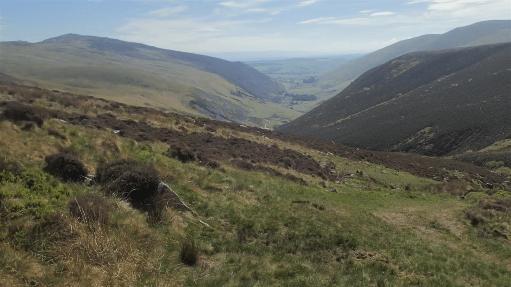
At 658m above sea level, of course, the views were excellent all round. I could look back and around me, to some of the greater fells in the northern half of the Lake District. I was also fortunate to have arrived here on this day and not twenty-four hours earlier.
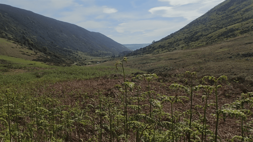
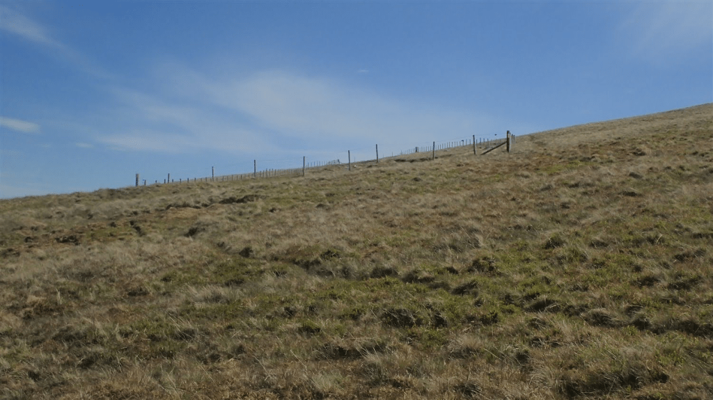
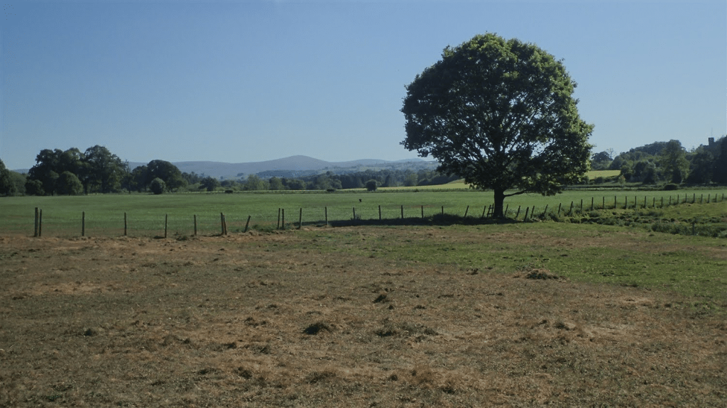
Beyond here, the land is comparatively flat, compared to what I had known over the past four days. At the end of the imminent descent, Caldbeck and the northern boundary of the Lake District. I was about to leave probably England’s most-celebrated National Park.
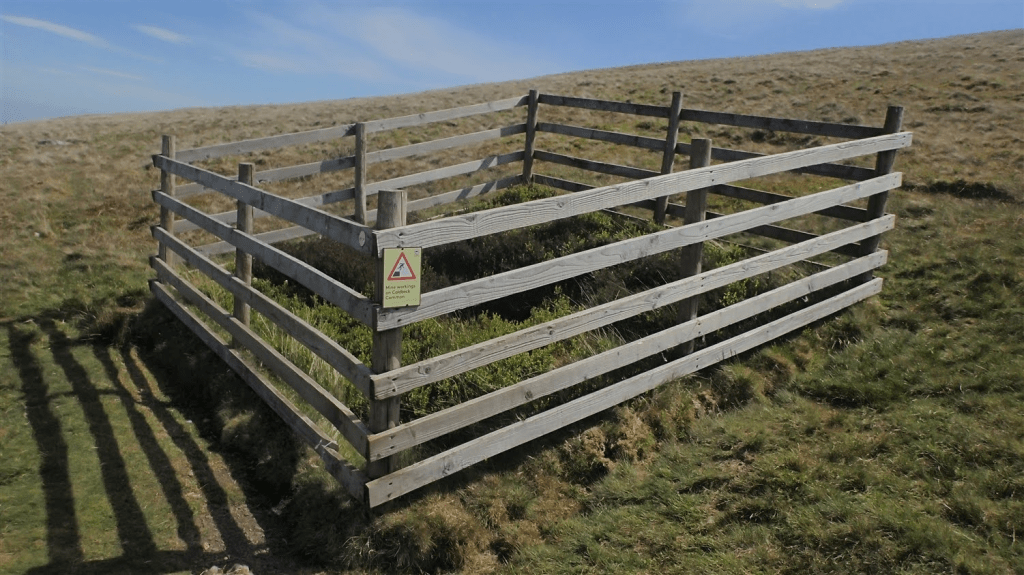
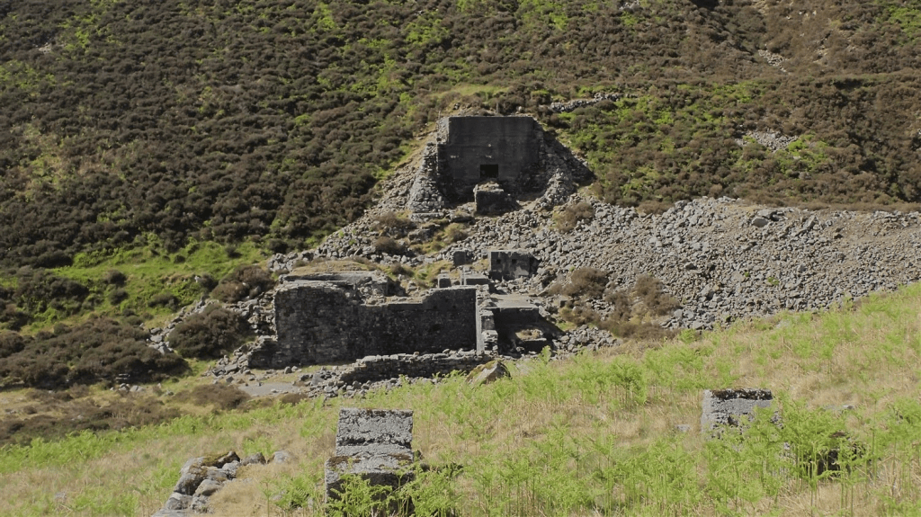
A number of disused mine shafts exist on this side of the fell. You can expect to find the most potentially unstable areas cordoned off, as above. I don’t believe there’s any direct threat to the Cumbria Way. I’d naturally advocate sticking to the path.
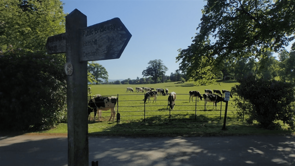
I’d passed one or two other walkers on the way down and then, gave way to a lady on her bike. Pedalling up this definite incline. I was impressed! It was a tough walk on its own, let alone to be travelling on two wheels.
She stopped, for a breather, or so I first assumed. She asked about bridleways and where the one away to her left would take her. I wasn’t too certain, even with my map on hand. We ended up talking for a good while. Her name was Wendy and she was originally from New Zealand but now settled in the south-east of England.
We talked a lot about walking and backpacking – or “tramping”, as they call it. These days, she was more of a cyclist and told me of some of the historic sites she’d found towards the coast on the previous day. Her advice was also to visit New Zealand one day but not to live there. Explore the Te Araroa. But avoid the touristy spots (anything ‘Lord of the Rings’). A lot of the route apparently also follows boring sections of road.
Wendy was staying at the campsite down in Caldbeck and advised me to do the same. But I was stubborn. Perhaps I missed an opportunity to make a friend and continue a conversation on this trail.
I soon found myself on the roads, edging closer to midday. I made a navigation error soon in to this, later finding myself too far west of Upton. I like to think it was an easy to mistake to make. But certainly, a reminder to also abide by a map along this walk.
In Caldbeck, I soon passed a pub that looked to be well attended – pretty much every outdoor seat had been taken. I’d otherwise thought about stopping for a fresh, cold drink.
I’d then follow the Way directly through the campsite in Caldbeck. I wasn’t going to stop here, as well maintained as it appeared to be. In hindsight, I do wish I’d paused here to find the owners and asked whether I could’ve made use of their drinking water.
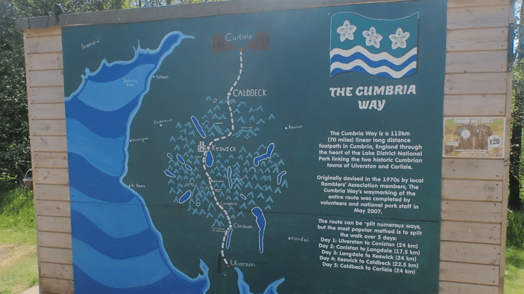
You’ll sometimes see this walk referred to as ‘The Cumbrian Way’. While my own schedule had been a bit ‘unconventional’ (two 20 mile walks in five days), I was really pleased with my progress and looked forward to an expected finish at around lunchtime the very next day.
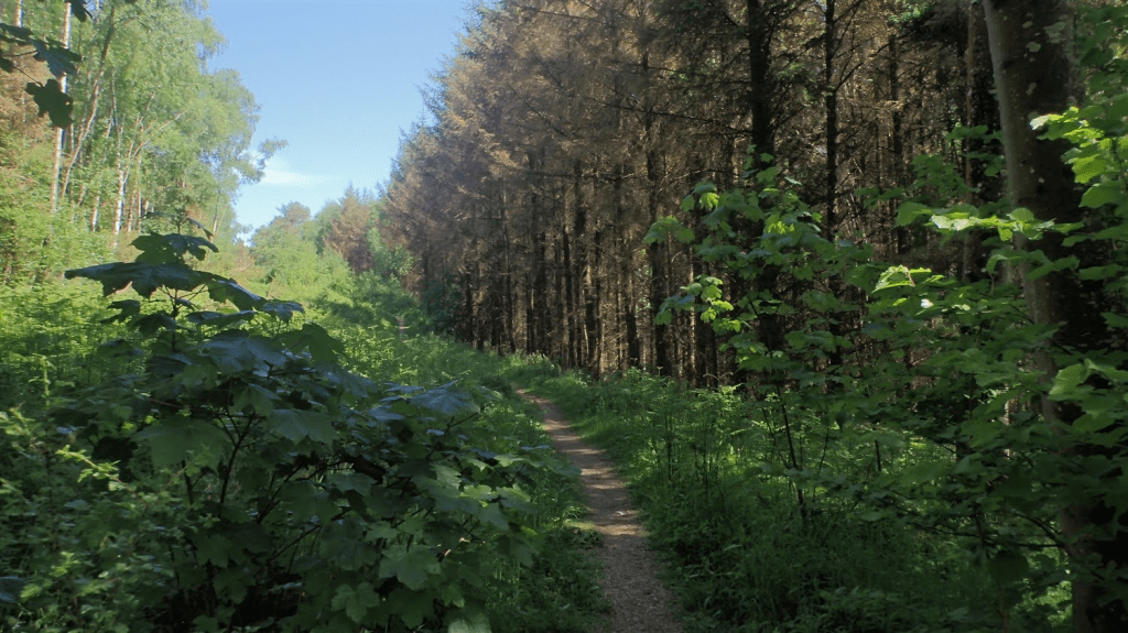
Humidity and that feeling of closeness continued, as the presence of curious flying insects also introduced themselves to me, along this partly wooded section.
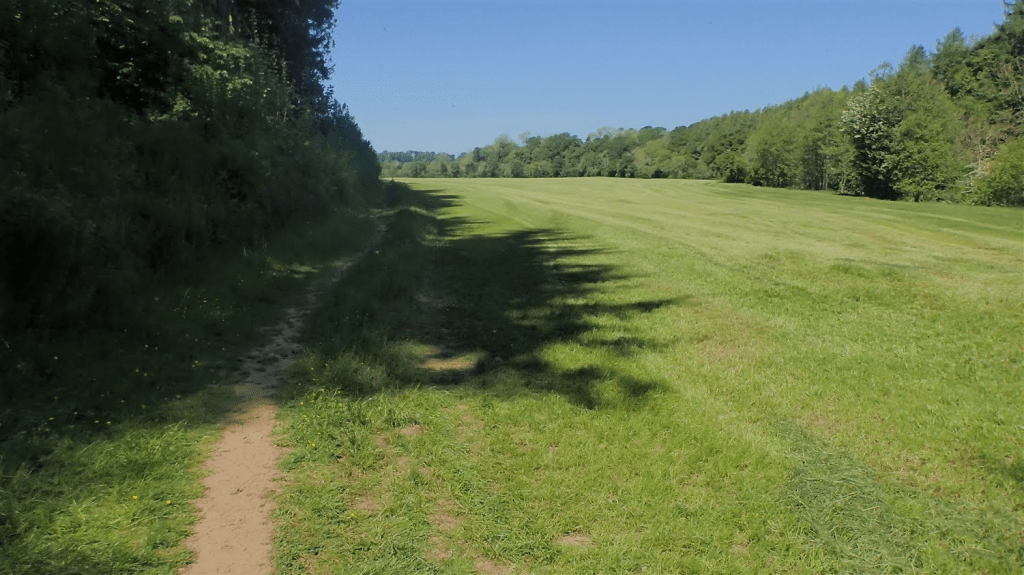
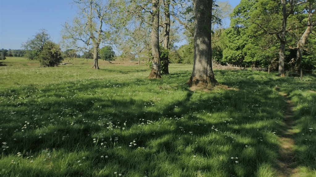
Then, I would be out in the open for all of the remaining miles. Barely a tree to shelter beneath and so, alone in this maintained meadow, I saw beside the path and within the shade, to take in my lunch.
Away from the fells and valleys, I felt that I was enjoying the ‘flatness’ of this section, significantly less than what I had known thus far. Being stuck in the sun made it a challenge, where the conditions otherwise meant I could cover a good distance at a fair pace.
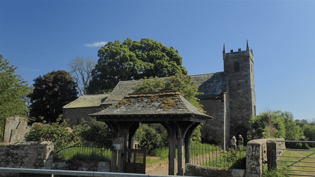
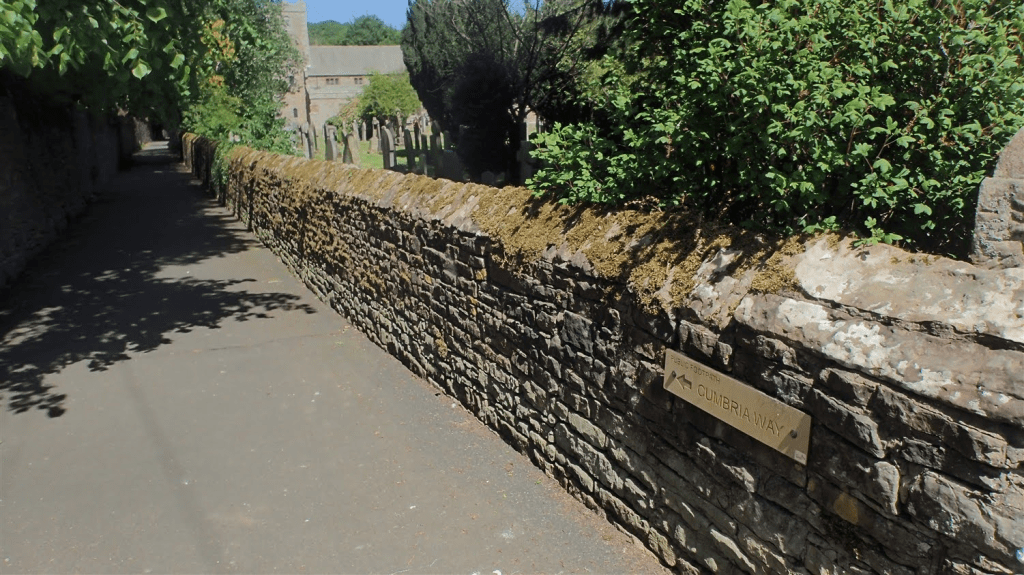
As I passed this church at Sebergham, I spoke briefly with the man you can see in the photo. He told how a local Women’s Institute group had also been walking the full Cumbria Way. Albeit in a number of day walks but they were raising money for their cause (if only I could recall further details).
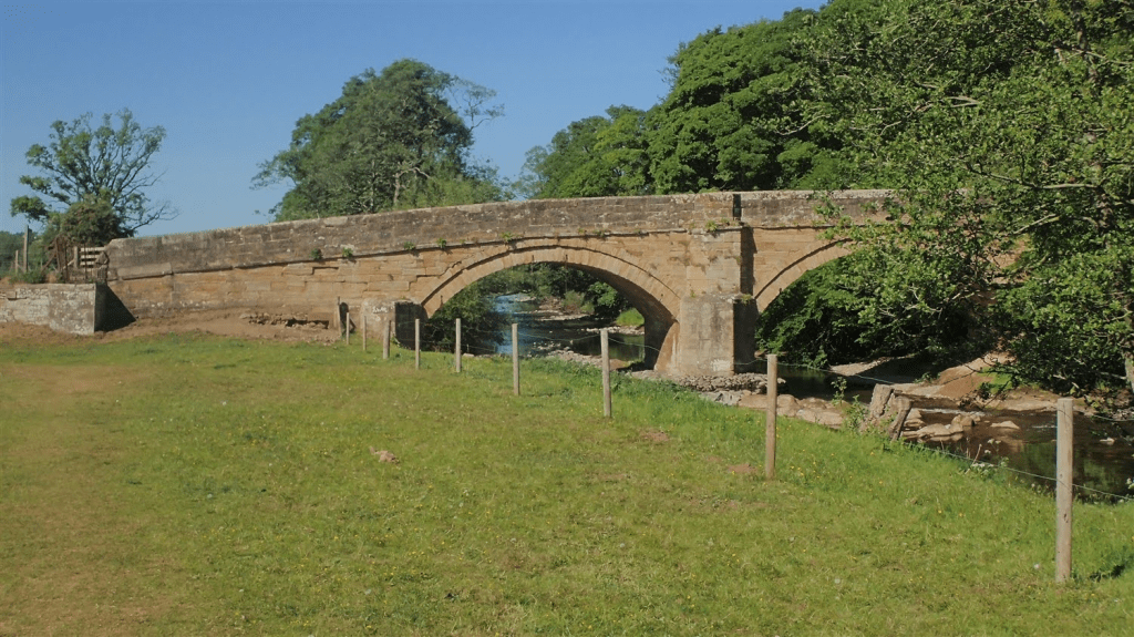
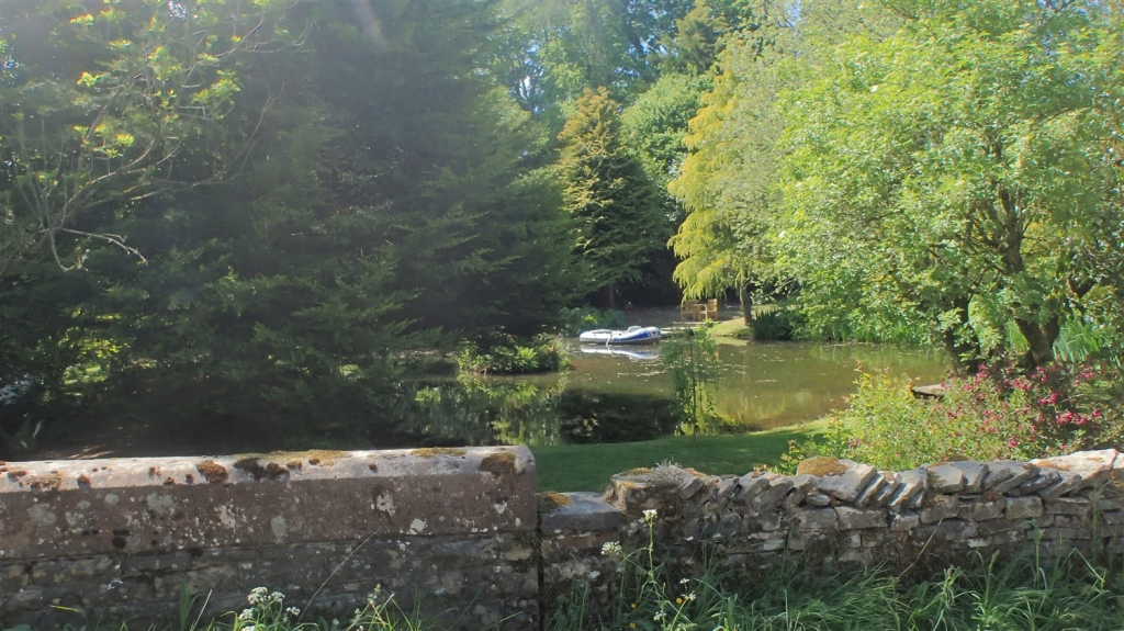
I’d been following the River Caldew. Continuing downstream, suddenly, it looked like the healthiest, fullest river I had seen in several days… Even though you can clearly see a darkened discolouration in the photo above.
Further along, I found a gap in the wire fence to pass through, collect water, run it through my Sawyer Mini filter and give myself that immediate refreshment of cold liquid. I was perhaps still one hour’s walk from the next pub. In the moment, this made a lot of sense. Even after I discovered tiny leaches attached to the outside of my water bottle.
There was definite beauty to be found along this penultimate section. My feet were keen to crack on and complete the distance for the day. My body wanted to escape the heat.
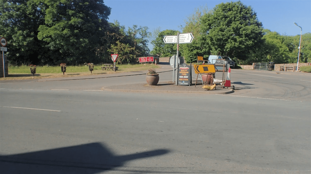
Eventually, I found myself standing before busy roads and a roundabout, to the south of Dalston. Emerging from ‘the wild’ I had known for four days. Back to civilisation. With a ‘ROAD AHEAD CLOSED’ sign deterring from what I believe should’ve been my way forward…
There was a bit of an error on my part here, mis-reading my Harveys map (which also doesn’t follow the Cumbria Way as set out by OS)… I followed the B-road from Hawksdale Bridge and looked to rejoin that closed road further on. Unaware that I actually needed to get down to a path beneath the bridge.
Some time passed before I reluctantly dug in to rucksack, unlocked my smart phone and turned to the power of GPS to find my way back on track.
Okay, I soon found my way in to Dalston. But then I’d need to leave it, to head away to my intended campsite at Cardewlees. I’d already spoken to them in advance to confirm that I could turn up without booking.
But there’s no public right of way running to the campsite entrance. From the train station, I joined a busy “link road” that crosses the railway line. No pavement, barely a grass verge in places and fast-moving traffic in both directions.
I did not enjoy my journey up to here – I say ‘up’ because again, you’re gaining elevation along the road to reach the site’s driveway.
I made a quick phone call on arrival and was directed on how and where to check in, alongside their honesty shop. Then further along the driveway to the camping field, with the Lake District appearing to be so small and very far away.
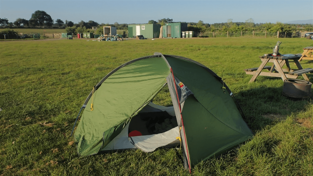
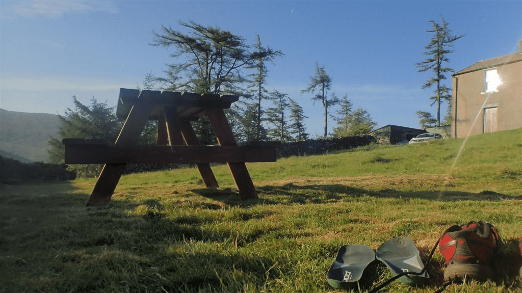
They’ve got the absolute basics here and also, hardstanding pitches for caravans. I had a picnic bench to myself, with only one other man-in-tent across the way.
If you plan on stopping here yourself, I recommend you contact the site and ask for directions on foot. There is a “permitted” route to/from Dalston, via the train station, that avoids 90% of the dangerous road journey that I endured. Directions are provided for campers already staying here. I don’t have permission to share as they are not public rights of way and do cross private land.
In my mind, I’d already completed the Cumbria Way, with the Lake District now miles behind me. I felt frustrated and regretful, at having followed that road to get here. But I had made it unscathed and could look forward to an early finish in Carlisle the next day.
Thanks for reading. Day 5 will follow.
