Saturday 4th February 2017
I was grateful to be able to do this walk with a friend. In fact, it might’ve been her idea.
 It’s a route you can find in Walk West and is only 7.5 miles long. I’d already walked it twice previously and, after a brief conversation with a work colleague, I’d thought of revisiting an area I’d not been to for almost two-years
It starts from a layby close to the National Trust-owned Clevedon Court. But immediately, you cross busy Tickenham Road and then on to the wilds of Tickenham Moor.
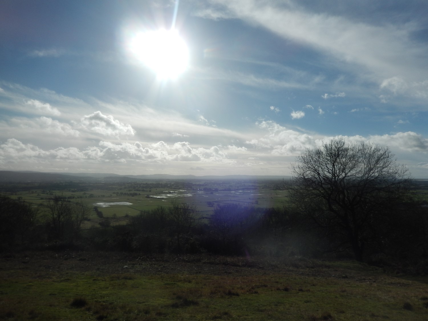
 This is a very large expanse of land – moorland, no doubt – segmented by the many rhynes, rivers and ditches. Clevedon, Tickenham, Nailsea and Yatton surround each of its four sides. Space that will hopefully never be built upon. A place upon which you can almost guarantee the presence of low cloud and mist on a winter’s morning.
We were on the right of way walking eastwards and soon to join the Middle Yeo river or rhyne, when I aggravated farmer approached us to ask if we’d seen a grey lurcher that had apparently been disturbing his sheep. This was in lambing season; a time where farmer’s may be extra vigilant. While I could sympathise with his frustration, I didn’t agree with his intentions to shoot or run the dog over, if he could find it… I’m not entirely sure of what the law says on this.
But I do feel it’s the dog owner’s responsibility to keep their pet under close guidance and control; with or without a lead. I think some people naturally assume moorland is like open access land, while others may not be aware of sensitive a time of year this can be for livestock farmers. Among all the yellow waymarks we saw, I did not see one single sign to warn people to keep their dogs on leads… Maybe this would help to prevent future incidents?
 We eventually came to cross the B3130 again and began a steep climb up beside the western edge of Tickenham Golf Course. I remember at least one runner overtaking us (uphill) and he wasn’t a young one, either.
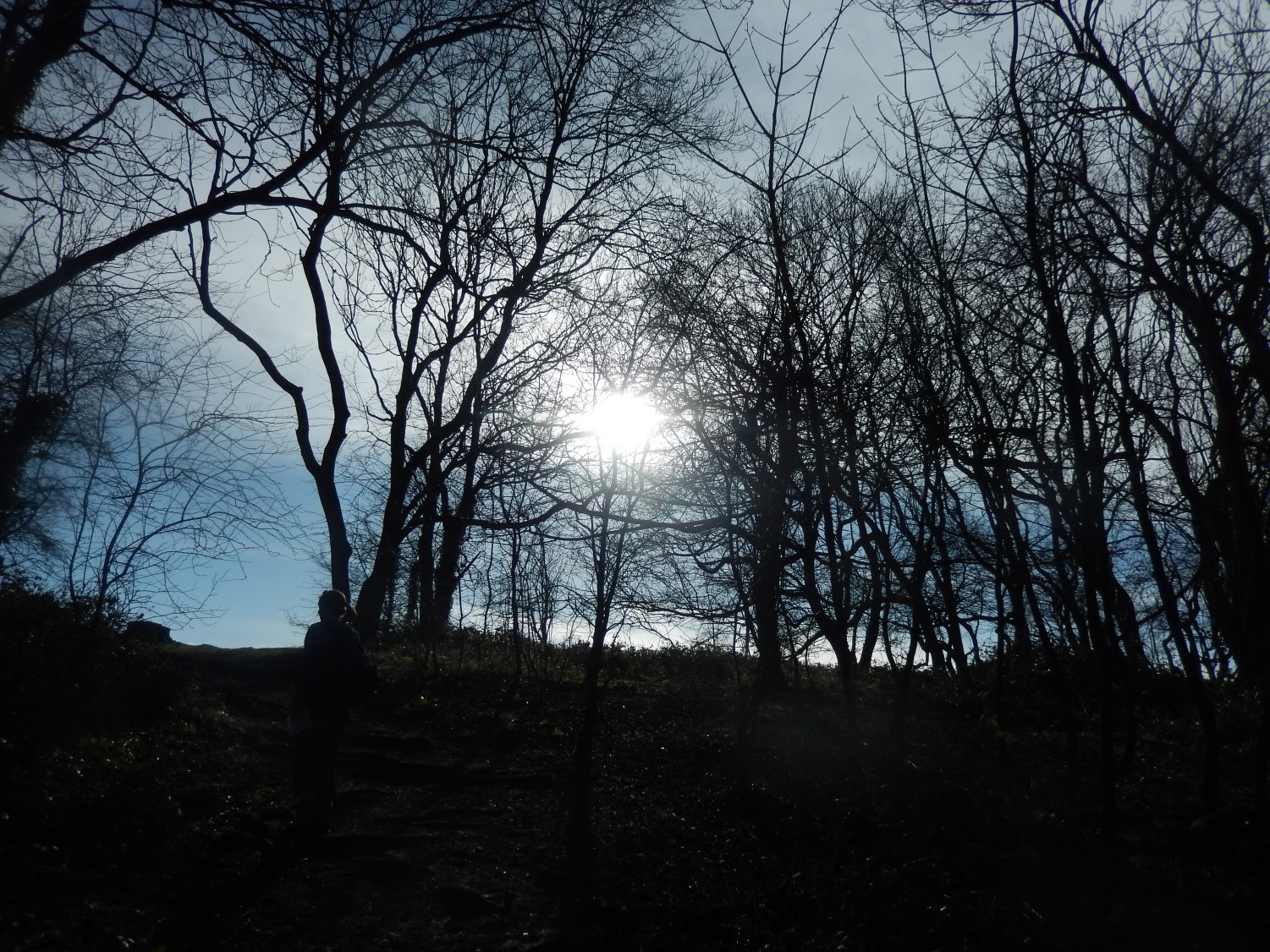
Taking a left turning near the top, we ascended through a small patch of woodland to reach the ramparts of Cadbury Camp hill fort.
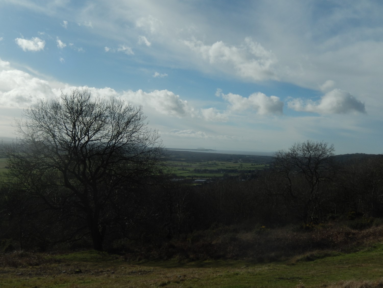
 For all its history, I imagine that a lot of people (myself included) come here for the fantastic views across North Somerset, west to the Severn estuary and further south towards the peaks of the Mendips. A great space for a picnic on a sunny day and yet, so close to the M5 motorway… I’ll bet thousands of people drive past each year without ever knowing of its existence.
Our continuation of this walk led us along Cadbury Camp Lane before crossing the M5 motorway to continue through Norton’s Wood and across Court Hill.
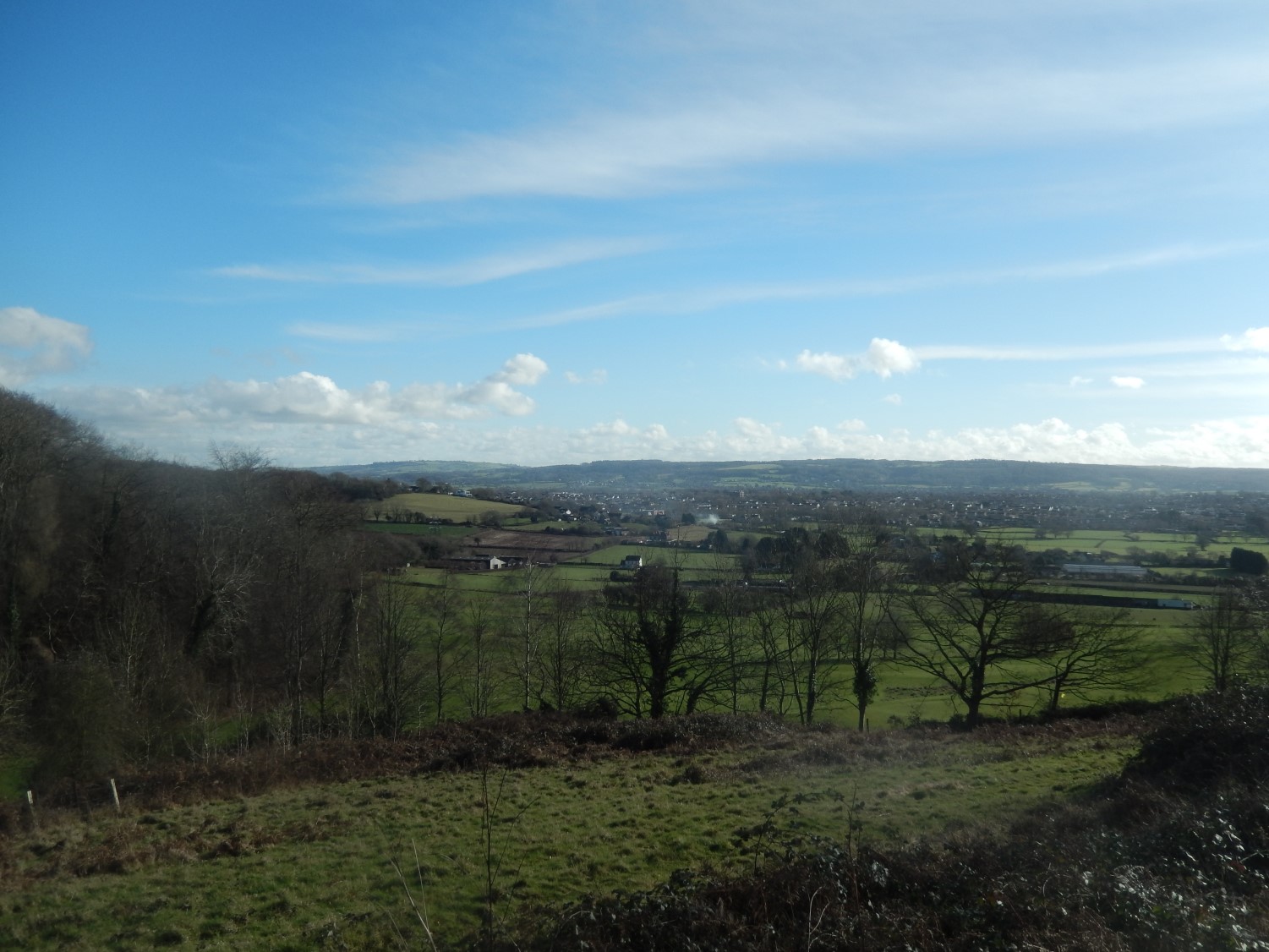 Soon, we descend to the clean streets of East Clevedon, which is regarded as being more modern than the rest of the town. A short walk west from here and you may find an obscure Dial Hill trig point, in the heart of the town and one I’ve yet to search for.
 It was an enjoyable walk with good weather, warm sunshine for lunch and not nearly as muddy as I had expected it to be across the moor.

