
I was hoping I would’ve been able to write something last week, about my intended trip to the Peak District, which ended forty-eight hours ago… But I’ve not been managing my spare time well enough, which inevitably resulted in late night and last-minute packing on no fewer than two evenings!
For the first time since September 2015, I made the long drive up to Derbyshire on Saturday morning. Here, I’ll be glancing over the highlights, with a detailed insight for each walk to follow in time.
Planning
As outlined in another fairly recent blog post, I’d already set my mind on this overdue return to the Peak District and, through a process of elimination, I’d decided to return to the same camp site as in 2015.
Back then, the weather wasn’t great across the three-nights of my stay. I did manage a successful walk around Dovedale in good weather, while the rest of the long weekend was either tarnished or threatened by the presence of dark clouds. These days, I’m more willing and prepared to face a good walk in bad weather.
White Peak / Dark Peak
Overall, the Peak District is loosely defined by two halves, with the limestone dales, cliffs and farmland of the White Peak to the south and the greater moorland heights of the Dark Peak heading north towards Sheffield.
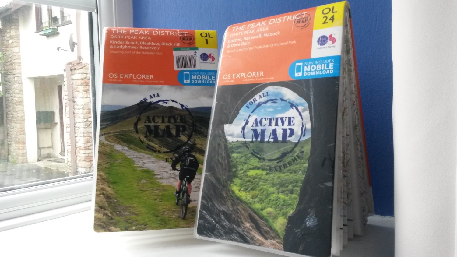
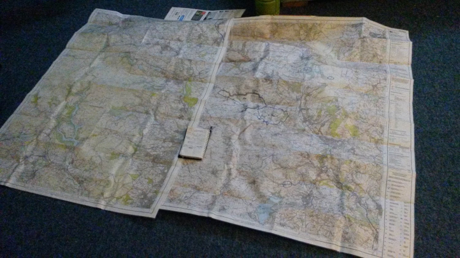
I’d only previously walked in and explored the White Peak and already owned the corresponding OS map. But for my second visit, I felt encouraged to spend one day walking in the Dark Peak area and therefore, added the map to my online basket.
Through the powers of eBay, I ordered what I’d believed was going to be a brand-new and unused map (it’s also possible I overlook the item details having seen the ‘reduced price’ next to Buy It Now…). What I received was in great condition but someone had clearly labelled their own routes on each side (both Peak District maps are double-sided; east and west).
My own inspiration mostly came from The Walking Englishman.

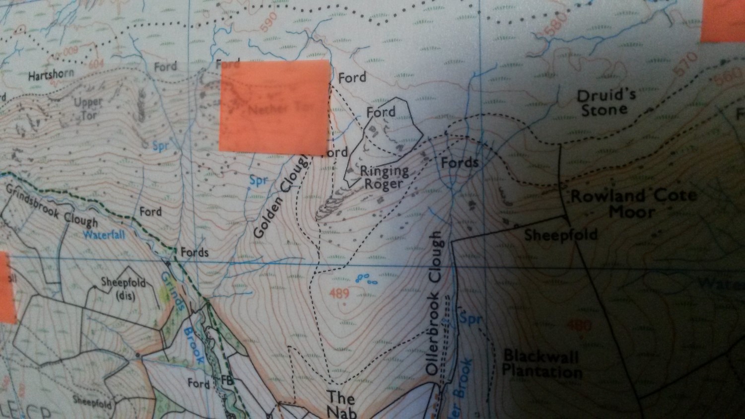 …But sadly, none of my walks would take me past Madwoman’s Stones or Ringing Roger… Maybe next time!
Tent Life
Once again, I chose to stay at Shallow Grange in Chelmorton and only a five-minute drive south of the spa town, Buxton.
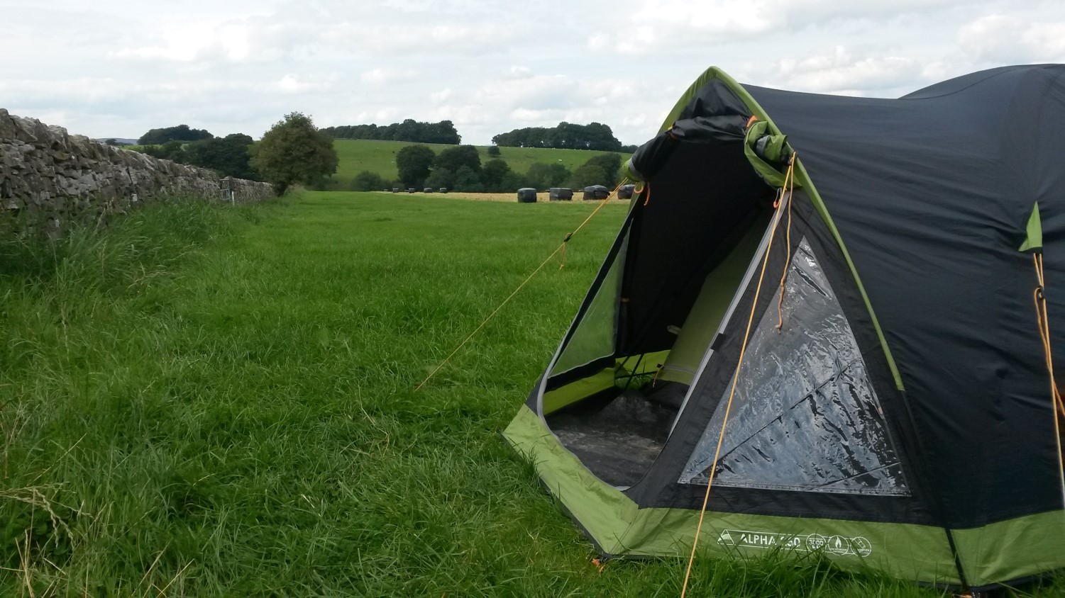
A very clean and well-maintained site; hot water provided by solar power; familiarity; not a bad location and only £10 per night.
I left home around 8am on Saturday morning but wouldn’t arrive at the camp site until late afternoon/early evening as I wanted to get a walk done, first. …In actual fact, I wouldn’t arrive until 19:45 – only fifteen minutes before closing!
Creeping up the driveway, I could see the adjacent tent field was very nearly full and I had my concerns about staying (not that any other nearby sites were likely to be less busy). But the site owner recognised that I had stayed before and offered me the opportunity to pitch in a quieter field ‘to the back’, where only a couple of caravans were staying…
It meant walking a little bit further to the drinking water taps each time but this field was level as well as being flat and I was closer to the showers; further from the kids. My first night was a bit disturbed by noisy neighbours and I didn’t feel best prepared for Walk No.2 on Sunday.
But, after the walk around Lathkill Dale, I returned to find my tent standing alone in this unfamiliar field. Everyone else had gone! I had two nights of prospective peace ahead of me! Even in the main tent field, around forty-percent of visitors had also departed.
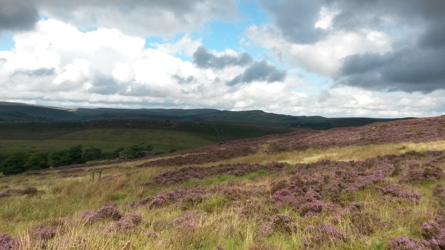
Walk 1: The Roaches
Despite being in order very close to Staffordshire, this area is definitely within the Peak District. I experienced my own navigational difficulties in making my way to the car park in Gradbach without using a SatNav and the M6 junction closure didn’t help… So, my three-hour journey from home took four-and-a-half but I did arrive in time for lunch!
I mostly followed the Walking Englishman’s route, with a few ups and downs, following woodland paths and then breaking out on the heights of around 500m above sea level. I quickly saw why this walk is so popular, even when it may not be spoken within the same breath as Mam Tor and Kinder Scout.
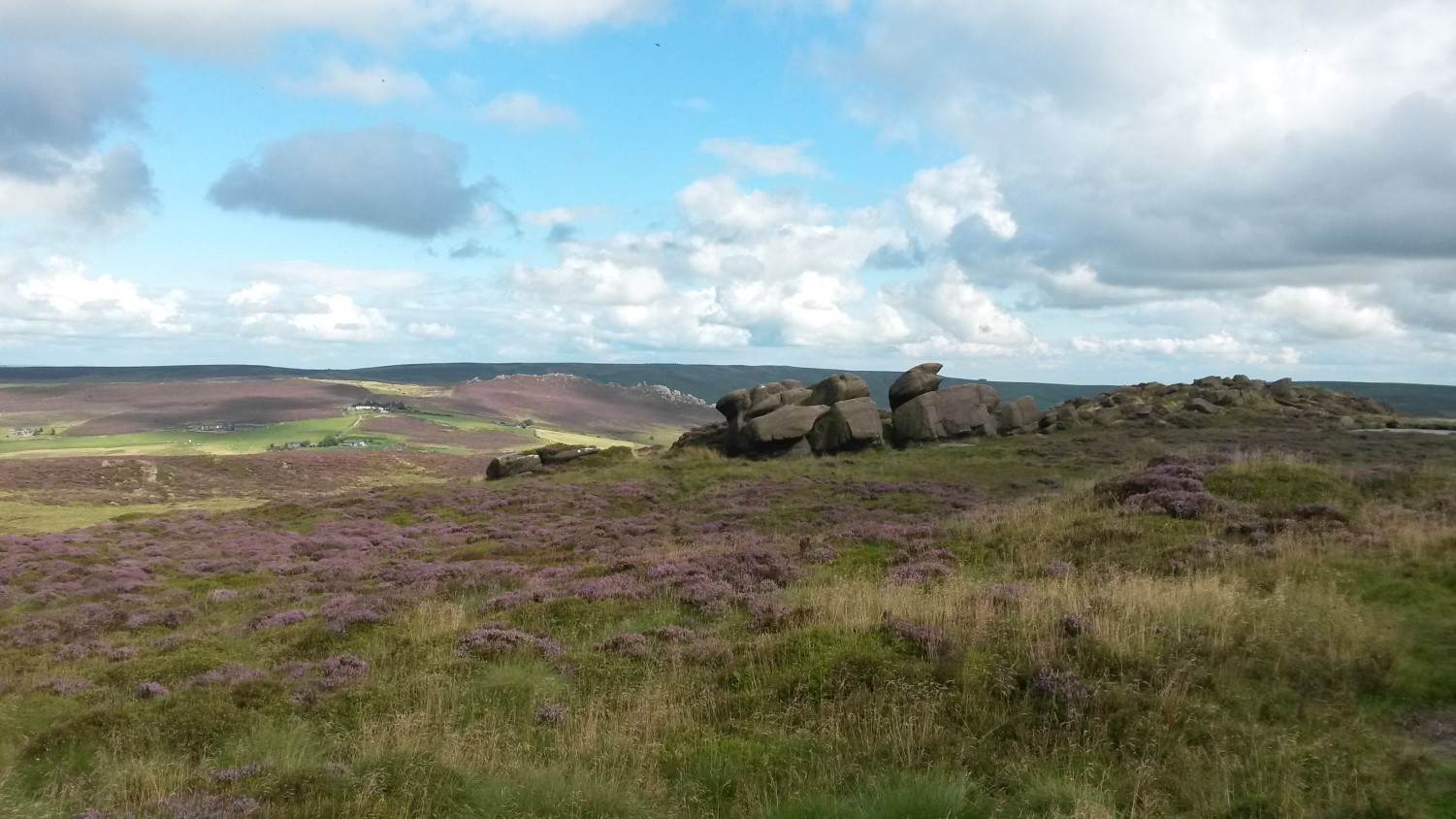
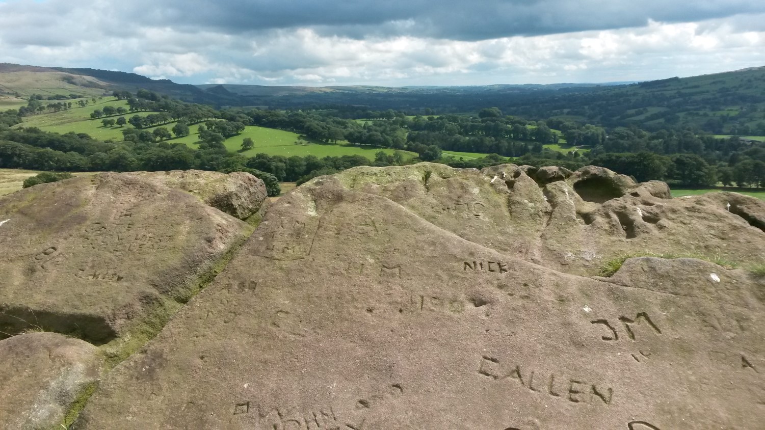
It was a busy place to be. Lud’s Church (a chasm – not pictured) was bustling with people plodding through its muddy belly. At around halfway and close to the trig point, I took advantage of a convenient ice cream van for climbing up on to these stacks of huge, wind blown rocks.
Please correct me if I’m wrong but, I think this area is called ‘The Roaches’ because these rocks look like insects crawling the ridgeline from below…
I ended up walking 13.5 miles.
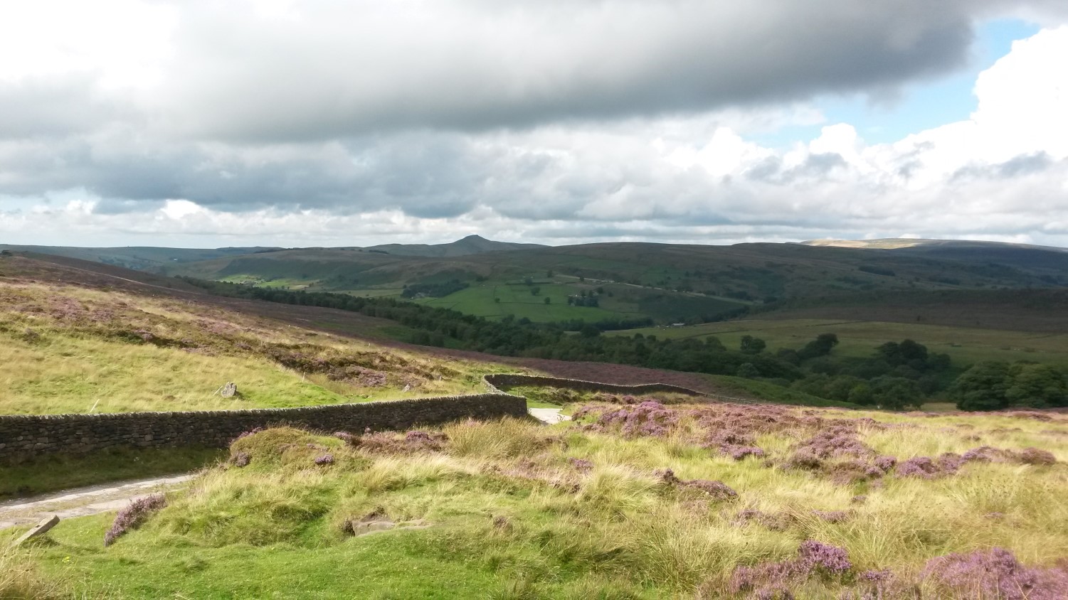
Walk 2: Lathkill Dale
This was forecast as my ‘easy walk’ for the weekend, starting from the village of Middleton-by-Youlgrave, where a local Ramblers group had also arranged a meeting on cue with my arrival. It was only going to be ten-miles; following a portion of the Limestone Way (no, I’d not heard of it, either) and later, the Lathkill River.
This seemed like quite a popular area to go for a hike but it was never overly-busy and this was on a day with great weather until the odd shower in the evening. I almost suffered a navigation slip near the beginning and did end up leaving the riverside path too soon towards the end…
Which resulted in a total of 12 miles walking for the day.
I had an idea about doing a short one-to-two hour walk from the camp site that evening but didn’t want to risk over-exerting myself, as the next walk was likely to be my highlight of the weekend.
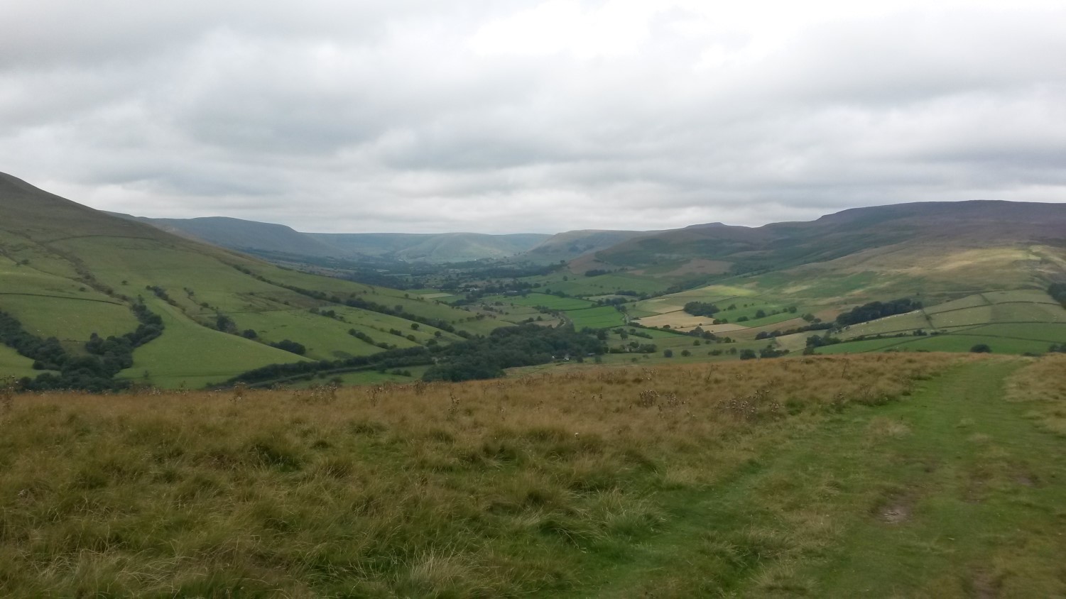
Walk 3: Heights of the Dark Peak
This was something of a tor-bagging challenge… I was torn between the option of ‘bagging’ Mam Tor or climbing to the low-mountain heights of Kinder Scout… I wouldn’t have been able to do both in one walk without missing out on a lot else (or, blasting my mileage up in to the twenties).
I came to the conclusion that a Kinder Scout walk would mean hiking along the Pennine Way…
Don’t get me wrong; this is something I’d like to do one day. But, for me, this weekend was mostly about finishing off the White Peak exploration I began in 2015, where as the challenging National Trail leads deep in to Dark Peak moorland.
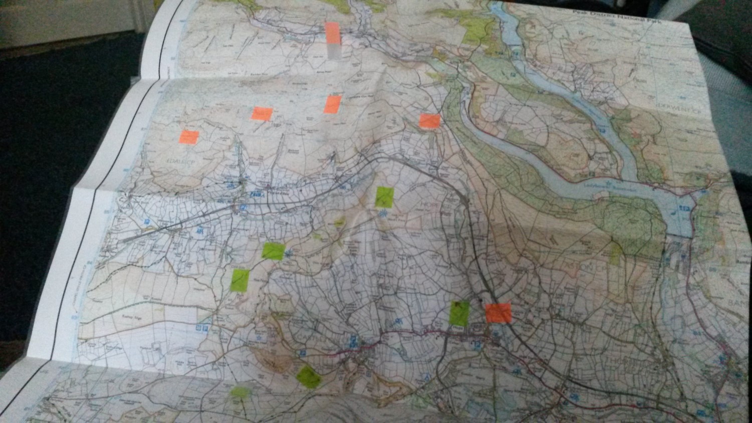
I found a free parking space at a layby near Nether Booth YHA (car parks in both Edale and Hope are pay-and-display) and set off immediately with the plan to climb Win Hill (aka. Winhill Pike). It took me about ninety-minutes to get up there (I did get lost on a farm) and I could safely say I had conquered my first ‘pike’…
Although, I’m still not sure what separates a pike from a peak?
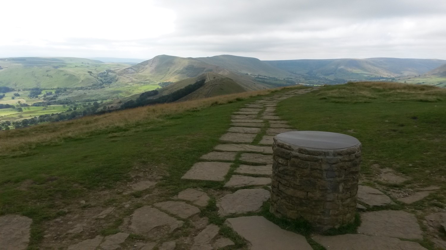
Having climbed to 462m above sea level, I was about to lose 300m in height before ascending to Lose Hill Pike and its unexpected toposcope. From there, I followed the ridge to pass a growing crowd of other walkers near Hollins Cross and then, up to the 517m trig of Mam Tor.
Thoroughly rewarding, if also challenging and a little bit too busy for my liking around Mam Tor… I can’t imagine Kinder Scout being much quieter but I’m pleased I’ve done it – and, in fair weather.
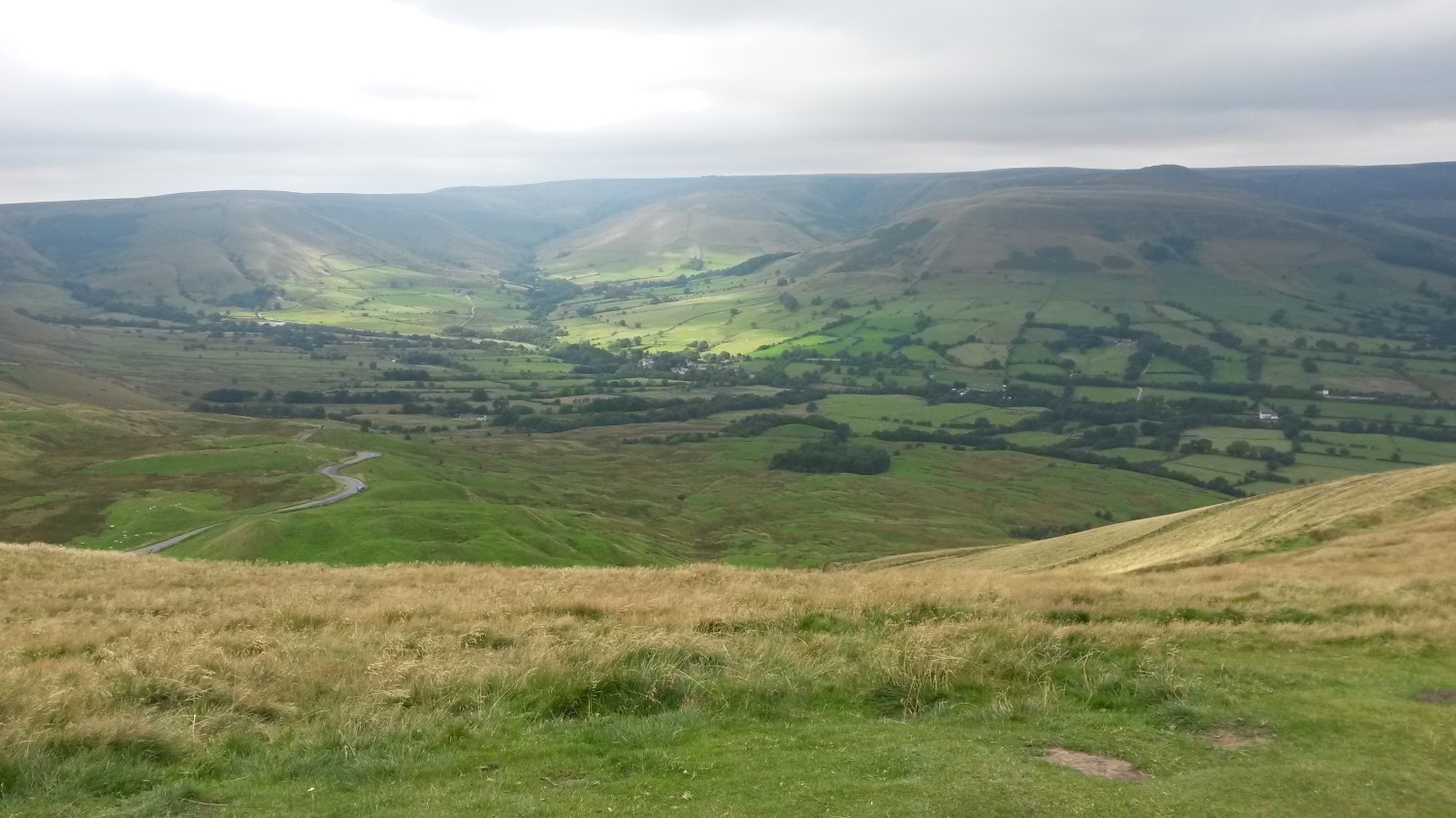
I believe the true highest point in the Peak District is Black Hill, north of Edale. That one, I’m also saving for a return visit. Several times throughout the weekend, I felt as though I could almost live up here, in order to explore the rest of the National Park and unknown sectors of the UK to the north.
My walk lasted for 13.5 miles.
Home Time
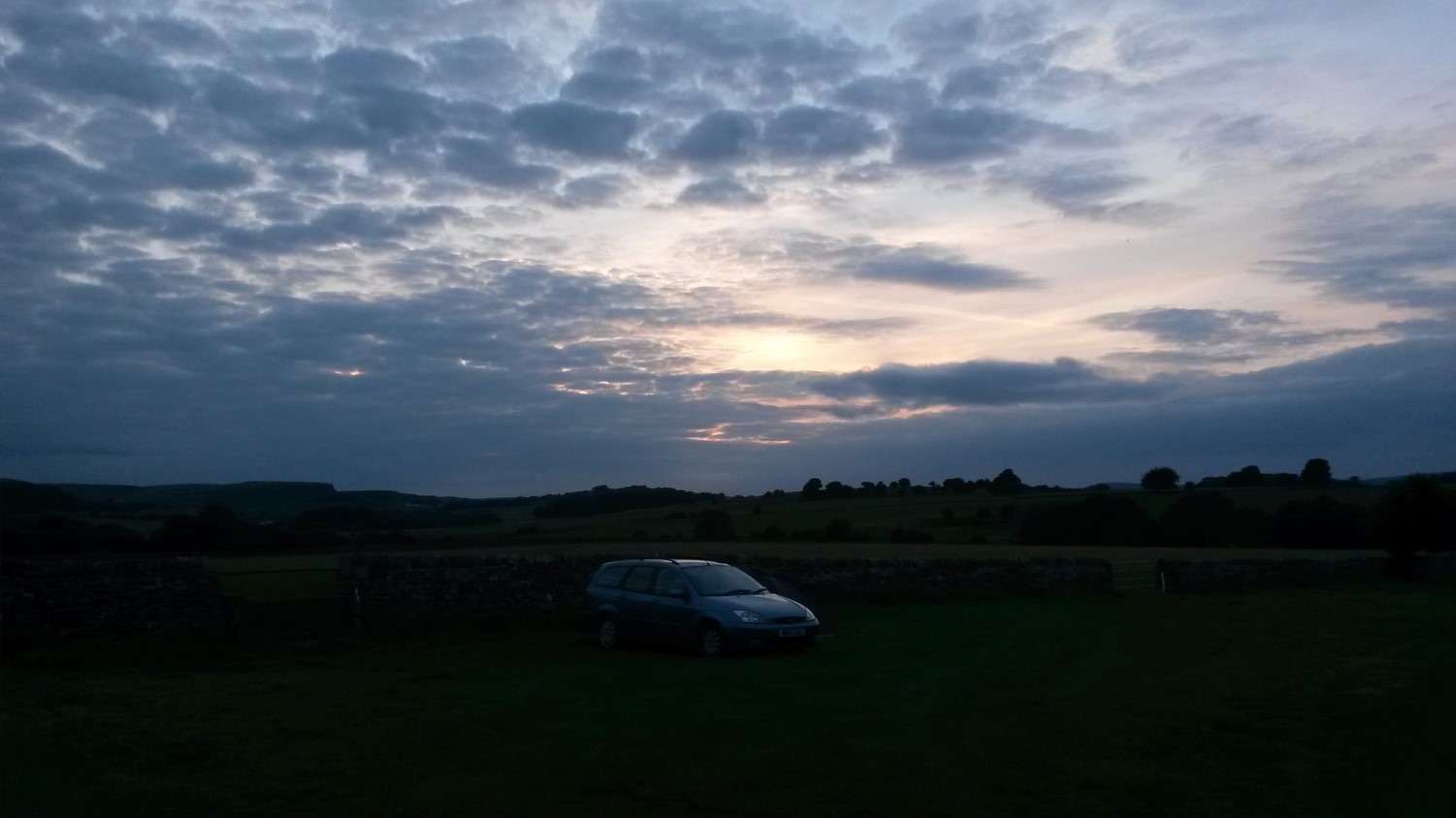
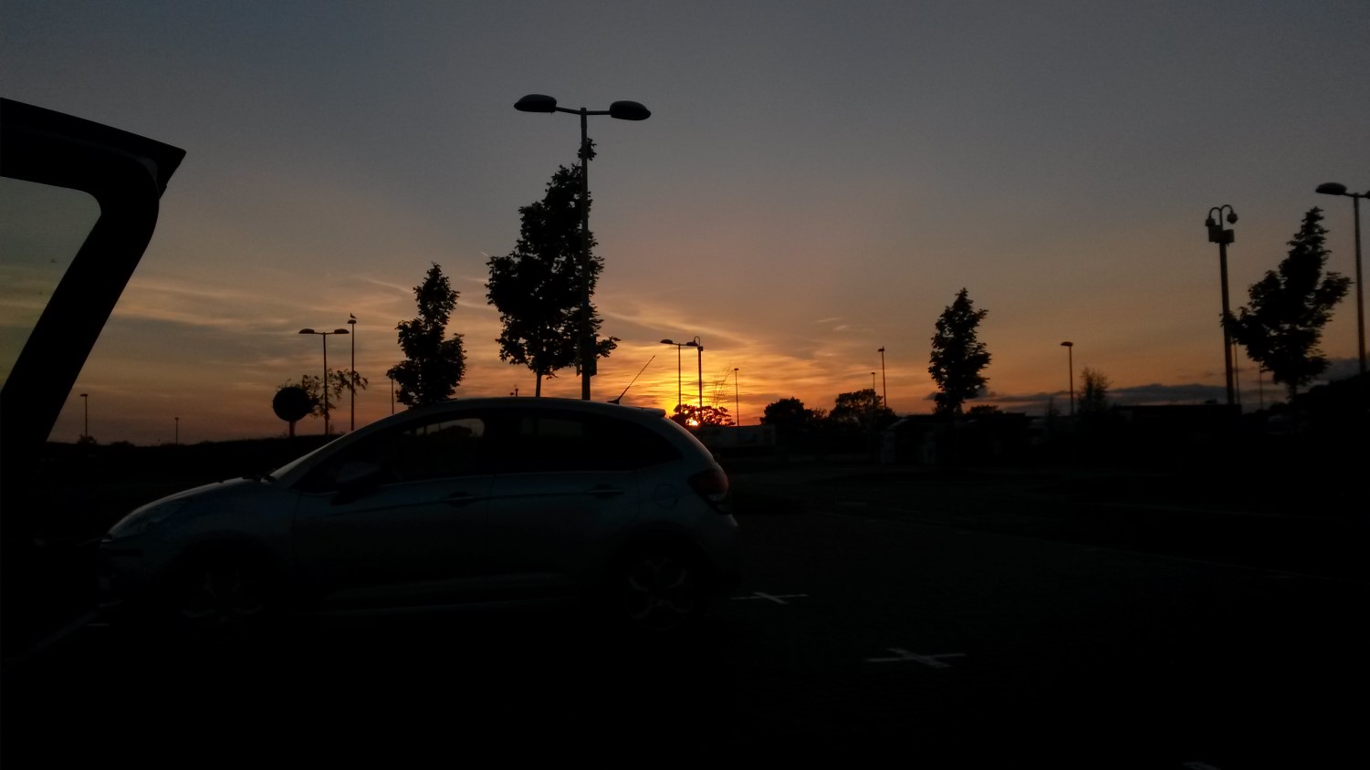
Tuesday morning began with rain. Nothing too heavy but I felt grateful for the good fortune I’d experienced (even while sheltered under the raised boot of my estate car for dinner and breakfast).
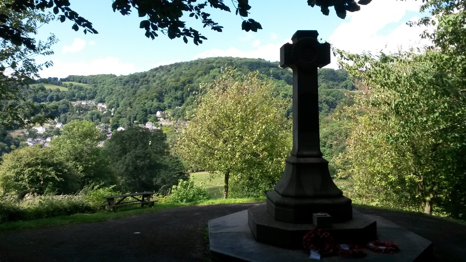
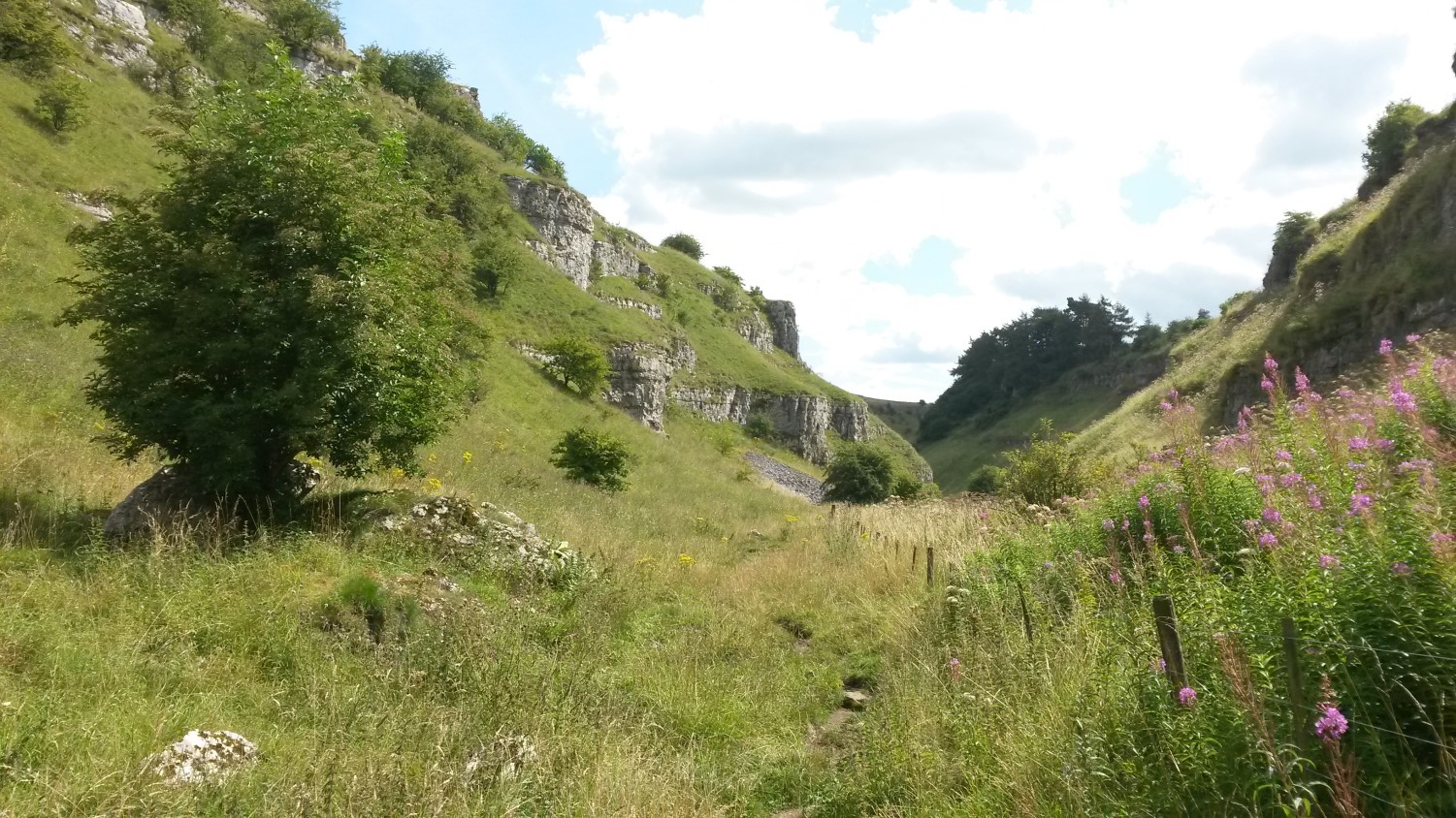
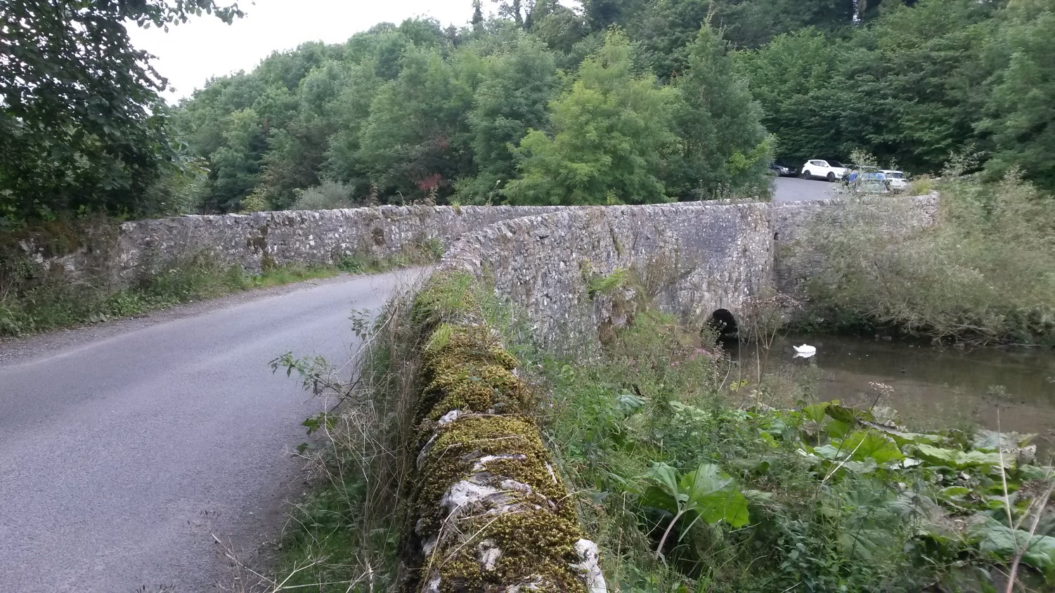
I was never going to drive straight home from the camp site. Three-and-a-half hours in the wrong direction; an undesirable return to the everyday. On the way, I stopped off near Matlock Bath (again, finding free parking) and walked a portion of a short route around High Tor, before descending for fish and chips by the river.
Matlock and Matlock Bath are not the same, I quickly learned. To be honest, I didn’t linger too long in either; not being a fan of noise in general, with A-roads dividing the tourists on either side.
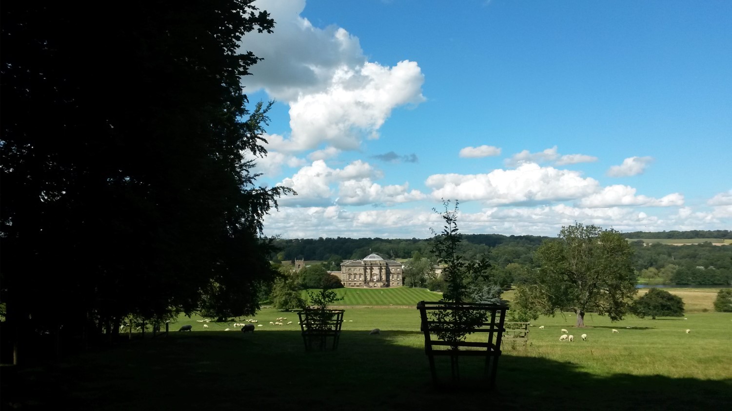
Come the mid afternoon, I was turning the key in to my ignition again; now heading slightly further south towards Derby and the destination of Kedleston Hall.
My first National Trust visit for a few months (too long) and, after walking around the estate, I settled for tea and cake within the restaurant. I can’t always pretend to be that interested in house interiors but they always seem to serve a generous slice of cake and their pots of tea are almost always good. Not something you can easily find on a town high street.
I managed to walk about 4.25 miles around Matlock Bath and 6 miles at Kedleston Hall.
It was about 21:30 on Tuesday evening, by the time I had unpacked my car, dumped it all on to the kitchen floor and slumped on to a settee, not-ready for a return to work the next morning.
I did manage to get a lot out of this weekend (including mileage for my #walk1000miles challenge) and I’m pleased that I was able to see much more of the White Peak area on this occasion. This was also my first solo weekend away of the year, having previously been away twice with the group and once to a festival with a friend.
Hopefully, I can squeeze another one in before Christmas comes and I’m still thinking about The Ridgeway…!

Beautiful photos. The Peak District is only 2 hours drive from me but we never visit. Something we will have to rectify 🙂
LikeLiked by 1 person
Thank you, Christine. 🙂 It took me 3.5 hours but it’s definitely worth it. I took these photos briefly on my phone but have many more to come (in time) that were taken with a brand new camera.
LikeLike
Hi Olly,
Through watching your YT videos, it led me to your blog. I’ve really enjoyed watching\hearing about your adventures. What an inspiration you are. I love walking too as I find it gives me time to relax and think. Sometimes I walk with a friend and it’s a great opportunity to catch up whilst still keeping healthy. I also like to research walks using the OS map app and plan them all out. That’s a lot of the fun. I tend to spend quite a bit of time in GoOutdoors and other walking/camping shops looking for new gear. It really is becoming a great hobby.
All the best Olly and enjoy your adventures and walking.
Gavin
LikeLiked by 1 person
Hi Gavin,
Thanks very much for your comment and for following my activities. I appreciate walking and camping for very similar reasons. It’s good that you also have a friend you can walk with. I too spend a lot of time plotting routes on OS Maps, haha! Outdoors shops are my favourite kind. 😉
All the best to you too and thank you. Wherever you are, I hope you’ll manage to get outside this weekend regardless of the passing storm.
Olly
LikeLike