
Thursday 6th September 2018
Here it is, then. Almost three-months after I began my walk to follow The Ridgeway, I was in to my final day along the trail and to be followed by the inevitable return home.
I’d spent the previous night at Corner Farm Camping in Kingsash. Most of what had kept me awake had been the low temperature. I felt slightly unprepared with my two-season sleeping bag and wasn’t ready that chill that set in during the early hours of Thursday morning. I’d packed thermal leggings but only a cotton T-shirt. Longer sleeves may’ve kept me in comfort. I just wasn’t expecting it, so early in to September.
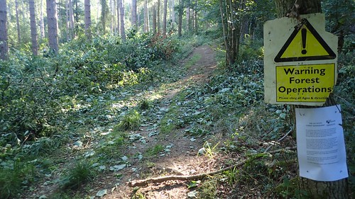
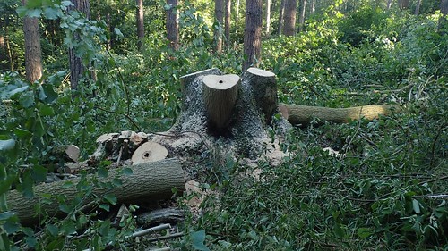
Something to consider for future backpacking and camping trips, either side of the summer. I was also surprised by the sound of chainsaws running up in the woodland at 7am. These very same woods I’d walked through to reach the campsite and, now, I’d have to trek through them again to rejoin the trail.

I suspect they were ash trees, as they’re certainly suffering in the UK. After a bowl of porridge and a cup of black tea, I packed away (in the sunlight) and returned to The Ridgeway within twenty minutes.
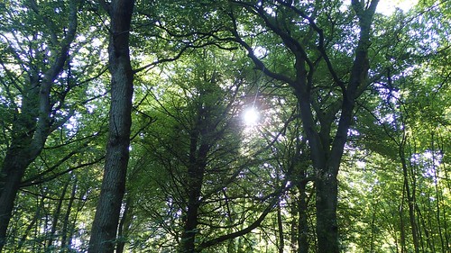
I was grateful for this early stretch of walking beneath the trees of Barn Wood. I hadn’t left the camp site until 9:30, even though I’d intended to be ready to go half an hour earlier. There was no rush. I had twelve miles to cover and would likely finish close to lunchtime.
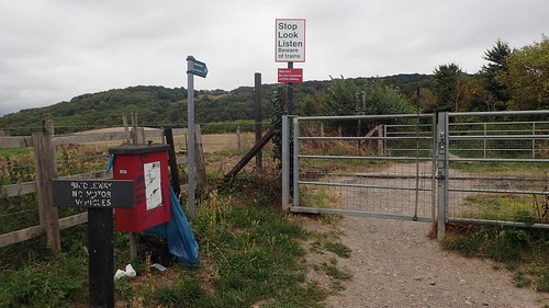
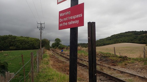
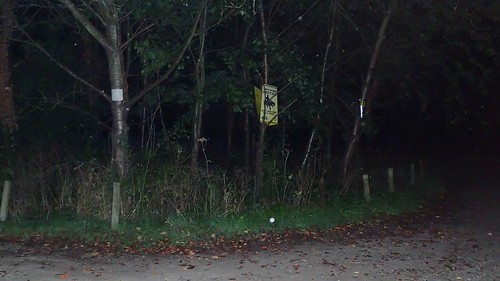
Out of the woods and over the road, I followed signs to cross fields. This is certainly a rare experience for anyone walking The Ridgeway!
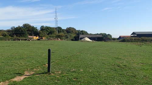
There was one field, heading towards the mast, where I could see cattle on the far side. I was slightly concerned about finding my way across but, just as on the golf course previously; there was a maymark post slap-bang in the middle. I couldn’t think of a time where I’d had to pass close by any cows on this trail.
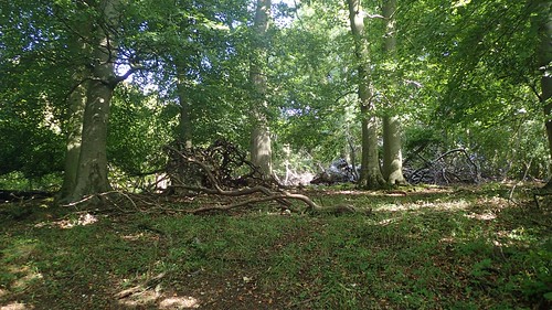
More woodland walking, through Northill and Pavis Wood.

This led me to Hastoe, just outside of Tring, where I noticed a DofE expedition was set to take place in two days’ time. When I was at school, this was not the kind of experience I would ever have imagined undertaking. I had no interest in doing anything more than a dog walk.
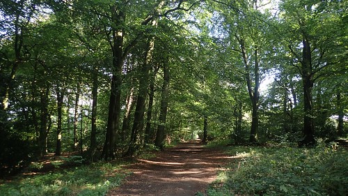
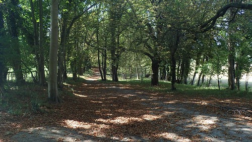
Then, I joined up with the Icknield Way Trail and continued through the woods above Tring Park.

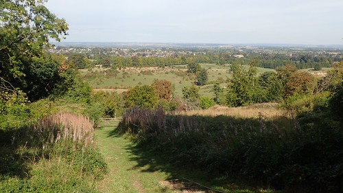
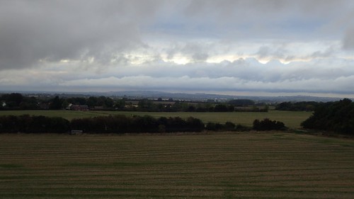
This was a really beautiful space and of the kind I’d not expected to find, heading further east across the country. Edging closer to London, I could only imagine pavements, concrete and high-rise man-made structures. But, I clearly have a lot to learn.

I think I’d only been walking for an hour and passed the first opportunistic bench; at which, I decided to set up a selfie… Perhaps not one of my best.
I passed on the opportunity to sit here; deeming it to be ‘too early’ for a stop. I made the decision slightly further along and at the second bench.

I also decided that I would walk further beyond this tree-seat, before finding somewhere else to sit down.
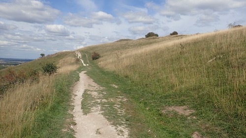
My walk continued, as I left the woods just north of Wigginton. I could see hills in the distance… One of which was probably Ivinghoe Beacon; my day’s destination and eastern end point of this trail.
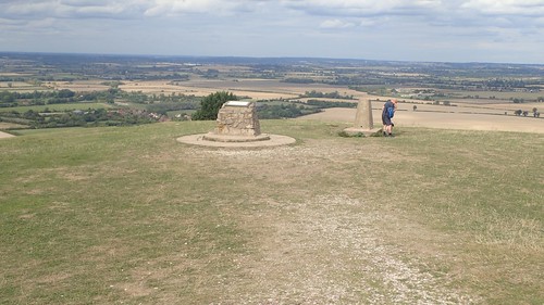
I bagged this trig just ahead of Langton Wood. At 216m above sea level, it’s location beside the footpath was comparable to one I discovered on Day 3.

Had I inspected my map more closely, I might’ve been prepared for it. Having been unable to reach another trig on the previous evening, I was pleased to be able to add this one to my list of ‘collections’.
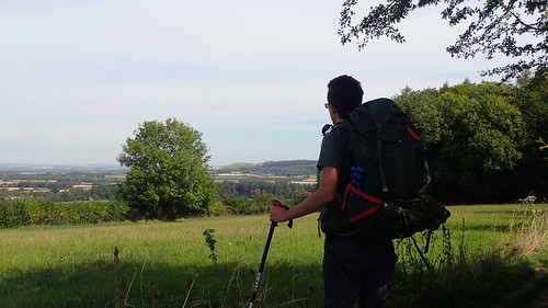
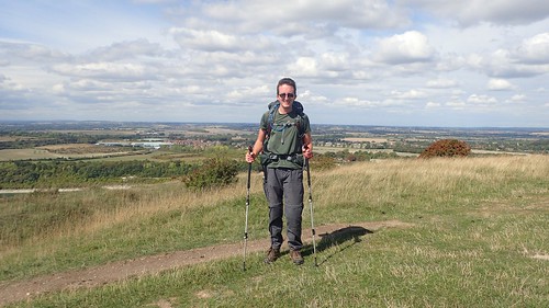
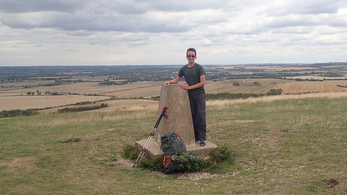
This may be a better perspective; with 56 litres of rucksack behind my and a view to the end of my long-distance walk.
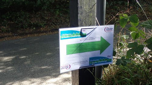
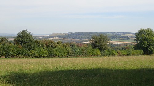
I’d also seen a number of laminated signs for the Chilterns Three Peaks Challenge… I’d certainly not heard of this challenge and couldn’t imagine the Chiltern Hills bearing much in the way of ‘peaks’! From what I would learn, it seemed to follow my own route for the rest of the day.
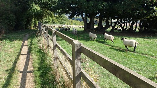
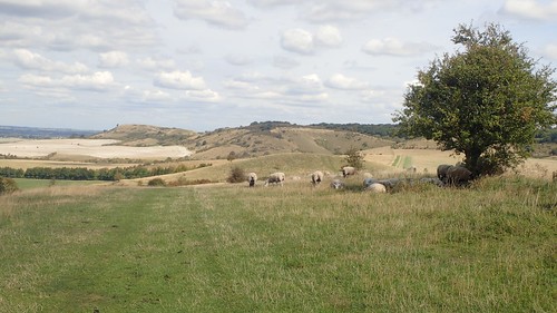
Following a fenced footpath heading downhill, I noticed a growing flock of panicked sheep racing across the field beside me. I couldn’t imagine they were that sparked by my sole presence. Moments later, I heard the quad bike roaming, with an obedient sheep dog doing most of the work.

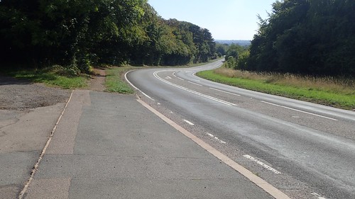
Nearing the end of my trail, it was inevitable that I would have to cross further A-roads. This was the A41, as viewed from the footbridge.
I would then have to cross the A4251 (a number that suggests there are many British A-roads) at ground level; passing a small group of older Ramblers along the way.
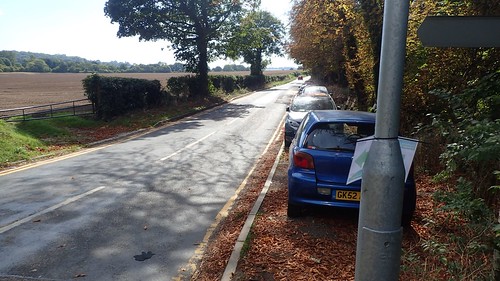
I was heading in to Tring, as I noticed a number of cars parked up on this verge. What looks like a broad pavement was actually signed as some form of parking area but only for permit holders… How they got their vehicles up there without offset the tracking, I’m not sure. And to parallel park in that situation… Would it not have been easier to park a the train station and pay for a ticket?
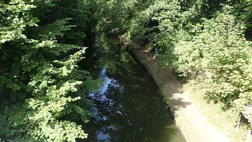
A roadbridge led me over the Grand Union Canal and its towpath. Sadly, The Ridgeway doesn’t follow this. If I wasn’t happy with taking the bus, one alternative option was to return to this point – only three-miles from the end – and follow the canal up to Aylesbury.

This is Tring in Hertfordshire. It has a train station. I used to know of a woodworker who lived here and I know I have at least one Instagram follow who’s also local to this area… I don’t know much about Tring!
Had everything gone as according to my original five-day plan back in June, I’d probably have been taking the train from here to reach London, then changing on to a national rail line to reach Swindon, followed by a short walk to my car.
I’m pleased I didn’t have to brave any part of London with an oversized rucksack. No doubt, I’ll have to take that chance another time but, by then, I’m anticipating that the load on my back will be more reasonable, to say the least.
I would have to follow a pavement-less road for a few hundred metres heading north-east, before could escape the passing traffic and settle back in to my walk.
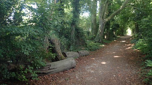
Along the track behind Westland Farm, I perched upon one of these discarded logs and rested for my overdue snack break. I could hear building work and terrible karaoke in the yard behind me but, at least they were listening to a radio station that I could approve of.
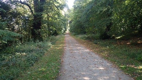
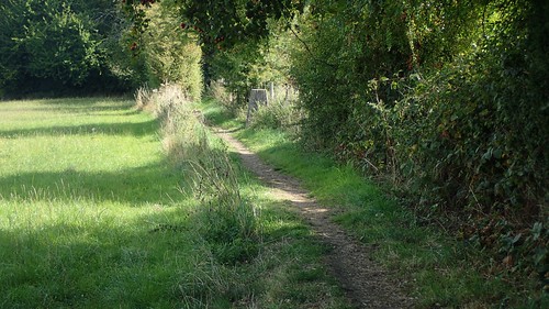
Back through the woods once more; a familiar theme to this eastern-end of the trail and one reason I much prefer it to the western half.
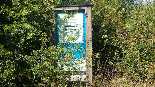
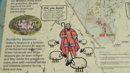
I love the name, Aldbury Nowers.
Only yesterday, a day before writing this, I was talking to someone who’d never heard of The Ridgeway… This person has walked their own long-distance paths – albeit, much further north. Bill Bailey has completed it twice… I’m always greatly surprised, when I meet someone who doesn’t know.

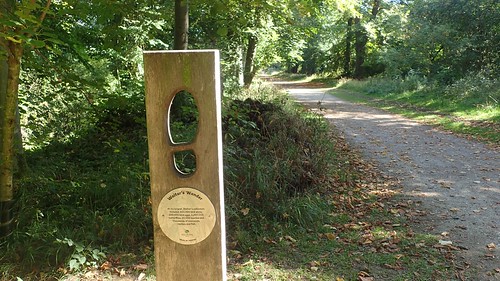
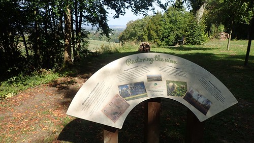
I would then find myself following Grim’s Ditch around Pitstone Hill. Much of the eastern half of the trail closely follows this ancient man-made feature. Although the path diverts away from the sunken ground, in order to preserve it.
I met a couple of people out on their own day walk, passing through here. We were each intrigued by the presence of the latest feature in a series of ‘Rhymes of the Ridgeway’ poems (Ill try to include the ones I found in a separate post).
Out in to the open. I could almost feel the long-awaited end point. Had I been walking this back in June or even July, it would’ve been wise for me to pause and apply fresh sun cream, here.
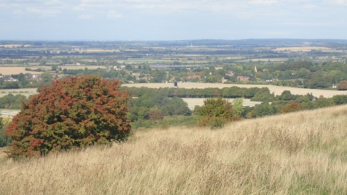
You can just see Pitstone Windmill in the centre of the photo above. It’s owned by the National Trust and I had thought about taking a diversion here and back, before completing my walk. But, there was no suggestion of a tea shop. Otherwise, I’d have briefly left the trail without hesitation!
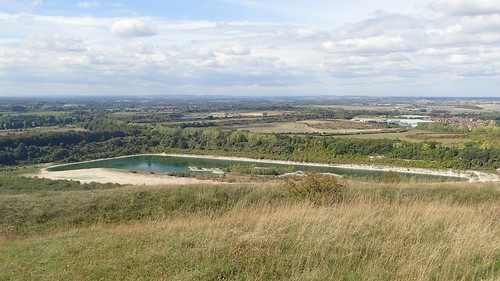
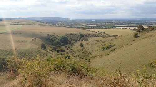
Some kind of chalk pit lies within the water far beneath me.
At the next waymark post, I set my camera up for an improved selfie, while allowing two others walkers to march on ahead. I’d carried a mini tripod with me for the full duration of this long walk but I don’t think I would use it more than a couple of times.
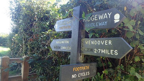
With so many finger posts and fence posts along the way, was it really a necessary addition?
Ivinghoe Beacon was very close, now. I could be there in perhaps thirty minutes! My first backpacking experience was nearing completion.

I crossed one final road with a parking area on one side, to be begin what would be my final ascent along The Ridgeway.
A gentleman heading in the opposite direction stopped to ask if I was walking the full trail. He told me he had walked The Ridgeway himself, several times, albeit in smaller circuits. We both commented on the lack of campsites nearby, although he wasn’t already aware of my previous night’s accommodation in Kingsash. Even though he seemed to know the area and its local pub.
One final view of the Pitstone Windmill. I’ve read that it is operational on Sundays.
There it is. Ivinghoe Beacon. A humble toposcope and trig point, with one man and his dog preparing to sit down and subsequently delaying my own attempts at celebratory photographs.

87 miles east of Avebury in Wiltshire; I had completed every step of The Ridgeway National Trail. Officially, I think it’s fair to say that I still completed the trail in only five days… Even if those times were spread across a period of three months!

It was about 13:30, by the time I arrived here and, with time to spare, waiting for the other visitor to move on, I would sit down for lunch, looking somewhere to the west.
Eventually, they moved on and I could set myself up for a pose and for a panoramic that will one day appear in video. Shoes off; 230m above mean sea level. I’d done it!
I’d felt a sense of sadness and emotion, making that final push up to the summit. People often talk about such things. Perhaps I’d have felt this more deeply, had I been able to complete the trail in five consecutive days as first planned… Five days away from home. A truly long walk. A journey followed in one direction.
I did all of this without realising that the old man flying his glider hadn’t left the hill at all. He was just out of eye shot, staring at me, as if to question what the f**k I was doing!
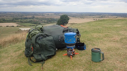
Settling back down to my seat, I whipped out the Jetboil and brewed a post-lunch cup of tea.

I’d spend a good hour sat up on the hill before beginning my eventual descent. I felt better prepared for my next long-distance walk, which won’t happy now until perhaps May 2019.
I’m certain that I will not be using the same rucksack. For me personally, it’s too heavy and I can manage with something around fifteen litres smaller. I also have questions over the shoes I wore because, although they’re well made and waterproof, they are not a perfect fit for my foot shape (which is my own fault, for buying them ‘blind’ online and without guidance).
Descending the northern slope of the Beacon, I’d arrived directly beside the bus stop. Having planned this section in advance, I knew that I would need the No.61 bus for Aylesbury… But, I hadn’t studied the timetable carefully and would have to wait for over an hour (iPod in my ears) before the next one.
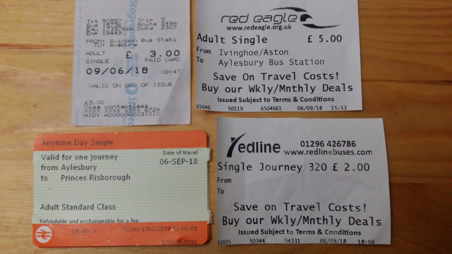
Contrary to what was printed on the board, I waved down the 61A bus at its arrival time. Without too many questions, I was en route to Aylesbury bus station. It had cost me £5 (cash only) and even the driver was friendly. From Aylesbury, I’d have a choice to make, as to how to reach my camera all the way back in Watlington.
Perhaps the most logical option was to take a train north to Oxford (another hour’s journey) and then to find a different train from there heading south to Watlington (perhaps a third hour long), which would leave me with a relatively short walk back to the car…
 My fear was that I’d never been in to Oxford (with the exception of a sawmill near Abingdon) and I feared having to negotiate and navigate a potentially busy city centre. Plus, a part of me was keen to face my fear of setting foot on a train.
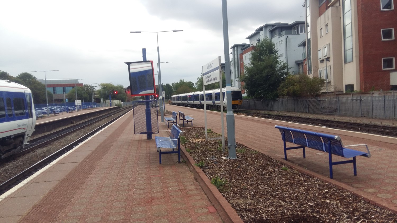
Aylesbury’s train station is conveniently across the road from the bus terminal. I knew this ahead of time and I was even able to use the self-service ticket machine outside of the main building. It was a bit of a challenge, having to constantly wipe rain drops from the touch-screen to make each selection. But I had soon paid and held on to my prize.
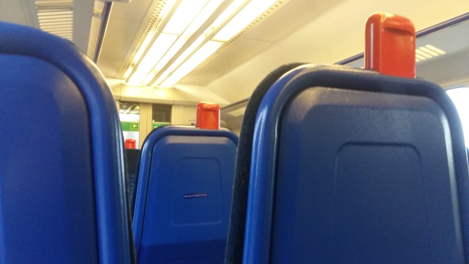
My next challenge was to overcome the turnstiles – for which, I held back and watched what someone else did, as physically pushing the barrier didn’t seem to work. I’d arrived early but would soon be seated on the train for Princes Risborough. There weren’t nearly as many people on board as I’d feared, even though this was around 17:00.
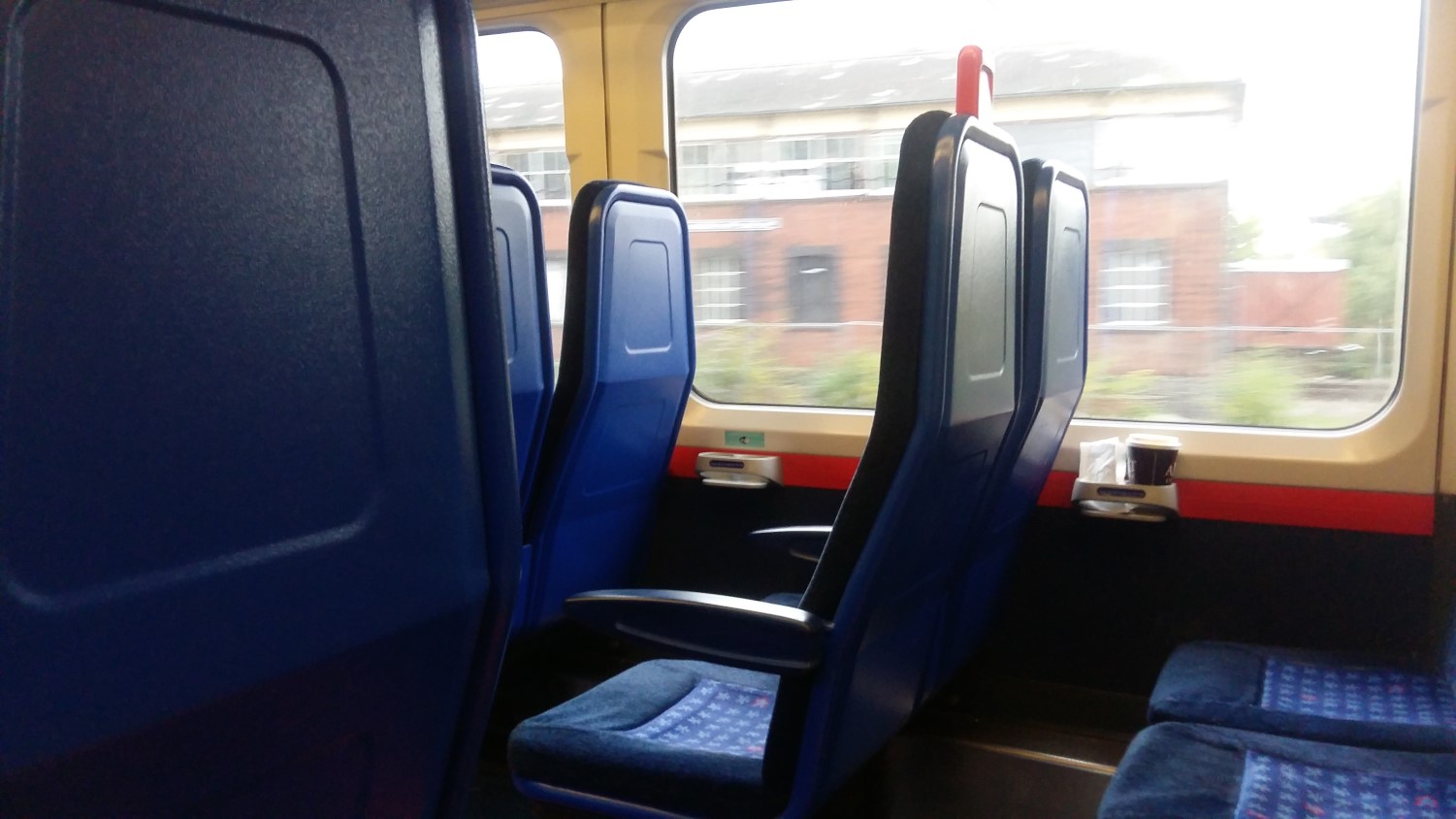
It was a smooth ride and the automated tannoy clearly tells you which stop your arrived at and whether or not everyone must get off. I was only disappointed by the litter left on board. Why can’t people just carry it out?
I kept my ticket (I had three “tickets”) on the seat beside me, expecting a conductor to turn up and ask to see it – just as they do on TV. Sadly, I didn’t get to experience that. I can’t imagine any trains in or around London being so devoid of passengers.
From Princes Risborough, I was looking to get on the 320 bus to Chinnor. But the one outside the station was marked with 321 on its side… While the driver hung about in one of the rear seats, chatting audibly on his phone. No-one else was waiting awkwardly like me. Anyway, it was the bus I wanted and the journey cost me just £2.
I thought this driver seemed a bit grumpy and typical of most public transport operatives I’ve encountered in my life. I told him I was going to The Red Lion (a landmark I could use to find my way and I knew there was a stop outside). But we passed it without my noticing… Thankfully though, the driver was aware, dropped me off at the next stop (a short distance along the road) and all was good.
From Chinnor, I was able to navigate my way back on to The Ridgeway by crossing the railway line. Ironically, I would also pass the same bus I’d just departed, which means there was probably another stop I could’ve used and saved myself a few hundred yards of walking!
Back on the trail and time was against me. I had approximately two hours of daylight left but with at least six-miles of walking to get back to Watlington…

You know when you’re climbing a hill or mountain and you experience a false summit, where you believe you’re reaching the very top, only to then realise it climbs higher still?
I experienced something similar to this that evening, in my quest to reach Watlington Hill before night fell!

I left the trail a few hundred metres ahead of Hill Road and turned left to follow the Oxfordshire Way. Which looked like it was a parallel road… Until I arrived at Pyrton Hill House I found a track climbing up the hillside. At the least the waymarking was clear under the beam of my head torch!
I found my way safely to the road junction near Christmas Common, from which I would turn back on myself and follow the road to the car park. Thankfully, it was almost free of passing traffic. I had my headtorch set to strobe mode (possibly not necessary) and held the fluorescent raincover of my rucksack out in front, just in case.
But I was merely overtaken by one cyclist and then some mad-cap runner.
I’d left my car at this National Trust car park on the previous morning; knowing that there was a great risk I’d return to find my car had been broken in to…
Many trees around the car park were tagged with Police posters. I’d left nothing in sight and had carried all of my valuable possessions with me. But I’d noticed broken glass all over the parking area, as I’d arrived on Wednesday morning…
My heart stopped when I saw glass down next to the nearside of my car… Performing a full inspection of all windows, locks and windscreens, I was deeply relieved to find that NOTHING had been broken! PHEW!! This was a worry I’d carried with me for over thirty-miles of walking.
There are many memories that I will carry from my experience of walking The Ridgeway. Lessons have been learnt along the way. Dealing with public transport was a huge obstacle for me to overcome. I think I’d have struggled more so, following my original plan to delve in to London. But I feel more able to face my next long-distance adventure.
As far as physical souvenirs go, I’m holding on these tickets, where some others may (wrongly) decided to steal waymarkers from a National Trail.
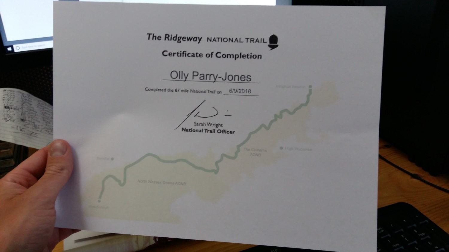
There’s also the certificate I printed online!

I’m glad you’ve completed your first long distance trail. I did the Ridgeway as a series of day walks, it must have been about 10 years ago, but enjoyed it very much (though I didn’t get a certificate like you). I’m not sure what you were worried about catching a train and I’m glad it went well for you, but it sounds like a bit of a marathon journey back with 3 buses, a train and 6 miles further to walk!
Finding somewhere safe to park for more than 1 day can be a challenge and I’m glad you didn’t have any problems. Most car parks are limited to 1 day or so. People have recommended to me to find a residential street that is not restricted and has a few parked cars and try to find somewhere to park (but not right outside someones house). The idea being it is somewhere people are walking past so there is less likelihood of crime whilst not picking somewhere where there is too much pressure on spaces (and so likely to annoy the residents). However if doing a multi-day walk I usually prefer to travel there by train/bus to avoid this.
LikeLike