Beak Hills to ‘Wild Camp’ (21 miles)
Tuesday 14th September 2021
After two nights of camping across the North York Moors, I was really starting to settle in to my walk along the Cleveland Way. This third day would be my longest of the week and by the end of it, I’d almost be clear of the moorland section and ready to step on to the coastline in Day 4.
Oh and, unless something would change suddenly, I’d be wild camping at the end of it! In an area I’d not visited before.

After a windy night in my tent, this morning seemed slightly more settled. I hadn’t slept all too well but was ready to get up and start breakfast at around 8am.

While the water for my porridge was boiling, two ladies (both walkers) emerged from the B&B, said good morning and carried on up the track to rejoin the Cleveland Way. Little did I know, I’d catch up with them later on.

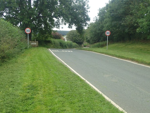
I think it was gone 9 o’clock by the time I’d packed my tent away and was heading north to rejoin the Cleveland Way. Without a wild camp in mind (and “arrive late” being part of the motto), I was in no great hurry. But in the photo above, you can see the first hill waiting for me, around Broughton Bank and another solo backpacker (with a rucksack larger than mine) on his way ahead of me.

This was morning was by far the toughest I’d faced so far and the undulations were going to see me through until lunchtime.


Another overcast day on the cards, with the threat that wet weather would arrive by the early evening. It wasn’t quite as windy as on day two but there was a definite chill about the air.

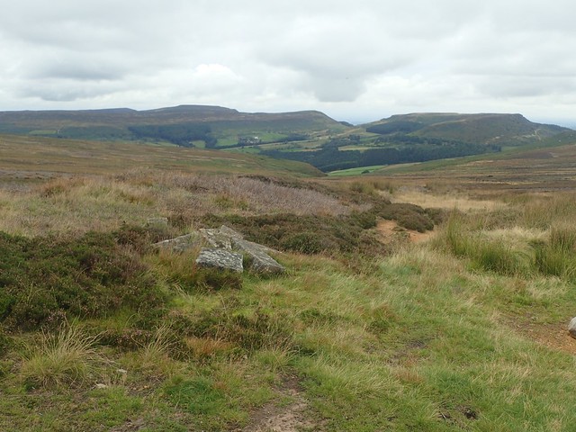
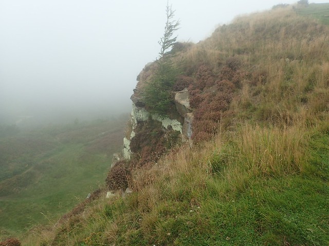
At the top of my second climb that morning, I met an area known as the Wain Stones. Possibly the most craggy and rocky summit of the North York Moors. All sandstone and said to be very popular with rock climbers.

I overtook that other backpacker at this point and we were both too breathless from the climb (or wanting solitude from others) to chat about who we were and where we might be going. I’d hoped it might’ve been Alex, who I’d met briefly around twenty-four hours earlier. But this guy, as I was saying, had a pack even larger than my fifty litre! I’d presume he was also doing the Cleveland Way.


I made the mistake of walking beneath the great rocks for a moment and then climbing back up to rejoin what was the official Cleveland Way. Another walker had dropped a bottle of liquid – possibly mehtylated spirits, which could’ve been used as fuel for their alcohol stove.
From a distance, I could see Roseberry Topping and its fin-like figure on the horizon. Today was the day I would finally reach it!

Another visual marker was the Blisdale Transmitter, as I now know it. I’d spent the past couple of days circumnavigating it from and distance and, from here on, I’d be turning north. Heading away and out of sight.
Thanks to Martin for recently informing me that it was demolished soon after my visit, after an incident involving fire.

This would be my final day what I dub as the moorland section of the Cleveland Way. A time to cherish, while looking forward to several days following the coast of East Yorkshire.
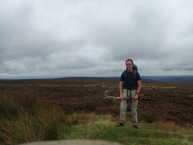
I followed Carr Ridge up and on to Urra Moor – which I didn’t realise at the time, is the highest point in all of the North York Moors. A real bonus when visiting any National Park!

I soon spotted this trig point and followed a worn path to its location.

At 454m above sea level, this was indeed the highest point on the moors and, on this Tuesday morning, there was no-one else about.
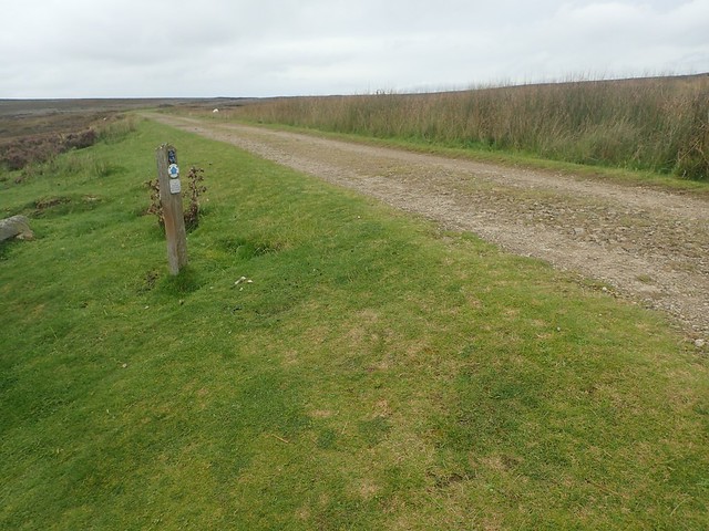
Soon after this photo opportunity, I arrived at Bloworth Crossing and the telltale sigs of a raised bank indicating that a train or tram line had once crossed through here. I used this bank as a place to stop for a few bites to eat and to put on my waterproofs, ready for what felt like imminent rain.


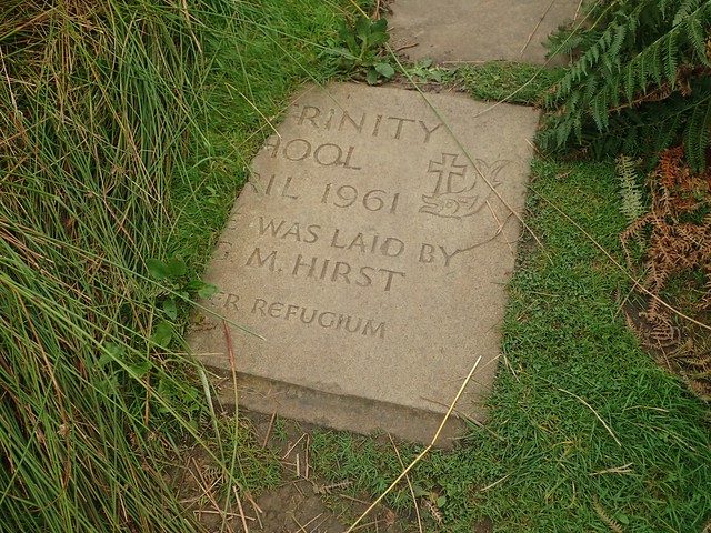
I’d passed a good number of standing stones and boundary stones throughout this morning. Some had been inscribed with single letters and calendar dates.


From Bloworth Crossing, I walked north across the Cleveland Hills. On to Battersby Moor and then, as I approached what looked to be a road, I would pass one of the two ladies I’d seen leave the Beak Hills B&B before me.

This quiet road would lead me on a long and winding descent in to Kildale, which would mark the halfway point of my day. I soon caught up with the second lady, between signs for a private cattle grid.

My feet were feeling sore from all of this sudden road walking. As I approached the road leading west-to-east in to Kildale, I passed a sign for a nearby campsite. It is one that I looked at in planning for this trip but, I still had more than ten miles to walk on this day and stopping here would’ve upset too much of my plans.


Along the road and left. Down another road. Under the railway bridge. Then the route began to climb again as I passed Bankside Farm.


It was quite the steep ascent and I would soon pass a pair of other walkers (only out for the day) who commented on the incline. I was also reaching for a late lunch stop and rather desperately. Captain Cook’s Monument was almost in my sights.


This monument was built nearly two-hundred years ago and in the memory of Captain James Cook, who’d grown up nearby in Great Ayton. It’s a popular place for walkers and visitors. Especially continuing north from here to Roseberry Topping.
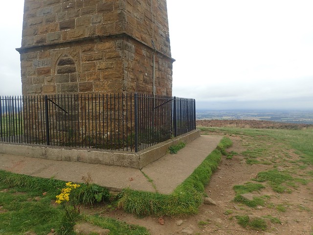
It was finally time for lunch and I believe it was something daft like 14:30 by this point. There was no escaping the cold wind from here, which had grown in strength from late morning. Except for on the west side of the monument, which was already occupied at the time of my arrival.

I could even look back at the line of hilltops I had already conquered. A great achievement! But I still had the option of the next hill and, more pressingly, the uncertainties over finding water and wild camping in an unexplored area overnight.

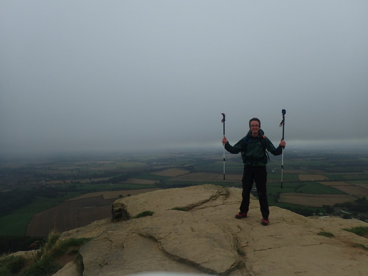
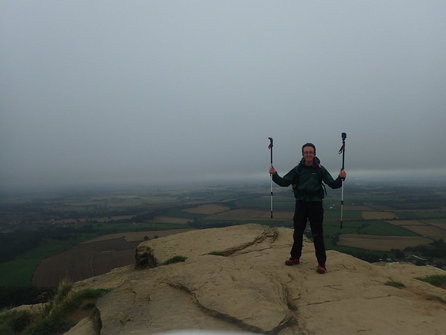
Roseberry Topping was so close now that I could pick out the individual people standing on the top. I’d been coveting this hill since seeing photos of it back in 2013. I didn’t “have” to go up, although it is part of the official Cleveland Way. I was tired but didn’t know when I might returns to this National Park.

Leaving the monument, I passed a car parking area and a few picnic benches in the next valley, before yet another climb up on to higher ground.


On the way up to Roseberry Topping, I could see only two walkers ahead of me.

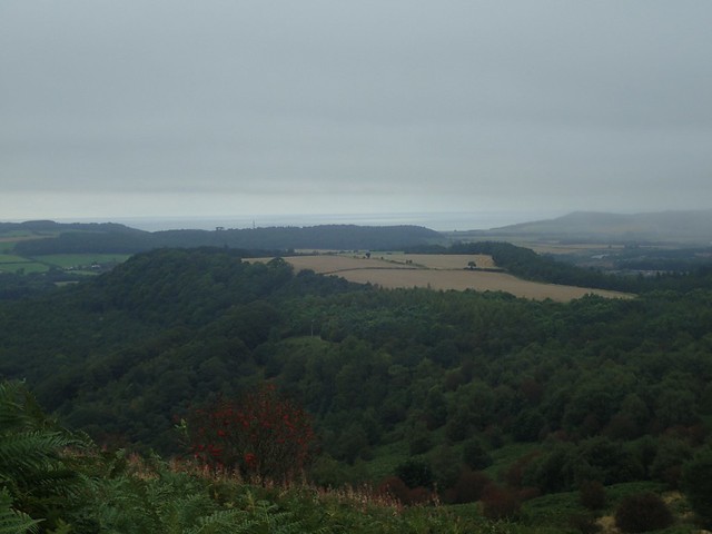
As I began the steady climb up the limestone staircase towards the top, I could look at to a glimmer of the coastline. The sea! Possibly around Saltburn-by-the-Sea, which I would be heading for the next morning.


Cloud was coming in as I made my way on to the summit. I found it hard to believe that this one is only 320m above sea level. One of the other two walkers asked me if I could see another way down… But the routes I saw looked full of scree and loose gravel. Treacherous. We all decided that the best course was to descend along the same man-made path we’d followed to get up here.

From here on, I was focused hard on getting to the woods where I’d intended to wild camp for the night. At this rate, I could get there at around 18:00 and with plenty of time to walk about, explored, look for possible tent locations, find a water source and settle down as night fell.


I followed a limestone path above Hutton Village, passing one mountain biker on the way. As I made my way in to Highcliff Wood, I was already pondering about stopping here on this flat open land… Except for the fact that I was in full view of Highcliffe Farm!
I followed the way to Highcliff Nab, which looked quite ideal, if I could pitch infront of the shelter of this tall cliff. But a couple of walkers and climbers were coming around. Perhaps I could return later? Either way, I still needed to find water.
Above these cliffs were some lovely flat areas, albeit without shelter. I think there was even a picnic bench.
I probably spent the next hour walking around Guisborough Woods. Leaving the Cleveland Way. Plunging down bridleways. Scooping water from a large puddle. Exploring an old quarry to find it heavily lumpy and overgrown. Slipping backwards on my way down and out of the quarry…

All while the rain was beginning to fall more heavily. I returned to a viewpoint overlooking this quarry and metres away from the Cleveland Way. It was flat enough. This rain was only growing stronger. I pitched my outer tent in a hurry and scrambled inside. The inner tent could wait… For a break that never came. I would endure my worst night on the Cleveland Way but there was always tomorrow to look forward to and emergency Wind Gums in my rucksack!
Length of this walk = 21 miles
Thanks for reading.

Very interesting Olly, you are a pleasure to follow as always.👍
LikeLike