Saturday 27th May 2018
Close to eighteen-months after buying the Ordnance Survey map, I found myself heading to Dartmoor for the very first time, with the intention of staying for the full weekend.
My plan was to begin with a ten-mile walk that would take in some of the highlights to the north of the moors, including Yes Tor and High Willhays, the highest point.
My drive down was fairly straightforward. From the M5, I’d follow the A30 heading west, then turn off near Okehampton. Except, I left one junction too early and ended up driving through the congested town centre, before eventually discovering the welcome road signs for Meldon Reservoir, from where I would park my car and begin the walk.

It’s free to park beside the reservoir (as far as I could see), there’s room for many cars and they even have a toilet block (which is, again, free to use).
I saw the kissing gate beneath me and, feeling slightly disoriented within this spacious parking area, I believed it would see me on my way with the start of this walk… Except, as I drew closer, I realised it had been chained and padlocked shut. I also realised that other small groups of walkers had continued on behind the toilet block, which another small group of people behind me were preparing for some kind of navigation or skills assessment, from what I could overhear…
Not wanting to make a spectacle of myself, I took a few photos, as if that was my intention all along.
Ah, photography… Would you believe that, in all my boot-lacing preparations to get ready for this walk, I’d somehow managed to leave my camera at home?! That one item that goes with me everything. Often the first item to find its home within my backpack.
I’d hoped to be able to film this walk for YouTube but, that was now out of the question. I would have to use my phone for photography and suffer the consequences of the drain on battery life.
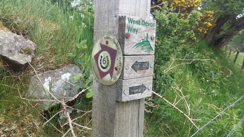
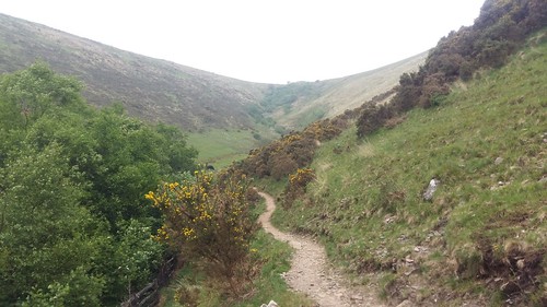
In an anti-clockwise fashion, I began walking south-west along a bridleway that would soon join the West Devon Way and Two Castles Trail.
Early in to my Dartmoor debut, I found the presence of such a right of way to be reassuring. One of my biggest fears about moorland walking is getting badly lost in an area where few paths or tracks can be found and you’re resigned to sploshing through wet marsh and deep bog.
This way would guide me on to the access land of Sourton Tors, from which I could begin the climb up to the summit.
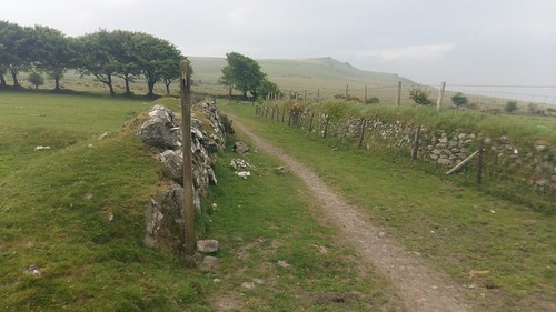
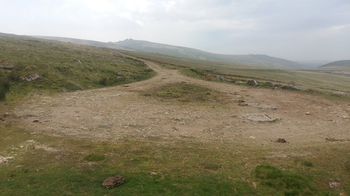
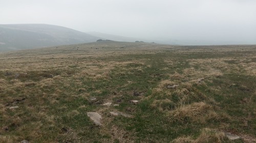
There is a track to follow most of the way, which has probably been used by farmers and horse riders for many decades.
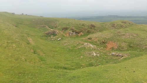
I also found evidence of ditches and earthworks excavations. What or who was once laid to rest here? Or was this a redundant form of livestock enclosure?
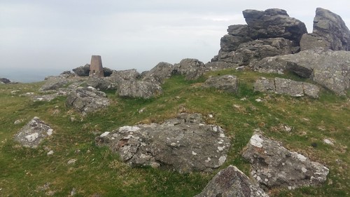
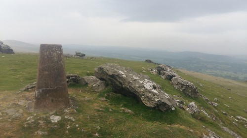
Amongst the rocky tors, a trig point can be found; standing 440m above mean sea level. Higher than many parts of Somerset and all of the Cotswold Hills. Wiltshire, also.

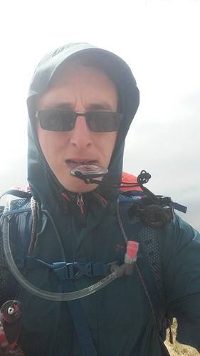
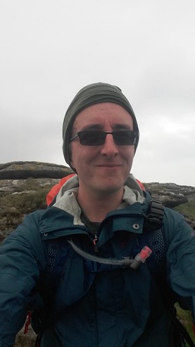
While the day had started brightly enough, change was in the air. Apparently, Dartmoor is known for this! I was able to use the tors as a wind shelter in order to equip my waterproof jacket, after taking this windswept selfie from beside the trig.
I’m thinking about returning to Dartmoor and doing a night’s wild camping, as it is legally permitted there. Sourton Tors may be a contender for a first night out, as it’s not a million miles from civilisation, should the conditions turn against me.
Wild Camping Map – Where you ‘Can’ and ‘Can Not’ on Dartmoor

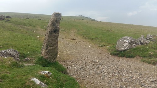
From Sourton Tors, I decided to take a compass bearing south towards a boundary stone, from which I could rejoin the track I’d left earlier. This is the kind of navigation practice I don’t do often enough.
All going well so far, I walked further south along the western slope of the Corn Ridge to arrive as this ‘inverted V’ of a track junction. From here, I could’ve taken another bearing and plotted my way up the rough hillside and towards the cairn or Branscombe’s Loaf. Instead, I kept walking on.

This is where I crossed Lyd Head; the source of the River Lyd. Water sources are essential for most wild campers, from what I’ve seen on YouTube. While the downsides are that they attract midges in the evenings and maybe the occasional wild animal (and no to mention their poo).
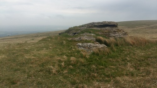
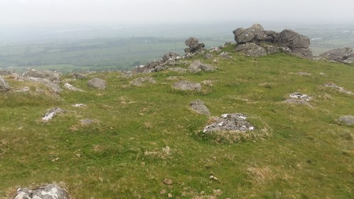
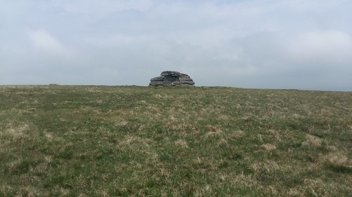
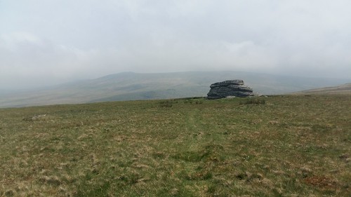
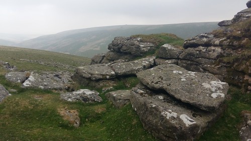
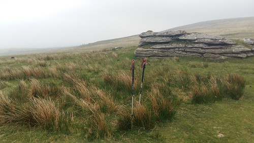
I thought it might be easier (less steep) from here to climb up on to Corn Ridge. I followed one track away from the main to reach Gren Tor, which you can see above.

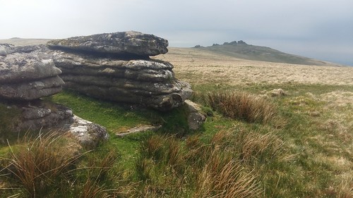
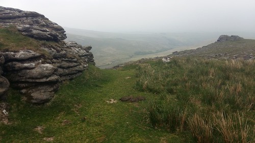
Continuing further south-east along this ‘path’, I would reach Hunt Tor. To the right, you can just see the navigation practitioners I’d managed to avoid in the car park.
I felt a temptation to continue south to Great Links Tor… This wasn’t within my original plans and it didn’t look too far… But it would’ve meant an extra kilometre of walking each way. I decided to save it for a future visit.
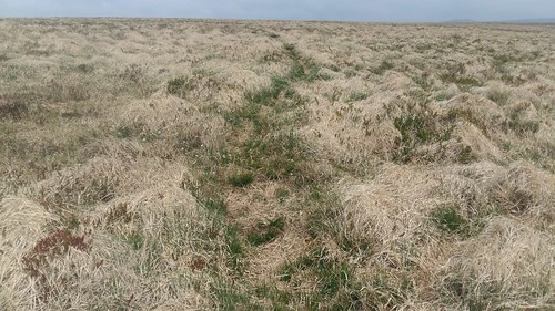
From Woodcock Hill, I knew I would have to walk north to reach Corn Ridge. There even appeared to be a path that someone had plotted before me. I followed it…
As far as I could. It soon dawned on me that this was probably a horse or sheep track. It weaved east and west; up and down the slope. I managed to avoid the worst or the marsh around Lyd Head (much of which was dry, anyway) but I hadn’t anticipated so many tussocks. It was a very long two kilometres; much like a section of a previous walk on Exmoor. Being high upon a ridge, I was surprised not to find a track of any sort, even though there was no suggestion from the map that there might’ve been one.
By this time, the sun was out again, as I trekked awkwardly across terrain that demands boots with ankle protection. But the wind was still howling. Perhaps only on Dartmoor, could I find myself wearing a hood in bright sunshine!
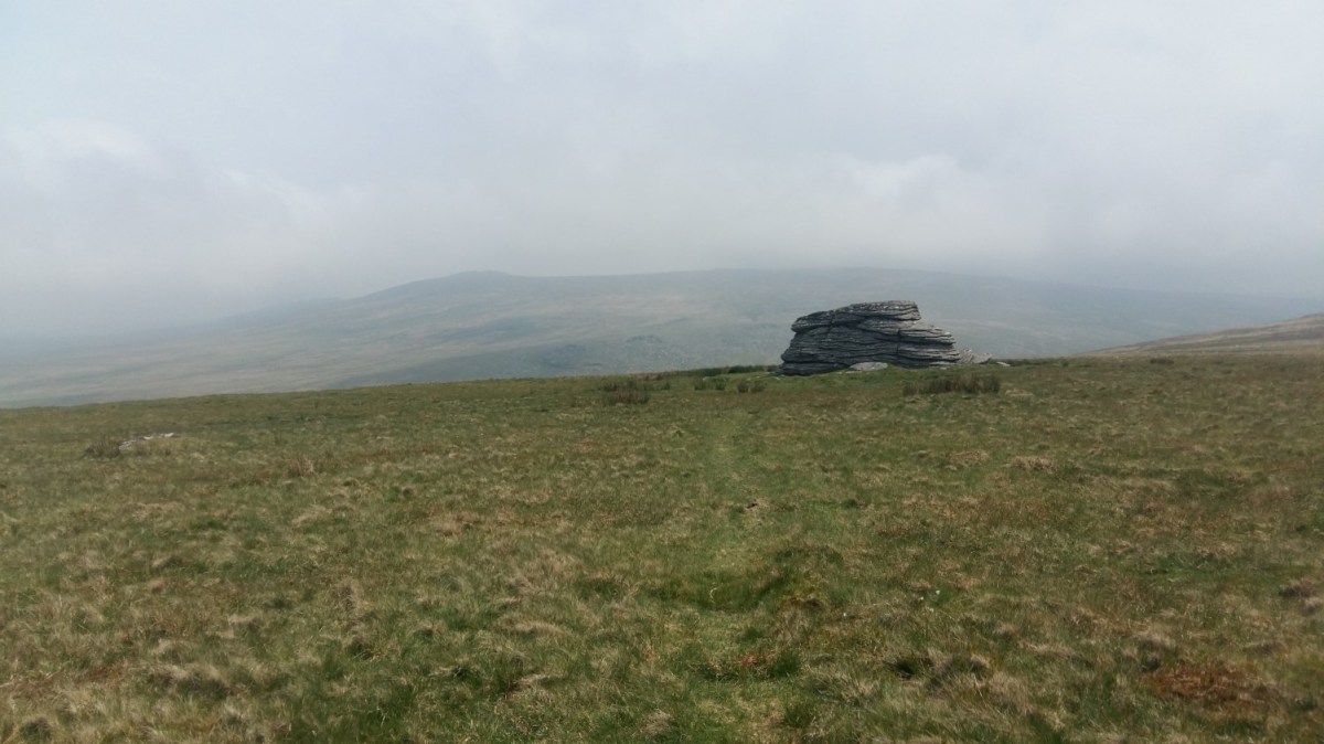
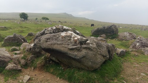
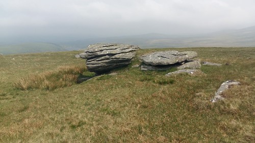
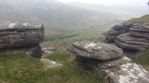
There was Branscombe Loaf; a sight for sore eyes and equally tired feet.
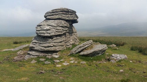
This would’ve been the ideal form to use as a shelter during my lunch stop, except for the fact that the wind appeared to be whipping around from all sides.
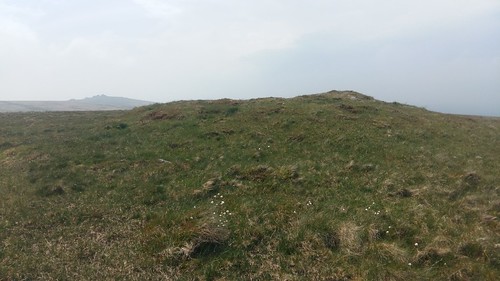
I wanted to believe this was the cairn as indicated on the map. Albeit, significantly overgrown. Looking again, I’m not so sure. I didn’t see anything any more prominent.
Another rock formation offered just enough shelter from the easterly breeze. All I had to be wary of was the abundance of sheep poo. Everywhere and anywhere.

I set up my action camera, pointing across the valley and towards the highest point of Dartmoor for a timelapse filmed over thirty-minutes.
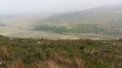
Down beneath me was Black-A-Tor Copse. A local nature reserve and one of the areas in which wild camping is strictly prohibited, in spite of its close proximity to the water source.
Straight after lunch, I’d be looking to cross the valley and head up to High Willhays.

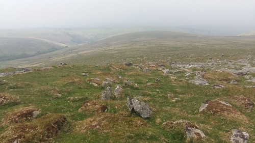
Once again, there was no discernible path to lead the way, as I began to descend very gradually down the side of the ridge, passing numerous startled sheep and heading for the ‘kink’ in the river that I could identify on my map.

This mean crossing in on to a firing range, which is sometimes closed to public access. The following descent was rocky and even boggy to the point where half my leg disappeared down an unseen hole!
Dartmoor Firing Times

Eventually, I made it down to the water’s edge safely, squelching my way towards a convenient crossing point with a view of other walkers beyond – the first I had seen in several hours.

They weren’t looking to cross the water but to continue up the valley towards Black-A-Tor Copse. Perhaps they were frightened by the appearance of another human. Having seen them come down the way I’d intended to climb uphill, I felt confident in my way ahead.

It was steep, sometimes wet in places, as I climbed north-eastward along a vehicle track that doesn’t feature on the map. I could see a feature on the brow of the hill up ahead. It wasn’t human and I deduced it must be the ‘Observation Post’ that I could see in the print.
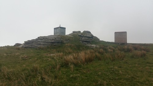
I’m sure someone else is thinking ‘Tardis’, just as I did. But I couldn’t see what else it might be, other than a point of observation.
I was some way off-course and I believed I could see the rocks of High Willhays away to my left, beyond the cows… I struggled to identify the landscape features (namely a water source and stream) that lay somewhere ahead but I didn’t let that stop me from marching on. Even though the land to my right (north) appeared to be higher than where I was heading… I reminded myself that the Earth is spherical, after all.
Here it was then, the highest point on Dartmoor; High Willhays…
Another group of walkers bearing larger rucksacks (possibly looking to camp overnight) were following in my footsteps.
With a Buff wrapped around my head for wind protection, I took a selfie. From the highest point of Dartmoor…
I could see Black-A-Tor Copse beneath me… Too close. I knew something was wrong and it was within these moments that I realised I was actually standing at Black Tor (488m above sea level); close to one-hundred-and-forty-metres beneath the highest point!!
I could’ve turned back and retraced my steps to the “Observation Post”, which was probably on the southern fringe of High Willhays. I wouldn’t be bagging the trig of Yes Tor, either. I could always come back. Right then, my thoughts turn to reaching the car and heading to my camp site.
This part could not go wrong; walking north and follow the heights of Longstone Hill. Keep in check with the valley down to the left.
It was a long time before I caught even a glimpse of Meldon Reservoir and that was because I’d followed “the wrong north” along Homerton Hill. Another Homer Simpson moment!
I would descend safely towards a steep valley and footbridge between both hills, from which I could easily follow the path around the eastern edge of the reservoir. Another man was shouting at his dog and partner as they climbed straight up the valley. I could understand a word but he sounded very local.
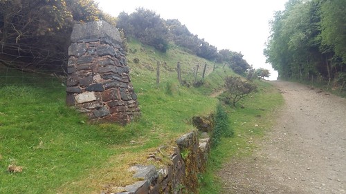
Large stone pillars can be found – one on either side of the dam – close to the crossing point of the reservoir. Are they similar to boundary posts? I think I’ve also seen these on Exmoor, normally bearing the national park name.

There’s no restriction against crossing the dam.
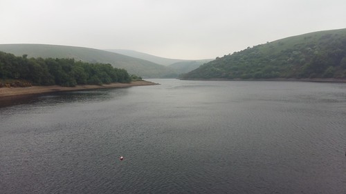
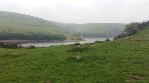
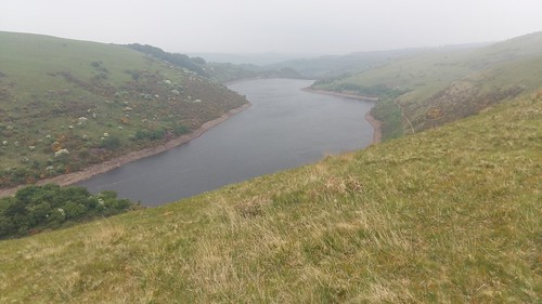
One final view of the water, before returning to my car. Expansive and almost eerie beneath the grey sky.
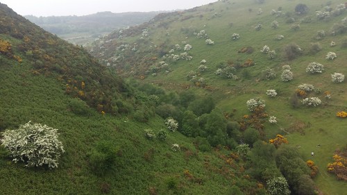
Whatever you may think of the moorland on top, some of the valleys around Devon are spectacular in their own right.
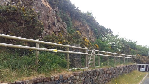
Another stone pillar exists behind this fence, where access to the cliff face is restricted due to safety concerns.
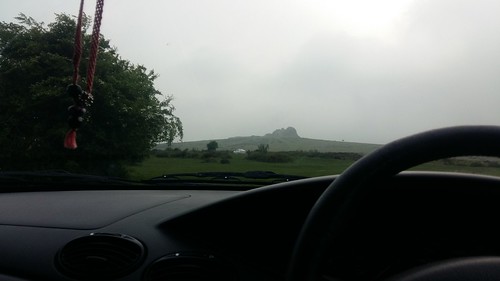
My day didn’t end quite as intended… I’d booked myself in to a camp site near Bovey Tracey – one of the only remaining options on what was otherwise a full-booked Bank Holiday weekend for most sites around the south-west. I drove to Haytor and parked up, which is only a short distance up from the camp site. I had a lot going through my head at the time. I couldn’t settle and couldn’t even contemplate the idea of entering a camp site. Neither could I leave the car for a final short walk up and back.
After a good hour of sitting, contemplating and stressing, I’d be driving back up the M5 and heading for home. It wasn’t somewhere I wanted to be but I felt confident I’d be able to relax more, if not completely. I lost a bit of money and perhaps missed an opportunity to explore another pocket of Dartmoor on the Sunday but I do not regret this decision.

One thought on “My First Walk on Dartmoor – May 2018”