
With thanks to fellow outdoor blogger Emily Woodhouse, this is my first response to what will be a series of daily prompts for this week. Not being able to get out or travel far often can leave bloggers with a lack of impetus to write. You can follow Emily’s work at Travelling Lines.
Tag: map reading
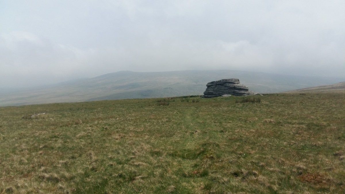
My First Walk on Dartmoor – May 2018
Saturday 27th May 2018
Close to eighteen-months after buying the Ordnance Survey map, I found myself heading to Dartmoor for the very first time, with the intention of staying for the full weekend.
My plan was to begin with a ten-mile walk that would take in some of the highlights to the north of the moors, including Yes Tor and High Willhays, the highest point.
How I Plan A Walk
I’ve been wanting to write a post about this for a little while, as I want this blog to become something more than a series of ‘I walked here, this is what it looked like and this is what I found’.]
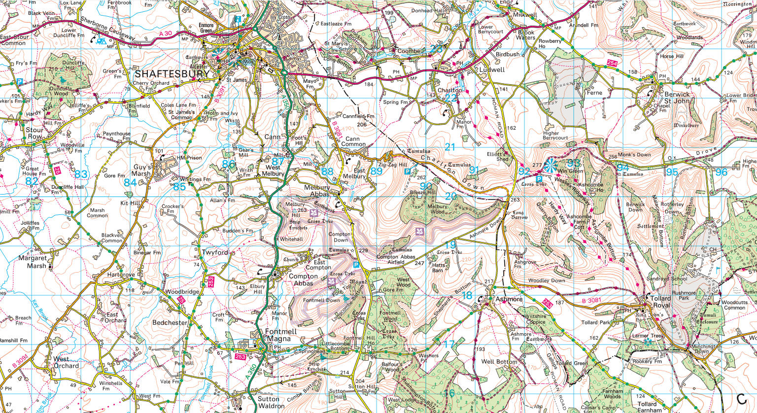
Please note: all images are taken from OS Maps, without permission.
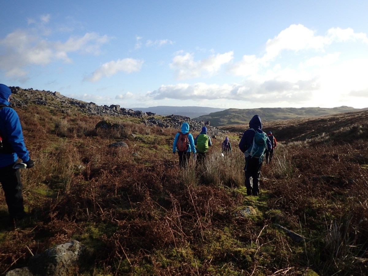
Walk Leader Training and Navigation
Saturday 11th – Sunday 12th November 2017
I’ve just spent the past few days in Pembrokeshire, towards the south-west of Wales. Last weekend, I crossed the Severn Bridge to attend a walk leader and navigation course in the Brecon Beacons.
This is something that Brunel Walking Group organise at this time every year (I was supposed to go in 2013 or 2014 but cancelled) and the course is led by Andy Cummings of Manzoku; an experienced mountain leader, hill walker and climber.
